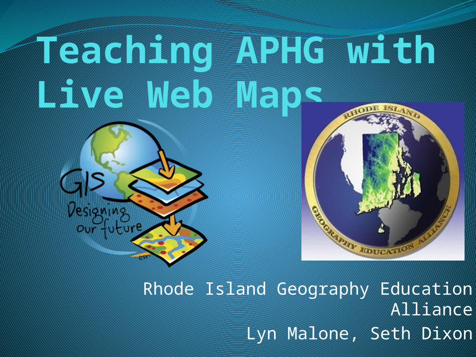
Teaching APHG with Live Web Maps
Rhode Island Geography Education AllianceLyn Malone, Seth Dixon

Geography and STEM

NEED us to teach APHG with GIS“Geotechnologies, such as GIS, GPS, photogrammetry, surveying and remote sensing, are one of the most important fields for high-quality job growth with significant economic benefits. There is a pressing need for more graduates with geographic science and geospatial skills.”
--- The U.S. Labor Department

ConnectED.esri.com
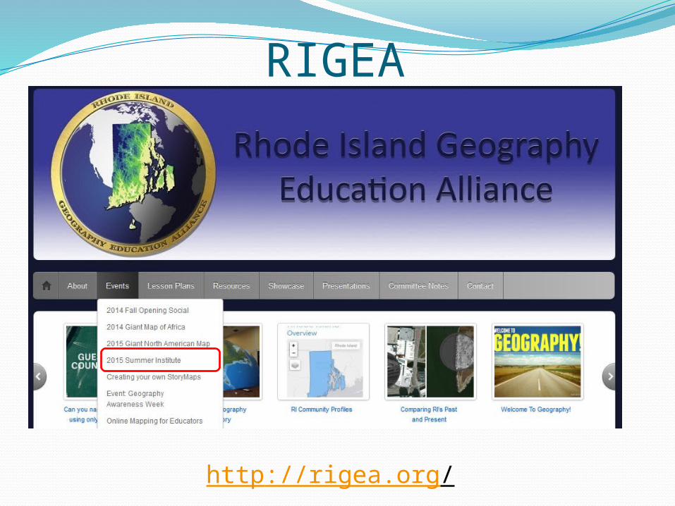
RIGEA
http://rigea.org/

What is GIS?


So what IS a web map?
A GIS map that is designed, implemented, generated, and delivered on the web.
An interactive resource that can be opened and used in a standard web browser, mobile device application, or desktop map viewer.
Here are a few examples…

Let’s get mapping!
![Ncge presents[1]](https://static.cupdf.com/doc/110x72/5a6e09997f8b9ae3258b501d/ncge-presents1.jpg)