Teaching APHG with Live Web Maps Rhode Island Geography Education Alliance Lyn Malone, Seth Dixon

NCGE 2015 Web Maps
Aug 21, 2015
Welcome message from author
This document is posted to help you gain knowledge. Please leave a comment to let me know what you think about it! Share it to your friends and learn new things together.
Transcript
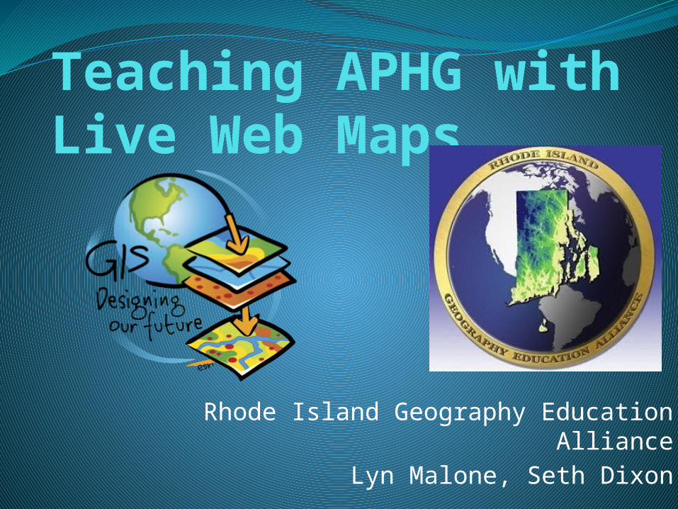
Teaching APHG with Live Web Maps
Rhode Island Geography Education AllianceLyn Malone, Seth Dixon

Geography and STEM

NEED us to teach APHG with GIS“Geotechnologies, such as GIS, GPS, photogrammetry, surveying and remote sensing, are one of the most important fields for high-quality job growth with significant economic benefits. There is a pressing need for more graduates with geographic science and geospatial skills.”
--- The U.S. Labor Department

ConnectED.esri.com
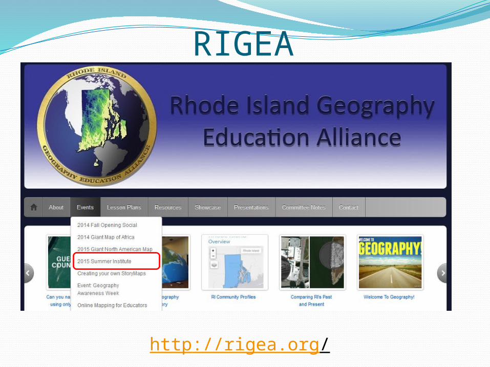
RIGEA
http://rigea.org/

What is GIS?


So what IS a web map?
A GIS map that is designed, implemented, generated, and delivered on the web.
An interactive resource that can be opened and used in a standard web browser, mobile device application, or desktop map viewer.
Here are a few examples…

Let’s get mapping!
Related Documents