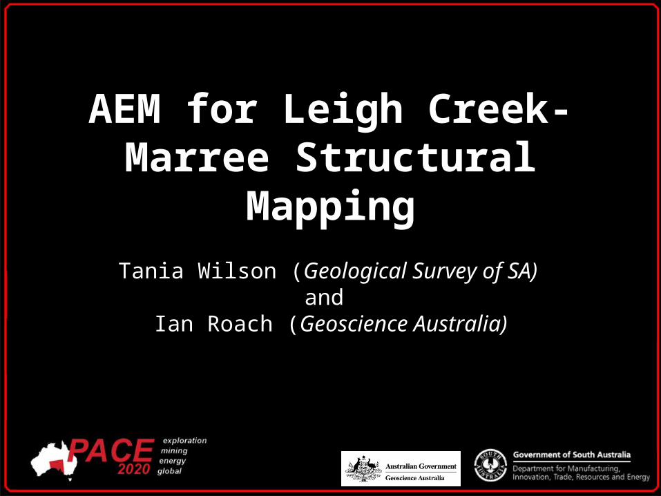
AEM for Leigh Creek-Marree Structural Mapping
Tania Wilson (Geological Survey of SA) and
Ian Roach (Geoscience Australia)

AEM Survey Location
QUESTION…In a deformed geological environment, can AEM detect accurate structural data?
ANSWER…Yes
DISCLAIMER…
Approach with CAUTION!

AEM Survey Location
• Focused on the NW corner of the AEM survey area.
• Outcropping Neoproterozoic basement.
• Late Triassic Leigh Creek Coal Measures.

AEM Survey Data
SBS 400m
LBL 400m
Depth Slices
Elevation Slices
Depth of Investigation
Conductance
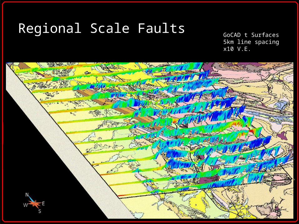
Regional Scale FaultsGoCAD t Surfaces5km line spacingx10 V.E.

Bedding
Georeferenced jpegs5km line spacingx7.5 V.E.

Data Artefacts
Georeferenced jpegs5km line spacingx7.5 V.E.

Witchelina DiapirGoCAD t Surfaces5km line spacingx10 V.E.

Witchelina Diapir
Georeferenced jpegs5km line spacingx7.5 V.E.

Skillogalee Dolomite
Georeferenced jpegs5km line spacingx7.5 V.E.
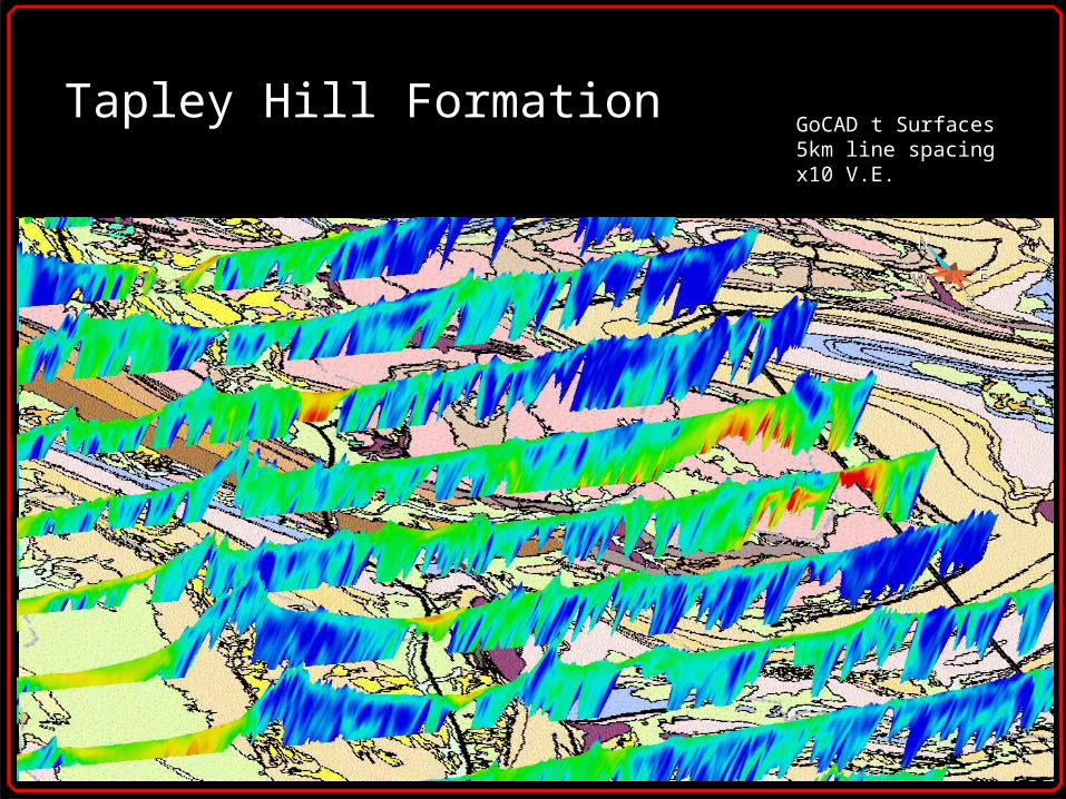
Tapley Hill FormationGoCAD t Surfaces5km line spacingx10 V.E.

Leigh Creek Coal Measures
5-10m Depth Slice

Conclusions
• Regional scale faults.
• Bedding.
• Potential to detect facies variations.
•3D mapping of diapirs.
•Potential for target generation.