AEM for Leigh Creek- Marree Structural Mapping Tania Wilson (Geological Survey of SA) and Ian Roach (Geoscience Australia)

AEM for Leigh Creek-Marree Structural Mapping Tania Wilson (Geological Survey of SA) and Ian Roach (Geoscience Australia)
Dec 14, 2015
Welcome message from author
This document is posted to help you gain knowledge. Please leave a comment to let me know what you think about it! Share it to your friends and learn new things together.
Transcript
AEM for Leigh Creek-Marree Structural Mapping
Tania Wilson (Geological Survey of SA) and
Ian Roach (Geoscience Australia)

AEM Survey Location
QUESTION…In a deformed geological environment, can AEM detect accurate structural data?
ANSWER…Yes
DISCLAIMER…
Approach with CAUTION!

AEM Survey Location
• Focused on the NW corner of the AEM survey area.
• Outcropping Neoproterozoic basement.
• Late Triassic Leigh Creek Coal Measures.

AEM Survey Data
SBS 400m
LBL 400m
Depth Slices
Elevation Slices
Depth of Investigation
Conductance
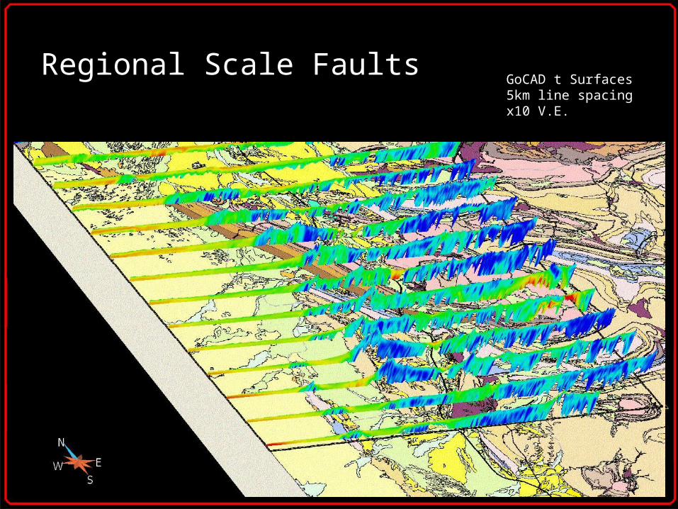
Regional Scale FaultsGoCAD t Surfaces5km line spacingx10 V.E.

Bedding
Georeferenced jpegs5km line spacingx7.5 V.E.

Data Artefacts
Georeferenced jpegs5km line spacingx7.5 V.E.

Witchelina DiapirGoCAD t Surfaces5km line spacingx10 V.E.

Witchelina Diapir
Georeferenced jpegs5km line spacingx7.5 V.E.

Skillogalee Dolomite
Georeferenced jpegs5km line spacingx7.5 V.E.
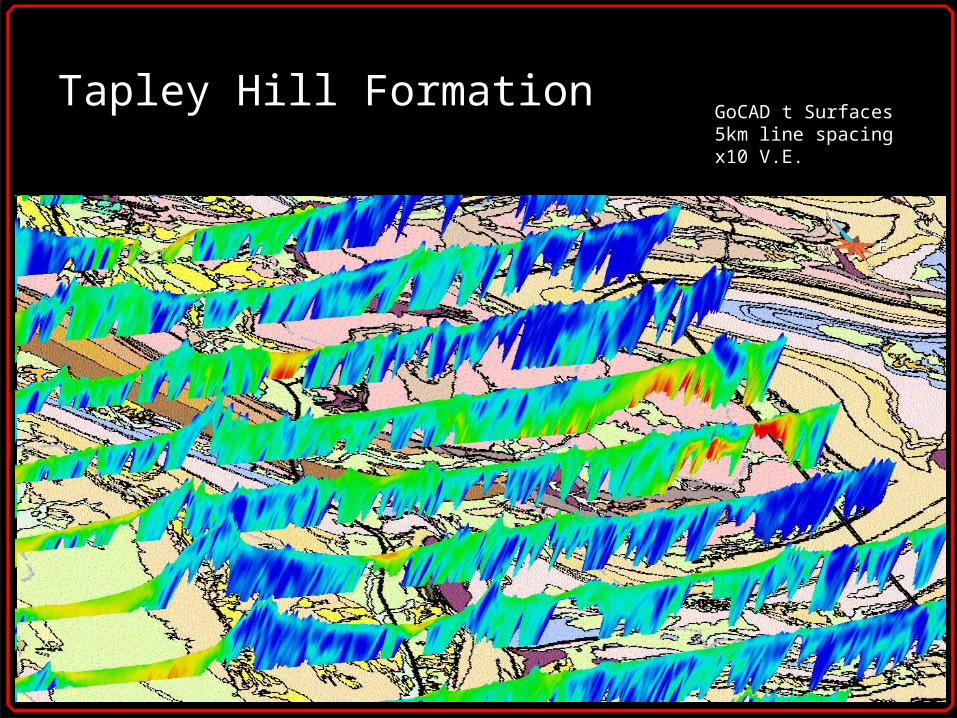
Tapley Hill FormationGoCAD t Surfaces5km line spacingx10 V.E.

Leigh Creek Coal Measures
5-10m Depth Slice

Conclusions
• Regional scale faults.
• Bedding.
• Potential to detect facies variations.
•3D mapping of diapirs.
•Potential for target generation.
Related Documents