Observer Scanner Training Understanding Weather Section 10 by 1st Lt. Alan Fenter

Observer Scanner Training Understanding Weather Section 10 by 1st Lt. Alan Fenter.
Dec 28, 2015
Welcome message from author
This document is posted to help you gain knowledge. Please leave a comment to let me know what you think about it! Share it to your friends and learn new things together.
Transcript
Observer Scanner Training
Understanding WeatherSection 10
by 1st Lt. Alan Fenter

Level II Technician Rating
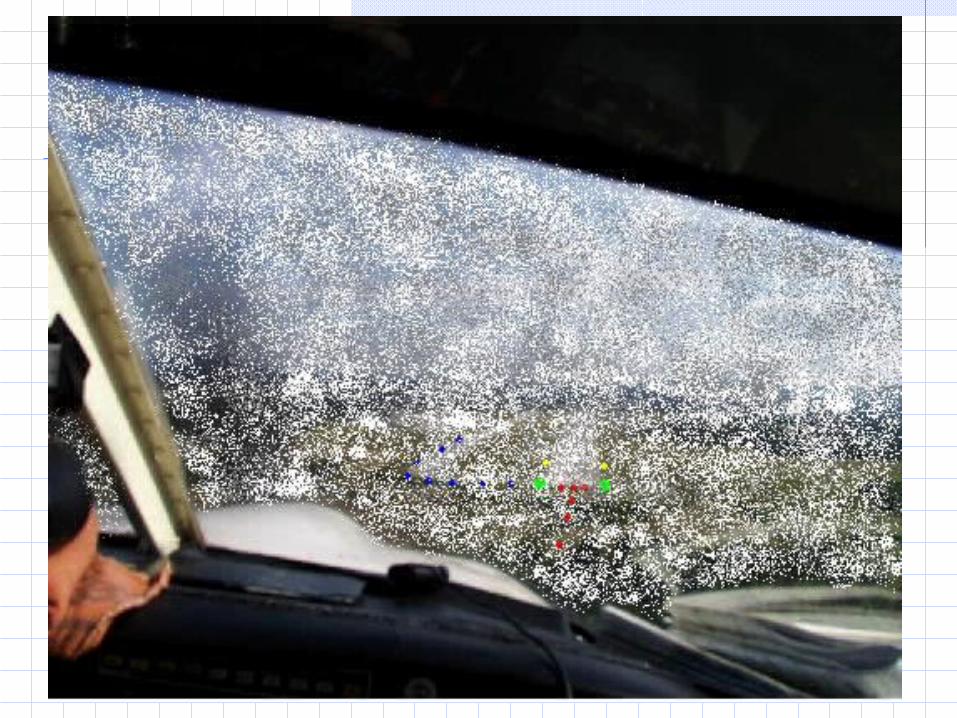
Section 1: Reduced Visibility
Objective:Discuss acceptable flight visibility, fog, and search area hazards.

Level II Technician Rating
Flight Visibility
Category Ceiling Visibility
IFR Below 1000 Feet
And /or Less than 3 miles
MVFR 1000 to 3000 Feet
And /or 3-5 miles
VFR* Greater than 3000 Feet
And Greater than 5 miles
*By definition, VFR is greater or equal to 1,000 Ft. Ceilings & greater or equal to 3 miles visibility. MVFR is a sub category of VFR

Level II Technician Rating
Check for Understanding
What does the FAA consider acceptable visibility for Safe flight?
3 miles lateral visibility with 6/10 of cloud cover with a base at least
1000 feet above the surface.

Level II Technician Rating
Check for Understanding
What is the biggest problem caused by fog?Difficult of impossible to see runways
or landing areas
Level II Technician Rating

Level II Technician Rating
Check for Understanding
What type of man-made object becomes a much greater hazard to search aircraft when visibility is poor?
Very tall towers
Level II Technician Rating
Section 2: Haze and Smoke
Objective:Complete statements concerning haze and smoke as flight hazards.

Level II Technician Rating
Check for Understanding
A fine dust causing a lack of transparency in the air is called ________.
haze

Level II Technician Rating
Check for Understanding
A condition in which cooler air is overlain by warmer air is called ____________________.
Temperature Inversion

Level II Technician Rating
Check for Understanding
A stable atmosphere means the air does not mix through transfer of ________.heat
Level II Technician Rating
Check for Understanding
The transfer of heat is called ____________.
Convection

Level II Technician Rating
Check for Understanding
Calm winds that do not move haze and smoke out of areas cause poor ________.visibility

Level II Technician Rating
Check for Understanding
In the summer smoke and haze may extend upward over _______ feet during the heat of the day.
10,000
Level II Technician Rating
Check for Understanding
In smoke and haze the greatest surprise to small aircraft pilots is the ______________.
Thunderstorm

Level II Technician Rating
Section 3: Blowing Dust, Snow, & Sand
Objective:Discuss the conditions and dangers involved with dust, sand, snow, and whiteout.

Level II Technician Rating
Blowing Dust or Sand
Wind can spread dust over hundreds of miles and upward to 15,000 feet.One choice…Turn and LAND!

Level II Technician Rating
Section 4: Turbulence
Objective:Select true statements from false ones concerning wake turbulence, its dangers, and proper procedures to deal with it.

Level II Technician Rating
Four Categories of Turbulence:
Light - unsecured objects are displace slightly Moderate - unsecured objects are dislodge Severe - unsecured objects are tossed about Extreme - aircraft practically impossible to control

Level II Technician Rating
Turbulence types:
Low-Level Turbulence LLT Turbulence Near Thunderstorms TNT Clear Air Turbulence CAT Mountain Wave Turbulence MWT
Level II Technician Rating
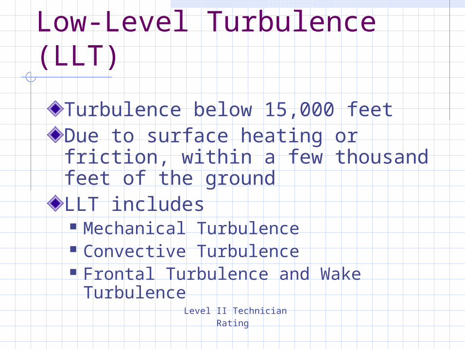
Low-Level Turbulence (LLT)
Turbulence below 15,000 feet Due to surface heating or friction, within a few thousand feet of the ground LLT includes Mechanical Turbulence Convective Turbulence Frontal Turbulence and Wake
Turbulence

Level II Technician Rating
Mechanical Turbulence
Obstructions such as a line of trees, buildings and hills Strong winds flowing perpendicular to mountain ridges - greatest on leeward side During gusty wind conditions, approach and land using power-on

Level II Technician Rating
Convective Turbulence
Cause by thermals produced by daytime heating of the air in contact with the hot ground. Bubbles of air (thermals) rise causing low level turbulenceIf the air is moist, cumulus clouds may be seen Convective turbulence can be from light to severe turbulence

Level II Technician Rating
Frontal Turbulence
Just ahead of a fast moving cold front Updrafts can reach up to 1000 feet per minute
Level II Technician Rating
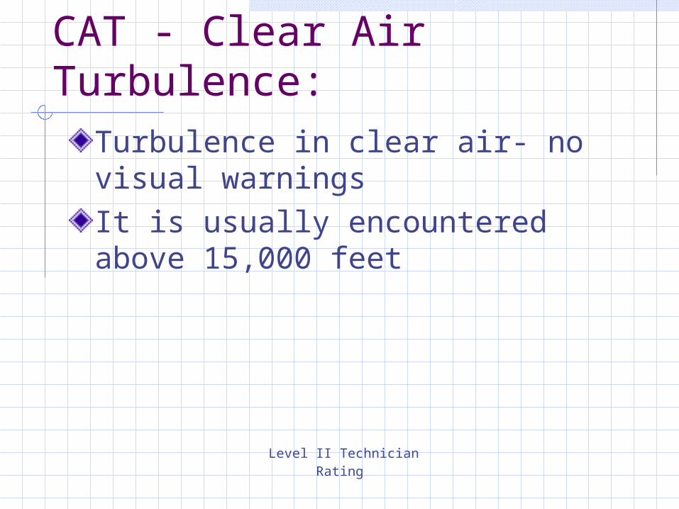
CAT - Clear Air Turbulence:Turbulence in clear air- no visual warnings It is usually encountered above 15,000 feet

Level II Technician Rating
CAT - Clear Air Turbulence:Often develops near the jet stream (narrow band of very fast winds near the tropopause When a pilot enters an area where significant CAT has been reported, an appropriate action when the first ripple is encountered is to adjust airspeed to that recommended for rough air A curving jet stream (associated with a deep trough) produces greater turbulence than a straight jet stream

Level II Technician Rating
Mountain Wave turbulence:
When wind is 40 Kts. or more across mountain tops One of the most dangerous features of mountain wave is the turbulent area in and below rotor clouds

Level II Technician Rating
Wake Turbulence
A wing generating lift spills the higher pressure air (from under the wing) at the wing tip causing wingtip vortices The greatest vortex strength occurs behind heavy, clean, and slow aircraft. (After takeoff: high angle of attack and maximum gross weight) When taking off behind a large aircraft on the same runway, takeoff at a point before the takeoff point of the departing aircraft

Level II Technician Rating
Wake Turbulence
When landing behind a large aircraft on the same runway, stay at or above the other aircraft's final approach flight path and land beyond that airplane's touchdown pointThe wind condition that prolongs the hazards of wake turbulence on a landing runway for the longest period of time is a light quartering tail wind
Level II Technician Rating
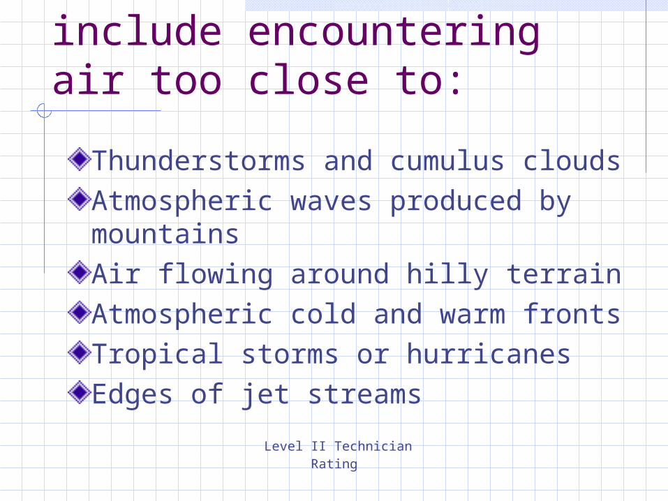
Causes of turbulence include encountering air too close to:
Thunderstorms and cumulus cloudsAtmospheric waves produced by mountainsAir flowing around hilly terrainAtmospheric cold and warm frontsTropical storms or hurricanesEdges of jet streams
Level II Technician Rating
Section 5: Icing
Objective:Discuss the effects and dangers of icing, particularly glaze and frost on an aircraft.
Level II Technician Rating
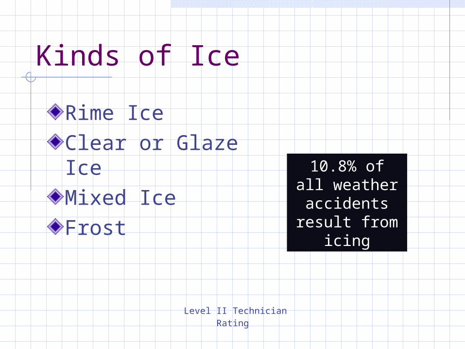
Kinds of Ice
Rime IceClear or Glaze IceMixed IceFrost
10.8% of all weather
accidents result from
icing
Level II Technician Rating
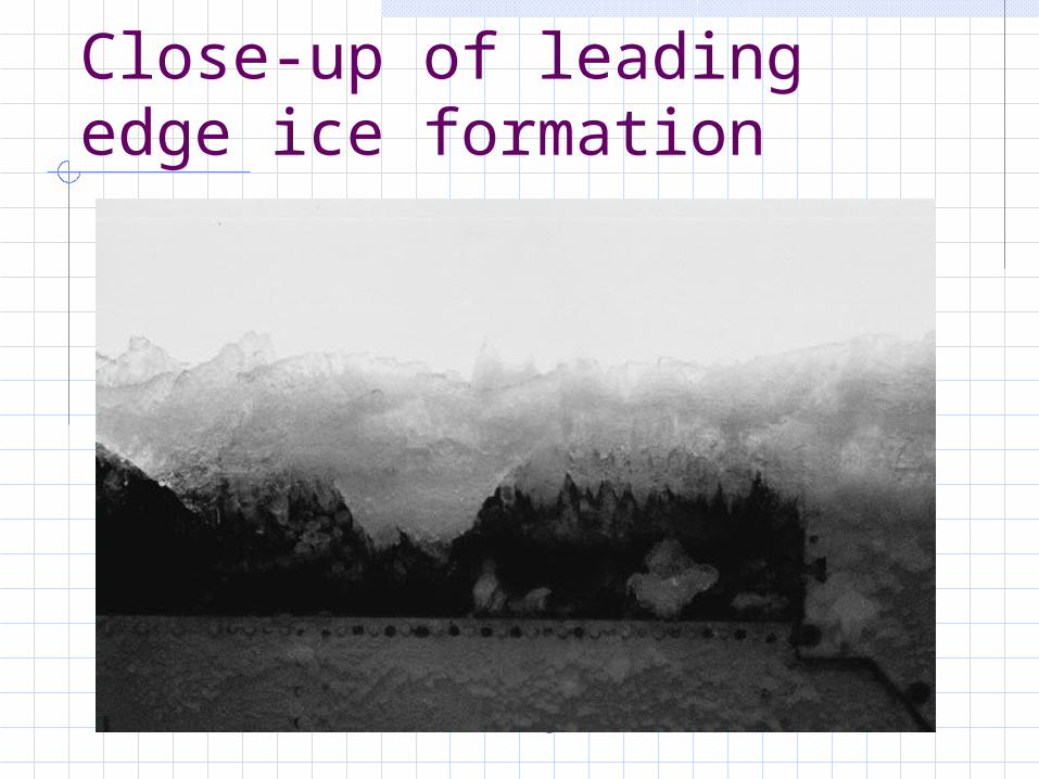
Close-up of leading edge ice formation

Level II Technician Rating
In-flight wing leading edge ice formation

Level II Technician Rating
Section 6: Severe Weather
Objective:Complete statements concerning weather threats to aircraft, particularly thunderstorms, their development, and effects.

Level II Technician Rating
Cumulus Stage
Updrafts form from heating and can reach speeds of several thousand FPM.Altitudes can exceed 40,000 Feet

Level II Technician Rating
Mature Stage
Marked by the beginning of rain on the ground.This cloud has become a cumulonimbus cloud because it has an updraft, a downdraft, and rain.

Level II Technician Rating
Dissipating Stage
After about 30 minutes, the thunderstorm begins to dissipate. This occurs when the downdrafts in the cloud begins to dominate over the updraft.Longest stage of a Thunderstorm.
Related Documents