1
Yale 2012 PIER Summer Institute Global Movement Sponsored by the Yale Programs in International Educational Resources (PIER)
Author(s): Sarah M. Stolfi
School: Washington Middle School Meriden, CT
Subject Area: Social Studies
Grade Level(s): Grade 7
Time Frame to Allow for Unit:
This is approximately a 1-week unit (Time extension for project as needed)
Introduction: Brief Description of the Unit
This unit is meant to serve an introduction to the study of World Geography. The lessons
found in this unit are designed to teach students how to think and examine the world as though they are
a Geographer. This unit introduces students to the Five Geographic Themes, which serve as a method
of for the examination Earth. The themes are introduced to students in a separate format initially, but
will be utilized throughout the school year as we examine each region/area of study.
Geographic Connections: Related to Summer Institute Themes
My unit relates to the Summer Institute drawing on how the themes of place (human
geography) and movement (human migration/immigration) help students examine an area on Earth and
enable them to ask important geographic questions like: Why do we live here? How do we (humans)
live here? What makes this place different from other places on Earth? The connections this unit will
make to the Summer Institute are broad, though I will begin by saying the community in which I teach
is diverse. Many of our residents are immigrants or migrants from the island of Puerto Rico. We also
have migrants from across the United States and many families who have an immigrant past, several
decades ago from Europe and the rest of the globe. In the Summer Institute we were lectured by
professors who discussed topics such as refugees and forced migrations, both are major concerns for
many of the residents our community. We also discussed topics like heritage and identity, which are
also important for all people. My lesson though it is geared to seventh grade audience will encompass
some of these important concepts.
Vocabulary: Terms, Concepts and Actors
Human Geography: How humans live, work and develop in a place
Physical Geography: The way the Earth’s landscape appears in specific locations, such as a river
Theme: How Geographers think about and examine Earth. The themes are used to develop questions
about the Earth
2
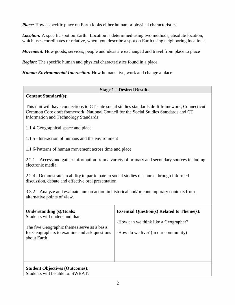
Place: How a specific place on Earth looks either human or physical characteristics
Location: A specific spot on Earth. Location is determined using two methods, absolute location,
which uses coordinates or relative, where you describe a spot on Earth using neighboring locations.
Movement: How goods, services, people and ideas are exchanged and travel from place to place
Region: The specific human and physical characteristics found in a place.
Human Environmental Interaction: How humans live, work and change a place
Stage 1 – Desired Results
Content Standard(s):
This unit will have connections to CT state social studies standards draft framework, Connecticut
Common Core draft framework, National Council for the Social Studies Standards and CT
Information and Technology Standards
1.1.4-Geographical space and place
1.1.5 –Interaction of humans and the environment
1.1.6-Patterns of human movement across time and place
2.2.1 – Access and gather information from a variety of primary and secondary sources including
electronic media
2.2.4 - Demonstrate an ability to participate in social studies discourse through informed
discussion, debate and effective oral presentation.
3.3.2 – Analyze and evaluate human action in historical and/or contemporary contexts from
alternative points of view.
Understanding (s)/Goals:
Students will understand that:
The five Geographic themes serve as a basis
for Geographers to examine and ask questions
about Earth.
Essential Question(s) Related to Theme(s):
-How can we think like a Geographer?
-How do we live? (in our community)
Student Objectives (Outcomes):
Students will be able to: SWBAT:

3
Define Geography
Locate and name the 7 continents
Retell the 5 geographic themes
Describe the tools geographers use to measure earth
Create a Prezi or a Glogster that displays the five themes in our community
Stage 2 – Assessment Evidence
Performance Task(s):
Five Themes identification activity
“photo quiz”
Development of project displaying the
five themes in our community
Other Evidence:
Classroom discussion
Homework assignment, The Five Themes and Me
Stage 3 – Learning Plan
Learning Activities:
Students will read and take notes on each of the Five Themes of Geography in class. The
student note taking sheet and power point are attached in these plans. The notes are designed to
give students an informative and practical approach to understanding how a Geographer thinks as
he or she examines Earth. Utilizing notes, students should be able to define each of the themes and
apply them to our world. See appendix A and appendix B. Students will also have a homework
activity to resonate the five themes and begin to build connections, see appendix C.
Our next student learning activity will measure student learning using a “photo quiz”.
Students will be shown a series of images and select which theme they believe the image to be.
Answers will be written out and then students will share this information in a small group or in a
pair, depending on the class size to check answers and determine accuracy. See appendix D.
For the culminating learning activity students use experiential learning and discover their
environment through the eyes of a Geographer. Student will become a “windshield geographer.”
This phrase is coined from the action of being a passenger in a car and looking out the window at
the world/community around you. Consider this project as a way for my students to introduce their
hometown to someone who has never been there, but would like to know what it’s like to live there
applying the five themes. Students will plan out an exploratory journey of our hometown from a
geographic perspective and then develop a photo Glog or a Prezi using pictures from our
community/ hometown. Students may choose to drive, walk, roll or pedal their way around our
area. See appendix E.
Learning Activities (cont.):
4
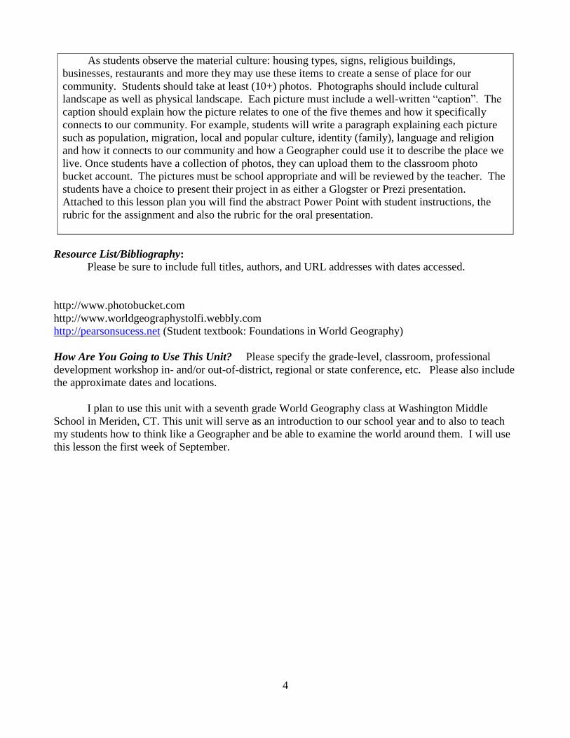
As students observe the material culture: housing types, signs, religious buildings,
businesses, restaurants and more they may use these items to create a sense of place for our
community. Students should take at least (10+) photos. Photographs should include cultural
landscape as well as physical landscape. Each picture must include a well-written “caption”. The
caption should explain how the picture relates to one of the five themes and how it specifically
connects to our community. For example, students will write a paragraph explaining each picture
such as population, migration, local and popular culture, identity (family), language and religion
and how it connects to our community and how a Geographer could use it to describe the place we
live. Once students have a collection of photos, they can upload them to the classroom photo
bucket account. The pictures must be school appropriate and will be reviewed by the teacher. The
students have a choice to present their project in as either a Glogster or Prezi presentation.
Attached to this lesson plan you will find the abstract Power Point with student instructions, the
rubric for the assignment and also the rubric for the oral presentation.
Resource List/Bibliography: Please be sure to include full titles, authors, and URL addresses with dates accessed.
http://www.photobucket.com
http://www.worldgeographystolfi.webbly.com
http://pearsonsucess.net (Student textbook: Foundations in World Geography)
How Are You Going to Use This Unit? Please specify the grade-level, classroom, professional
development workshop in- and/or out-of-district, regional or state conference, etc. Please also include
the approximate dates and locations.
I plan to use this unit with a seventh grade World Geography class at Washington Middle
School in Meriden, CT. This unit will serve as an introduction to our school year and to also to teach
my students how to think like a Geographer and be able to examine the world around them. I will use
this lesson the first week of September.

5
Teacher Notes and Activities for Student Learning (Appendix A-E)
Appendix A. Teacher notes for student instruction
The five themes of Geography
How to think like a Geographer?
“Mr. Help”
Movement
Explains how, people, goods, ideas move from place to place and change culture and the
environment.
Ex. Marco Polo introduced pasta to Europeans, it came from Asia
Ex. The Spaniards introduced horses to Latin America
Ex. In the late 1800s, thousands of Europeans immigrated (moved) to the United States
Region
Common characteristics about an area.
Ex. What makes Hartford, Connecticut different from New York City?
Ex. Make comparisons to nearest neighbors, what makes the USA different from the
Caribbean?
Human Environmental Interaction
How people, use change and work with a place.
6
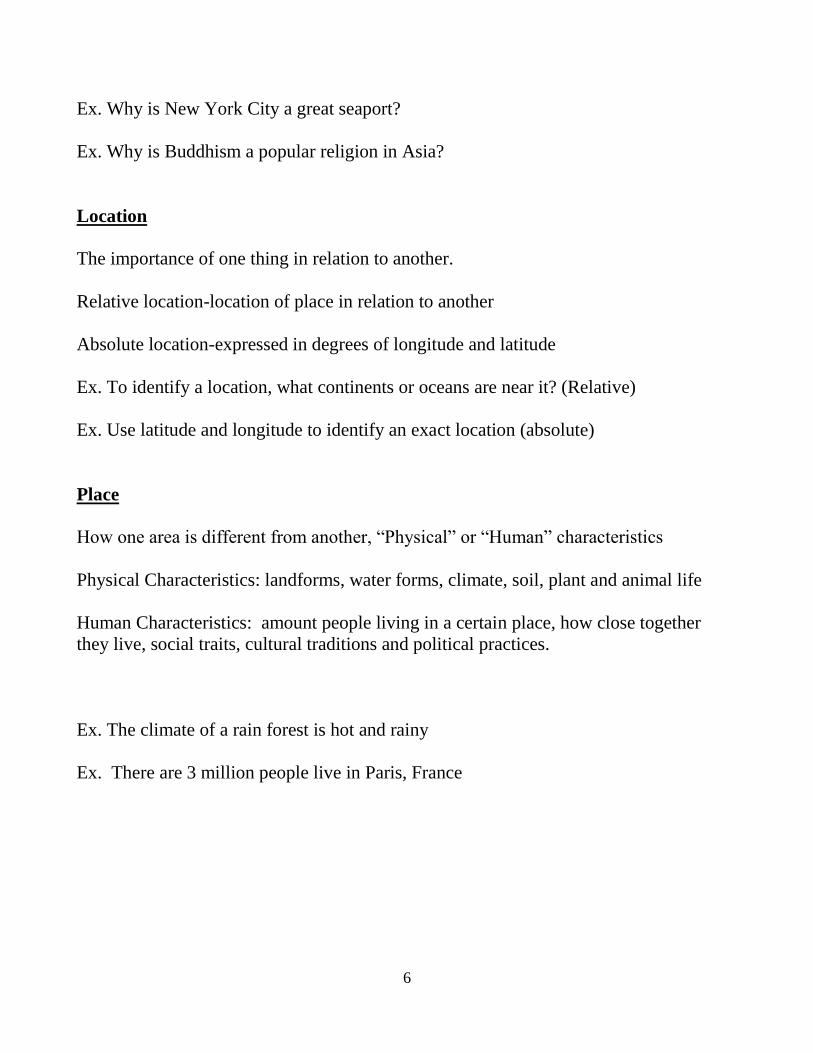
Ex. Why is New York City a great seaport?
Ex. Why is Buddhism a popular religion in Asia?
Location
The importance of one thing in relation to another.
Relative location-location of place in relation to another
Absolute location-expressed in degrees of longitude and latitude
Ex. To identify a location, what continents or oceans are near it? (Relative)
Ex. Use latitude and longitude to identify an exact location (absolute)
Place
How one area is different from another, “Physical” or “Human” characteristics
Physical Characteristics: landforms, water forms, climate, soil, plant and animal life
Human Characteristics: amount people living in a certain place, how close together
they live, social traits, cultural traditions and political practices.
Ex. The climate of a rain forest is hot and rainy
Ex. There are 3 million people live in Paris, France
7
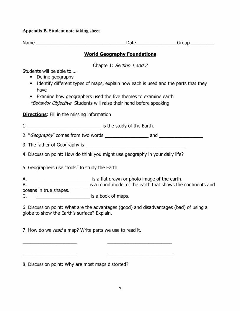
Appendix B. Student note taking sheet
Name ___________________________________Date________________Group _________
World Geography Foundations
Chapter1: Section 1 and 2
Students will be able to…. Define geography
Identify different types of maps, explain how each is used and the parts that they
have
Examine how geographers used the five themes to examine earth
*Behavior Objective: Students will raise their hand before speaking
Directions: Fill in the missing information 1._____________________________ is the study of the Earth.
2. “Geography” comes from two words _________________ and _________________
3. The father of Geography is _______________________________________
4. Discussion point: How do think you might use geography in your daily life?
5. Geographers use “tools” to study the Earth A. _____________________ is a flat drawn or photo image of the earth. B. _____________________is a round model of the earth that shows the continents and oceans in true shapes. C. _____________________ is a book of maps. 6. Discussion point: What are the advantages (good) and disadvantages (bad) of using a globe to show the Earth’s surface? Explain. 7. How do we read a map? Write parts we use to read it.
_____________________ _________________________
_____________________ __________________________ 8. Discussion point: Why are most maps distorted?
8
9. What are the most common map types?
A. ___________________________Shows the shape of the landforms like mountains or plains or water like rivers or lakes.
B. __________________________Shows the borders between countries, regions or states.
C. __________________________Shows a special purpose like natural resources, climate, road/streets or population density.
10. Mr. Help
M: _____________________________
R: _______________________________
H: _______________________________ E: _____________________________
L: _______________________________
P: ______________________________ The Five Themes 11. __________________________________ describes how people in one place make contact with people from another place.
12. Name the three types of movement
A. ___________________________________ B.___________________________________
C. ___________________________________
13. ________________________________ An area with certain characteristics that make it different from surrounding areas.
14. Name the two examples of region
A. __________________________ B.___________________________
15. ________________________________How people use, change and work with a place.
16. __________________________________ the importance of one area to another
17. Define the two types of location
9
A. ___________________________________The exact spot, expressed in degrees of
latitude and longitude
B. ____________________________________The location of place in relation to another
18. ________________________one particular, unique location.
19. Define the two types of place
A. _________________________________ a place or event created by humans.
B. _________________________________ a land area that has a special shape, climate,
plant or animal life.
10
Appendix C. Student Five Themes homework
Name_____________________________________Date_____________________Section__________
Directions: Answer the follow questions and write your answers in complete sentences.
1. The theme of movement explains how people, goods and ideas move from place
to place.
How do people, goods, and ideas get transported in Connecticut (2 examples)
2. The theme of region describes common traits of an area.
Name another city/town you have visited other than Meriden. Tell how this place
is alike and different from Meriden.
How are they alike?
How are they different?
3. The theme of Human Environment Interaction is the relationship between
people and nature. Ex. People build bridges to go over water. Ex People wear
sunscreen.
Describe one way you have affected nature
11
Describe one way nature has affected you
4. The theme of Location is measured two ways. The absolute location Meriden is
41°N by 70° W. Relative location is finding where a place is by describing its
spot using landmarks.
Use landmarks and street names to describe the relative location of your
neighborhood in Meriden
5. The theme of Place is a particular spot on Earth that is created by man or is
natural
Describe what your house looks like inside and out
List all of the humans/pets that live with you
12
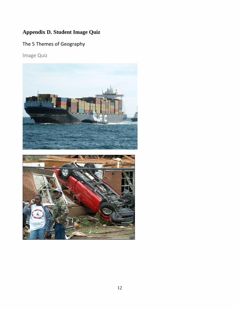
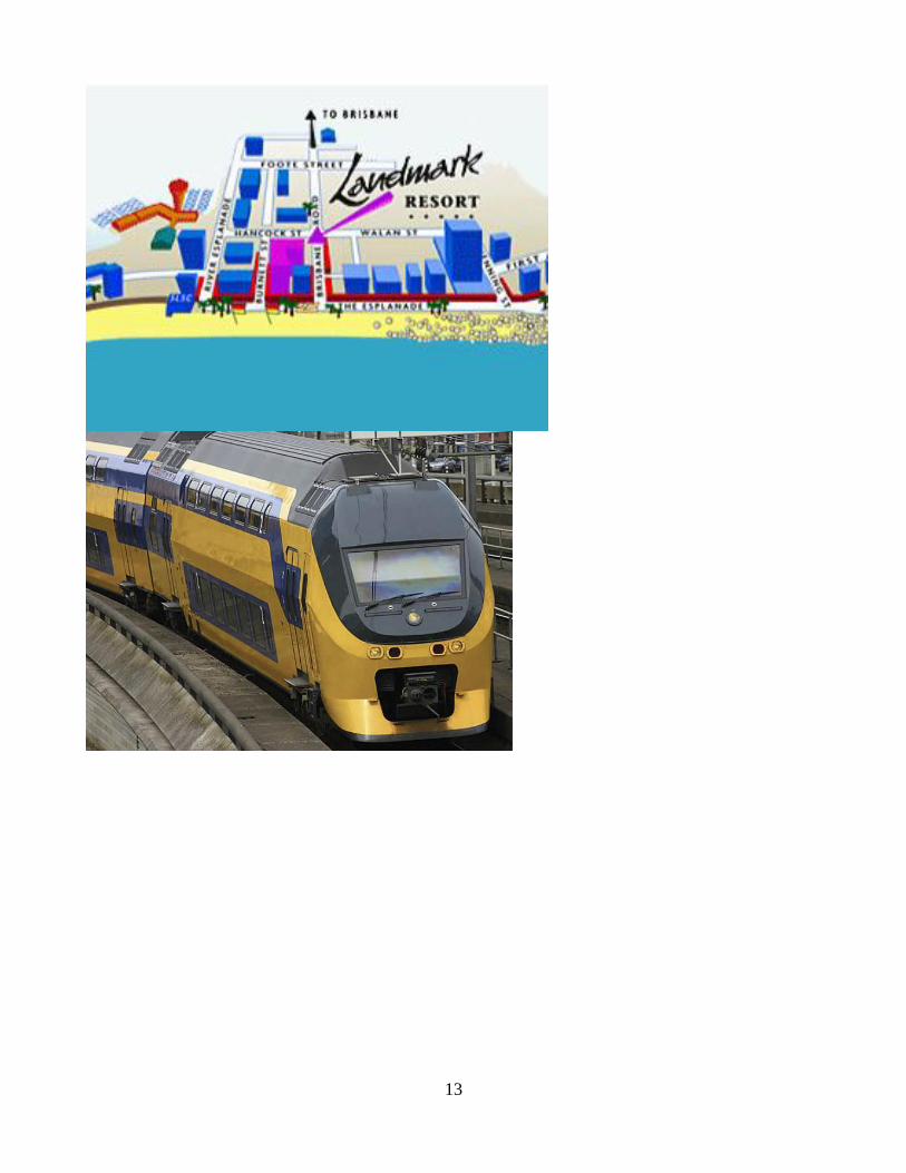
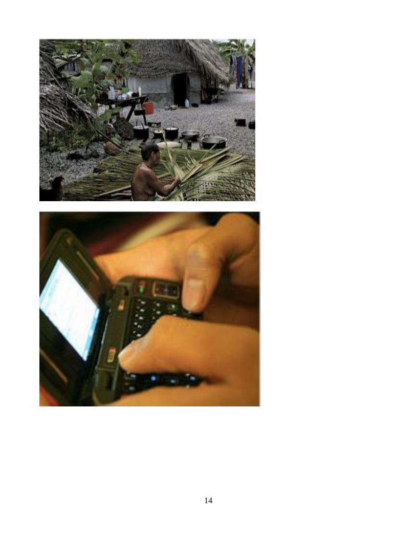
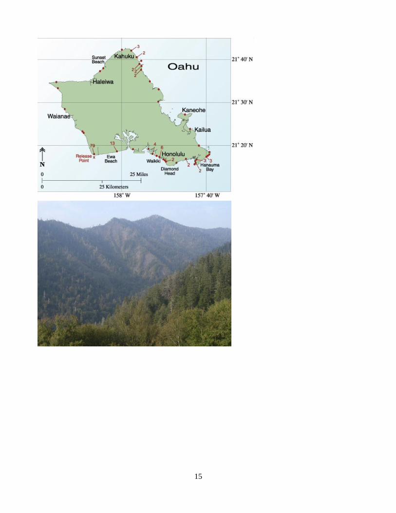
Appendix D. Student Image Quiz
The 5 Themes of Geography
Image Quiz
13
14
15

16
The END!!!! • Now Lets see how you did....
1. Movement (goods) 2. E-H interaction 3. Relative location 4. Movement (people) 5.Place -specific culture to that location 6. Movement (ideas) 7. Absolute location 8. H-E interaction
9. Region (physical) 10. Region (cultural)
17
Appendix E.
How to be windshield Geographer
Discovering Earth’s Cultural Landscape
Photograph your hometown
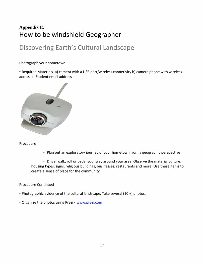
• Required Materialsa) camera with a USB port/wireless connetivity b) camera phone with wireless accessc) Student email address
Procedure
• Plan out an exploratory journey of your hometown from a geographic perspective
• Drive, walk, roll or pedal your way around your area. Observe the material culture: housing types, signs, religious buildings, businesses, restaurants and more. Use these items to create a sense of place for the community.
Procedure Continued
• Photographic evidence of the cultural landscape. Take several (10 +) photos.
• Organize the photos using Prezi • www.prezi.com

18
Connections
• Consider this project as a way for you to introduce your hometown to someone who has never been there, but would like to know what its like to live there.
• Photographs should connect to the “Five Geographic Themes”
• Loca3on, place, movement, region and human environmental interac3on
Five Themes: Location/Place• Location: What might be the relative location
of this landscape?
• Place: What are the physical features of this landscape? What makes this place unique?
19
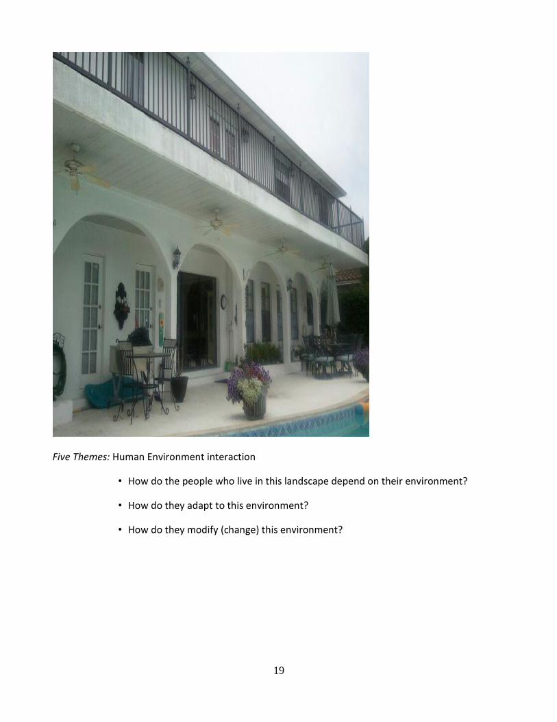
Five Themes: Human Environment interaction
• How do the people who live in this landscape depend on their environment?
• How do they adapt to this environment?
• How do they modify (change) this environment?
20
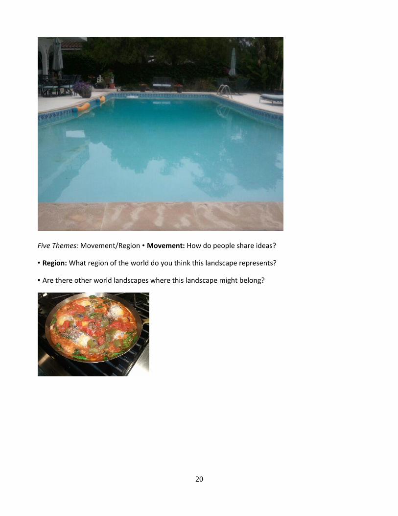
Five Themes: Movement/Region • Movement: How do people share ideas?
• Region: What region of the world do you think this landscape represents?
• Are there other world landscapes where this landscape might belong?
21
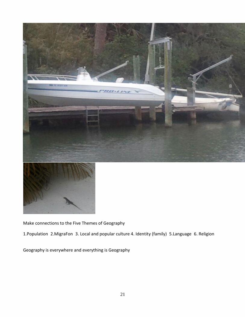
Make connections to the Five Themes of Geography
1.Population2.MigraFon3. Local and popular culture 4. Identity (family)5.Language6. Religion
Geography is everywhere and everything is Geography
22
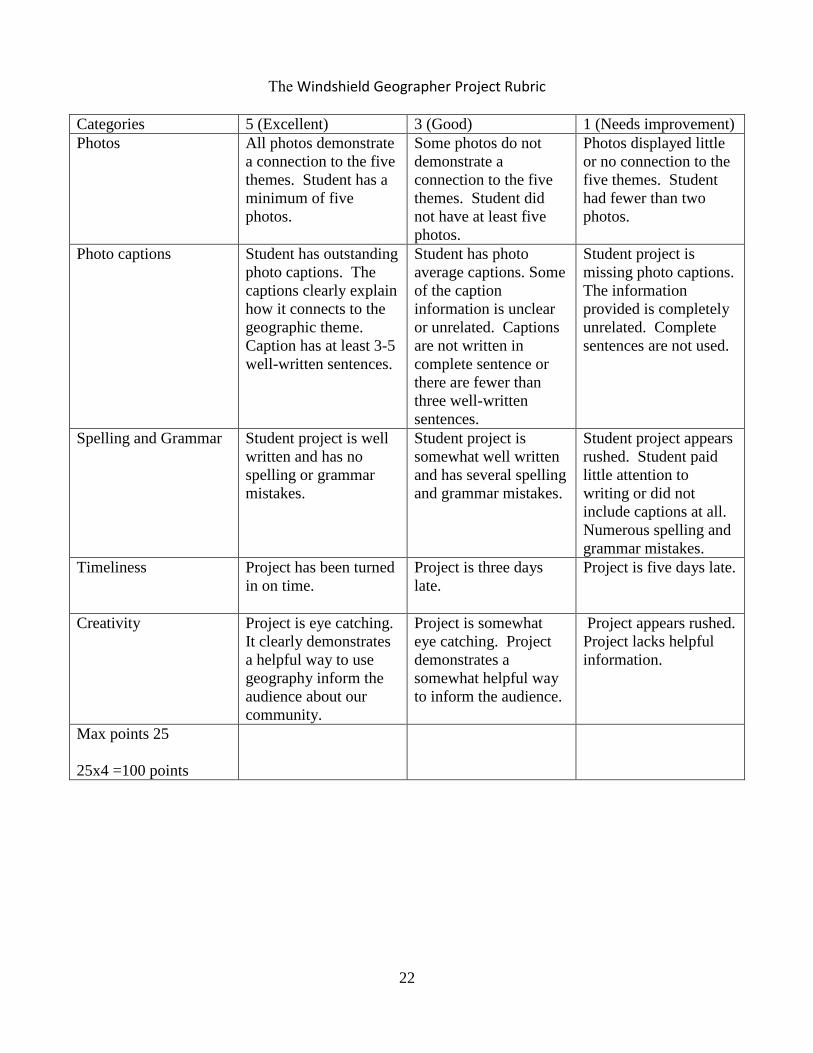
The Windshield Geographer Project Rubric
Categories 5 (Excellent) 3 (Good) 1 (Needs improvement)
Photos All photos demonstrate
a connection to the five
themes. Student has a
minimum of five
photos.
Some photos do not
demonstrate a
connection to the five
themes. Student did
not have at least five
photos.
Photos displayed little
or no connection to the
five themes. Student
had fewer than two
photos.
Photo captions Student has outstanding
photo captions. The
captions clearly explain
how it connects to the
geographic theme.
Caption has at least 3-5
well-written sentences.
Student has photo
average captions. Some
of the caption
information is unclear
or unrelated. Captions
are not written in
complete sentence or
there are fewer than
three well-written
sentences.
Student project is
missing photo captions.
The information
provided is completely
unrelated. Complete
sentences are not used.
Spelling and Grammar Student project is well
written and has no
spelling or grammar
mistakes.
Student project is
somewhat well written
and has several spelling
and grammar mistakes.
Student project appears
rushed. Student paid
little attention to
writing or did not
include captions at all.
Numerous spelling and
grammar mistakes.
Timeliness Project has been turned
in on time.
Project is three days
late.
Project is five days late.
Creativity Project is eye catching.
It clearly demonstrates
a helpful way to use
geography inform the
audience about our
community.
Project is somewhat
eye catching. Project
demonstrates a
somewhat helpful way
to inform the audience.
Project appears rushed.
Project lacks helpful
information.
Max points 25
25x4 =100 points