1
INTRODUCTIONINTRODUCTION
CrimeStatCrimeStat is a spatial statistics program is a spatial statistics program for the analysis of crime incident locationsfor the analysis of crime incident locationsNot a GISNot a GISWindowsWindows--basedbasedProgram inputs Program inputs geocodedgeocoded incident incident locations in .dbf, .locations in .dbf, .shpshp, ASCII, or ODBC, ASCII, or ODBC--compliant formatscompliant formats

2
INTRODUCTIONINTRODUCTION
Uses either spherical or projected Uses either spherical or projected coordinatescoordinatesCalculates various spatial statistics, andCalculates various spatial statistics, andExports the results into formats, such as Exports the results into formats, such as shapefilesshapefiles, that , that ArcGISArcGIS, MapInfo, and , MapInfo, and other GIS can read.other GIS can read.

3
INTRODUCTIONINTRODUCTION
Organized into five sectionsOrganized into five sections–– Data SetupData Setup
–– Spatial DescriptionSpatial Description–– Spatial ModelingSpatial Modeling–– Crime Travel Demand ModelingCrime Travel Demand Modeling–– OptionsOptions

4

5

6
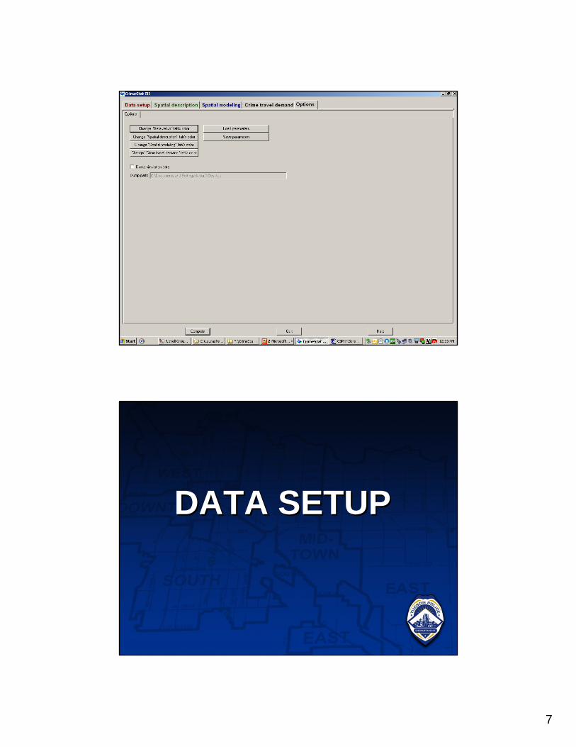
7
DATA SETUPDATA SETUP

8

9

10
SPATIAL DESCRIPTIONSPATIAL DESCRIPTION
SPATIAL SPATIAL DISTRIBUTIONDISTRIBUTION

11

12
SPATIAL DESCRIPTIONSPATIAL DESCRIPTION
DISTANCE DISTANCE ANALYSIS IANALYSIS I

13

14

15
SPATIAL DESCRIPTIONSPATIAL DESCRIPTION
HOT SPOT HOT SPOT ANALYSIS IANALYSIS I

16

17

18
SPATIAL DESCRIPTIONSPATIAL DESCRIPTION
HOT SPOT HOT SPOT ANALYSIS IIANALYSIS II

19

20
SPATIAL MODELINGSPATIAL MODELING
INTERPOLATIONINTERPOLATION

21

22

23

24

25

26
SPATIAL MODELINGSPATIAL MODELING
SPACESPACE--TIME TIME ANALYSISANALYSIS

27

28

29

30

31
CLOSINGCLOSINGCLOSING
andand
AA