New Mexico Habitat Stamp Program Project Proposal Worksheet
(Updated January 2018)
Project Title:
Habitat Stamp Region:
Habitat Stamp Number:
Project Leader:
Agency:
Contact Phone #: E-mail:
Project Description: (purpose and need, scope of work, how the project will be implemented, etc.)
Land Management Status of the Project Area:
Game Management Unit:
Emphasis Wildlife Species:
Secondary Species:
Is the Project Within a Habitat Stamp Program Landscape or other Landscape Management Plan?
Yes No
If "Yes", please state the name of the Landscape:
New Mexico Terrestrial / Aquatic Habitat Type:
Project Location : (please submit project location map[s] separately)
Provide a description of the project location and general habitat characteristics.
Project Location Coordinates :
Select one: UTM (Zone 12 or 13) Latitude / Longitude
Grazing Permittee/Allotment:
Describe the Availability of Public Access (or Any Related Issues) in and Around the Project Area:
Habitat Stamp Fund Request:
Agency Cost Share:
Other Cost Share:
Itemized Use of Funds: (provide a description of what each of the fund sources will be used for or the proposed budget break down for each source)
Is NEPA Complete? Yes No
If not, when is a decision authorizing the activity expected?
Have Other Environmental Compliance Requirements Been Completed (archaeological surveys, Section 7 consultations, etc)?
Yes No
List Other Project Partners and Expected Participation Activity(s):
Please Provide Any Additional Information You Would Like Regarding Your Project:
Project Completion Report and Associated Geospatial Data Will Be Submitted By:
PLEASE SUBMIT ALL HABITAT STAMP PROPOSAL FORMS AND MAPS TO: [email protected]
-Thank You for your Participation in the Habitat Stamp Program-
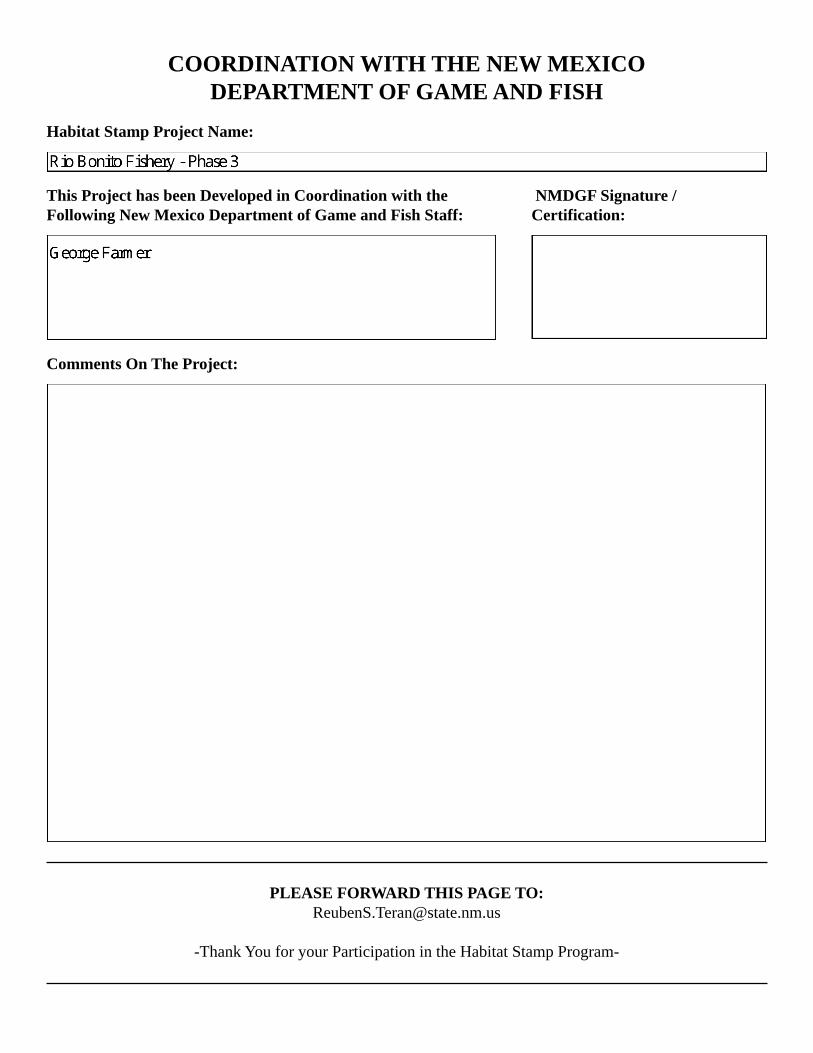
COORDINATION WITH THE NEW MEXICO DEPARTMENT OF GAME AND FISH
Habitat Stamp Project Name:
This Project has been Developed in Coordination with the Following New Mexico Department of Game and Fish Staff:
NMDGF Signature /Certification:
Comments On The Project:
PLEASE FORWARD THIS PAGE TO: [email protected]
-Thank You for your Participation in the Habitat Stamp Program-
GF
GF
GF
GF
GFGFGFGFGFGF
GFGF
GF
GF
GF
GF
GF
GF
GFGF
GF
GF
GF
GFGFGFGF
GFGFGF
GF
GF
GF
GF
GF
GF
GFGF
GF
GF
GF
GF
GF
GF
GF
GF
GF
GFGFGFGF
GFGF
GF
GFGFGF
GF
GF
GF
GF
GFGFGF
GF
GF
GF
GF
GF
GFGFGF
GF
GF
GF
GF
GFGF
GF
GF
GF
}} }} }} }} }}
}}
}}
}}
}}
}}
}}
}}
}}
}}
}}
}}
}}
}}
}}
}}
}}
}}
}}
}}
}}
}}
}}
}}
}}
}}
}}
}}
}}
}}
}}
}}
}}
}}
}}
}}
}}
}}
}}
}}
}}
}}
}}
}}
}}}}
}}
}}
}}
}}
}}
}}
}}
}}
}}}}
}}
}} }} }}
}}
}}
}}}}
}}
}}
}}
}}
}}
}}
}}
}}
}}
}}}} }}
}}
}}}}
}}
}}
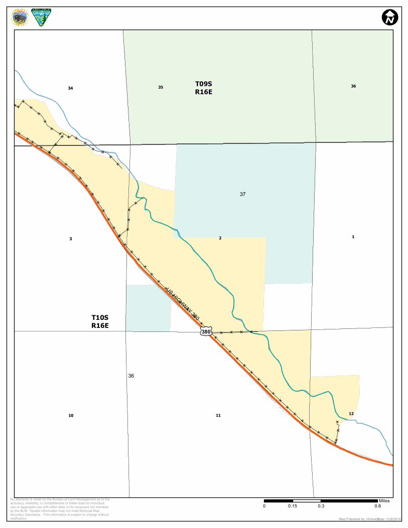
37
36
US HIGHWAY 380
£¤380
T10SR16E
T09SR16E
23
11
1
35
10 12
34 36
I
0 0.3 0.60.15MilesNo Warranty is made by the Bureau of Land Management as to the
accuracy, reliability, or completeness of these data for individualuse or aggregate use with other data, or for purposes not intendedby the BLM. Spatial information may not meet National MapAccuracy Standards. This information is subject to change withoutnotification. Date: 1/28/2016Map Prepared by: rlhoward