Floyd CountyPublic Meeting
Amendment to the CountyComprehensive Plan and Zoning
Ordinance for New Albany Township Area

• What this is not?– This is not about annexation – This is not about connecting to sanitary sewers– This is not about an specific projects

• County Commissioners and County Plan Commission have started efforts to re-establish jurisdiction in area known as the City of New Albany Two Mile Fringe
• County is working under the auspices of Indiana Code 36-7-4-206

• Today – meetings split
– Requesting feedback from community in development of plan components
– Explain changes for residents in terms of zoning and process
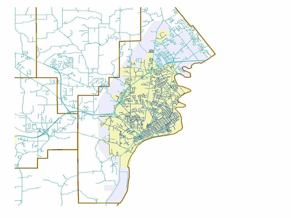
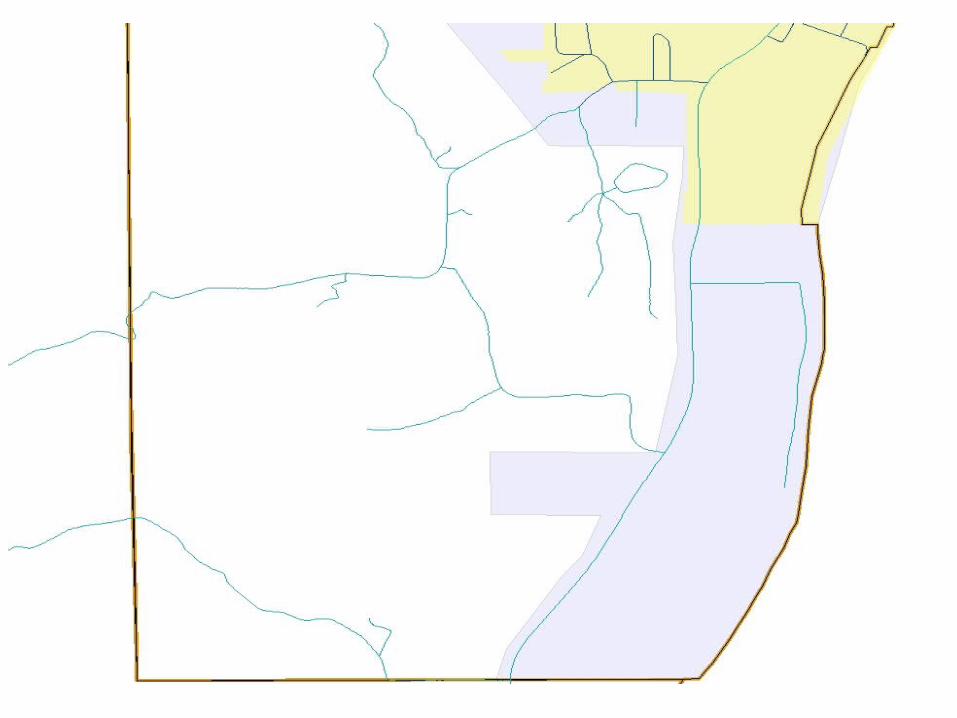
• Approximately 6,000 acres of land under City control in terms of planning and zoning
• Three distinct sub-areas– SR 111 South– Foot of Knobs – Charlestown-Grant Line Road

• SR 111 South Area– Predominately low impact residential
development due to environmental sensitive areas of flood plains and steep slopes
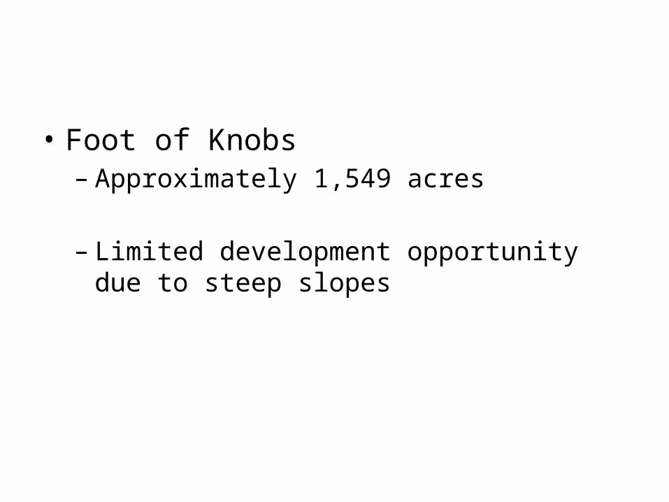
• Foot of Knobs – Approximately 1,549 acres
– Limited development opportunity due to steep slopes

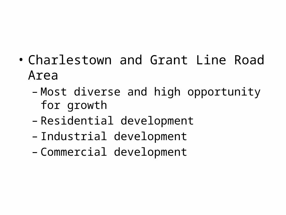
• Charlestown and Grant Line Road Area– Most diverse and high opportunity for growth– Residential development – Industrial development– Commercial development

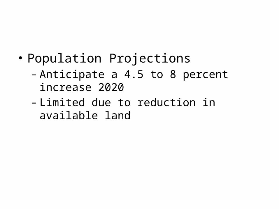
• Population Projections– Anticipate a 4.5 to 8 percent increase 2020– Limited due to reduction in available land
• Recreational and Park Land– Area is least served areas with high population
base
– Only park in fringe area is Herman Collier Park located off Wabash Avenue
– Need for additional park land and trails is evident and should be chief concern

• Zoning Process– Previous approved projects with City of New
Albany will remain valid as per requirements set forth in State law.
– Pre-existing lots not meeting new County standards will be considered legal-non-conforming status as long as deed is dated prior to final approval by County Commissioners

• Zoning Process– County Plan Commission Office would be point of
contact for all variances, conditional uses, special exceptions and other administrative acts for Board of Zoning Appeals
– County Plan Commission Office would be point of contact for all subdivision, development review, zoning and Planned Unit Development acts for Plan Commission

• County Plan Commission Office is located in new Pine View Government Center on Corydon Pike
• Any new development would require approval from the County agency
• Changes in zoning would go in front of the County Commissioners

• Current Zoning map from City

• Proposed zoning map changes –– SR 111 property to be classified as AR
– Foot of Knobs property to be classified as RS – if not connected to sewers would following zoning for ¾ acre lot with two lateral fields
– Charlestown Road and Grant Line Road areas for potential development will be based zoned as RS
– Areas zoned commercial or industrial will be zoned accordingly to County zoning – GC or GI