Fifth expert meeting of IAEG-SDG:WGGI

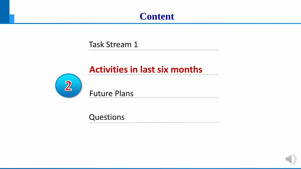
Content
Task Stream 1
Activities in last six months
Questions
Future Plans

Task Stream 1 Being Established
Mandate: Provide expertise and advice to IAEG-SDGs and the larger statistical/
geospatial community as to how geographical disaggregation and aggregation can reliably
and consistently contribute to SDG indicators measuring, analysis and monitoring
In April 2018, IAEG-SDGs: WGGI decided to establish a Task Stream on geospatial disaggregation and aggregation:
Working period: 2018-2019
Co-leads: Macarena Perez Garcia (Chile)
Jun Chen (China)

Geospatial Disaggregation and Aggregation
SDG indicators should be disaggregated, where relevant, by income, sex, age, race, ethnicity,
migratory status, disability and geographic location, or other characteristics, in accordance
with the Fundamental Principles of Official Statistics [from the preambular of the GIF]
United Nation GA adopted the Global Indicator Framework (GIF) for the 2030 SDGs in its resolution A/RES/71/313 On 6th July 2017,
Previous disaggregation and aggregation works were focused mainly on people-centric variables (such as gender, age, income, education, race, ethnicity, and disability)
A geographic location perspective needs to be taken into consideration
Content
Task Stream 1
Activities in last six months
Questions
Future Plans

Major Activities in Last Six Months
2.1 Prepared a work plan
2.2 Conducted a case study in Deqing County
2.3 Organized a special session during UN-WGIC

2.1 Prepared a work plan
Defined the scope of Task
Aiming to identify and develop good practices, and document
methodologies on geospatial disaggregation and aggregation for
supporting SDGs.
(1) Develop a booklet on good practices by identifying exemplars
(2) Prepare a technical guideline by documenting methodologies

(1) Develop a Booket of Good Practises
Present 10-15 good practices or exemplars on geospatial disaggregation and
aggregation from different regions from the world
Should come basically from or recommended
by IAEG-SDGs: WGGI members
How data can be disaggregated/ aggregated geospatially
and used for deriving indicators

Actions to be completed
Identify and collect good practices
- desirable to have a diverse set of examples from different regions and circumstances so that it has the greatest
breadth of impact to various Member States.
Analyze and evaluate the proposed/ recommended good practices
Edit and re-format the selected good practices
.Prof Zhilin Li ( Hon Kong Poly Univ.) and Prof Zhao Xuesheng (China Mining Univ.) agreed to assist the coordination

(2) Prepare a Technical Guideline
Summarizing available mainstream methodologies and tools which can be used
for geospatial disaggregation and aggregation
Concepts and methodologies for implementing disaggregation and
aggregation by geographic location
Typical applications in supporting SDGs measuring and monitoring.
Target readers include the both statistical and geospatial professionals.
A close collaboration with the UN-GGIM Expert Group on Integration of Statistical and
Geospatial Information

Draft Content of the Technical Guideline
1 Introduction1.1 Needs of Data Disaggregation and Aggregation for SDG
1.2 Multiplicity and Diversity of Data for SDG
5 tools/resources 5.1 Software tools5.2 Available resources
4. Aggregation for SDG4.1 Classification/Clustering4.2 Interpolation/Resampling4.3 Simplification/Typification4.4 Smoothing/Filtering
3 Disaggregation for SDG3.1 Interpolation with Area/Distance Weighting3.2 Dasymetric Disaggregation
3.3 Stochastic Allocation
2 Data preprocessing2.1 Unification of Space-Time Reference Framework2.2 Geocoding of Statistical data
2.3 Normalization of Statistical data
6 Examples and Recommendations 6.1 Selected examples6.2 Recommendations
References

Actions to be taken
Identify experts who are interested and able to contribution
Invite contributors for each chapter or sub-chapter
Review and edit the manuscript
.Prof Sonnian Li (Canada Rayson Univ. ) & Dr Hu Yungang (Beijing Civil Eng. Univ. ) agreed to assist the coordination

Comments and Feedbacks Received
This draft work plan was circulated to IAEG-SDGs:WGGI for comments
A face-to-face discussion held during the UN-GGIM 8th session in Aug
Presented at the special session ‘Geospatial disaggregation and
aggregation in support of SGDs’ during UN-WGIC on Nov. 20, this year
Reported to IAEG-SDGs: WGGI twice (July 27th and Oct 4th)

2.2 A Case Study in Deqing County
Populations data needs to be disaggregated into geographical space with the help of ancillary geospatial data for in-depth SDG indicator measurement
镇名Town names
人口population
武康街道 89944
阜溪街道 26008
下渚湖街道 23999
舞阳街道 52180
洛舍镇 20553
钟管镇 43856
莫干山镇 31643
乾元镇 49644
雷甸镇 37592
新安镇 31730
新市镇 72395
禹越镇 33297
Administrative unit-based Population data
Spatial variation details are smoothed out

2.2 A Case Study in Deqing County
Populations data needs to be disaggregated into geographical space with the help of ancillary geospatial data for in-depth SDG indicator measurement
镇名Town names
人口population
武康街道 89944
阜溪街道 26008
下渚湖街道 23999
舞阳街道 52180
洛舍镇 20553
钟管镇 43856
莫干山镇 31643
乾元镇 49644
雷甸镇 37592
新安镇 31730
新市镇 72395
禹越镇 33297 Establish relationship with the population density

2.2 A Case Study in Deqing County
Populations data needs to be disaggregated into geographical space with the help of ancillary geospatial data for in-depth SDG indicator measurement
镇名Town names
人口population
武康街道 89944
阜溪街道 26008
下渚湖街道 23999
舞阳街道 52180
洛舍镇 20553
钟管镇 43856
莫干山镇 31643
乾元镇 49644
雷甸镇 37592
新安镇 31730
新市镇 72395
禹越镇 33297
Population density at 30-m spatial resolution
Providing more spatial details

2.2 A Case Study in Deqing County
Populations data needs to be disaggregated into geographical space with the help of ancillary geospatial data for in-depth SDG indicator measurement
镇名Town names
人口population
武康街道 89944
阜溪街道 26008
下渚湖街道 23999
舞阳街道 52180
洛舍镇 20553
钟管镇 43856
莫干山镇 31643
乾元镇 49644
雷甸镇 37592
新安镇 31730
新市镇 72395
禹越镇 33297
30-m Population density with topographic information
Enabling integrated geospatial and statistical analysis

Deriving SDGs Indicators
Indicator 3.8.1- coverage of the basic health services;
Indicator 4.a.1- allocation of educational resources;
Indicator 9.1.1- urban traffic
a. The proportion of rural population living within 2 km of the whole
season highway;
b. Traffic accessibility;
c. X hour life circle
Three indicators were derived using the disaggregated data

Layout of medical and health facilities in Deqing County
Indictor 3.8.1
SDGs— indictor3.8.1 Coverage of basic health services
Deqing County has: general hospitals- 3
township hospitals -19
Health service stations -134

Accessibility of general hospitals

Accessibility of general hospitals
0-5 5-10 10-15 15-20 20-25 25-30 30-35 35-40 40-45 45-50 >50
distribution frequency (%) 27.391 11.993 9.862 15.451 19.213 11.481 3.324 0.706 0.465 0.107 0.006
cumulative frequency (%) 27.391 39.384 49.247 64.698 83.910 95.391 98.715 99.421 99.887 99.994 100.000
0
20
40
60
80
100
120
0
5
10
15
20
25
30
time (min)
Distribution frequency and cumulative frequency of service population of
general hospitals

Accessibility of Township Hospitals

Accessibility of Township Hospitals
0-5 5-10 10-15 15-20 20-25 25-30 >30
distribution frequency (%) 53.277 39.164 6.670 0.812 0.077 0.002 0.000
cumulative frequency (%) 53.277 92.441 99.110 99.922 99.998 100.000 100.000
0
20
40
60
80
100
120
0
10
20
30
40
50
60
time(min)
Distribution frequency and cumulative frequency of service population of township
hospitals

Accessibility of Health Service Stations

Accessibility of Health Service Stations
0 - 5 5 - 10 10 - 15 15 - 20 20 - 25 > 25
distribution frequency (%) 92.689 7.146 0.165 0 0 0
cumulative frequency (%) 92.689 99.835 100 100 100 100
88
90
92
94
96
98
100
102
0
10
20
30
40
50
60
70
80
90
100
time(min)
Distribution frequency and cumulative frequency of service population in
health service station

2.3 Organzied a Special Session in UN_WGIC
Parallel Session : Measuring and Monitoring the SDGs"GEOSPATIAL DISAGGREGATION AND AGGREGATION FOR THE SDGS"
Tuesday, 20 November 201814:00 – 15:30
E303, Exhibition Center
Moderator: Prof Zhilin Li Hong Kong Polytechnic University
Presenters/Panellists:
1. Prof. Jun Chen, National Geomatics Center of China
2. Dr. Donna Clarke, University of Southampton
2. Prof Zhilin LI, Hong Kong Polytechnic University
3. Prof. ZHAO Xuesheng, China University of Ming and Technology (Beijing)

Content
Task Stream 1
Activities in last six months
Questions?
Future Plan

Time Schedule
2018 Dec: Send out call for good practices/ exemplars, start
preparations for a booklet
2019 April: Organize a Tele-mtg to discuss the conceptual
framework, select the good practices, and prepare the draft technical
guideline
2019 Aug: Organize a workshop in Chile or China, discuss the Booklet
and the technical guideline
2019 Nov: Summaries and prepare a report to IAEG-SDGs

Content
Task Stream 1
Activities in last six months
Questions?
Future Plan

How to get the planned work done?
It depends critically on whether we have an active task force and keep going.
Names Society Affiliation and Correspondence
1 Zhilin Li ISPRS Professor, Hong Kong Polytechnic University2 Sisi Zlatanova ISPRS Professor, Melbourne University3 Songnian LI ISPRS Professor, Rayson University4 Monica Sester ICA Professor, Hannover University, Germany5 Yifang Ban ICA Professor, KTH, Sweedn
6 Liqiu Meng ICA Prof. Munich Tech. Uni., Germany7 Andrew J Tatem IGU Professor, Uni. of Southampton, UK8 Giles Foody IGU Professor, University of Nottingham9 Martin Brady Australian Bureau of Statistics, Canberra, Australia
10 Xuesheng Zhao Prof. China University of Mining & Technology, Beijing11 Yungang Hu Associate professor, Beijing University of Civil Engineering and Architecture
….. …
Invited international experts
Major players--- members of IAEG-SDGs: WGGI

Questions
Question 1:How could an active task force be formed for Task Stream I?
Question 3:How should the call for good practices be sent out?
Question 4:How should we invite the invited international experts, through their affiliated international society (such ISPRS, ICA,…)?
Question 6:What other resources should we mobilize to get the work done ?
Question 5:How should the drafted booklet and technical guideline be reviewed ?
Question 2:What would you contribute to the booklet and the technical guidelines?

Fifth expert meeting of IAEG-SDG:WGGI