Tips for Manipulating Data in Esri Geodatabase using FME Mita Hajirakar FME Desktop Support Manager Mark Stoakes Manager, Professional Services

Tips for Manipulating Data in Esri Geodatabase using FME
Jan 15, 2015
Discover how to save time reading, writing and updating data in Esri Geodatabase. You’ll see how to easily load disparate datasets into either Enterprise, File, or Personal Geodatabase; plus how to quickly update and extract data according to your specifications. You’ll also receive tips for efficiently working with domains, subtypes, and annotation – to ensure high quality data.
Welcome message from author
This document is posted to help you gain knowledge. Please leave a comment to let me know what you think about it! Share it to your friends and learn new things together.
Transcript
Tips for Manipulating Data in Esri Geodatabase using FME
Mita HajirakarFME Desktop Support Manager
Mark StoakesManager, Professional Services

Safe Software Inc.
95+ exuberant employees
Secret HQ: Vancouver, B.C.
Thousands of happy customers, certified professionals, trainers, system integrators, and value added resellers; all around the globe!
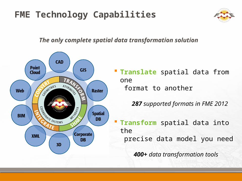
FME Technology Capabilities
Translate spatial data from one format to another
287 supported formats in FME 2012
Transform spatial data into the precise data model you need
400+ data transformation tools
The only complete spatial data transformation solution
Poll Questions: About you!
FME use
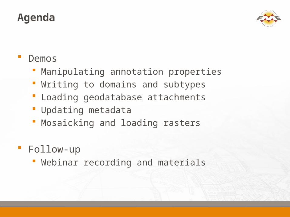
Agenda
Demos Manipulating annotation properties Writing to domains and subtypes Loading geodatabase attachments Updating metadata Mosaicking and loading rasters
Follow-up Webinar recording and materials
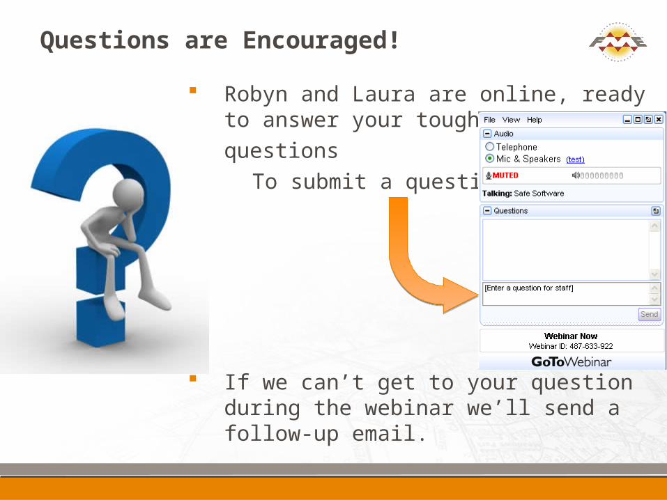
Questions are Encouraged!
Robyn and Laura are online, ready to answer your toughest
questions To submit a question:
If we can’t get to your question during the webinar we’ll send a follow-up email.
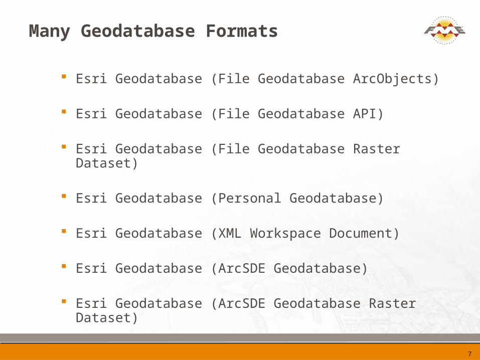
Many Geodatabase Formats
Esri Geodatabase (File Geodatabase ArcObjects)
Esri Geodatabase (File Geodatabase API)
Esri Geodatabase (File Geodatabase Raster Dataset)
Esri Geodatabase (Personal Geodatabase)
Esri Geodatabase (XML Workspace Document)
Esri Geodatabase (ArcSDE Geodatabase)
Esri Geodatabase (ArcSDE Geodatabase Raster Dataset)
7

Versions & Editions
FME Esri Edition License
FME 2012 SP3 ArcGIS 10.1 ArcSDE 10.1

Poll Questions: About you!
ArcGIS use
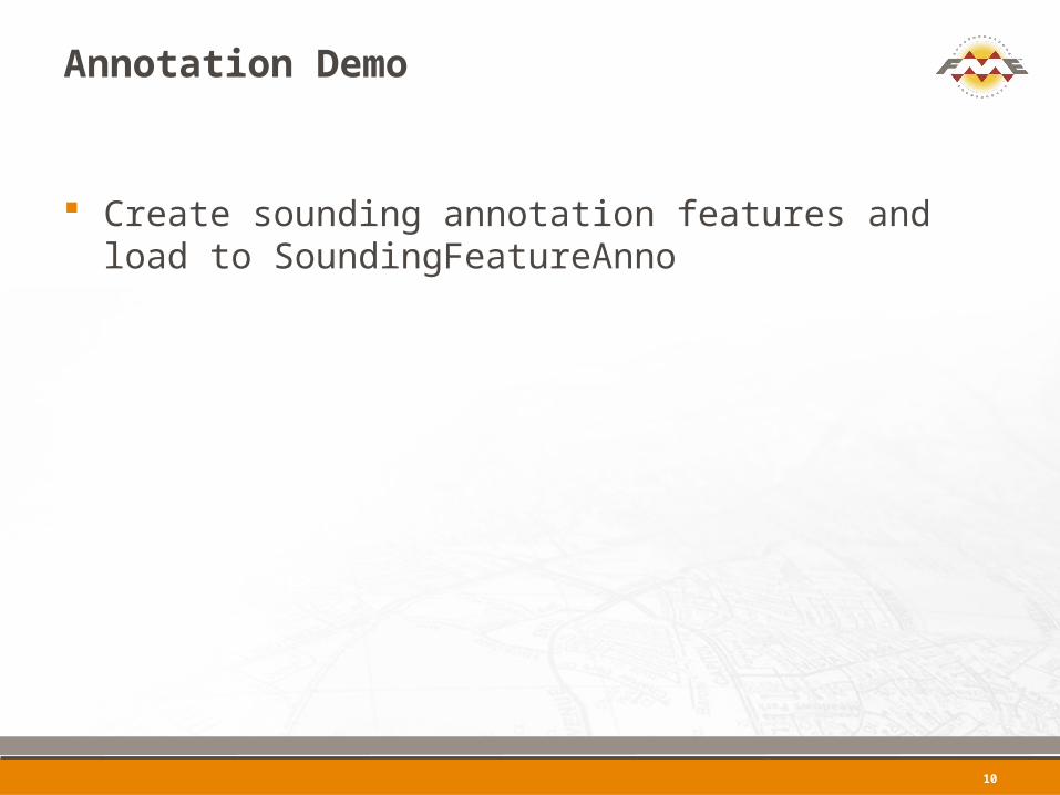
Annotation Demo
Create sounding annotation features and load to SoundingFeatureAnno
10
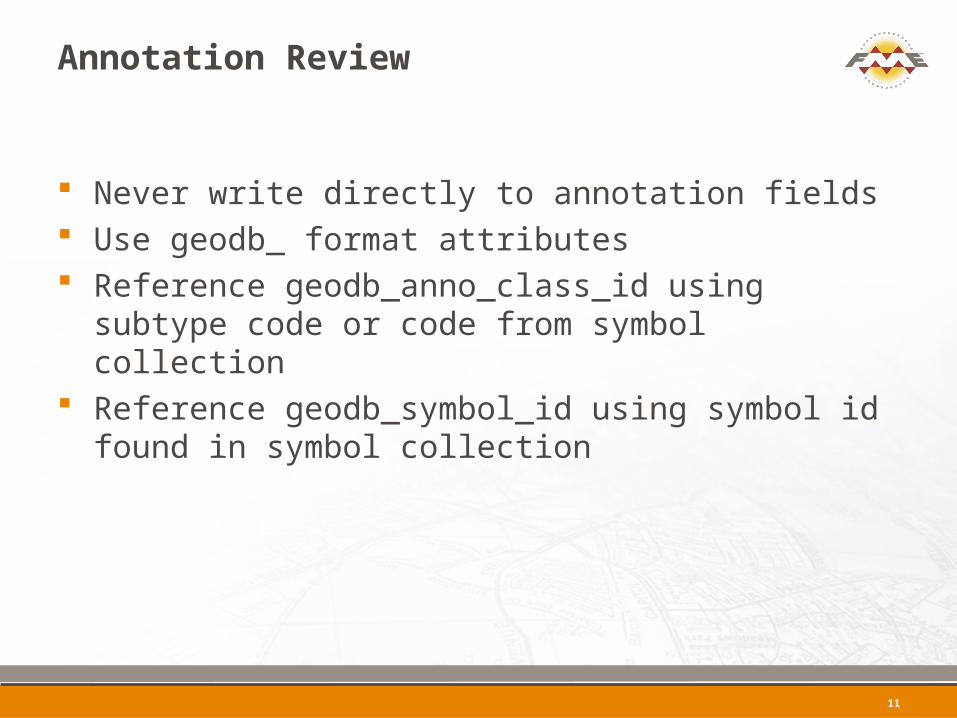
Annotation Review
Never write directly to annotation fields Use geodb_ format attributes Reference geodb_anno_class_id using subtype
code or code from symbol collection Reference geodb_symbol_id using symbol id
found in symbol collection
11
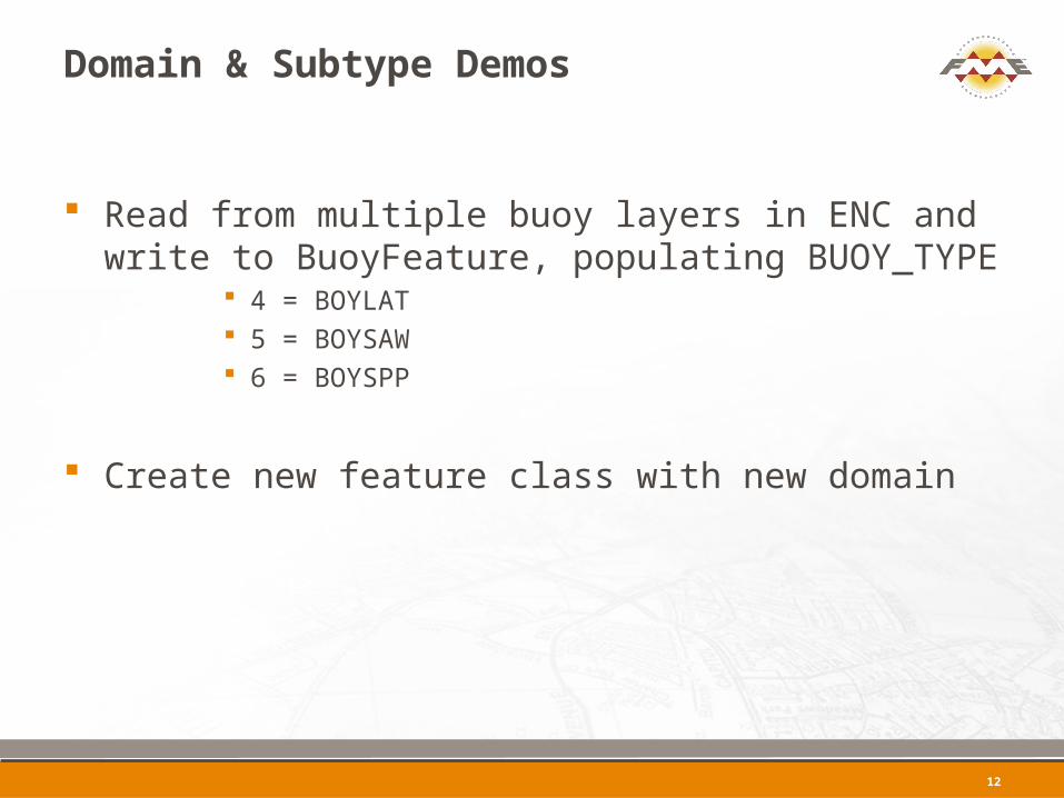
Domain & Subtype Demos
Read from multiple buoy layers in ENC and write to BuoyFeature, populating BUOY_TYPE
4 = BOYLAT 5 = BOYSAW 6 = BOYSPP
Create new feature class with new domain
12
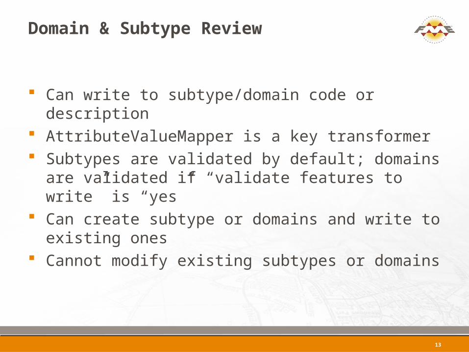
Domain & Subtype Review
Can write to subtype/domain code or description AttributeValueMapper is a key transformer Subtypes are validated by default; domains are
validated if “validate features to write” is “yes” Can create subtype or domains and write to
existing ones Cannot modify existing subtypes or domains
13
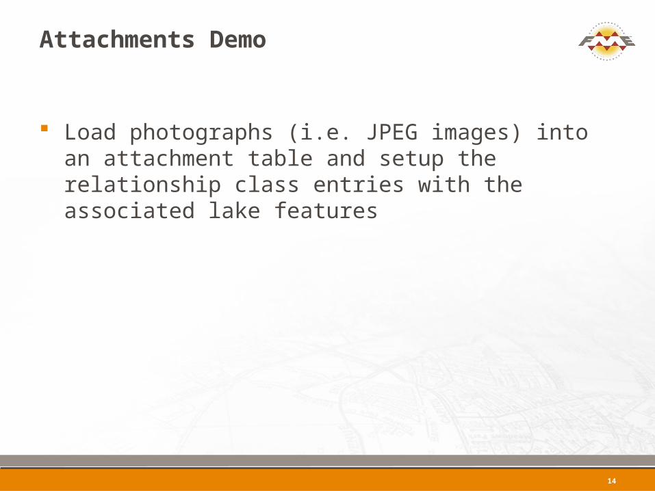
Attachments Demo
Load photographs (i.e. JPEG images) into an attachment table and setup the relationship class entries with the associated lake features
14
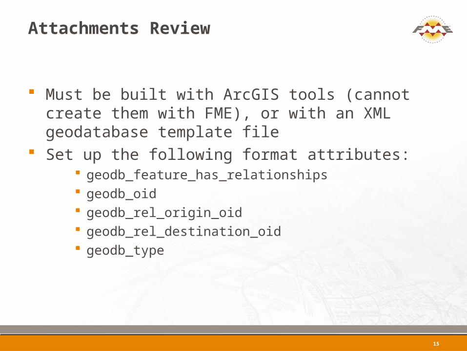
Attachments Review
Must be built with ArcGIS tools (cannot create them with FME), or with an XML geodatabase template file
Set up the following format attributes: geodb_feature_has_relationships geodb_oid geodb_rel_origin_oid geodb_rel_destination_oid geodb_type
15
Metadata Demo
Updating existing metadata
16
Metadata Review
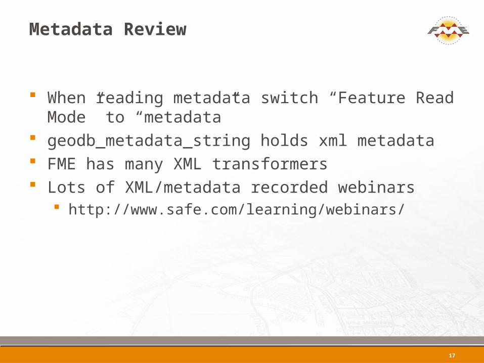
When reading metadata switch “Feature Read Mode” to “metadata”
geodb_metadata_string holds xml metadata FME has many XML transformers Lots of XML/metadata recorded webinars
http://www.safe.com/learning/webinars/
17
Raster Demo
Take a set of tiled raster files, mosaic them, and write them to ArcSDE Geodatabase Raster Dataset
18
Raster Review
Many raster transformers in FME Check out FMEPedia raster landing page
http://fmepedia.safe.com/topic/raster
19

FME Training

AUGUST
31
Time Limited Offer!
Winners Will Have Until August 31to register for any online course
View the offerings at: http://fme.ly/online
What’s Next?
Personalized web demo – [email protected] Try FME Desktop Upcoming webinars:
What’s New in ArcGIS 10.1 Data Interoperability Extension (August 21st)
Preparing LiDAR for Use in ArcGIS 10.1 with the Data Interoperability Extension (August 23rd)
How to Easily Load Data into ArcGIS for Local Government (August 30th)
http://safe.com/learning/webinars/
Training options: http://www.safe.com/learning/training/

Thanks for Attending!
Webinar recording link and follow-upwill be sent to you via email
Info:[email protected]
Still have questions?www.safe.com/support Try www.fmepedia.com
Mita & Markwww.safe.com
Related Documents