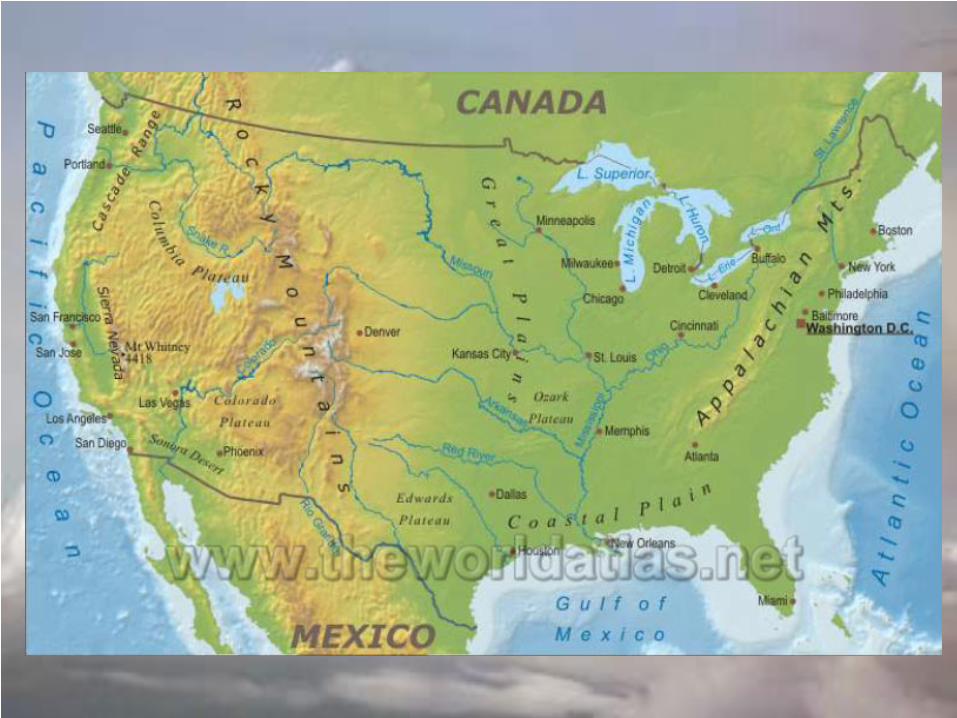
Major Landforms of the US

Welcome message from author
This document is posted to help you gain knowledge. Please leave a comment to let me know what you think about it! Share it to your friends and learn new things together.
Transcript
Major Landforms of the US
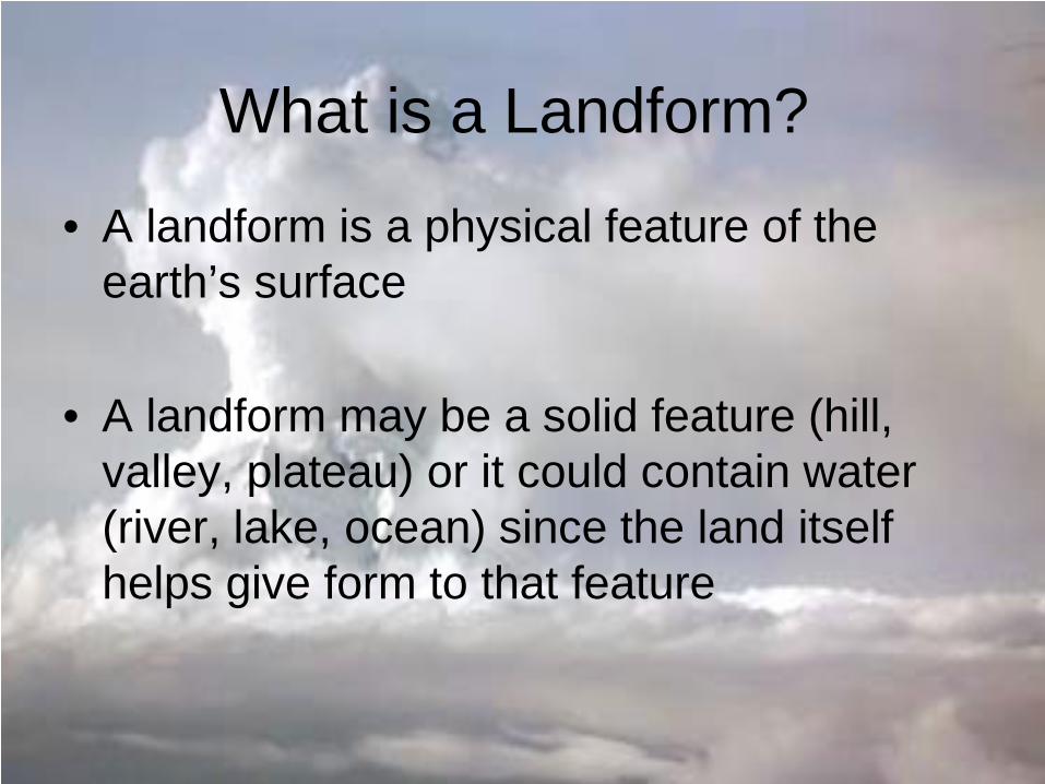
What is a Landform?
• A landform is a physical feature of the earth’s surface
• A landform may be a solid feature (hill, valley, plateau) or it could contain water (river, lake, ocean) since the land itself helps give form to that feature
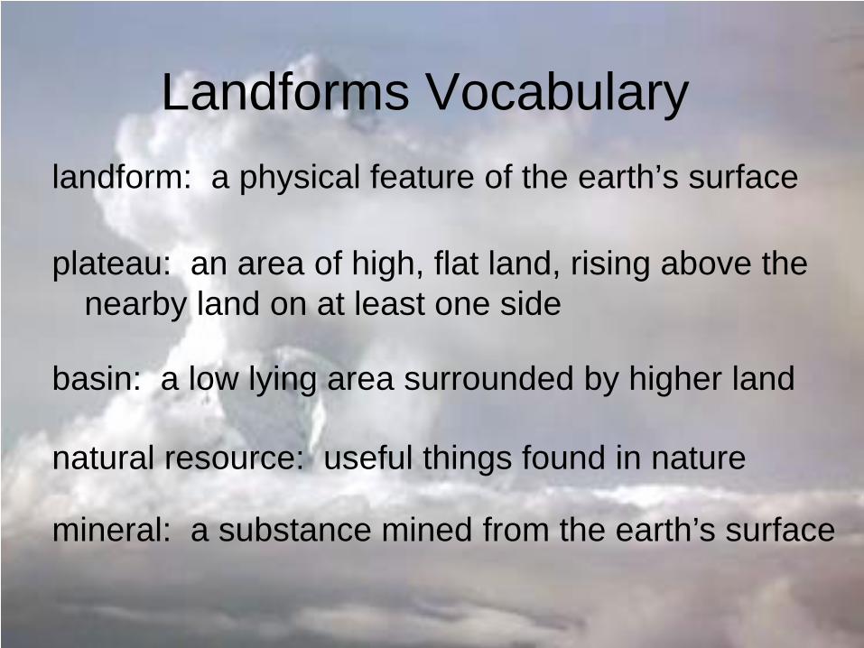
Landforms Vocabulary landform: a physical feature of the earth’s surface
plateau: an area of high, flat land, rising above the nearby land on at least one side
basin: a low lying area surrounded by higher land
natural resource: useful things found in nature
mineral: a substance mined from the earth’s surface
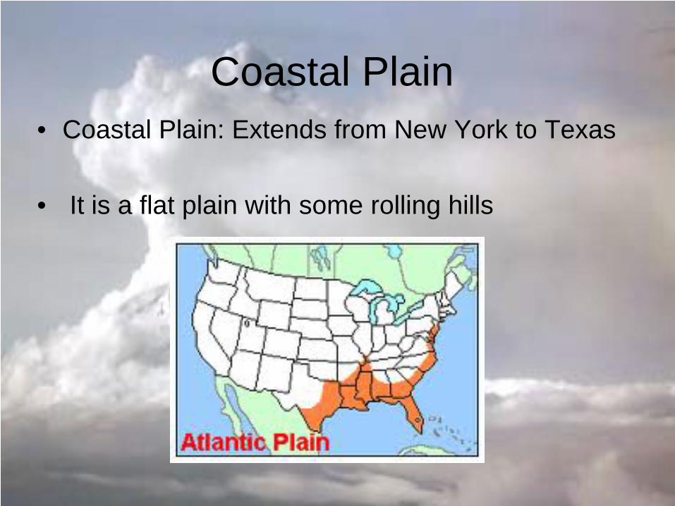
Coastal Plain • Coastal Plain: Extends from New York to Texas
• It is a flat plain with some rolling hills
Coastal Plain
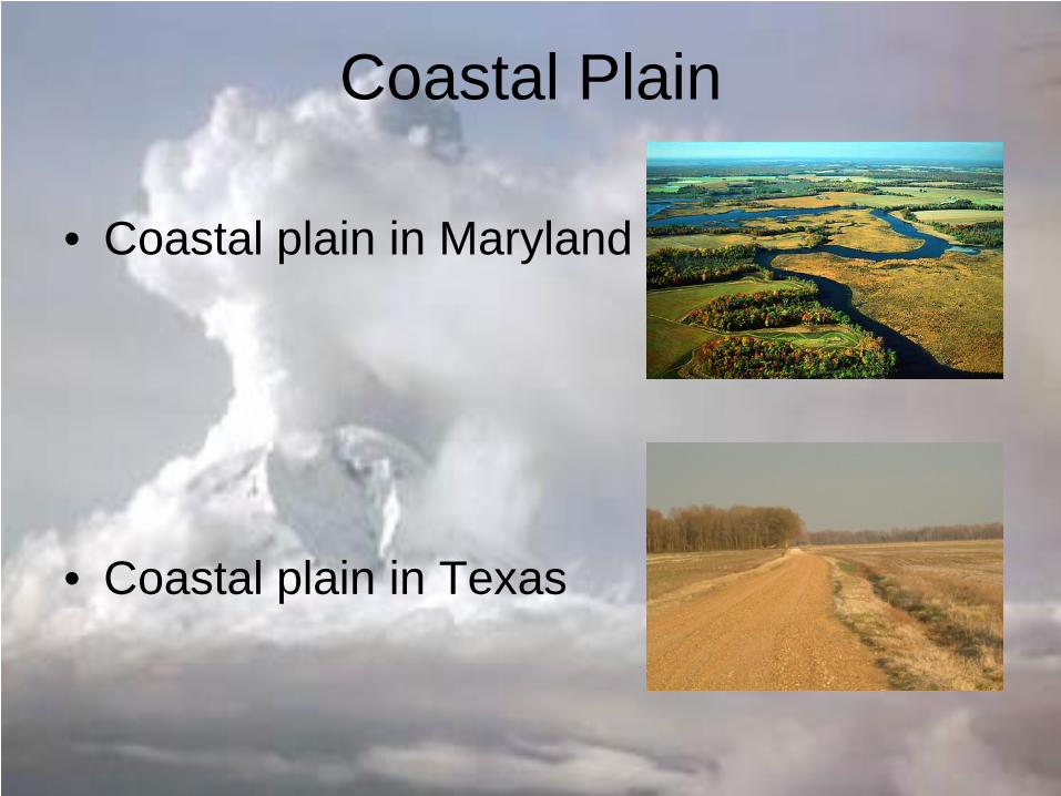
• Coastal plain in Maryland
• Coastal plain in Texas
Coastal Plain
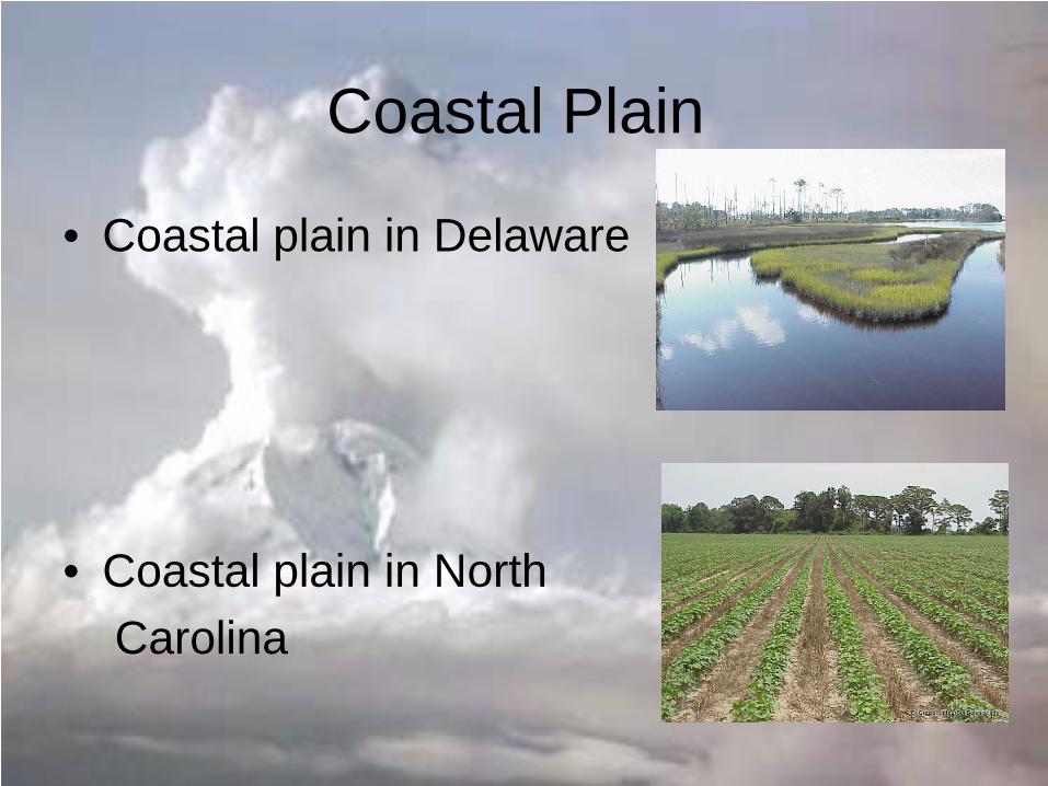
• Coastal plain in Delaware
• Coastal plain in North Carolina
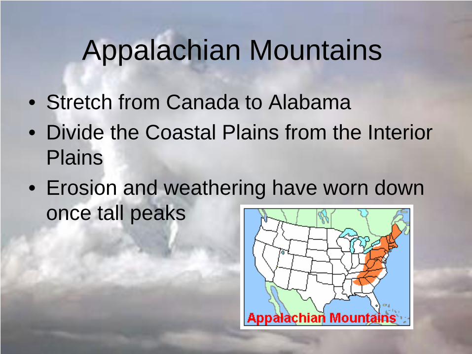
Appalachian Mountains
• Stretch from Canada to Alabama • Divide the Coastal Plains from the Interior
Plains • Erosion and weathering have worn down
once tall peaks
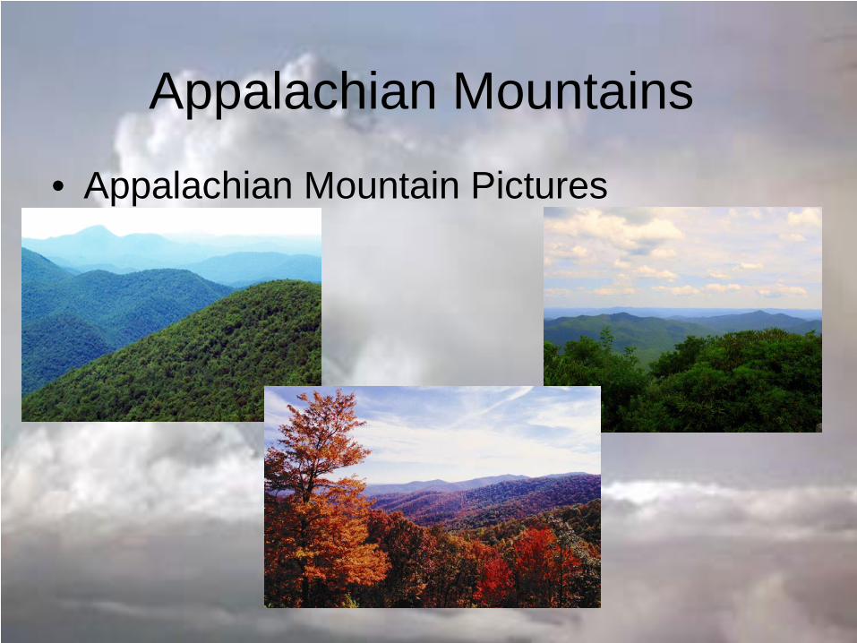
Appalachian Mountains
• Appalachian Mountain Pictures
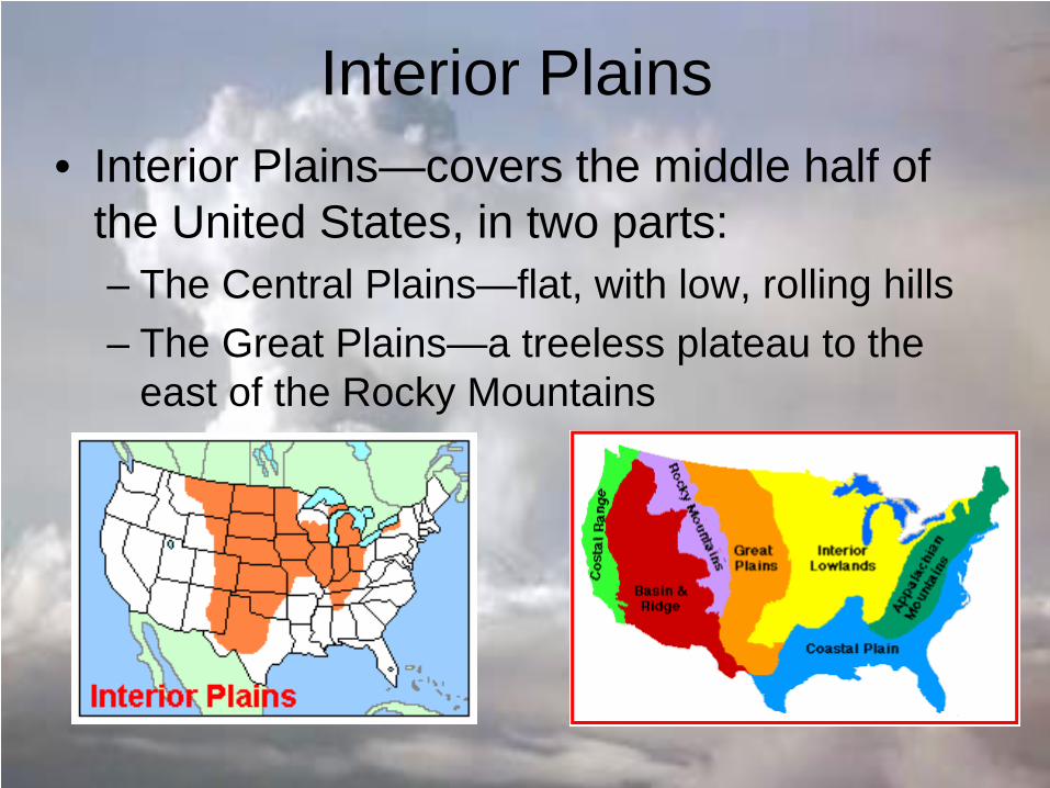
Interior Plains • Interior Plains—covers the middle half of
the United States, in two parts: – The Central Plains—flat, with low, rolling hills – The Great Plains—a treeless plateau to the
east of the Rocky Mountains
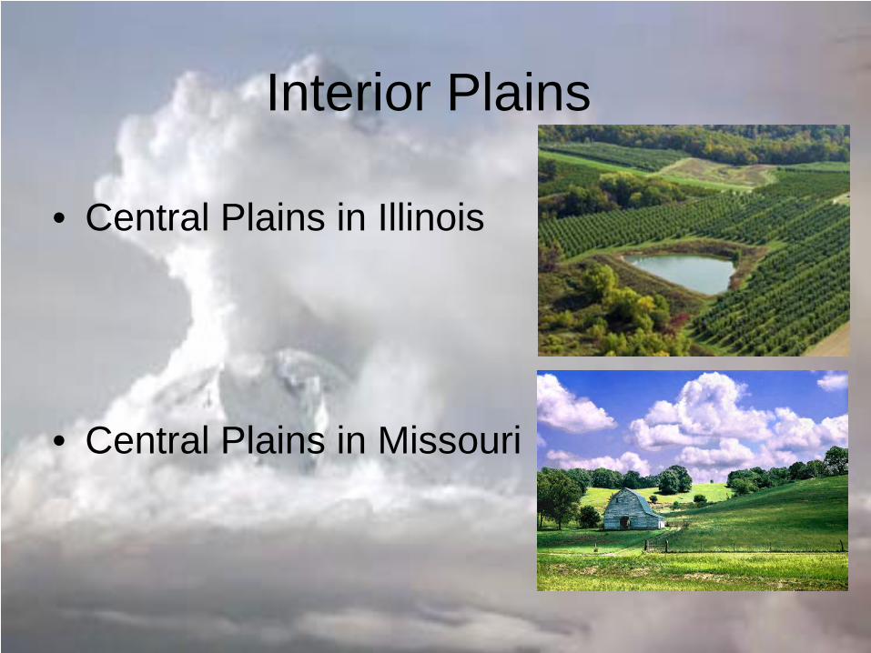
Interior Plains
• Central Plains in Illinois
• Central Plains in Missouri
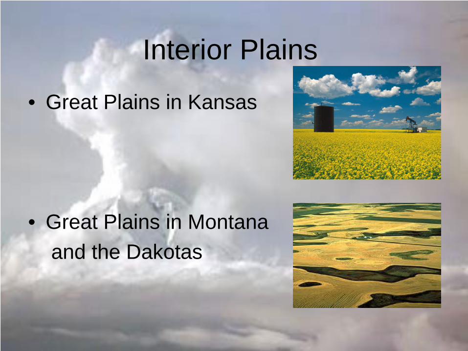
Interior Plains
• Great Plains in Kansas
• Great Plains in Montana and the Dakotas
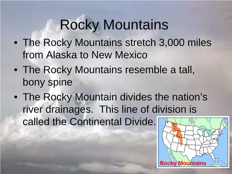
Rocky Mountains • The Rocky Mountains stretch 3,000 miles
from Alaska to New Mexico • The Rocky Mountains resemble a tall,
bony spine • The Rocky Mountain divides the nation’s
river drainages. This line of division is called the Continental Divide.
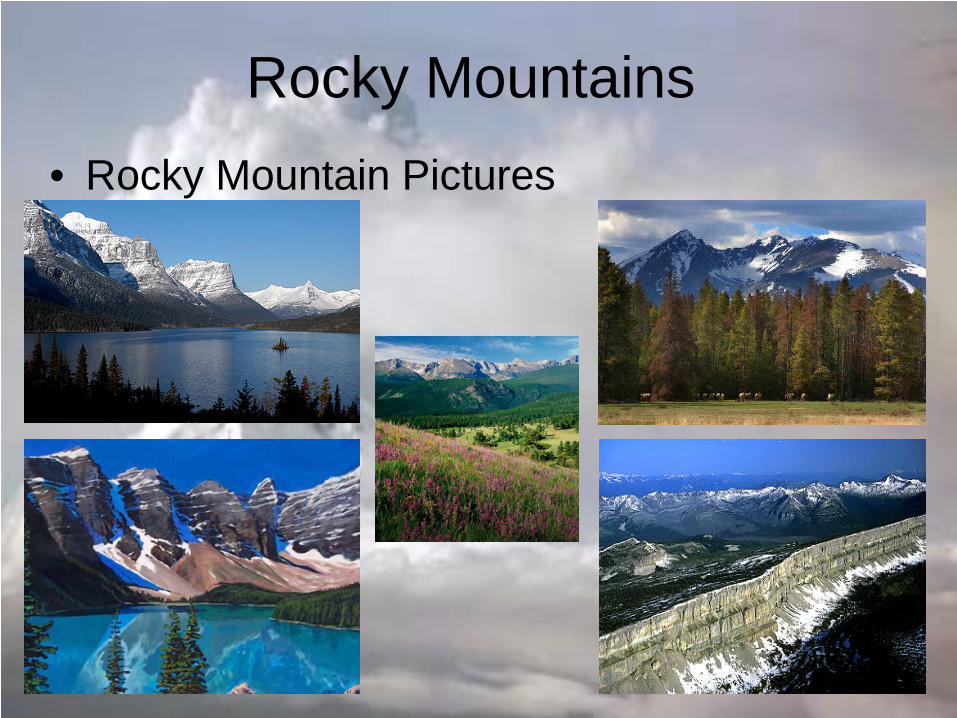
Rocky Mountains • Rocky Mountain Pictures
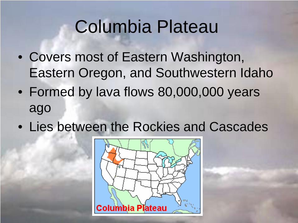
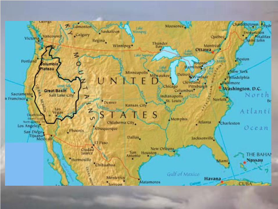
Columbia Plateau • Covers most of Eastern Washington,
Eastern Oregon, and Southwestern Idaho • Formed by lava flows 80,000,000 years
ago • Lies between the Rockies and Cascades
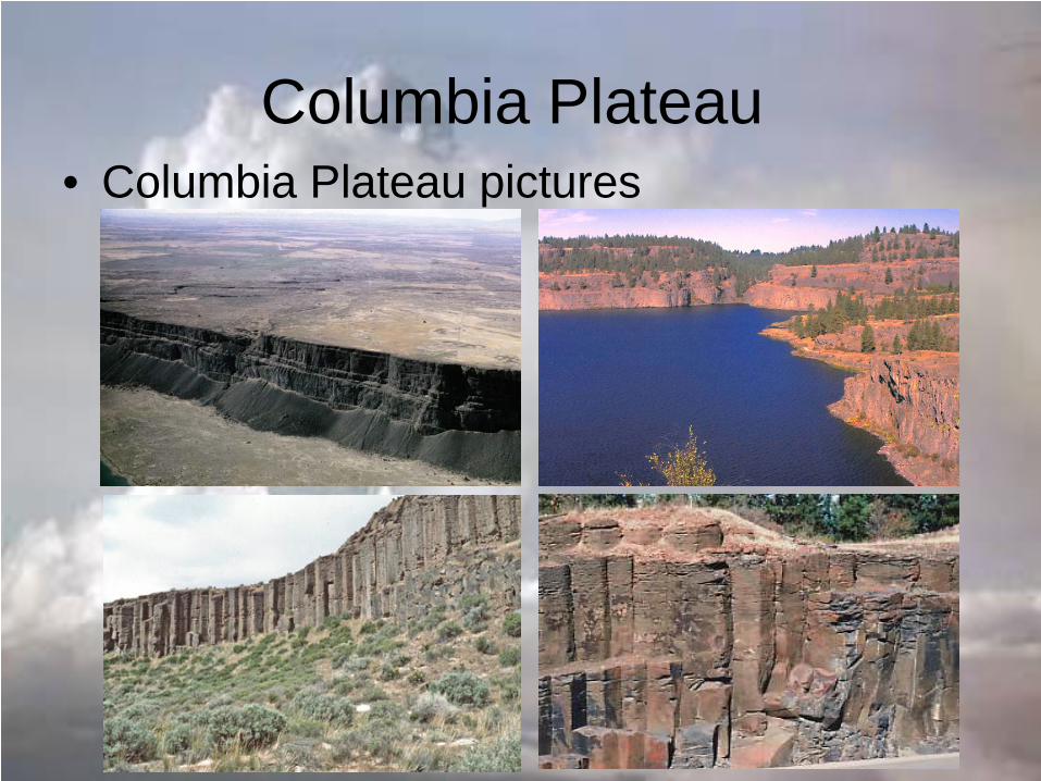
Columbia Plateau • Columbia Plateau pictures
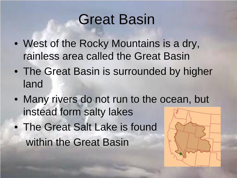
Great Basin • West of the Rocky Mountains is a dry,
rainless area called the Great Basin • The Great Basin is surrounded by higher
land • Many rivers do not run to the ocean, but
instead form salty lakes • The Great Salt Lake is found within the Great Basin
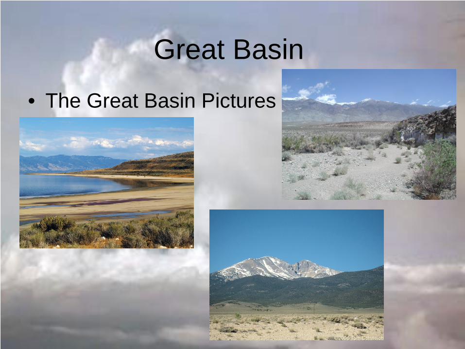
Great Basin
• The Great Basin Pictures
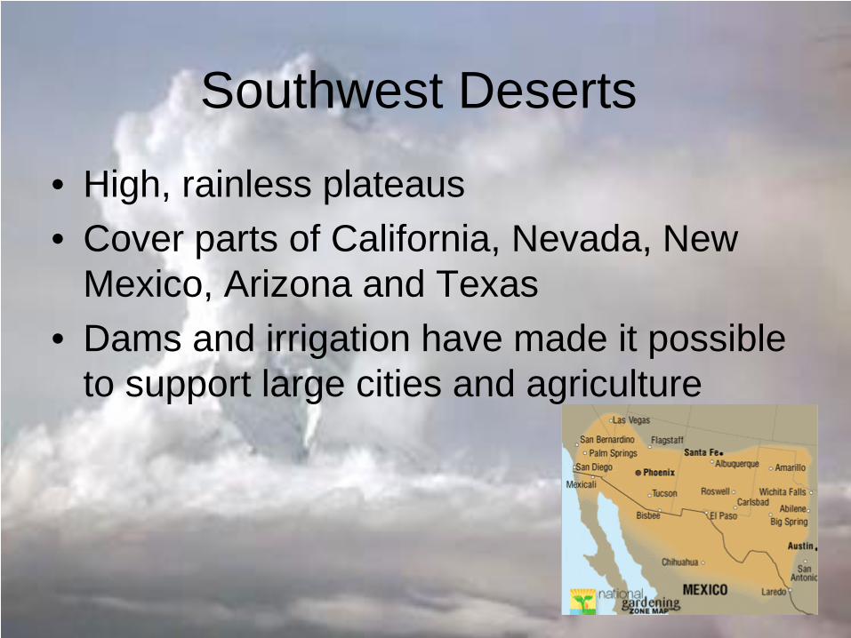
Southwest Deserts
• High, rainless plateaus • Cover parts of California, Nevada, New
Mexico, Arizona and Texas • Dams and irrigation have made it possible
to support large cities and agriculture
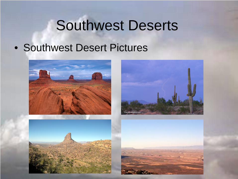
Southwest Deserts • Southwest Desert Pictures
Pacific Mountain Ranges • Cascade Mountains Stretches from Canada to California • Sierra Nevada Mountains Found mostly in California and Nevada • Olympic Mountains Located on the Olympic Peninsula • Coastal Range Mountains lie close to the Pacific shore from Washington to California
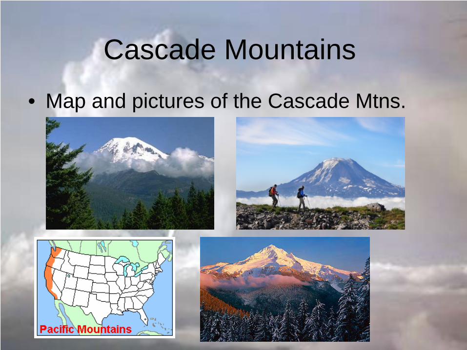
Cascade Mountains
• Map and pictures of the Cascade Mtns.
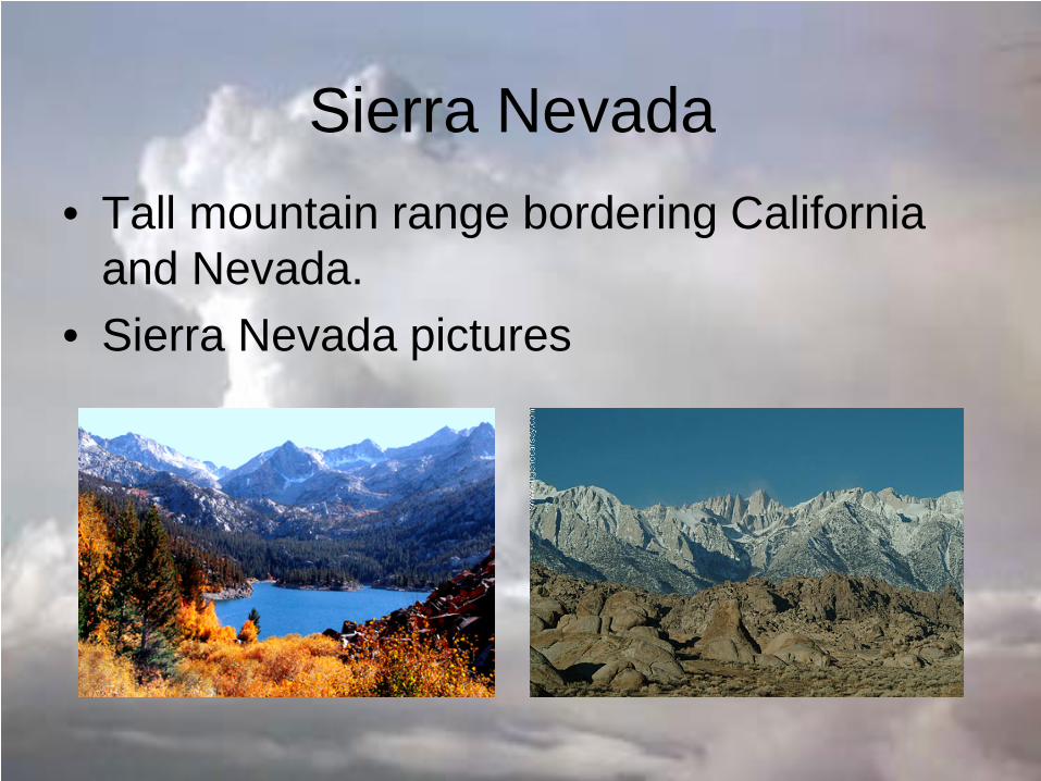
Sierra Nevada • Tall mountain range bordering California
and Nevada. • Sierra Nevada pictures
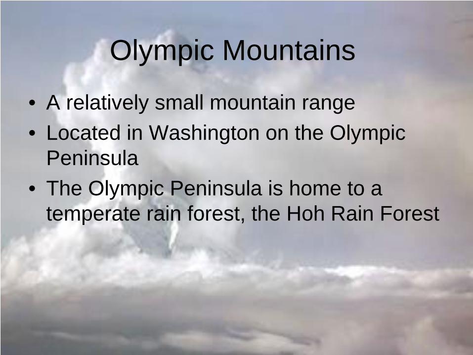
Olympic Mountains
• A relatively small mountain range • Located in Washington on the Olympic
Peninsula • The Olympic Peninsula is home to a
temperate rain forest, the Hoh Rain Forest
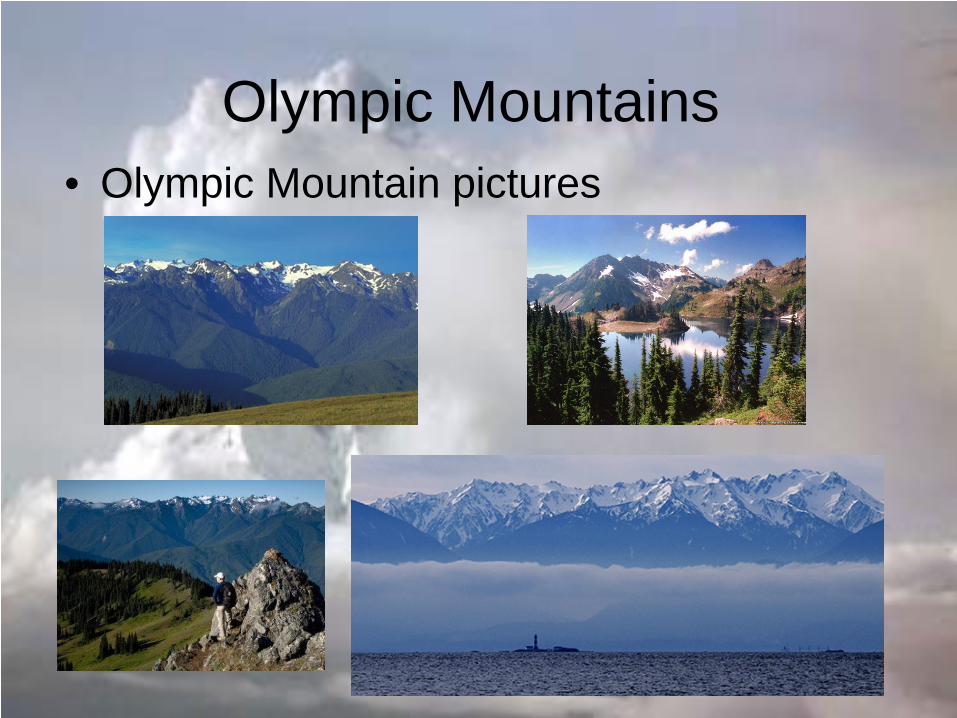
Olympic Mountains • Olympic Mountain pictures
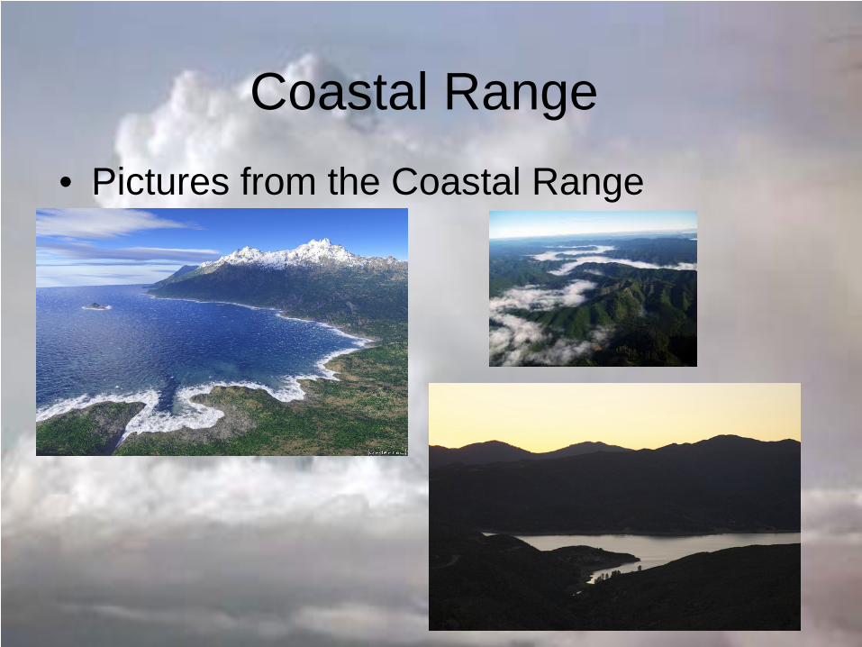
Coastal Range • Pictures from the Coastal Range
Highs and Lows
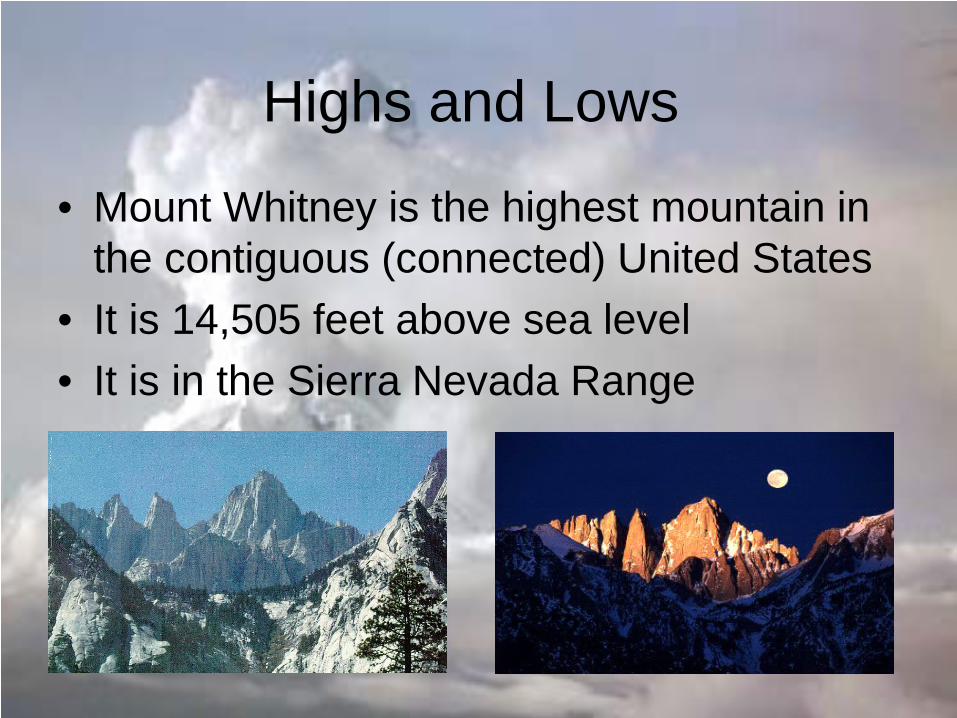
• Mount Whitney is the highest mountain in the contiguous (connected) United States
• It is 14,505 feet above sea level • It is in the Sierra Nevada Range
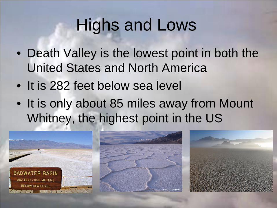
Highs and Lows • Death Valley is the lowest point in both the
United States and North America • It is 282 feet below sea level • It is only about 85 miles away from Mount
Whitney, the highest point in the US
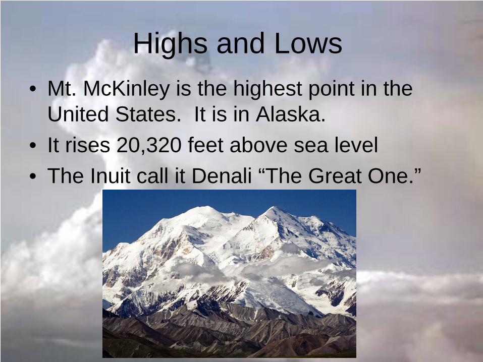
Highs and Lows • Mt. McKinley is the highest point in the
United States. It is in Alaska. • It rises 20,320 feet above sea level • The Inuit call it Denali “The Great One.”
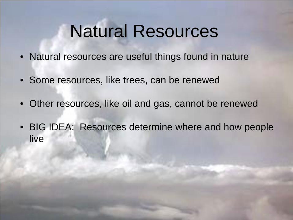
Natural Resources • Natural resources are useful things found in nature
• Some resources, like trees, can be renewed
• Other resources, like oil and gas, cannot be renewed
• BIG IDEA: Resources determine where and how people
live
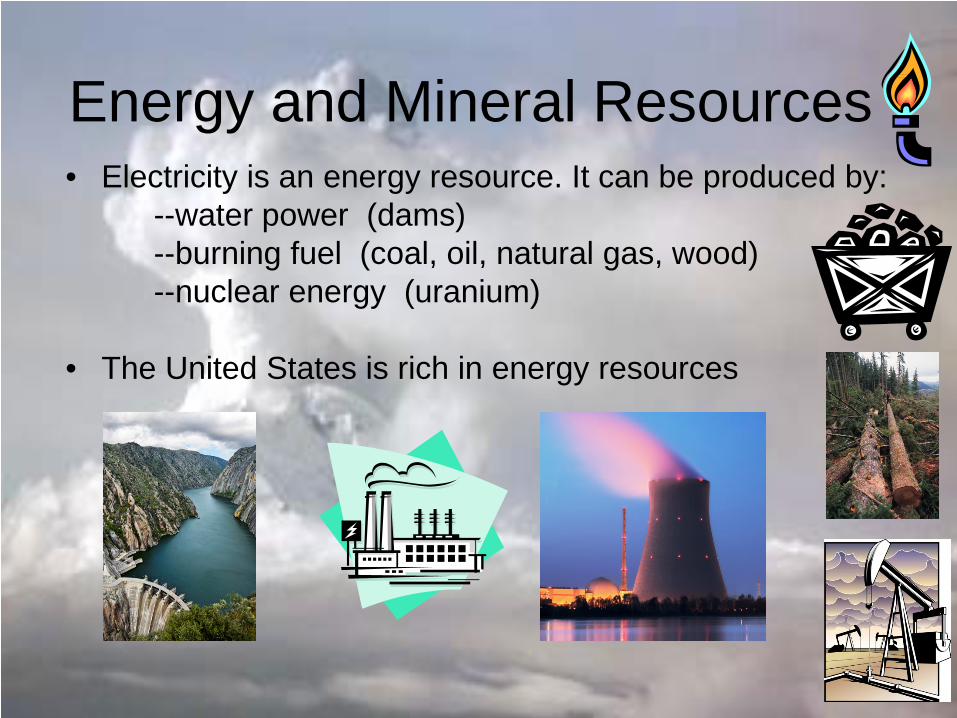
Energy and Mineral Resources • Electricity is an energy resource. It can be produced by: --water power (dams) --burning fuel (coal, oil, natural gas, wood) --nuclear energy (uranium) • The United States is rich in energy resources
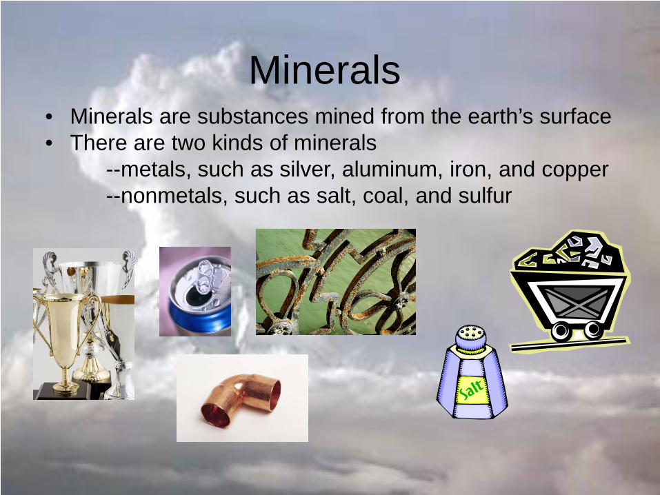
Minerals • Minerals are substances mined from the earth’s surface • There are two kinds of minerals --metals, such as silver, aluminum, iron, and copper --nonmetals, such as salt, coal, and sulfur
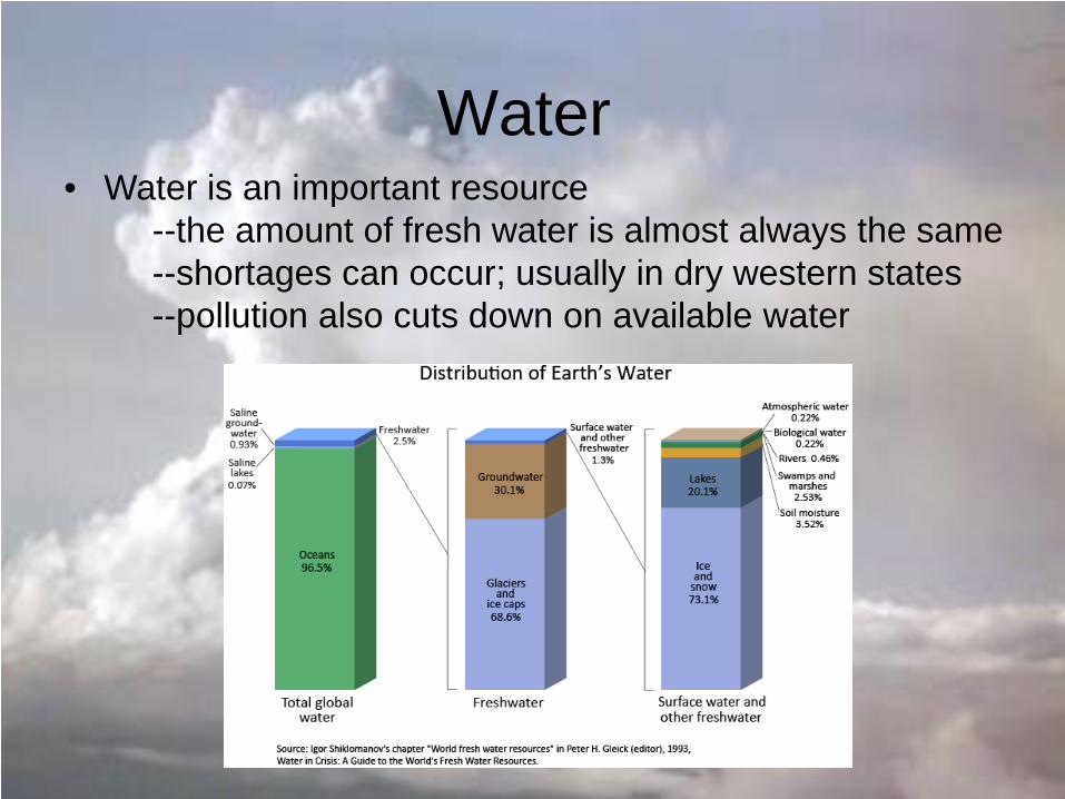
Water • Water is an important resource --the amount of fresh water is almost always the same --shortages can occur; usually in dry western states --pollution also cuts down on available water
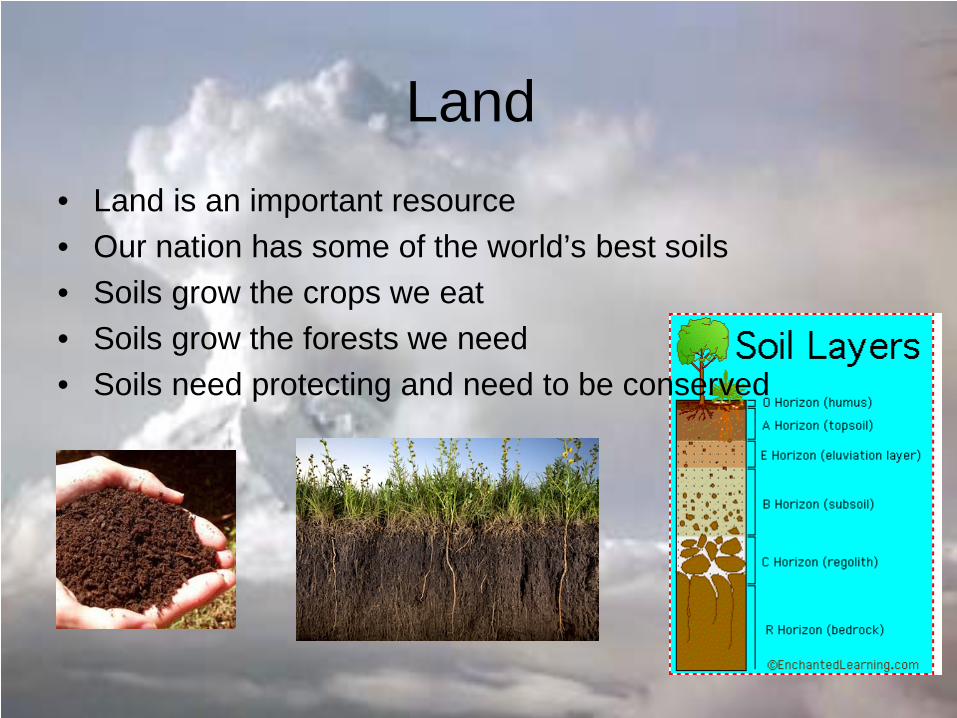
Land • Land is an important resource • Our nation has some of the world’s best soils • Soils grow the crops we eat • Soils grow the forests we need • Soils need protecting and need to be conserved
Related Documents