SOCCSKSARGEN REGION XII

Mainsoccsksargen 101212052013-phpapp01
Jul 16, 2015
Welcome message from author
This document is posted to help you gain knowledge. Please leave a comment to let me know what you think about it! Share it to your friends and learn new things together.
Transcript

SOCCSKSARGENREGION XII
MAP OF SOCCSKSARGEN
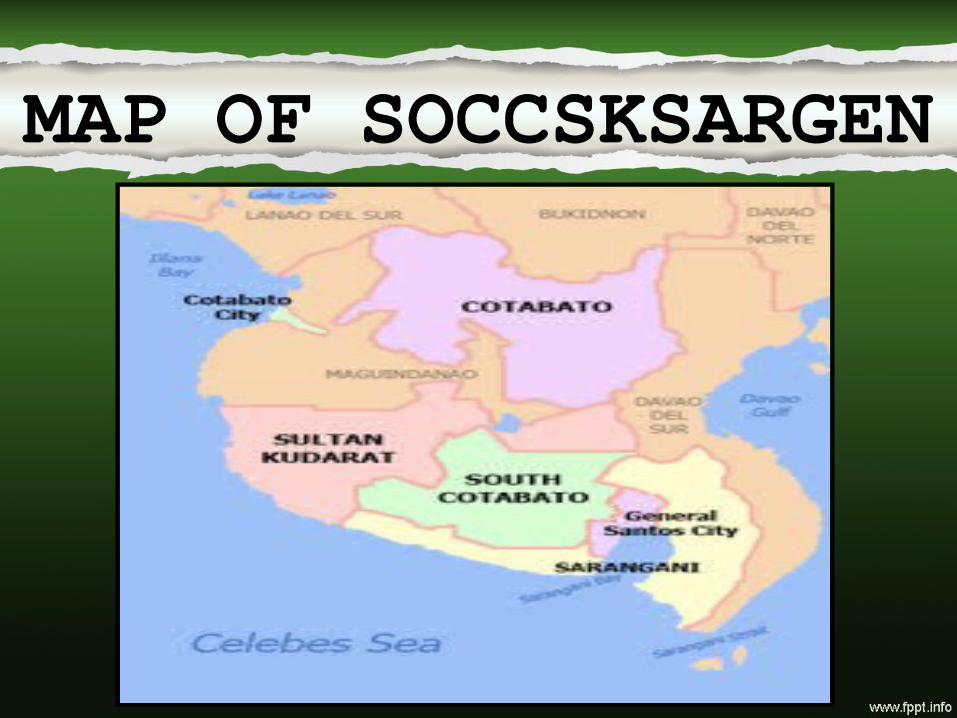
SOC C SK SAR GEN
South South CotabatoCotabato CotabatoCotabato
Sultan Sultan KudaratKudarat
SaranganiSaranganiGeneral General SantosSantos

About SOCCSKSARGENCapital: Koronadal City,
Languages: Tboli, Blaan, Cotabato Manobo, Tagabanwa
Population: 3,222,169Divisions
– Provinces: 4
– Cities: 5
– Municipalities: 45
– Barangays: 1,194
– Cong. Districts: 6

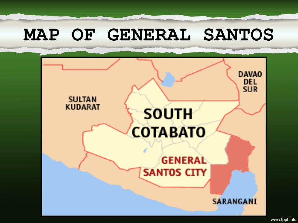
SOUTHCOTABATO
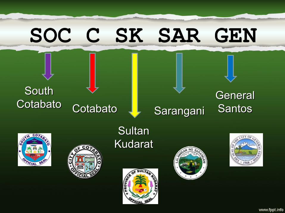
MAP OF SOUTH COTABATO

• is a province of the Philippines located in the SOCCSKSARGEN region in Mindanao. Its capital is Koronadal City, and it borders Sultan Kudarat to the north and west, Sarangani to the south and east, and Davao del Sur to the east. To the southeast lies Sarangani Bay.
• General Santos, located on the shores of Sarangani Bay, is the largest city in the region, but is governed independently from the province. The province of Sarangani used to be part of South Cotabato until it was made an independent province in 1992.

Tourist/Attractions
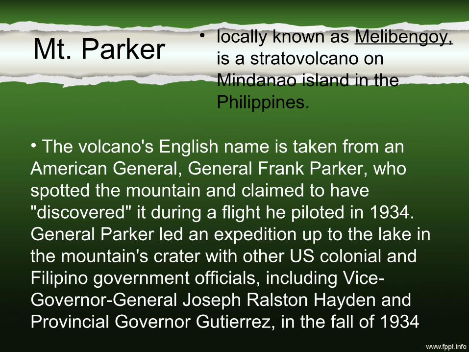
Mt. Parker• locally known as Melibengoy,
is a stratovolcano on Mindanao island in the Philippines.
• The volcano's English name is taken from an American General, General Frank Parker, who spotted the mountain and claimed to have "discovered" it during a flight he piloted in 1934. General Parker led an expedition up to the lake in the mountain's crater with other US colonial and Filipino government officials, including Vice-Governor-General Joseph Ralston Hayden and Provincial Governor Gutierrez, in the fall of 1934
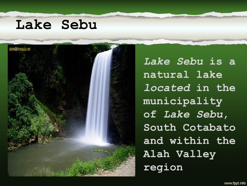
Lake Sebu
Lake Sebu is a natural lake located in the municipality of Lake Sebu, South Cotabato and within the Alah Valley region

Lang Dulay at T’bong in Lake Sebu, South Cotabato
Get to know about the works and life story of a living legend among the T’boli's and one of the country’s “Living Treasures”, known for her dream-inspired weaving of the famous T’nalak. At 90 years old, Lang Dulay still weaves and uses the traditional process to create the T’nalak cloth. She was honored as National Artist last 1998.
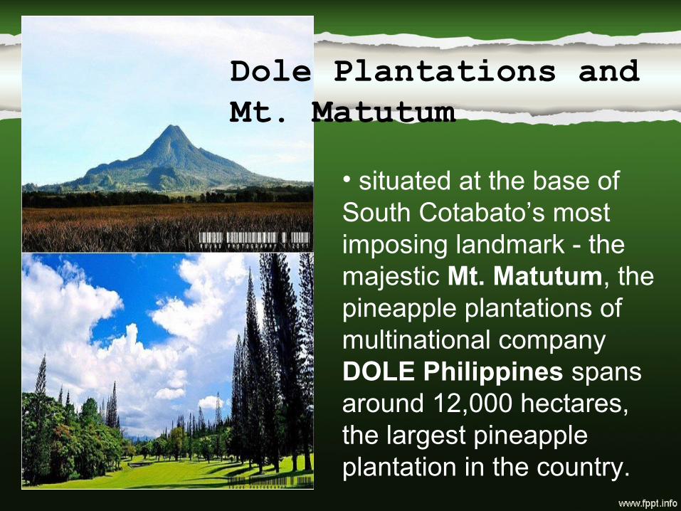
Dole Plantations and Mt. Matutum
• situated at the base of South Cotabato’s most imposing landmark - the majestic Mt. Matutum, the pineapple plantations of multinational company DOLE Philippines spans around 12,000 hectares, the largest pineapple plantation in the country.

Tarsiers in South Cotabato
• with the establishment of a Tarsier Sanctuary, a closer look at the world’s smallest primate known locally as Tukal mal awaits you in Brgy. Linan, Tupi.

COTABATO
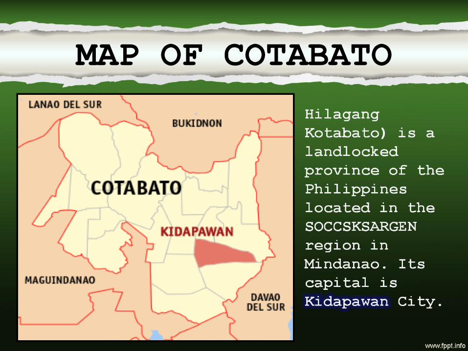
MAP OF COTABATO

Early history
• Cotabato derives its name from the Maguindanao kuta wato (from Malay - "Kota Batu"), meaning "stone fort", referring to the stone fort which served as the seat of Sultan Muhammad Kudarat in what is now Cotabato City.
Cotabato stretches west from Mount Apo, which separates it from Davao, to the Piapayungan Range on its boundary with Lanao. In the midst of these uplands is the basin of the Pulangi or Rio Grande de Mindanao, the second longest in the Philippines at 300 km, which rises in Bukidnon and flows south to Maguindanao and Illana Bay.

Sultan Hassanal Bolkiah Masjid
Sultan Haji Hassanal Bolkiah Masjid, also known as the Grand Mosque of Cotabato, is the largest mosque in the Philippines. The mosque is located in Barangay Kalanganan in Cotabato City.

Kutawato Cave

Asik-asik falls Sitio Dulao, Brgy. Dado, Alamada,

SULTANKUDARAT

MAP OF SULTAN KUDARAT
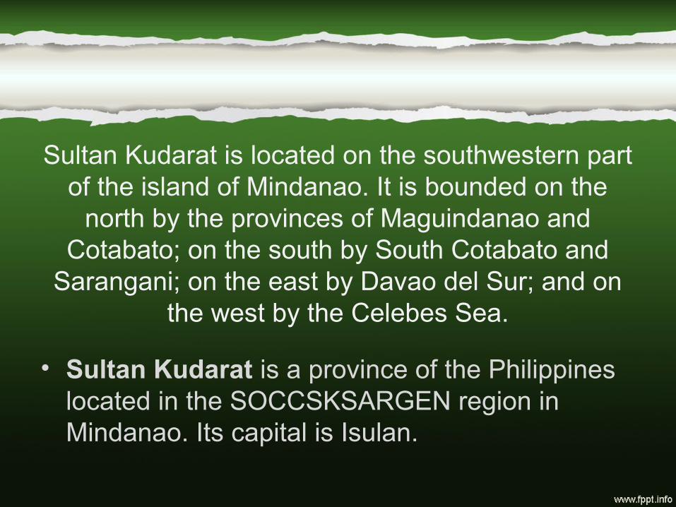
Sultan Kudarat is located on the southwestern part of the island of Mindanao. It is bounded on the
north by the provinces of Maguindanao and Cotabato; on the south by South Cotabato and
Sarangani; on the east by Davao del Sur; and on the west by the Celebes Sea.
• Sultan Kudarat is a province of the Philippines located in the SOCCSKSARGEN region in Mindanao. Its capital is Isulan.

Economy
• The economy of Sultan Kudarat is predominantly agricultural. With a large agricultural potential, the output consists of practically all types of crops grown in the country, including rice, corn, beef, coffee, and vegetables. The province is self-sufficient in poultry, swine, and root crops, and is one of the few producers of Irish potatoes in the Philippines. The southern Philippines Grain Complex in Tacurong is the largest grains-processing complex in the country. There are more than 200 rice mills in the province.
• Other economic activities include cottage industries, which include crafts made of rattan and other types of wood.

Tourist/Attraction
Badiangon falls, Brgy. Sangay Kalamnsig.
Esperanza Mambukal Hot Spring
This medical Sulfur Hot Spring is located near the tourist lodge. It is believed to cure cases skin diseases, arthritis, rheumatism and increases the flow of gastric juice and improves appetite.

Palimbang, Sultan Kudarat

SARANGANI
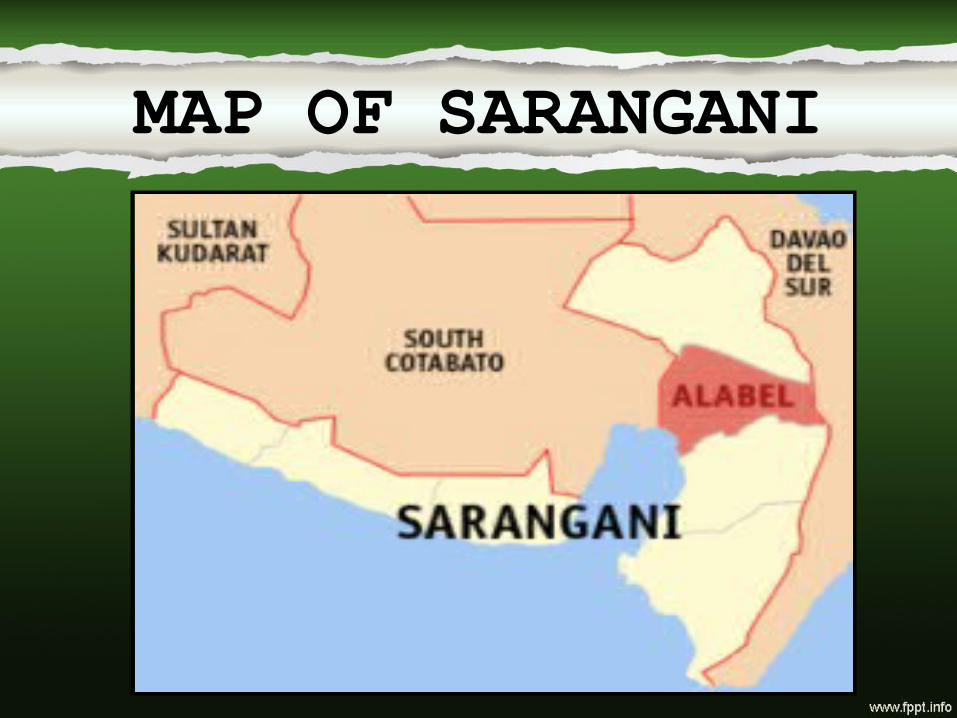
MAP OF SARANGANI

About SARANGANI
Capital: Alabel
Major Dialects/Languages: Cebuano, Ilocano, Ilonggo, Tagalog, B'laan, and English
Municipalities: Malungon, Glan, Malapatan, Alabel, Maasim, Maitum, Kiamba
Religion: Roman Catholic
Hispanicized corruption of the Malay expression sarang(an) ini, meaning "this is our home," or literally, "this is our nest," referring to Sarangani Island.
ETYMOLOGY

Major IndustriesAgriculture: coconut, fruit and vegetable
contract growing, rice and corn
Aquaculture: Milkfish(Bangus), Tilapia, and Prawns
Major ProductsAgriculture: Copra, rice corn, fruits and
vegetables, and sugarcane
Aquaculture: Prawns, Milkfish(Bangus), Tilapia, catfish(hito)
AGRICULTURE

SARANGANIBeautiful Spots in

Ayub CaveBarangay Pinol ,
Ayub Cave revealed the hidden history of some of the earliest inhabitants of the Philippines. More discoveries were made about ten years ago that indicated settlements from various periods of ancient history.

La Isla Pari l la

SARANGANIFestivals in
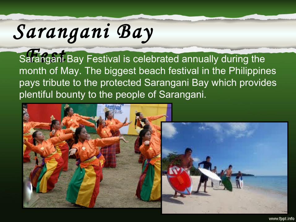
Sarangani Bay FestSarangani Bay Festival is celebrated annually during the
month of May. The biggest beach festival in the Philippines pays tribute to the protected Sarangani Bay which provides plentiful bounty to the people of Sarangani.

Munato Festival
A thanksgiving festival and a grand celebration in commemoration of Saranggani's progressive evolution.

GENERALSANTOS
“Tuna Capital of the Phil ippines”
MAP OF GENERAL SANTOS

Capital: General SantosPopulation: 529,542 as of 2007Major Dialects/Languages:
Cebuano, Tagalog, EnglishReligion: Roman Catholic
About GENSAN

HISTORY• The nomadic B'laan people are the original
inhabitants of General Santos, and traces of their early settlement of the area are found in the city's place names, which are derived from their vocabulary. Their name for the city, Dadiangas, is from the thorny Ziziphus spina-christi tree that was once abundant in the area and is now a protected species under Republic Act 8371 or the Indigenous Peoples Right Act of 2007. The B'laan tribe presently lives alongside the city's new generation of settlers and other immigrants

Agriculture:• Pineapples, Rice, Asparagus, Corn,
Coconuts, Exotic fruits, Vegetables, and Fruits.
Aquaculture:• TUNA FISH
AGRICULTURE/PRODUCTS

GENSANBeautiful Spots in
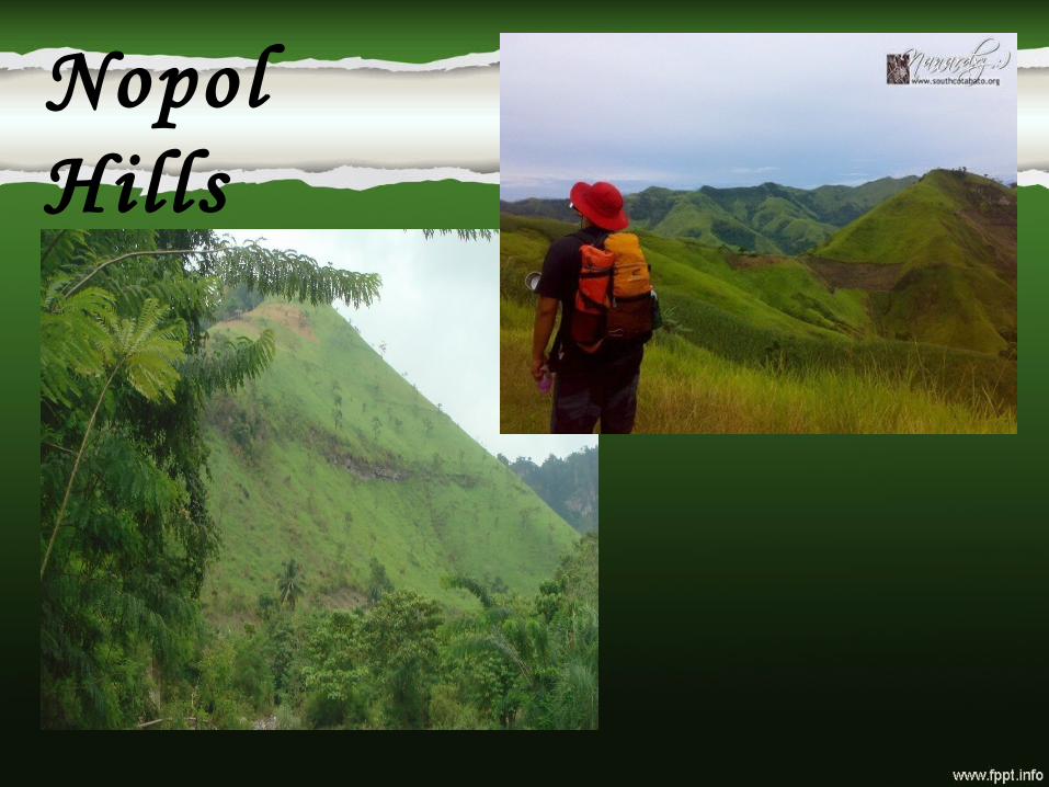
Nopol Hil ls

Kalaja Cave

GENSANFestivals in

Kali langan Festival
focus on the "Diamond Anniversary" of the city.
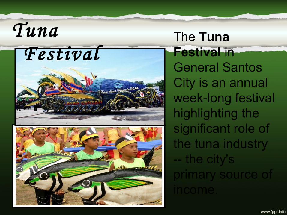
Tuna Festival
The Tuna Festival in General Santos City is an annual week-long festival highlighting the significant role of the tuna industry -- the city's primary source of income.
Related Documents