INDONESIA: INDONESIA: INDONESIA: INDONESIA: INDONESIA: INDONESIA: INDONESIA: INDONESIA: UN UN UN UN UN UN UN UN- - - - -REDD PROGRESS REDD PROGRESS REDD PROGRESS REDD PROGRESS REDD PROGRESS REDD PROGRESS REDD PROGRESS REDD PROGRESS 2009 2009 2009 2009 2009 2009 2009 2009 2009 2009 2009 2009 2009 2009 2009 2009 DIRECTORATE GENERAL OF FOREST PLANNING DIRECTORATE GENERAL OF FOREST PLANNING MINISTRY OF FORESTRY MINISTRY OF FORESTRY Jakarta, September 14, 2009

Welcome message from author
This document is posted to help you gain knowledge. Please leave a comment to let me know what you think about it! Share it to your friends and learn new things together.
Transcript
INDONESIA:INDONESIA:INDONESIA:INDONESIA:INDONESIA:INDONESIA:INDONESIA:INDONESIA:
UNUNUNUNUNUNUNUN--------REDD PROGRESSREDD PROGRESSREDD PROGRESSREDD PROGRESSREDD PROGRESSREDD PROGRESSREDD PROGRESSREDD PROGRESS2009200920092009200920092009200920092009200920092009200920092009
DIRECTORATE GENERAL OF FOREST PLANNINGDIRECTORATE GENERAL OF FOREST PLANNINGMINISTRY OF FORESTRYMINISTRY OF FORESTRY
Jakarta, September 14, 2009
PROGRESS
• National Climate Change Council
• Forestry Climate Change Working Group
• Demonstration Project
• Regulation on REDD implementation
• National REDD Strategy

NATIONAL REDD STRATEGY
LEVELLEVELLEVELLEVEL STRATEGY CATEGORYSTRATEGY CATEGORYSTRATEGY CATEGORYSTRATEGY CATEGORY
NATIONAL LEVEL
1. Policy interventions to tackle drivers of Deforestation and Forest
Degradation
2. REDD regulations (REDD Guidelines and REDD Commissions)REDD regulations (REDD Guidelines and REDD Commissions)
3. Methodology (establishment of National REL and MRV system)
4. Institutional (National Registry, distribution of
incentives/responsibilities, capacity building, stakeholders
communication, coordination among REDD institutions)
5. Analytical works (REL, MRV, Co-benefits, risks, etc)
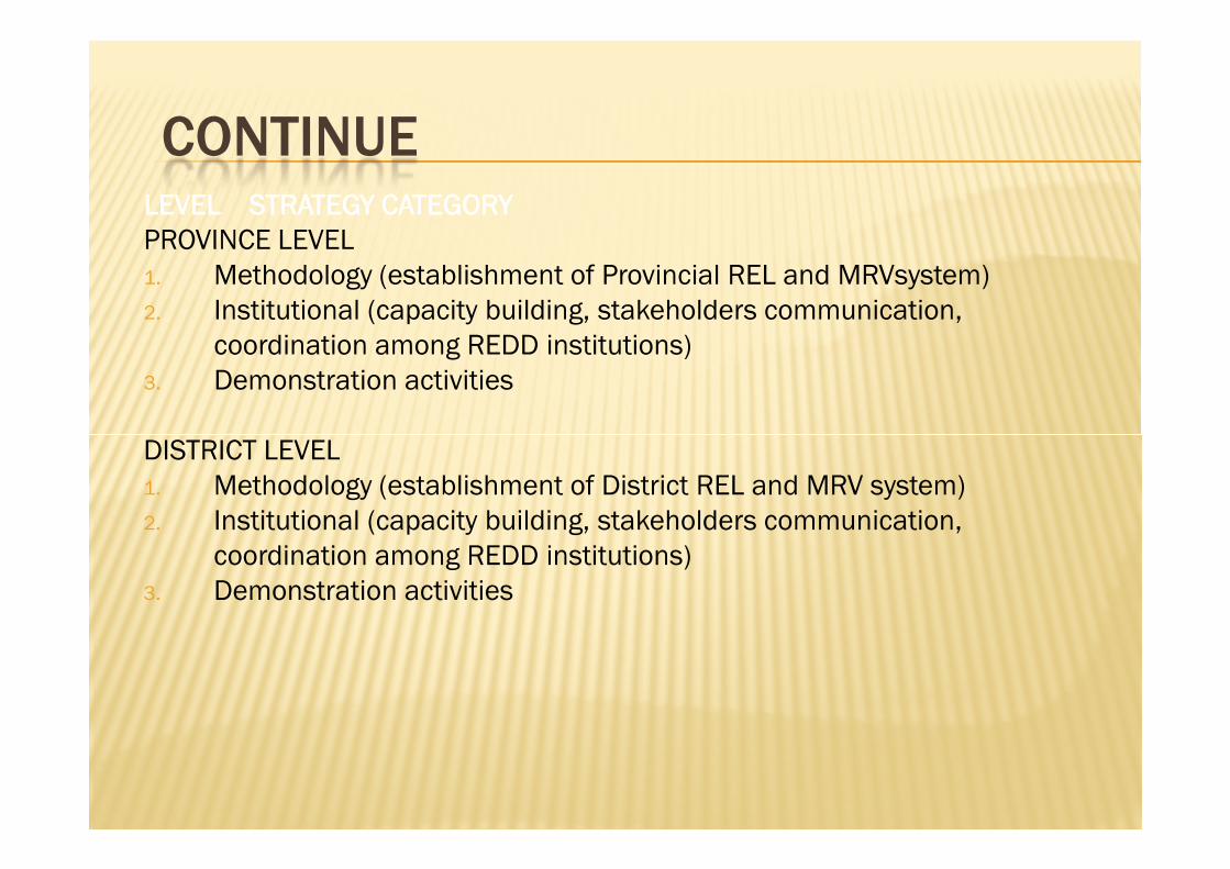
CONTINUELEVELLEVELLEVELLEVEL STRATEGY CATEGORYSTRATEGY CATEGORYSTRATEGY CATEGORYSTRATEGY CATEGORY
PROVINCE LEVEL
1. Methodology (establishment of Provincial REL and MRVsystem)
2. Institutional (capacity building, stakeholders communication,
coordination among REDD institutions)
3. Demonstration activities
DISTRICT LEVELDISTRICT LEVEL
1. Methodology (establishment of District REL and MRV system)
2. Institutional (capacity building, stakeholders communication,
coordination among REDD institutions)
3. Demonstration activities

CHALLENGES
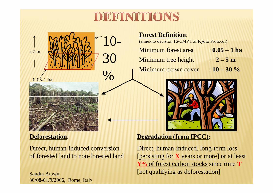
Forest Definition:(annex to decision 16/CMP.1 of Kyoto Protocol)
Minimum forest area : 0.05 – 1 ha
Minimum tree height : 2 – 5 m
Minimum crown cover : 10 – 30 %
2-5 m
0.05-1 ha
10-30%
Degradation (from IPCC):
Direct, human-induced, long-term loss [persisting for X years or more] or at least Y% of forest carbon stocks since time T[not qualifying as deforestation]
Deforestation:
Direct, human-induced conversion of forested land to non-forested land
Sandra Brown30/08-01/9/2006, Rome, Italy
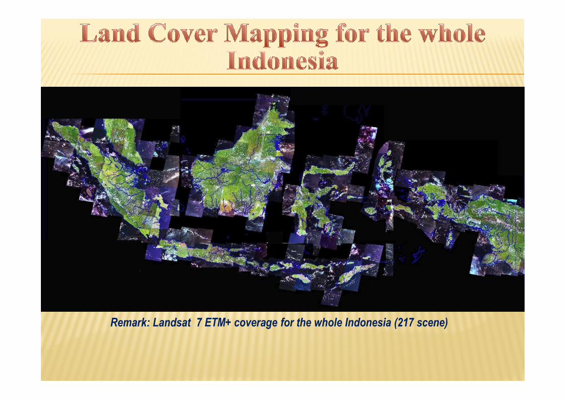
PATH/ROW LANDSAT DATA
Remark: Landsat 7 ETM+ coverage for the whole Indonesia (217 scene)
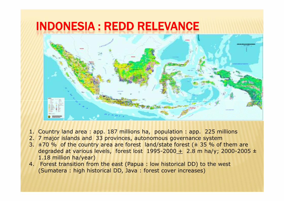
INDONESIA : REDD RELEVANCE INDONESIA : REDD RELEVANCE INDONESIA : REDD RELEVANCE INDONESIA : REDD RELEVANCE
1. Country land area : app. 187 millions ha, population : app. 225 millions 2. 7 major islands and 33 provinces, autonomous governance system 3. ±70 % of the country area are forest land/state forest (± 35 % of them are degraded at various levels, forest lost 1995-2000 + 2.8 m ha/y; 2000-2005 ±1.18 million ha/year)
4. Forest transition from the east (Papua : low historical DD) to the west (Sumatera : high historical DD, Java : forest cover increases)
REDDI
Issue of:climate change, Sustainable forest management, biodiversity, governance, poverty alleviation and development.approach : national with sub-national implementation
• Drivers DD • tackle through “on forest activities” and “Non forest activities”,
• support: • finance, technical/methodological, capacity
PROPOSAL
� ObjectiveObjectiveObjectiveObjective
� Support Indonesia Readiness
� OutcomesOutcomesOutcomesOutcomes
1. Strengthened multi-stakeholder participation 1. Strengthened multi-stakeholder participation and consensus at national level
2. Support Successful demonstration of establishing a REL, MRV and fair payment systems based on the national REDD strategy.
3. Support Capacity established to implement REDD at decentralized levels
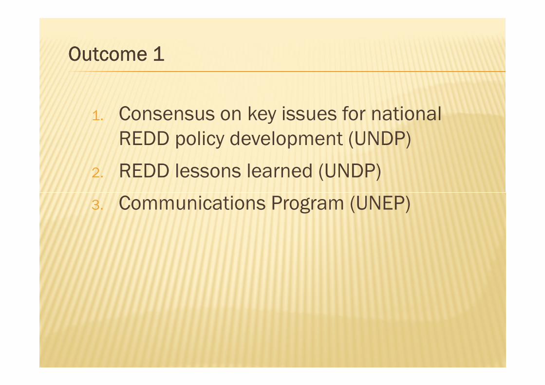
Outcome 1Outcome 1Outcome 1Outcome 1
1. Consensus on key issues for national
REDD policy development (UNDP)
2. REDD lessons learned (UNDP)
Communications Program (UNEP)3. Communications Program (UNEP)
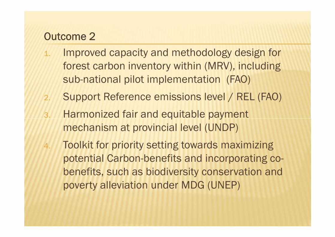
Outcome 2Outcome 2Outcome 2Outcome 2
1. Improved capacity and methodology design for
forest carbon inventory within (MRV), including
sub-national pilot implementation (FAO)
2. Support Reference emissions level / REL (FAO)
3. Harmonized fair and equitable payment 3. Harmonized fair and equitable payment
mechanism at provincial level (UNDP)
4. Toolkit for priority setting towards maximizing
potential Carbon-benefits and incorporating co-
benefits, such as biodiversity conservation and
poverty alleviation under MDG (UNEP)
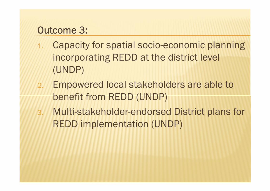
Outcome 3: Outcome 3: Outcome 3: Outcome 3:
1. Capacity for spatial socio-economic planning
incorporating REDD at the district level
(UNDP)
2. Empowered local stakeholders are able to
benefit from REDD (UNDP)benefit from REDD (UNDP)
3. Multi-stakeholder-endorsed District plans for
REDD implementation (UNDP)
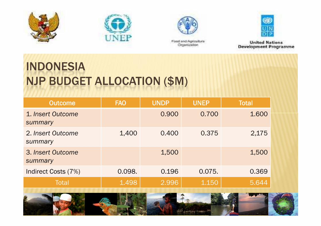
INDONESIA
NJP BUDGET ALLOCATION ($M)
OutcomeOutcomeOutcomeOutcome FAOFAOFAOFAO UNDPUNDPUNDPUNDP UNEPUNEPUNEPUNEP TotalTotalTotalTotal
1. Insert Outcome 0.900 0.700 1.6001. Insert Outcome
summary
0.900 0.700 1.600
2. Insert Outcome
summary
1,400 0.400 0.375 2,175
3. Insert Outcome
summary
1,500 1,500
Indirect Costs (7%) 0.098. 0.196 0.075. 0.369
Total 1.498 2.996 1.150 5.644
� Panama Meeting Panama Meeting Panama Meeting Panama Meeting
� (Approved with a note)(Approved with a note)(Approved with a note)(Approved with a note)
� Recommended additional stakeholder Recommended additional stakeholder Recommended additional stakeholder Recommended additional stakeholder
consultation before the NJP is signed consultation before the NJP is signed consultation before the NJP is signed consultation before the NJP is signed consultation before the NJP is signed consultation before the NJP is signed consultation before the NJP is signed consultation before the NJP is signed
and funds are released.and funds are released.and funds are released.and funds are released.
RESPONSE
� ConsultationConsultationConsultationConsultation with IPs, NGOs, otherswith IPs, NGOs, otherswith IPs, NGOs, otherswith IPs, NGOs, others
� Synergizing :Synergizing :Synergizing :Synergizing :
National strategyNational strategyNational strategyNational strategy
2222ndndndnd UNREDD Mission to IndonesiaUNREDD Mission to IndonesiaUNREDD Mission to IndonesiaUNREDD Mission to Indonesia2222ndndndnd UNREDD Mission to IndonesiaUNREDD Mission to IndonesiaUNREDD Mission to IndonesiaUNREDD Mission to Indonesia
� Revised NJP based on inputs from Revised NJP based on inputs from Revised NJP based on inputs from Revised NJP based on inputs from consultationconsultationconsultationconsultation

� One Programme – not 3 UN Agency projects� One Results Framework, one work plan
� All 3 UN Agencies will use uniform approach to
interacting with national implementing partners
One PMU to manage the implementation of the NJP � One PMU to manage the implementation of the NJP
across UN Agency allocations and funding streams
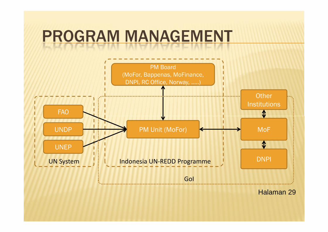
PROGRAM MANAGEMENT
PM Board
(MoFor, Bappenas, MoFinance,
DNPI, RC Office, Norway, ..…)
FAO
Other
Institutions
UNDP
UNEP
PM Unit (MoFor) MoF
DNPIUN System Indonesia UN-REDD Programme
GoI
Halaman 29
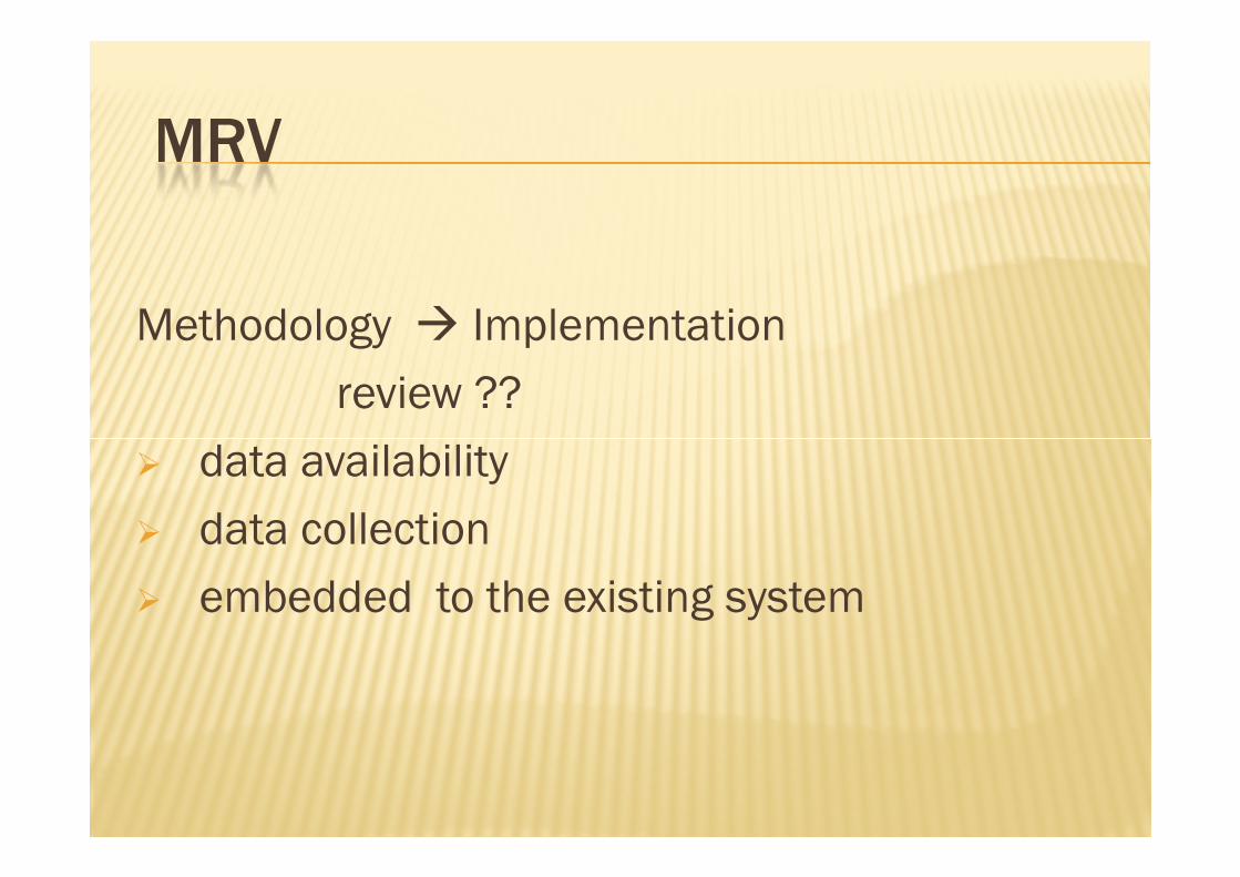
MRV
Methodology � Implementation
review ??
data availability � data availability
� data collection
� embedded to the existing system
REDD
� Science / knowledge � commitment
� training ??
� position / existing business
�Understand,
�Benefit,
�Role / participation,
�Responsibilities,
�Mechanism /system / custom / habit.

FRIS & FRIS & IINCASNCAS
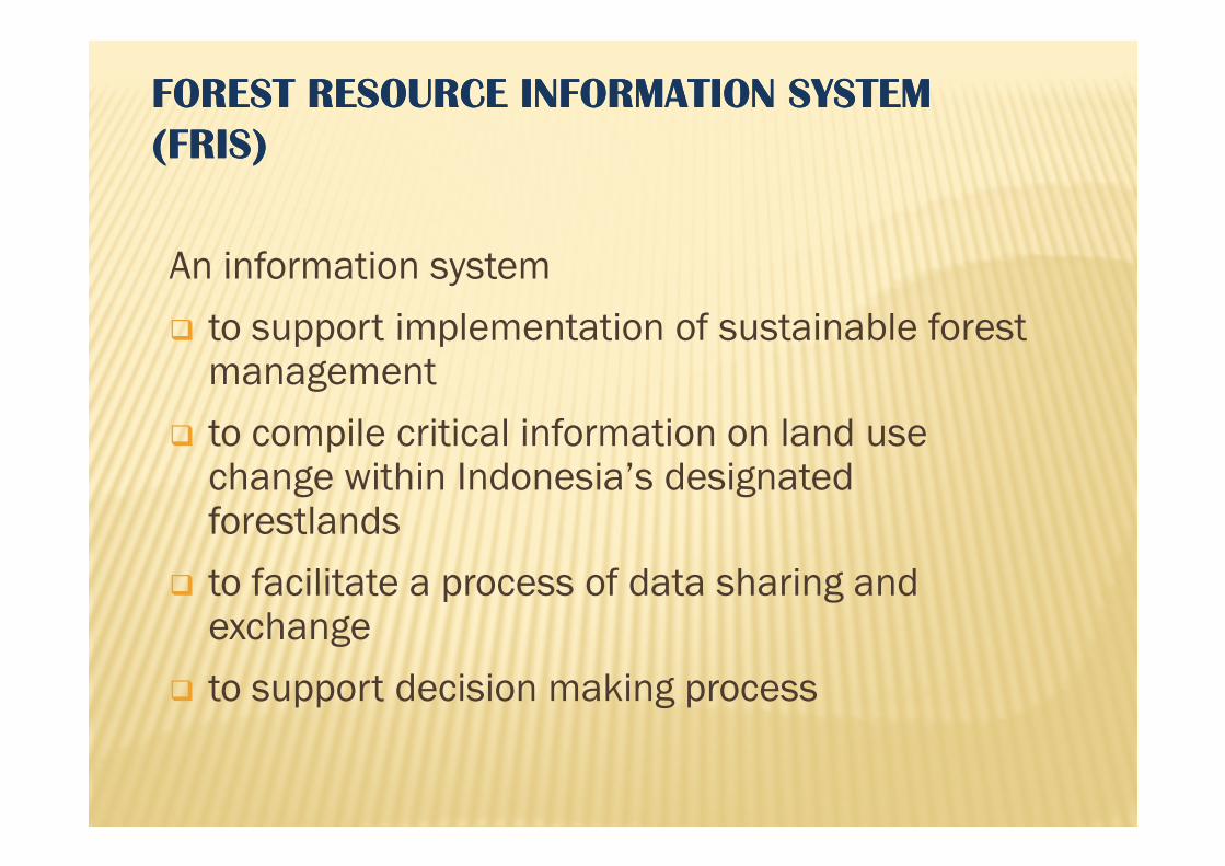
FOREST RESOURCE INFORMATION SYSTEMFOREST RESOURCE INFORMATION SYSTEM
((FRISFRIS))
An information system
� to support implementation of sustainable forest management
� to compile critical information on land use � to compile critical information on land use change within Indonesia’s designated forestlands
� to facilitate a process of data sharing and exchange
� to support decision making process
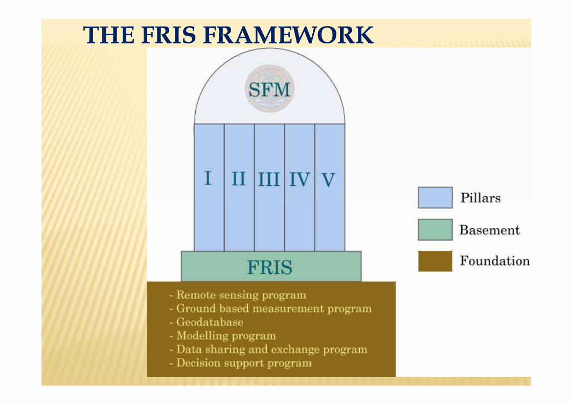
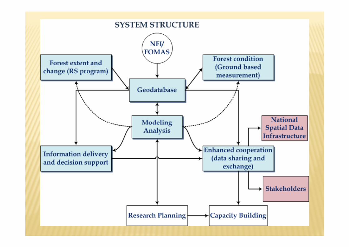
THE FRIS FRAMEWORKTHE FRIS FRAMEWORK
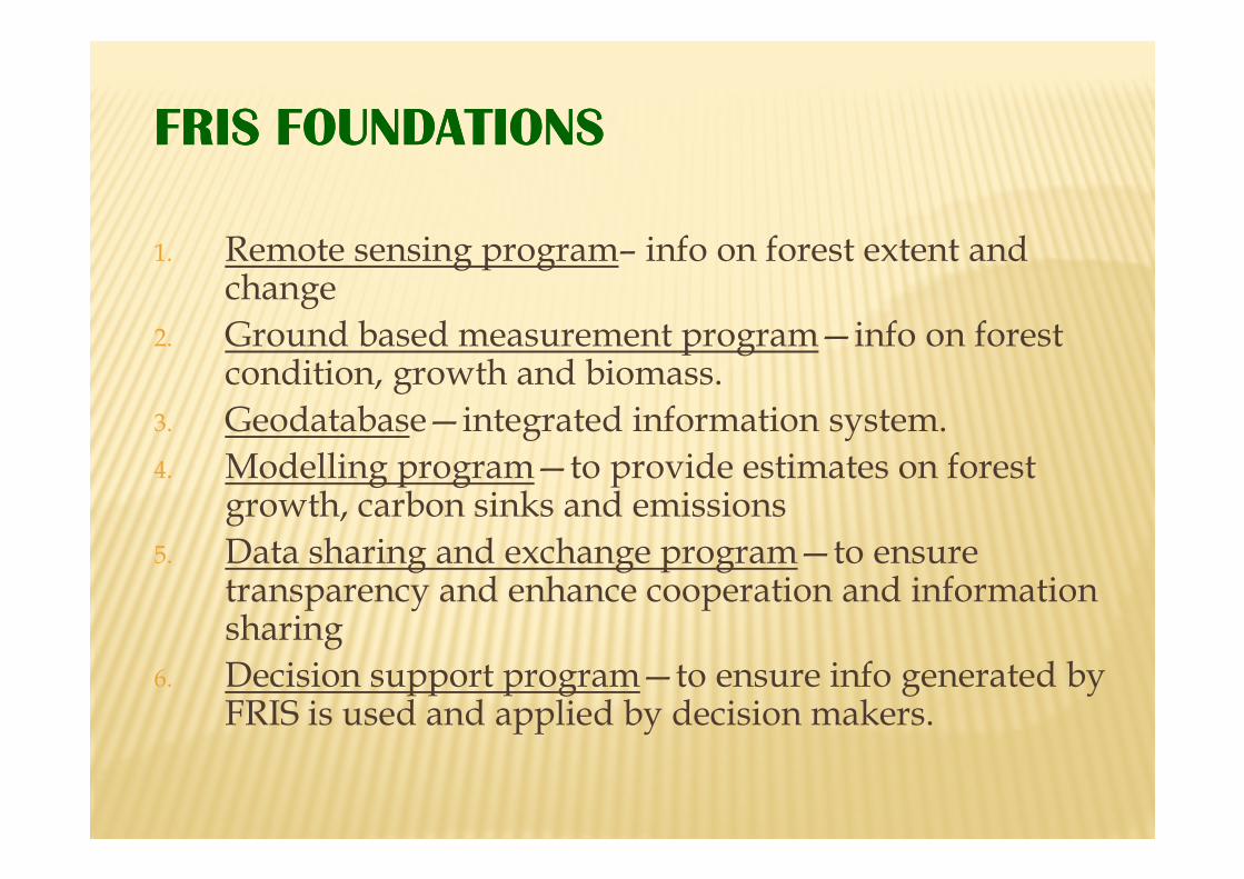
FRIS FOUNDATIONSFRIS FOUNDATIONS
1. Remote sensing program– info on forest extent and change
2. Ground based measurement program—info on forest condition, growth and biomass.
3. Geodatabase—integrated information system.Geodatabase—integrated information system.
4. Modelling program—to provide estimates on forest growth, carbon sinks and emissions
5. Data sharing and exchange program—to ensure transparency and enhance cooperation and information sharing
6. Decision support program—to ensure info generated by FRIS is used and applied by decision makers.
INDONESIA’S NATIONAL CARBON INDONESIA’S NATIONAL CARBON INDONESIA’S NATIONAL CARBON INDONESIA’S NATIONAL CARBON
ACCOUNTING SYSTEMACCOUNTING SYSTEMACCOUNTING SYSTEMACCOUNTING SYSTEM (INCAS)(INCAS)(INCAS)(INCAS)
• Provide a comprehensive and credible account of Indonesia’s land based emissions profile and sinks capacity.
• Support Indonesia’s reporting requirements under the UNFCCC and a Reduced Emissions from Deforestation and Forest Degradation (REDD)
KEY CRITERIA FOR INCAS– Nationally consistent
– Monitor change (emissions and removals)
– Develop baselines and reference years
– Report at relevant spatial scales (<1ha units)
– Report at relevant temporal scales (annual)– Report at relevant temporal scales (annual)
– Account for all pools (biomass, dead organic matter
and soil) and gases (CO2 and non-CO2)
– Meet all reporting requirements (UNFCCC, Kyoto,
REDD, markets, policy development)
INCAS COMPONENTS
The INCAS will be an integrated system to compile
information from all of Indonesia’s lands to provide a
robust emissions profile derived from:
• Remotely sensed land cover change data• Remotely sensed land cover change data
• Land use and management data
• Climate and soil data
• Growth and biomass data
• Spatial and temporal ecosystem modeling
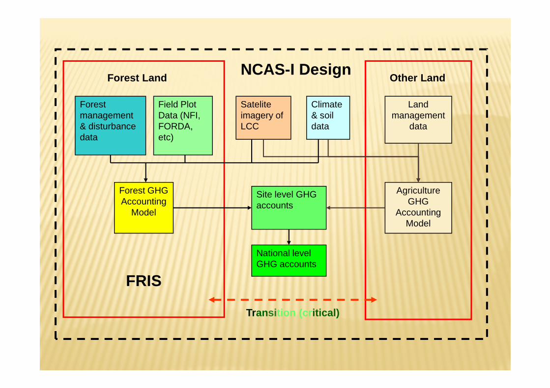
Satelite imagery of LCC
Forest management & disturbance data
Forest GHG Site level GHG
Field Plot Data (NFI, FORDA, etc)
Forest LandNCAS-I Design
Land management
data
Agriculture
Climate & soil data
Other Land
Forest GHG Accounting
Model
Site level GHG accounts
National level GHG accounts
Transition (critical)
Agriculture GHG
Accounting Model
FRIS
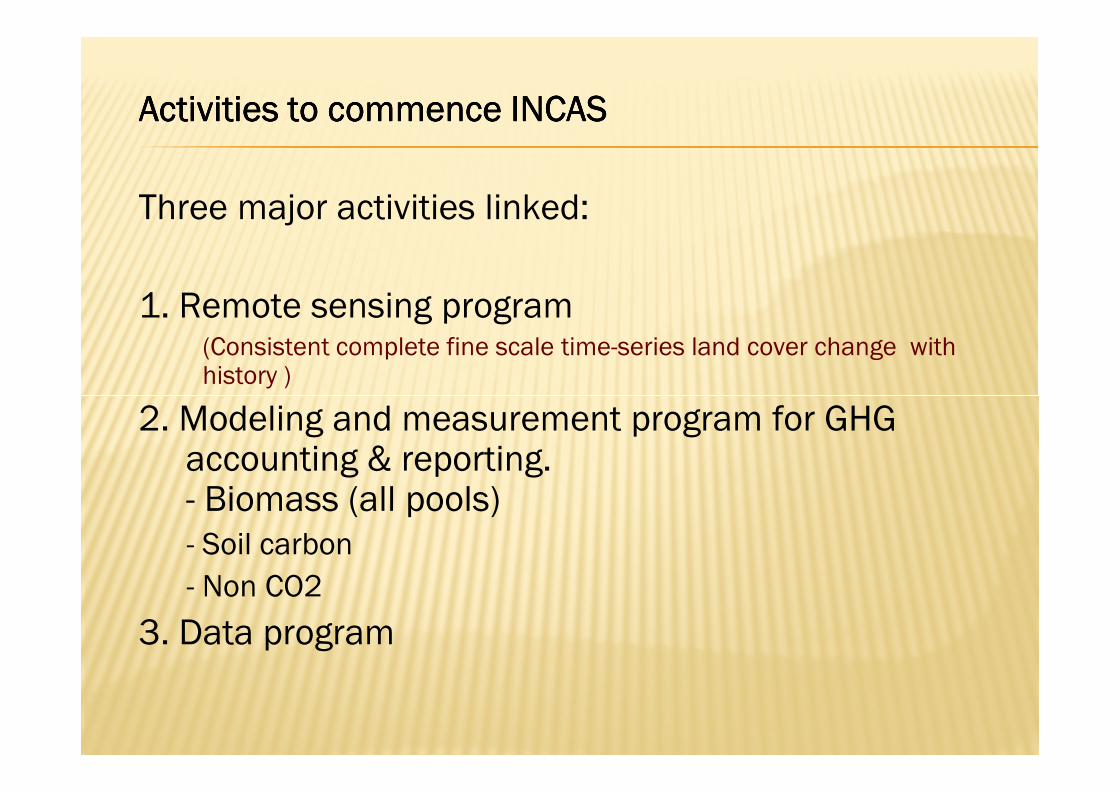
AAAActivitiesctivitiesctivitiesctivities to commence to commence to commence to commence IIIINCASNCASNCASNCAS
Three major activities linked:
1. Remote sensing program (Consistent complete fine scale time-series land cover change with history )
2. Modeling and measurement program for GHG2. Modeling and measurement program for GHGaccounting & reporting. - Biomass (all pools)- Soil carbon
- Non CO2
3. Data program
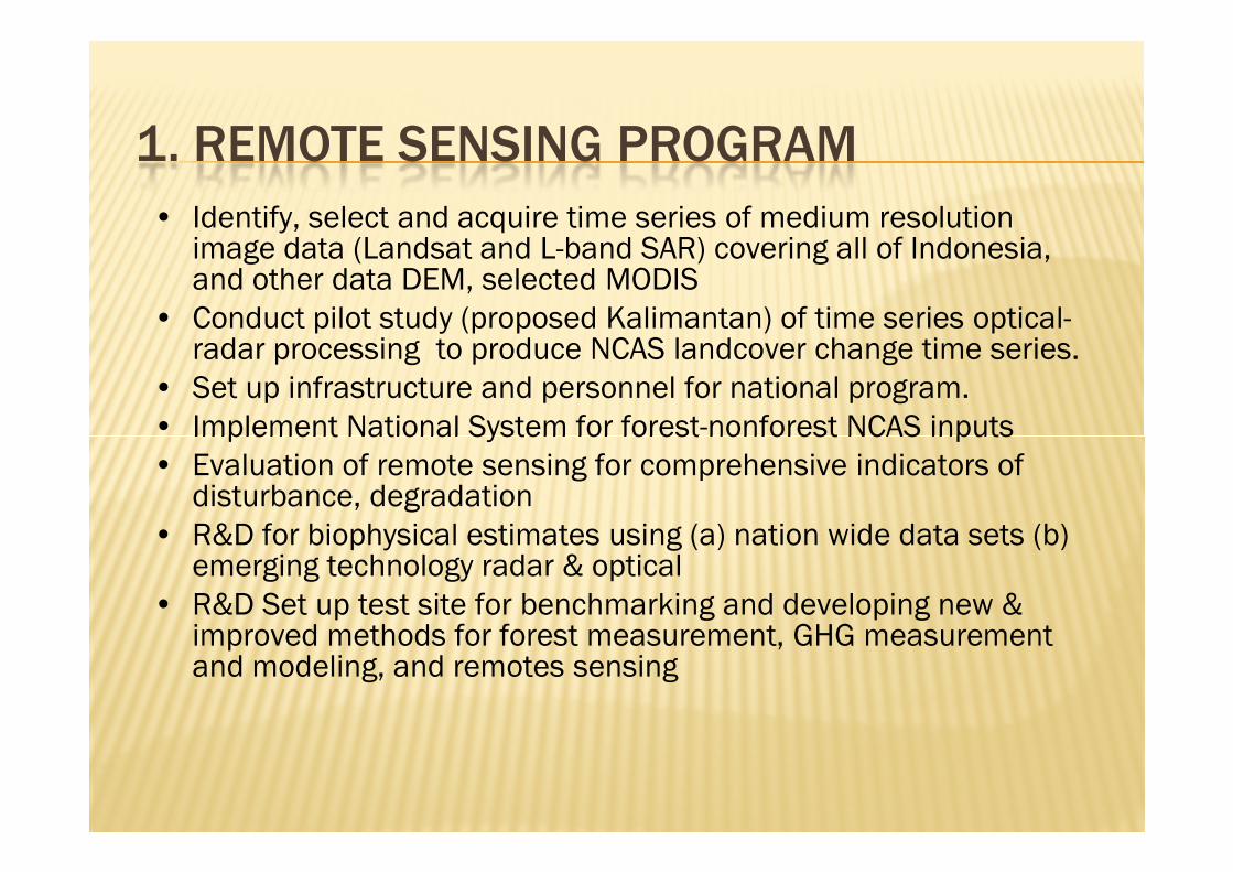
1. REMOTE SENSING PROGRAM
• Identify, select and acquire time series of medium resolution image data (Landsat and L-band SAR) covering all of Indonesia, and other data DEM, selected MODIS
• Conduct pilot study (proposed Kalimantan) of time series optical-radar processing to produce NCAS landcover change time series.
• Set up infrastructure and personnel for national program.
• Implement National System for forest-nonforest NCAS inputs• Implement National System for forest-nonforest NCAS inputs
• Evaluation of remote sensing for comprehensive indicators of disturbance, degradation
• R&D for biophysical estimates using (a) nation wide data sets (b) emerging technology radar & optical
• R&D Set up test site for benchmarking and developing new & improved methods for forest measurement, GHG measurement and modeling, and remotes sensing
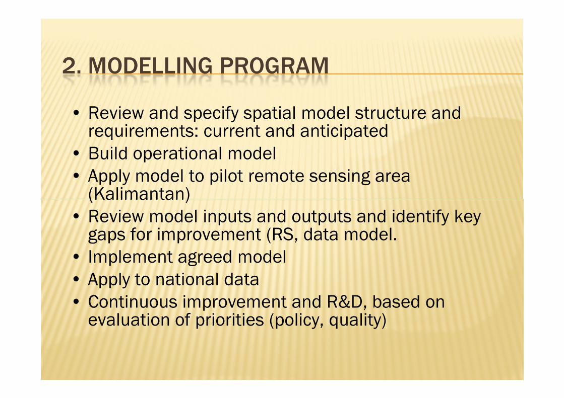
2. MODELLING PROGRAM
• Review and specify spatial model structure and requirements: current and anticipated
• Build operational model
• Apply model to pilot remote sensing area (Kalimantan)(Kalimantan)
• Review model inputs and outputs and identify key gaps for improvement (RS, data model.
• Implement agreed model
• Apply to national data
• Continuous improvement and R&D, based on evaluation of priorities (policy, quality)
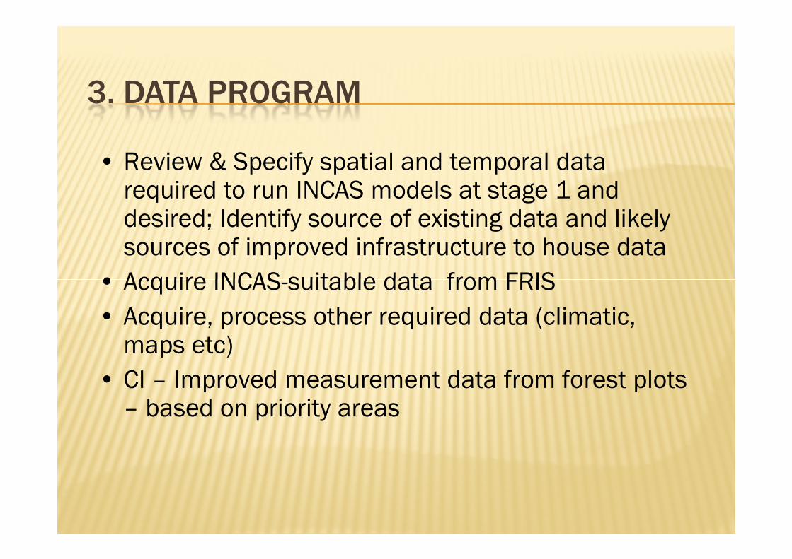
3. DATA PROGRAM
• Review & Specify spatial and temporal data required to run INCAS models at stage 1 and desired; Identify source of existing data and likely sources of improved infrastructure to house data
• Acquire INCAS-suitable data from FRIS• Acquire INCAS-suitable data from FRIS
• Acquire, process other required data (climatic, maps etc)
• CI – Improved measurement data from forest plots – based on priority areas
FRIS
Range of
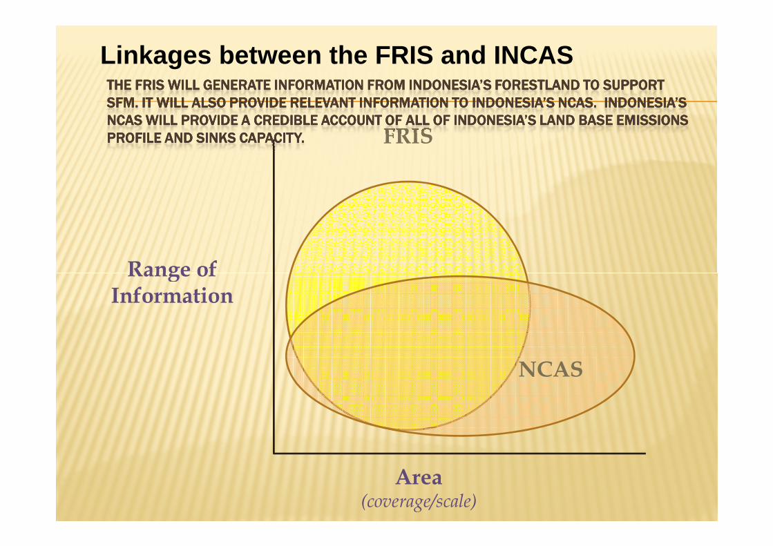
THE FRIS WILL GENERATE INFORMATION FROM INDONESIA’S FORESTLAND TTHE FRIS WILL GENERATE INFORMATION FROM INDONESIA’S FORESTLAND TTHE FRIS WILL GENERATE INFORMATION FROM INDONESIA’S FORESTLAND TTHE FRIS WILL GENERATE INFORMATION FROM INDONESIA’S FORESTLAND TO SUPPORT O SUPPORT O SUPPORT O SUPPORT
SFM. IT WILL ALSO PROVIDE RELEVANT INFORMATION TO INDONESIA’S NCSFM. IT WILL ALSO PROVIDE RELEVANT INFORMATION TO INDONESIA’S NCSFM. IT WILL ALSO PROVIDE RELEVANT INFORMATION TO INDONESIA’S NCSFM. IT WILL ALSO PROVIDE RELEVANT INFORMATION TO INDONESIA’S NCAS. INDONESIA’S AS. INDONESIA’S AS. INDONESIA’S AS. INDONESIA’S
NCAS WILL PROVIDE A CREDIBLE ACCOUNT OF ALL OF INDONESIA’S LAND NCAS WILL PROVIDE A CREDIBLE ACCOUNT OF ALL OF INDONESIA’S LAND NCAS WILL PROVIDE A CREDIBLE ACCOUNT OF ALL OF INDONESIA’S LAND NCAS WILL PROVIDE A CREDIBLE ACCOUNT OF ALL OF INDONESIA’S LAND BASE EMISSIONS BASE EMISSIONS BASE EMISSIONS BASE EMISSIONS
PROFILE AND SINKS CAPACITY. PROFILE AND SINKS CAPACITY. PROFILE AND SINKS CAPACITY. PROFILE AND SINKS CAPACITY.
Linkages between the FRIS and INCAS
NCAS
Area(coverage/scale)
Range ofInformation
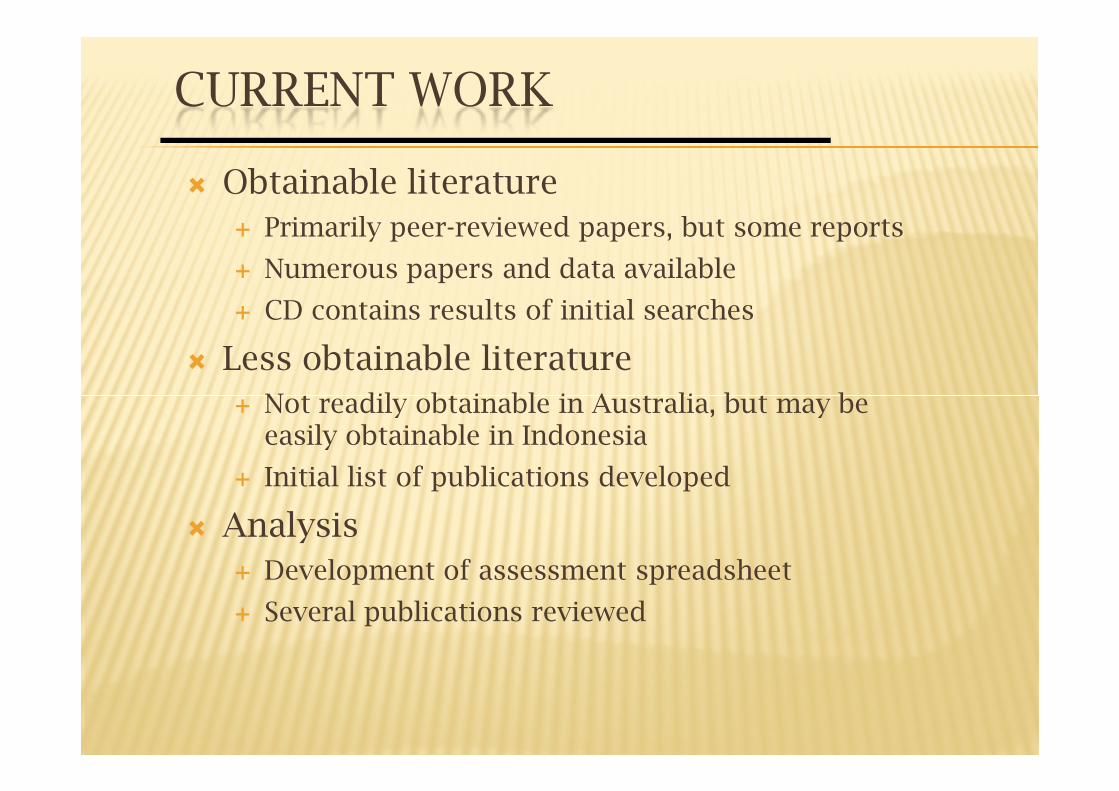
CURRENT WORK
� Obtainable literature
� Primarily peer-reviewed papers, but some reports
� Numerous papers and data available
� CD contains results of initial searches
� Less obtainable literature
Not readily obtainable in Australia, but may be � Not readily obtainable in Australia, but may be easily obtainable in Indonesia
� Initial list of publications developed
� Analysis
� Development of assessment spreadsheet
� Several publications reviewed
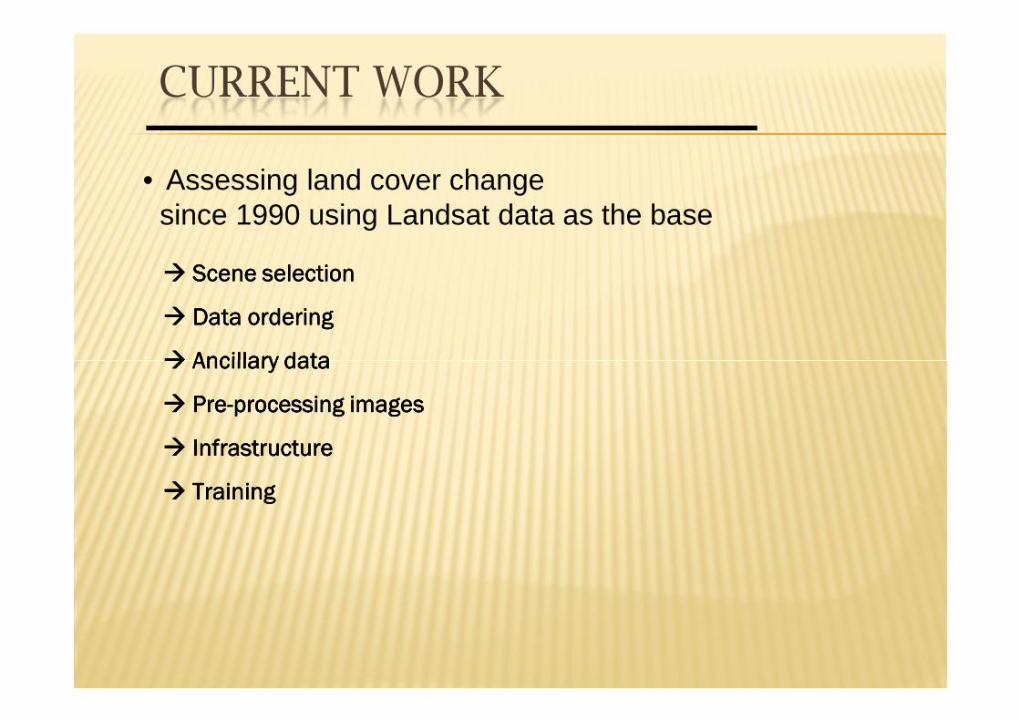
• Assessing land cover change since 1990 using Landsat data as the base
���� Scene selectionScene selectionScene selectionScene selection
���� Data orderingData orderingData orderingData ordering
���� Ancillary dataAncillary dataAncillary dataAncillary data
CURRENT WORK
���� Ancillary dataAncillary dataAncillary dataAncillary data
���� PrePrePrePre----processing imagesprocessing imagesprocessing imagesprocessing images
���� InfrastructureInfrastructureInfrastructureInfrastructure
���� TrainingTrainingTrainingTraining
ADDITIONAL DATA REQUIREMENTS
� Require additional information
� Forest type or species
� Broad classifications
� Management or disturbance history
Harvesting, fire etc� Harvesting, fire etc
� Soil type
� Climate
� Elevation
� Allometric equation used.
CRITICAL ANALYSIS ISSUES:
� Methods used to estimate biomass – are they suitable?
� Destructive sampling
� Volume and density conversions
� Generalised allometric equations
� Species specific allometric equations
� Sampling
� Were there enough trees sampled?
� Is the sample representative?
� Match methods of land area estimation
� Was carbon content assessed?
Terima kasihTerima kasihTerima kasihTerima kasih
Thank youThank youThank youThank you
Related Documents


