Collection of Critical Infrastructure Data by Regional Planning Commissions in Missouri Ray Fox USGS Geospatial Data Liaison To Missouri, Nebraska, and Oklahoma April 25, 2006 MAGIC Conference

Collection of Critical Infrastructure Data by Regional Planning Commissions in Missouri Ray Fox USGS Geospatial Data Liaison To Missouri, Nebraska, and.
Dec 14, 2015
Welcome message from author
This document is posted to help you gain knowledge. Please leave a comment to let me know what you think about it! Share it to your friends and learn new things together.
Transcript
Collection of Critical Infrastructure Data by Regional
Planning Commissions in Missouri
Ray FoxUSGS Geospatial Data Liaison
To Missouri, Nebraska, and OklahomaApril 25, 2006
MAGIC Conference
MSDIS CAP Grant
• The University of Missouri’s Spatial Data Information Service (MSDIS) received a Federal Geographic Data Committee (FGDC) Cooperative Agreement Grant in September, 2004.
• MSDIS proposed becoming the Missouri National Map Coordination and Support Center.
MSDIS CAP Grant
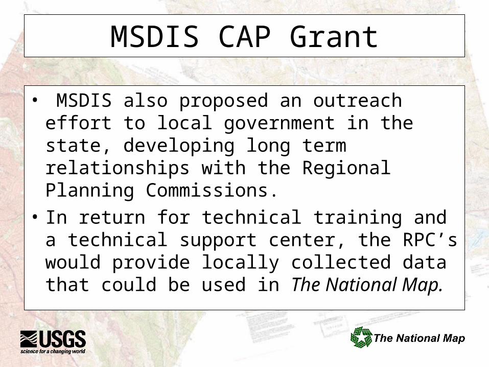
• MSDIS also proposed an outreach effort to local government in the state, developing long term relationships with the Regional Planning Commissions.
• In return for technical training and a technical support center, the RPC’s would provide locally collected data that could be used in The National Map.

What makes up The National Map
• The National Map is a consistent framework for geographic knowledge needed by the Nation. It provides public access to high-quality, geospatial data and information from multiple partners to help support decision making by resource managers and the public. The National Map is the product of a consortium of Federal, State, and local partners who provide geospatial data to enhance America's ability to access, integrate, and apply geospatial data at global, national, and local scales.
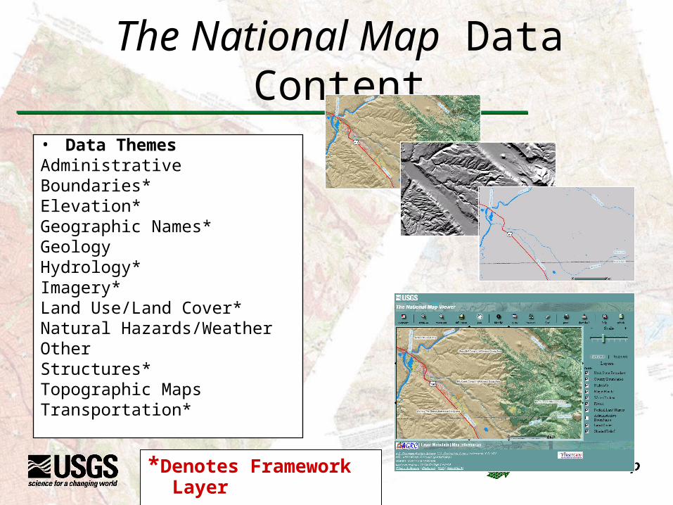
The National Map Data Content
• Data ThemesAdministrativeBoundaries*Elevation*Geographic Names*GeologyHydrology*Imagery*Land Use/Land Cover*Natural Hazards/WeatherOtherStructures*Topographic MapsTransportation*
*Denotes Framework Layer
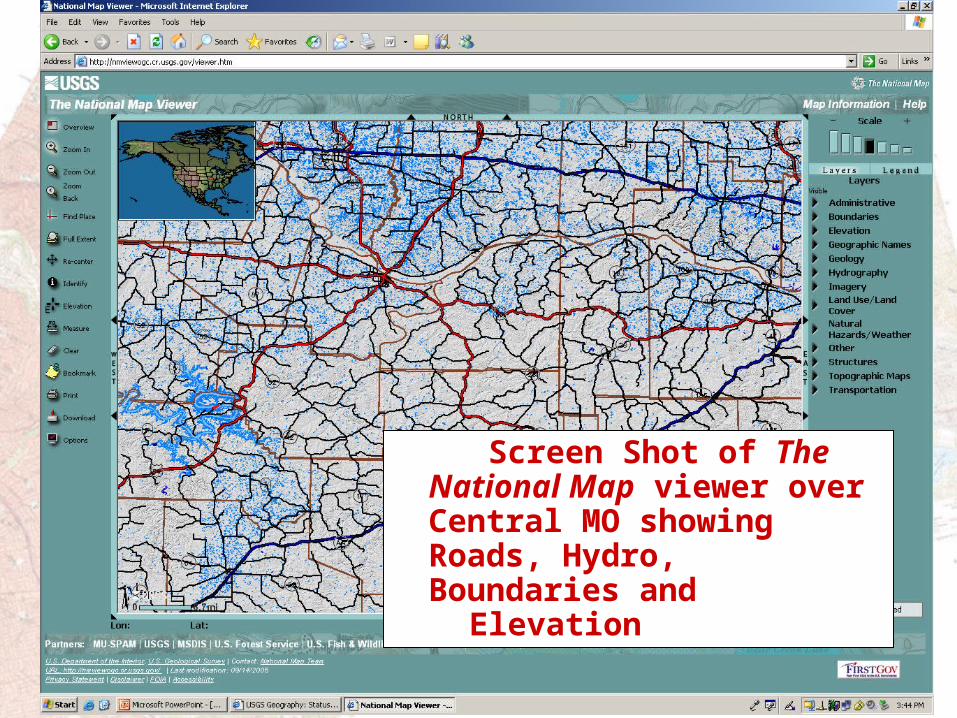
Screen Shot of The National Map viewer over Central MO showing Roads, Hydro, Boundaries and
Elevation
MSDIS CAP GrantHow to entice local government to contribute
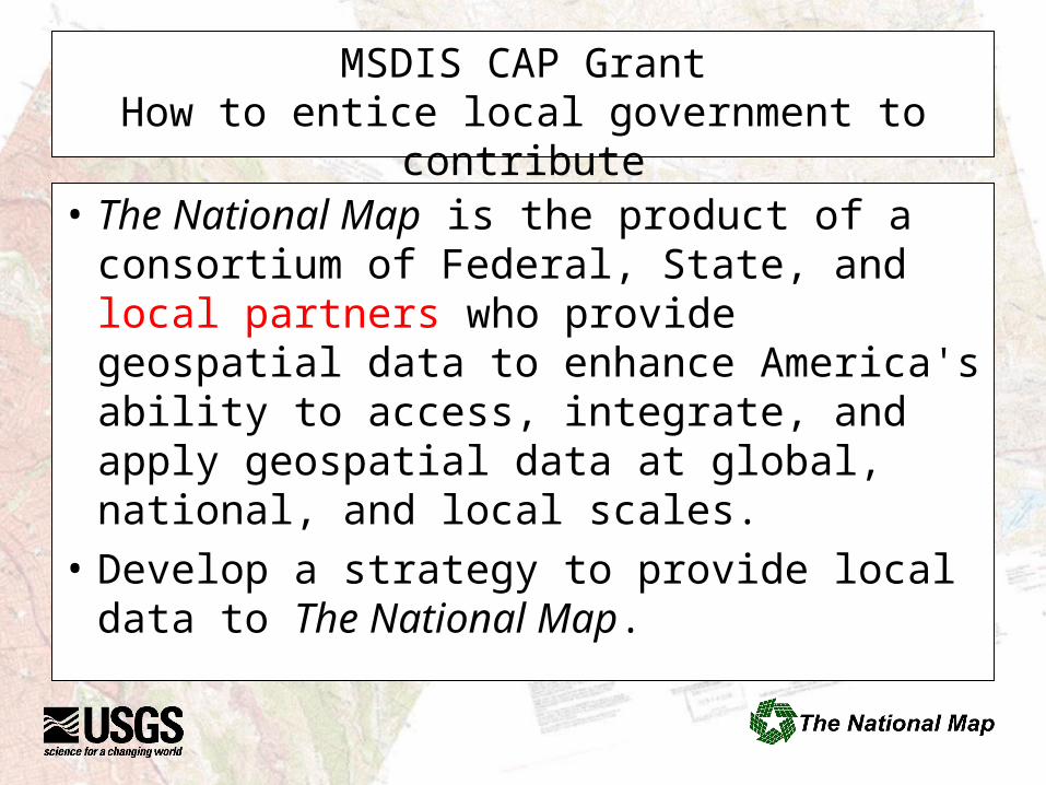
• The National Map is the product of a consortium of Federal, State, and local partners who provide geospatial data to enhance America's ability to access, integrate, and apply geospatial data at global, national, and local scales.
• Develop a strategy to provide local data to The National Map.
MSDIS-USGS Strategy
• Missouri has 115 Counties and numerous cities that may be collecting and or using geospatial data.
• Neither MSDIS or USGS has the resources to contact and develop relationships with the 115 counties, let alone cities and regional governments
Develop a Partnership with MACOG
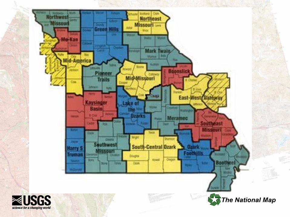
• Missouri Association of Councils of Government (MACOG) represents the 19 Regional Councils of Government in the State.
• The National Map Partnership Agreement signed by MACOG, MSDIS, and USGS.
• All 19 RPC’s signed addendums to the agreement.
Addendum to the MACOG Agreement
Purpose:This addendum to the MOU adds the Mid-America Regional Council (RPC)as a partner to The National Map. The RPC will receive training and limited technical support from the University of Missouri-Missouri Spatial Data Information System (MSDIS) in Geographic Information System (GIS) development and use, and may include web mapping service (WMS) training and support if the RPC plans on operating a WMS. USGS will provide assistance including software templates for creating Federal Geographic DataCommittee (FGDC) compliant metadata as needed. Unless expressly stated below, all terms and conditions as stated in the MOU apply to the RPC upon signing this addendum. A separate addendum will be used for each RPC that wishes to become a partner.
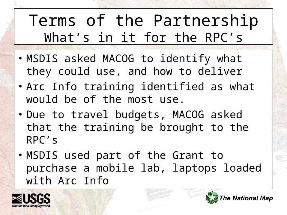
Terms of the PartnershipWhat’s in it for the RPC’s
• MSDIS asked MACOG to identify what they could use, and how to deliver
• Arc Info training identified as what would be of the most use.
• Due to travel budgets, MACOG asked that the training be brought to the RPC’s
• MSDIS used part of the Grant to purchase a mobile lab, laptops loaded with Arc Info
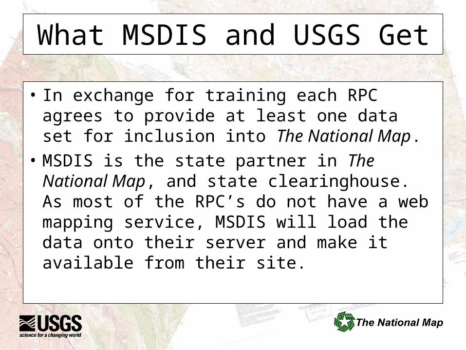
What MSDIS and USGS Get
• In exchange for training each RPC agrees to provide at least one data set for inclusion into The National Map.
• MSDIS is the state partner in The National Map, and state clearinghouse. As most of the RPC’s do not have a web mapping service, MSDIS will load the data onto their server and make it available from their site.
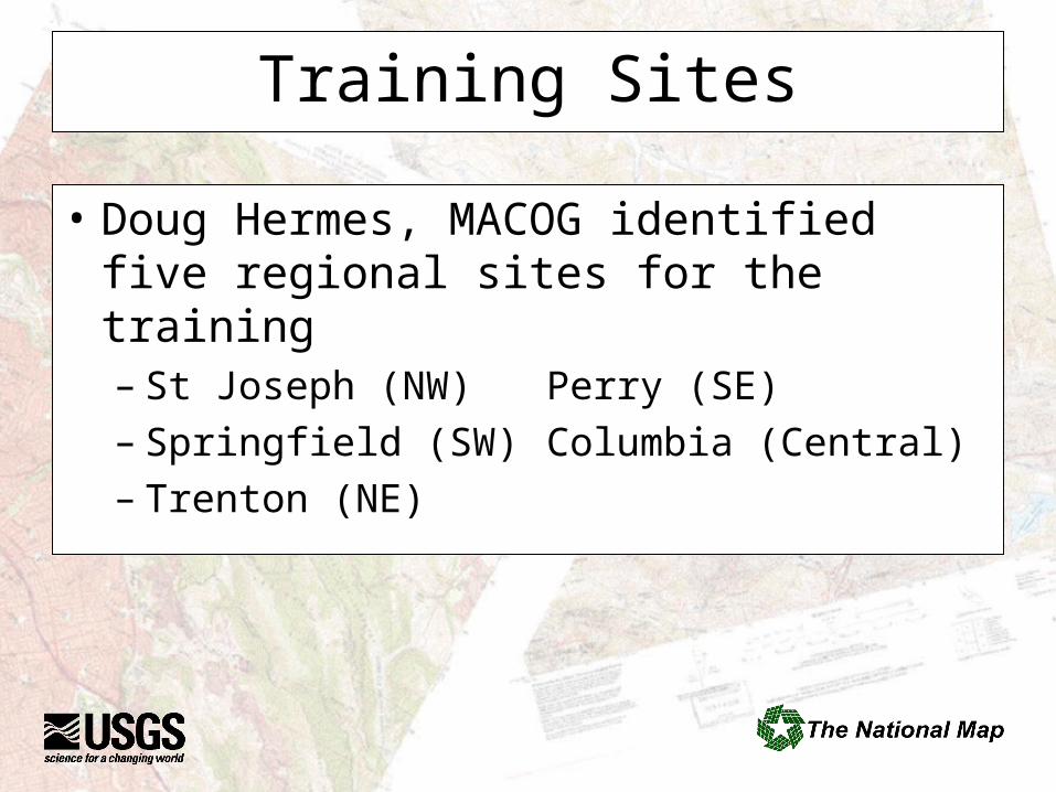
Training Sites
• Doug Hermes, MACOG identified five regional sites for the training– St Joseph (NW) Perry (SE)– Springfield (SW) Columbia (Central)– Trenton (NE)
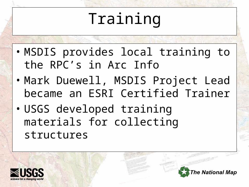
Training
• MSDIS provides local training to the RPC’s in Arc Info
• Mark Duewell, MSDIS Project Lead became an ESRI Certified Trainer
• USGS developed training materials for collecting structures
DRAFT
Key Facilities -Tier 1
for
The National Map
National Structures Dataset
Version 1.0
April 22, 2005
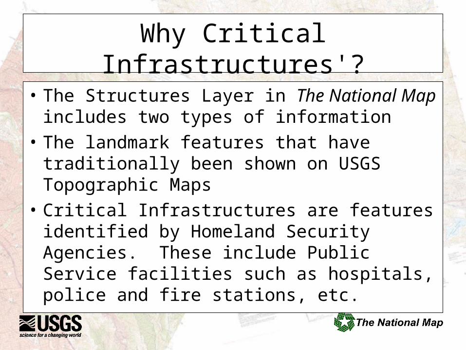
Why Critical Infrastructures'?What’s in it for USGS
• The Structures Layer in The National Map includes two types of information
• The landmark features that have traditionally been shown on USGS Topographic Maps
• Critical Infrastructures are features identified by Homeland Security Agencies. These include Public Service facilities such as hospitals, police and fire stations, etc.
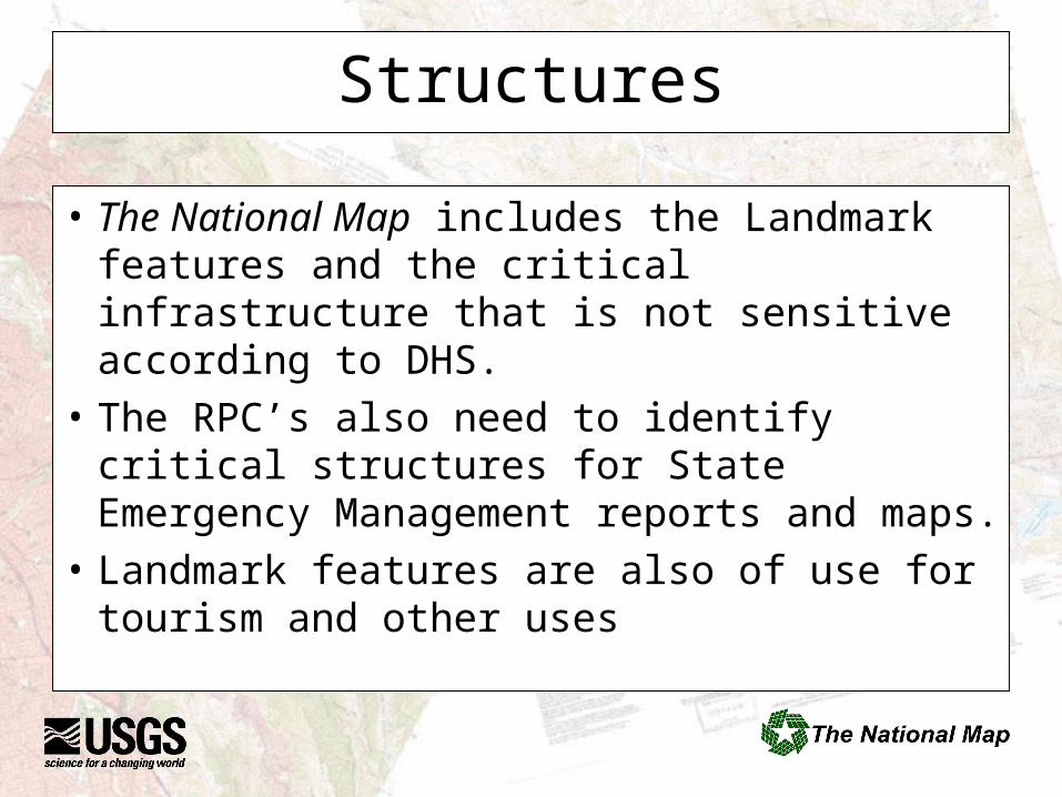
Structures
• The National Map includes the Landmark features and the critical infrastructure that is not sensitive according to DHS.
• The RPC’s also need to identify critical structures for State Emergency Management reports and maps.
• Landmark features are also of use for tourism and other uses
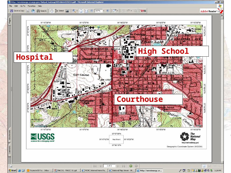
Hospital
Courthouse
High School
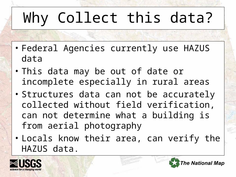
Why Collect this data?
• Federal Agencies currently use HAZUS data
• This data may be out of date or incomplete especially in rural areas
• Structures data can not be accurately collected without field verification, can not determine what a building is from aerial photography
• Locals know their area, can verify the HAZUS data.
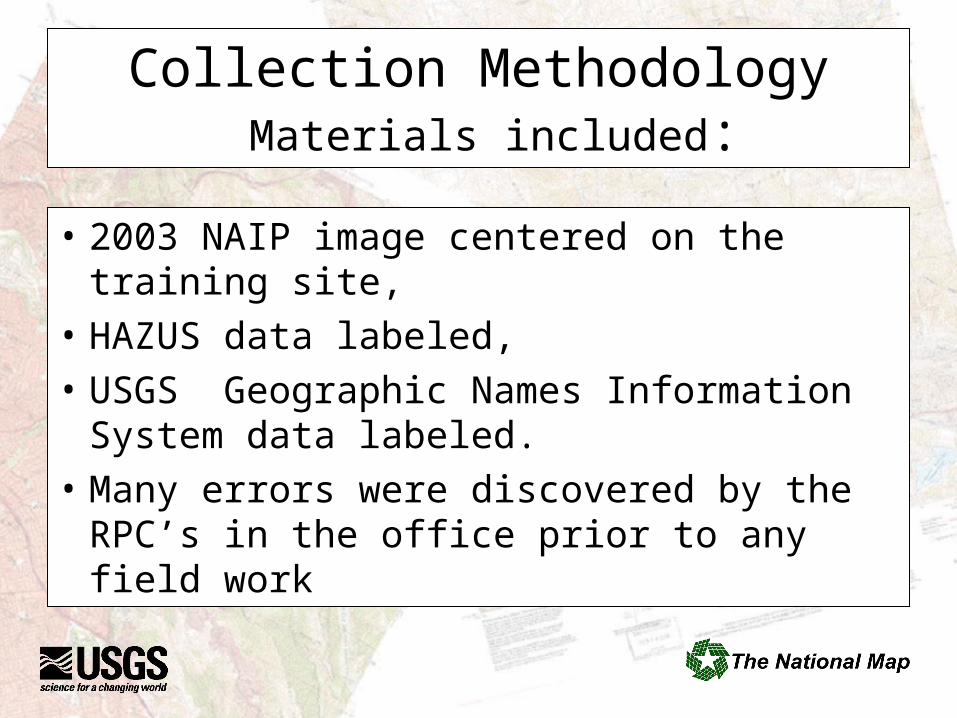
Collection Methodology Materials included:
• 2003 NAIP image centered on the training site,
• HAZUS data labeled,
• USGS Geographic Names Information System data labeled.
• Many errors were discovered by the RPC’s in the office prior to any field work
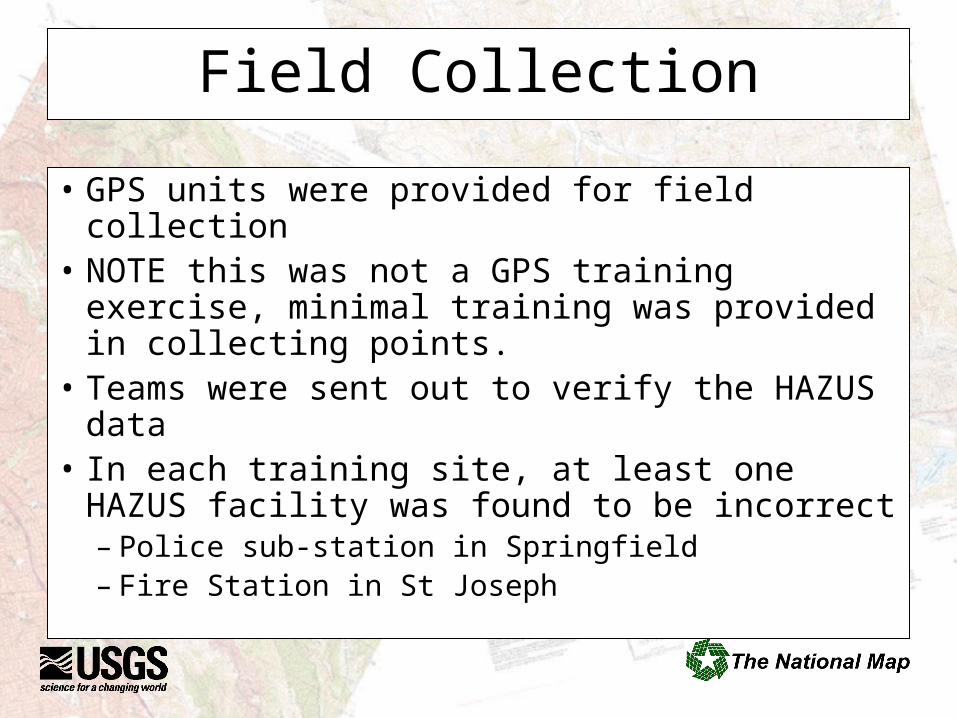
Field Collection
• GPS units were provided for field collection• NOTE this was not a GPS training exercise,
minimal training was provided in collecting points.
• Teams were sent out to verify the HAZUS data• In each training site, at least one HAZUS
facility was found to be incorrect– Police sub-station in Springfield– Fire Station in St Joseph
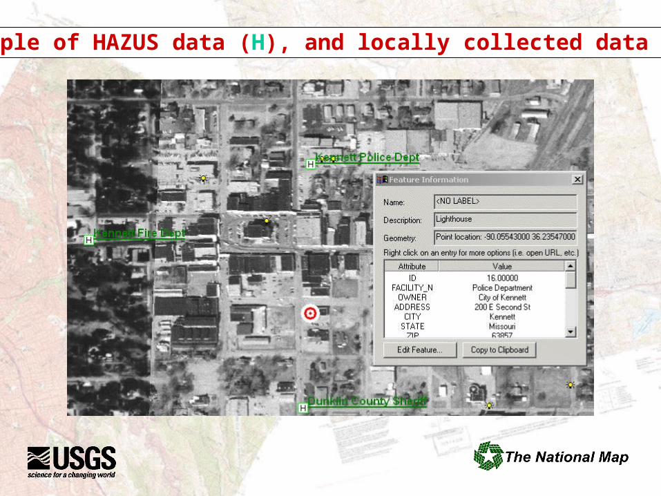
Example of HAZUS data (H), and locally collected data
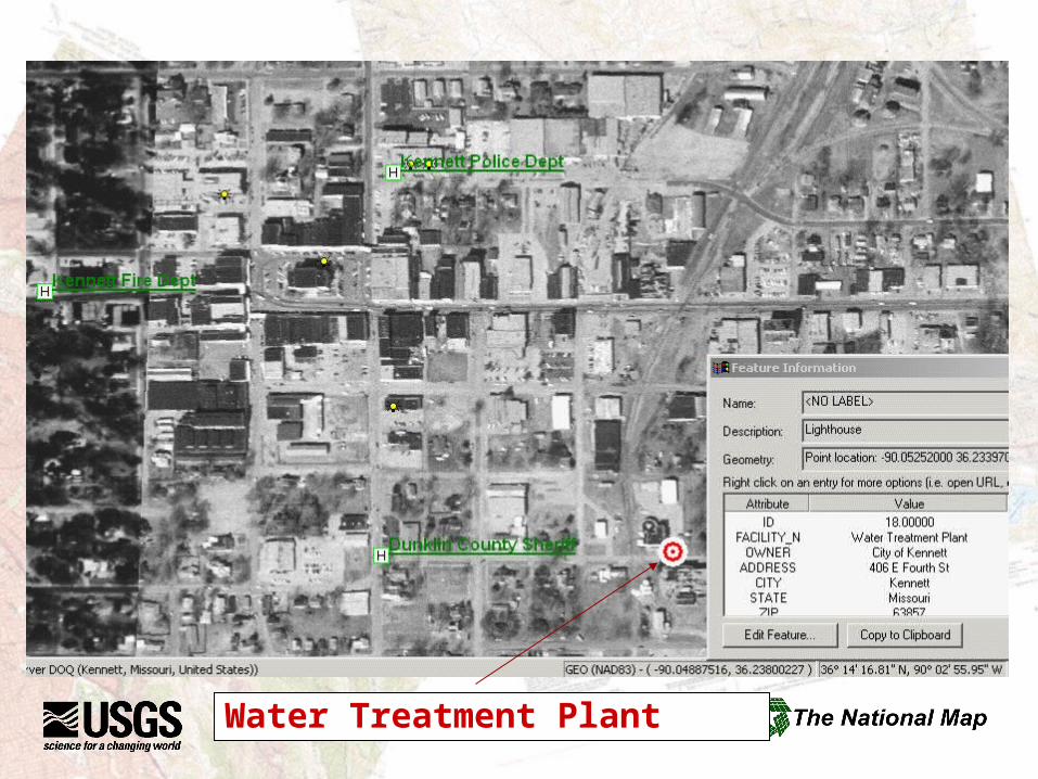
Water Treatment Plant
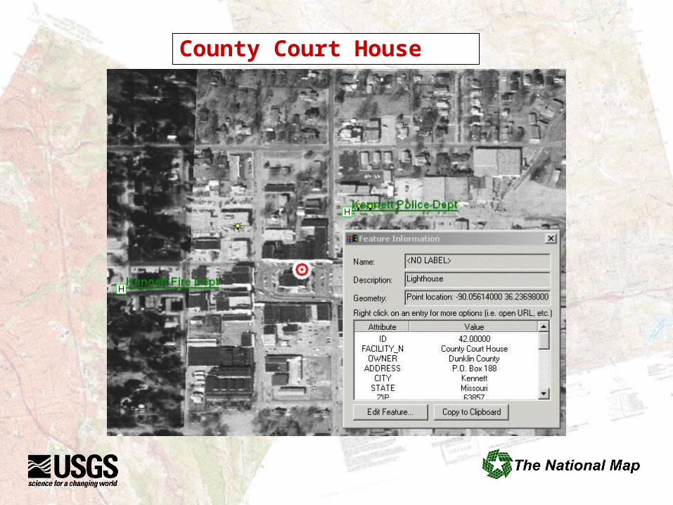
County Court House
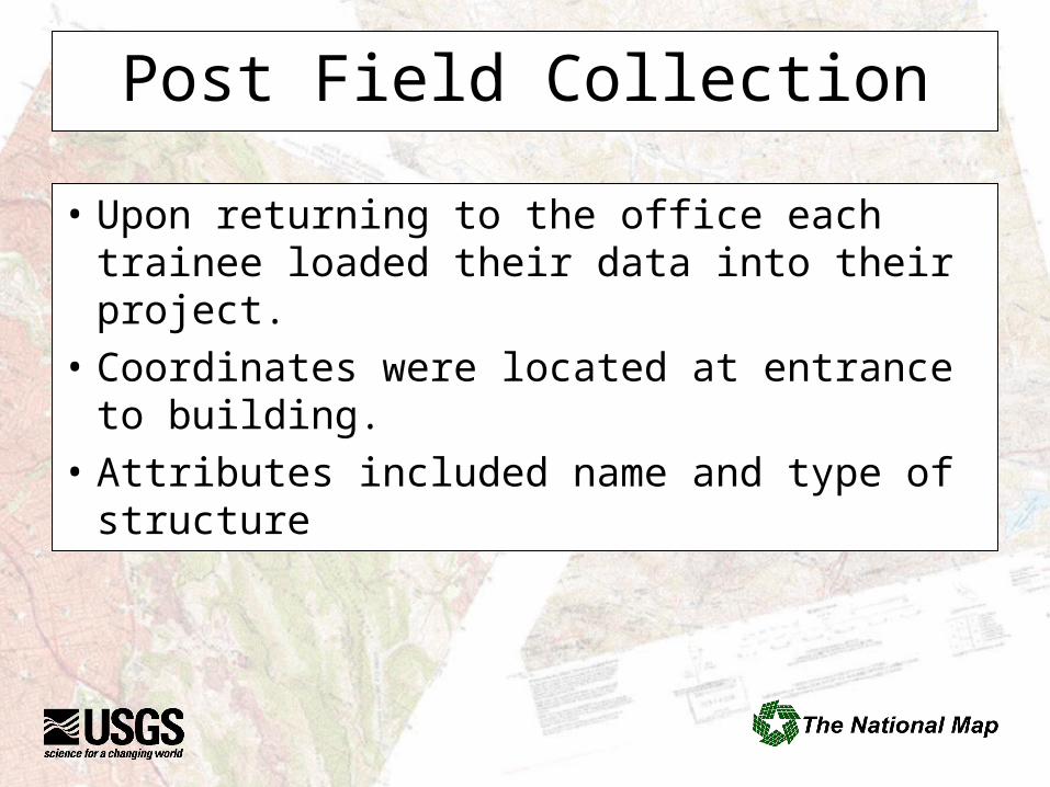
Post Field Collection
• Upon returning to the office each trainee loaded their data into their project.
• Coordinates were located at entrance to building.
• Attributes included name and type of structure
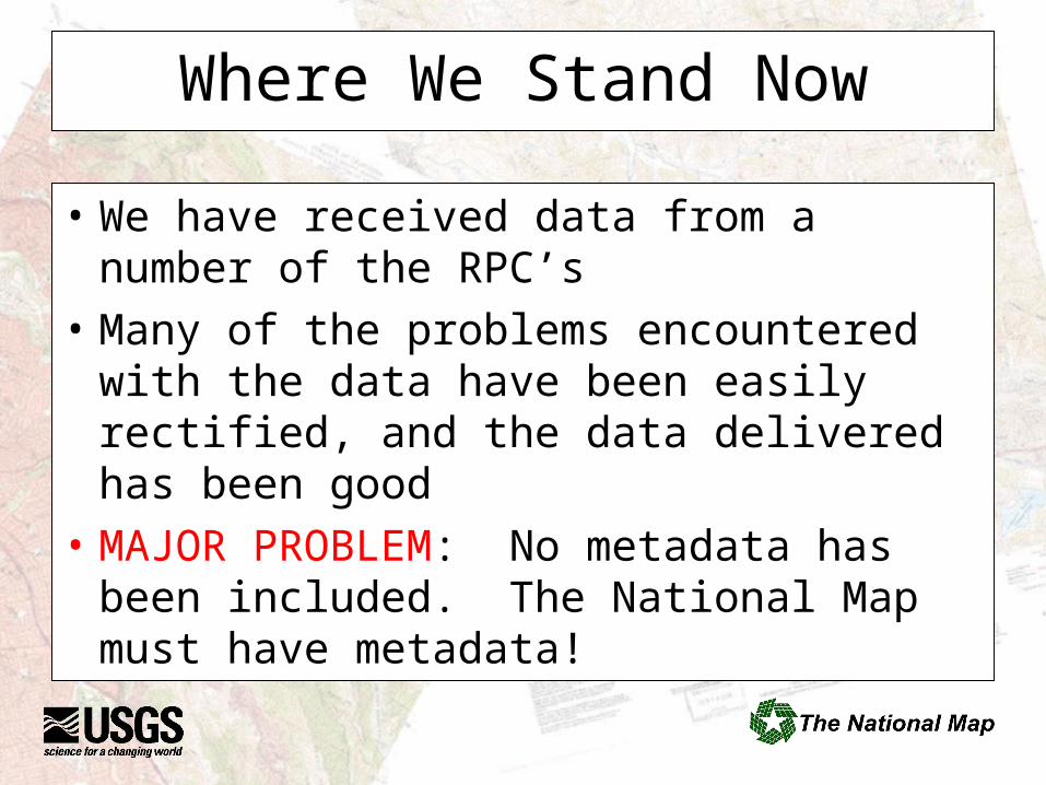
Where We Stand Now
• We have received data from a number of the RPC’s
• Many of the problems encountered with the data have been easily rectified, and the data delivered has been good
• MAJOR PROBLEM: No metadata has been included. The National Map must have metadata!
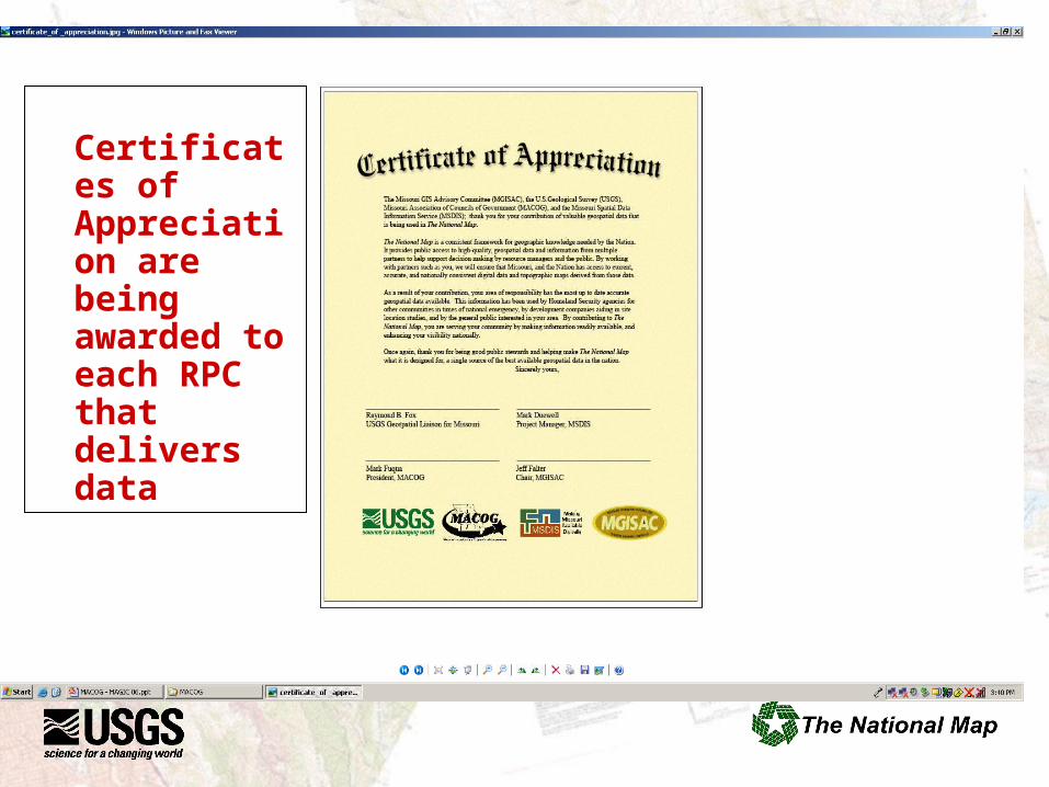
Certificates of Appreciation are being awarded to each RPC that delivers data
Next Steps
• MSDIS again won a FGDC CAP Grant to continue this work. FGDC recognizes this is an innovative way to bring local data, especially from rural areas into the National Spatial Data Infrastructure and The National Map.
• USGS is working with the RPC’s to build metadata for the files delivered.
MSDIS 05 CAP
• MACOG again asked for more ESRI Arc Info training, Geodatabase this year.
• USGS effort will be on correcting common problems found in the data submitted last year.
• Improved collection tools (Excel Spreadsheet)
• Workshop schedule has been set, first took place in St Joseph April 17-20.
Next Steps Continued
• USGS and MSDIS are working on plans to develop metadata training at regional workshops this year.
• Plan is to spend day one on metadata training, day two bring your data and build the metadata while there.
• Resources may be an issue.
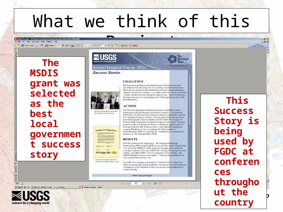
What we think of this Project
The MSDIS grant was selected as the best local government success story
This Success Story is being used by FGDC at conferences throughout the country
Related Documents