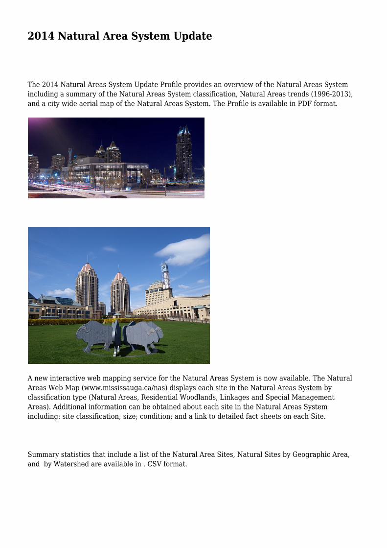
2014 Natural Area System Update The 2014 Natural Areas System Update Profile provides an overview of the Natural Areas System including a summary of the Natural Areas System classification, Natural Areas trends (1996-2013), and a city wide aerial map of the Natural Areas System. The Profile is available in PDF format. A new interactive web mapping service for the Natural Areas System is now available. The Natural Areas Web Map (www.mississauga.ca/nas) displays each site in the Natural Areas System by classification type (Natural Areas, Residential Woodlands, Linkages and Special Management Areas). Additional information can be obtained about each site in the Natural Areas System including: site classification; size; condition; and a link to detailed fact sheets on each Site. Summary statistics that include a list of the Natural Area Sites, Natural Sites by Geographic Area, and by Watershed are available in . CSV format.

Welcome message from author
This document is posted to help you gain knowledge. Please leave a comment to let me know what you think about it! Share it to your friends and learn new things together.
Transcript
2014 Natural Area System Update
The 2014 Natural Areas System Update Profile provides an overview of the Natural Areas Systemincluding a summary of the Natural Areas System classification, Natural Areas trends (1996-2013),and a city wide aerial map of the Natural Areas System. The Profile is available in PDF format.
A new interactive web mapping service for the Natural Areas System is now available. The NaturalAreas Web Map (www.mississauga.ca/nas) displays each site in the Natural Areas System byclassification type (Natural Areas, Residential Woodlands, Linkages and Special ManagementAreas). Additional information can be obtained about each site in the Natural Areas Systemincluding: site classification; size; condition; and a link to detailed fact sheets on each Site.
Summary statistics that include a list of the Natural Area Sites, Natural Sites by Geographic Area,and by Watershed are available in . CSV format.

Also available is a KML file that displayseach of the Natural Areas and associateddetails including site size, classification,condition and landform. The KML file canbe loaded into various Mapping/GISpackages (such as Google Earth, ESRIArcExplorer, etc) for viewing, printing oranalysis.
A concerted effort has been made toensure that the information containedherein is accurate. However, if an
inaccuracy is detected, please advise us at (905) 615-3200 ext. 5556 [email protected] or through twitter @MississaugaData. For more information / dataproducts please visit www.mississauga.ca/data
http://feedproxy.google.com/~r/MississaugaData/~3/oI9_JW1rnbE/publicationnews
Related Documents