Air and Waste Management Association Professional Development Course AIR-257: Satellite Detection of Aerosols Satellite Types

2004-10-14 AIR-257: Satellite Detection of Aerosols Satellite Types
Aug 09, 2015
Welcome message from author
This document is posted to help you gain knowledge. Please leave a comment to let me know what you think about it! Share it to your friends and learn new things together.
Transcript
Air and Waste Management Association Professional Development Course
AIR-257: Satellite Detection of Aerosols
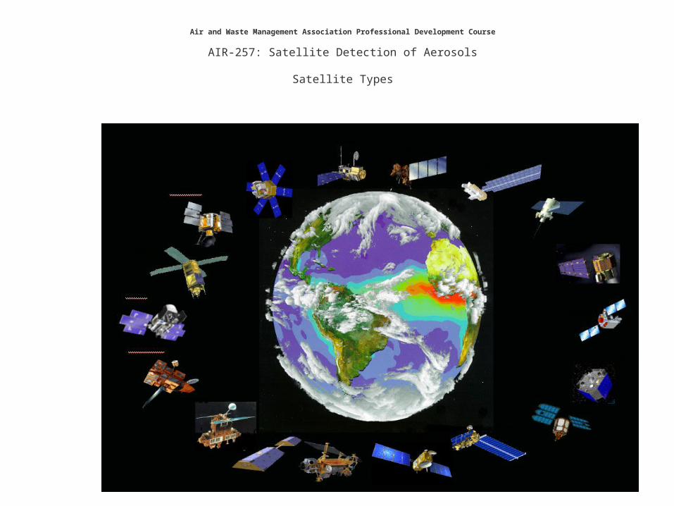
Satellite Types

Syllabus
9:00-9:30 Introduction to satellite aerosol detection and monitoring9:30-10:00 Satellite Types and their Usage10:00-10:30 Satellite detection of aerosol events: fires, dust storms,
haze
10:30-10:45 Break
10:45-11:00 Satellite data and tools for the RPO FASTNET project11:15-11:30 Satellite Data Use in AQ Management: Issues and Opportunities11:30-12:00 Class-defined problems, feedback, discussion, exam(?)

Future Observation and Information Systems

Low Earth Orbit Concepts
Equator
South Pole
Ground track
Ascending node
Inclination angle
Descending node
Orbit
Perigee
Apogee
Orbit
Michael D. King, EOS Senior Project Scientist

Geosynchronous Orbiting Earth SatellitesGOES

Early Satellite Detection of Manmade Haze, 1976
Regional Haze
Low Visibility Hazy ‘Blobs’Lyons W.A., Husar R.B. Mon. Weather Rev. 1976
SMS GOES June 30 1975

Terra-Aqua’s Global Perspective
• MODIS– 1-2 day global coverage in 36
wavelengths from 250 m to 1 km resolution
• MISR– Stereo images at 9 look angles
• ASTER– Hi-resolution, multi-spectral images from
15 m to 90 m resolution, plus stereo
• MOPITT– Global measures of CH4 & CO
• CERES– Measures Earth’s shortwave, longwave,
and net radiant energy budget
Michael D. King, EOS Senior Project Scientist

ASTER
Launched December 18, 1999
MODIS
CERESMISR
MOPITT
Terra
Michael D. King, EOS Senior Project Scientist
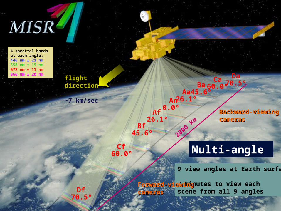
Multi-angle
9 view angles at Earth surface
7 minutes to view eachscene from all 9 angles
flightdirection
~7 km/sec
70.5º
70.5º60.0º45.6º
26.1º0.0º
60.0º
45.6º
26.1º
Forward-viewingcamerasForward-viewingcameras
Backward-viewingcamerasBackward-viewingcameras
Df
DaCaBa
AaAn
Cf
Bf
Af
2800
km
4 spectral bands at each angle:446 nm ± 21 nm 558 nm ± 15 nm672 nm ± 11 nm866 nm ± 20 nm
Related Documents


