Presentation On Intelligent Navigate Systems (INS) Presented By : N.ALEKHYA 07861A0573 1

13141236-Intelligent-Navigation-System.ppt
Dec 25, 2015
Welcome message from author
This document is posted to help you gain knowledge. Please leave a comment to let me know what you think about it! Share it to your friends and learn new things together.
Transcript
Presentation
On
Intelligent Navigate Systems (INS)
Presented By:
N.ALEKHYA
07861A0573 1
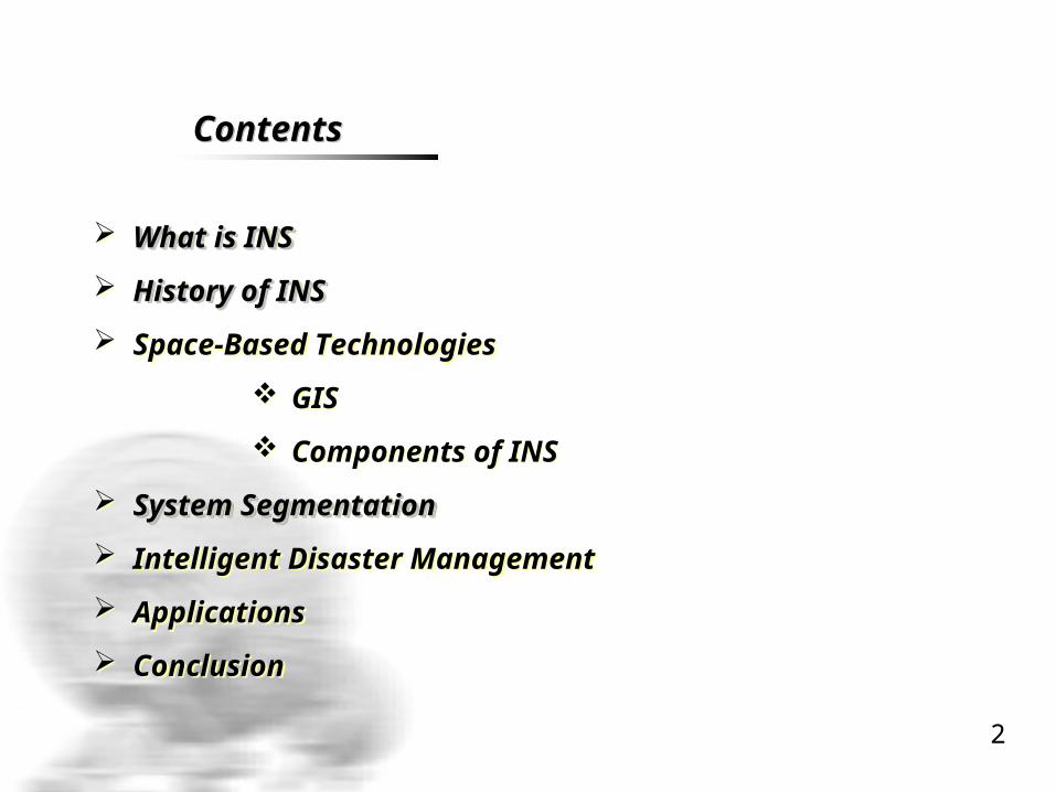
ContentsContents
What is INSWhat is INS
History of INSHistory of INS
Space-Based Technologies
GIS
Components of INS
System SegmentationSystem Segmentation
Intelligent Disaster Management
Applications
Conclusion
What is INSWhat is INS
History of INSHistory of INS
Space-Based Technologies
GIS
Components of INS
System SegmentationSystem Segmentation
Intelligent Disaster Management
Applications
Conclusion
2

What is INS What is INS
§ Finding the way from one place to another is called NAVIGATION
§ a satellite navigation system designed for use in automobiles
§ uses a GPS navigation device to acquire position
§ locate the user on a road in the unit's map database
§ Using the road database
§ Finding the way from one place to another is called NAVIGATION
§ a satellite navigation system designed for use in automobiles
§ uses a GPS navigation device to acquire position
§ locate the user on a road in the unit's map database
§ Using the road database
3

Intelligent Navigation System
Intelligent Navigation System
CommunicationCommunication ServicesServices
CommunicationCommunication ServicesServices
GISGISGISGISGPSGPSGPSGPS
4
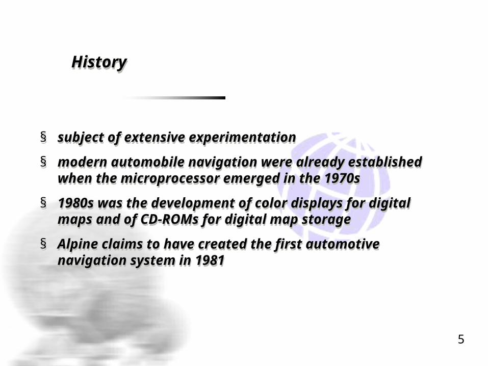
History History
§ subject of extensive experimentation
§ modern automobile navigation were already established when the microprocessor emerged in the 1970s
§ 1980s was the development of color displays for digital maps and of CD-ROMs for digital map storage
§ Alpine claims to have created the first automotive navigation system in 1981
5

Why use INS Why use INS Why use INS Why use INS
basic solution obtained from low-cost navigation basic solution obtained from low-cost navigation sensorssensors
The four principal rules of intelligent navigationThe four principal rules of intelligent navigation :
Closest road
Bearing matching
Access only
Distance in direction
Visualization
basic solution obtained from low-cost navigation basic solution obtained from low-cost navigation sensorssensors
The four principal rules of intelligent navigationThe four principal rules of intelligent navigation :
Closest road
Bearing matching
Access only
Distance in direction
Visualization
6
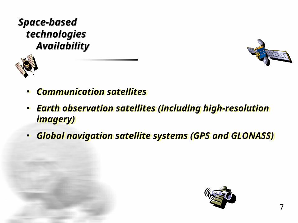
Space-based technologies Availability
Space-based technologies Availability
• Communication satellites
• Earth observation satellites (including high-resolution imagery)
• Global navigation satellite systems (GPS and GLONASS)
• Communication satellites
• Earth observation satellites (including high-resolution imagery)
• Global navigation satellite systems (GPS and GLONASS)
7

Geographic information system
Geographic information system
GIS technology provides tool and resources for data capture, integration, query, modeling analysis and visualization
GIS technology provides tool and resources for data capture, integration, query, modeling analysis and visualization
8

INS INS Components ComponentsINS INS Components Components
1.1. Digital maps to indicate user location; map scanned, Digital maps to indicate user location; map scanned, map digitizedmap digitized
2.2. Communication links between users and control centerCommunication links between users and control center
3.3. Hardware & Software to process, control, evaluate and Hardware & Software to process, control, evaluate and track the moving objects .track the moving objects .
4.4. Device For determining Geographic position; GPS Device For determining Geographic position; GPS handheldhandheld
9
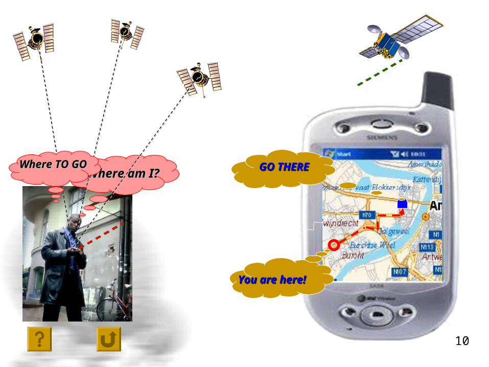
You are here!You are here!
Where am I?Where am I?Where TO GOWhere TO GO GO THEREGO THERE
10
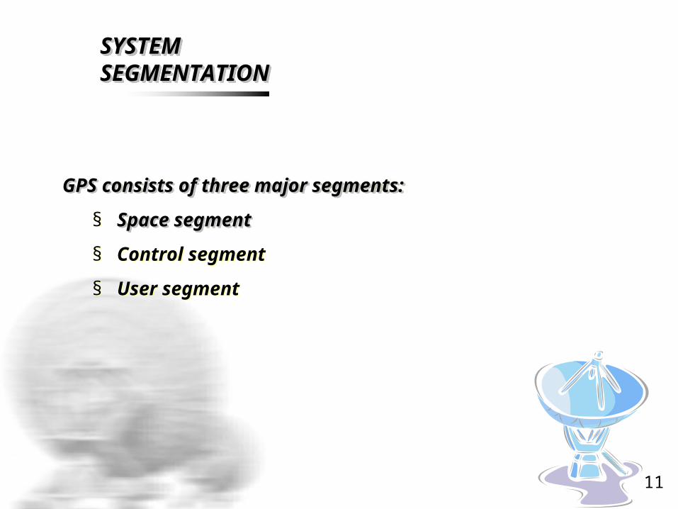
SYSTEM SYSTEM SEGMENTATIONSEGMENTATIONSYSTEM SYSTEM SEGMENTATIONSEGMENTATION
GPS consists of three major segments: GPS consists of three major segments:
§ Space segmentSpace segment
§ Control segment
§ User segment
GPS consists of three major segments: GPS consists of three major segments:
§ Space segmentSpace segment
§ Control segment
§ User segment
11
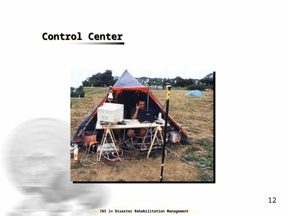
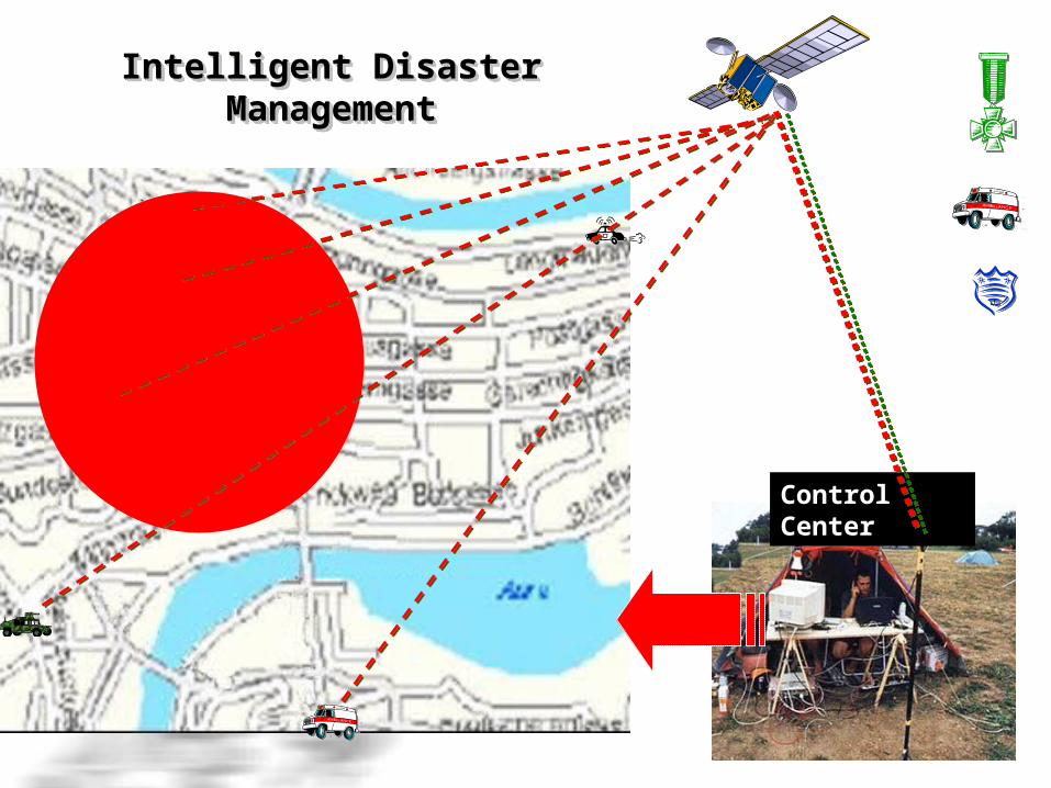
Control CenterControl Center
INS in Disaster Rehabilitation ManagementDisaster Rehabilitation Management
12
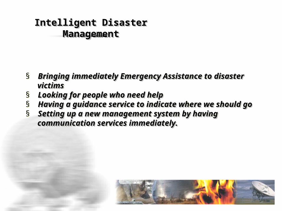
§ Bringing immediately Emergency Assistance to Bringing immediately Emergency Assistance to disaster disaster
victims victims § Looking for people who need help Looking for people who need help § Having a guidance service to indicate where we Having a guidance service to indicate where we
should go should go § Setting up a new management system by having Setting up a new management system by having communication services immediately.communication services immediately.
Intelligent Disaster Intelligent Disaster ManagementManagement
Intelligent Disaster Intelligent Disaster ManagementManagement
Intelligent Disaster Intelligent Disaster ManagementManagement
Intelligent Disaster Intelligent Disaster ManagementManagement
Control CenterControl Center
Applications Applications
§ Military§ Navigation§ Mobile Satellite Communications § Agriculture
§ Military§ Navigation§ Mobile Satellite Communications § Agriculture
15

Conclusion:Conclusion:
Responding to bomb threat. Responding to bomb threat. Preventive Measures In all Buildings-Do’s and Don’ts. Preventive Measures In all Buildings-Do’s and Don’ts. Procedure to be followed by the recipient of the bomb threat. Procedure to be followed by the recipient of the bomb threat. Telephone Bomb threat report form. Evacuation of the area. Telephone Bomb threat report form. Evacuation of the area. Search Teams and search techniques. Search Teams and search techniques. Action on location of a suspected object. Action on location of a suspected object. Handling the media. Handling the media. Duration of the Course: The course will be of two hours.Duration of the Course: The course will be of two hours.
16
References References
§ Cartographies of Travel and Navigation, James R. Akerman, (p.277)
§ "Analog to Digital: A Three-year Detour Leads to the Goal" in "Gyro research: the World's First Automotive Navigation system“
§ Steven R. Strom. "Charting a Course Toward Global Navigation". The Aerospace Corporation. http://www.aero.org/publications/crosslink/summer2002/01.html
§ Globalsecurity.Org
§ www.iscram.org/dmdocuments/ISCRAM2008/SpecialSessionsCFP/ISCRAM2008_CFP131.pdf
§ National Archives and Records Administration. U.S. Global Positioning System Policy
17

Thank You Thank You
Any Queries?????????Any Queries?????????
1818
Related Documents


