Presentation Wyoming Water Development Commission Kirby Creek Watershed Plan Level I Study June 24, 2003

Welcome message from author
This document is posted to help you gain knowledge. Please leave a comment to let me know what you think about it! Share it to your friends and learn new things together.
Transcript

PresentationWyoming Water
DevelopmentCommission
Kirby Creek Watershed Plan
Level I Study
June 24, 2003
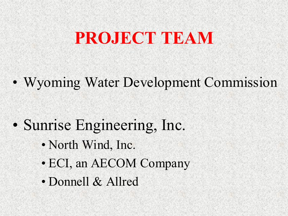
PROJECT TEAM
• Wyoming Water Development Commission
• Sunrise Engineering, Inc.• North Wind, Inc.• ECI, an AECOM Company• Donnell & Allred

Introduction to Introduction to Sunrise EngineeringSunrise Engineering❒ Over 25 years of
Experience❒ Large Rocky Mtn. Based
Civil Engineering Firm❒ 6 Offices in 4 States❒ Local Afton, WY Office❒ Wide Range of Services
Specializing in Water Resource Projects
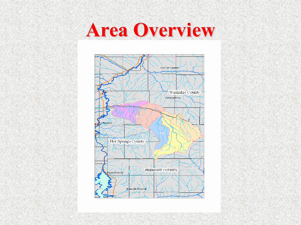
Area OverviewArea Overview

Important IssuesImportant Issues1. Thorough Technical
Analysis
3. Financially Feasible
2. EnvironmentallySound

Major Tasks of the StudyMajor Tasks of the Study
1. Review Previous Studies2. Basin Description & Inventory3. Survey4. Watershed Management Plan5. Permitting6. Cost Estimates & Financing Plan

Review Previous StudiesReview Previous Studies
• WWDC• WY Basin Plan• NRCS• Hot Springs County
Conservation Service• WY DEQ• University of Wyo
• Water Resources Data System
• U.S.F.S.• State Engineers Office• U.S. Corps of Eng.• U.S. Fish & Wildlife• WY Game & Fish
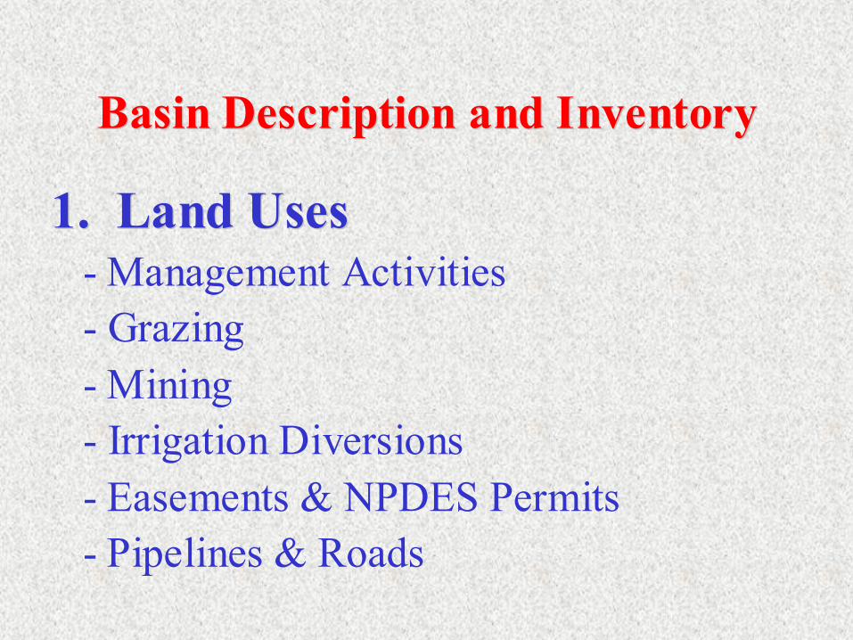
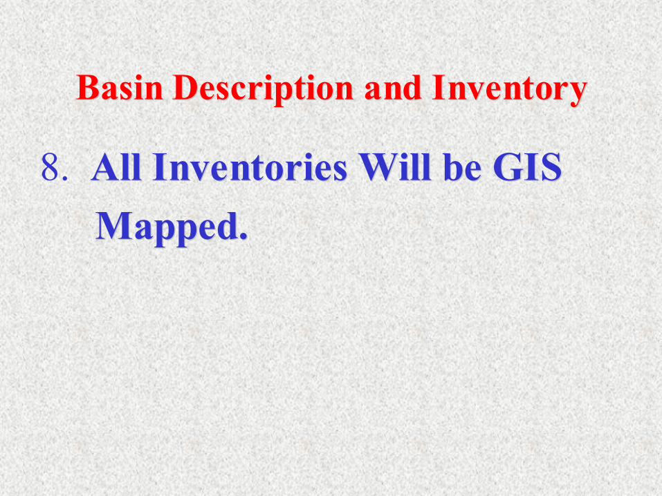
Basin Description and InventoryBasin Description and Inventory
1. Land Uses1. Land Uses- Management Activities- Grazing- Mining- Irrigation Diversions- Easements & NPDES Permits- Pipelines & Roads

Basin Description and InventoryBasin Description and Inventory
2.2. Geology & GeotechnicalGeology & Geotechnical- Soils- Climatological Zones- Major Plant Communities

Basin Description and InventoryBasin Description and Inventory
3.3. Basin HydrologyBasin Hydrology- Stream Discharges- Wet, Normal, & Dry Year

Basin Description and InventoryBasin Description and Inventory
4.4. Stream ChannelsStream Channels- Morphology
- Level I Characterization- Level II for specific reaches
- Structure- Stability

Basin Description and InventoryBasin Description and Inventory
5.5. Irrigation SystemsIrrigation Systems- Identify- Define Challenges
- Supply Sufficiency- Erosion- Conveyance Losses
- Rehabilitation Needs

Basin Description and InventoryBasin Description and Inventory
6.6. Water QualityWater Quality- Gather Available Data- Sample as Needed

Basin Description and InventoryBasin Description and Inventory
7.7. Water StorageWater Storage- Basin Plan- Upland & Tributary
Basin Description and InventoryBasin Description and Inventory
8. All Inventories Will be GIS All Inventories Will be GIS Mapped.Mapped.
Range Management
• Determine causes of degradation – reduces the diversity, values, commodities that rangelands provide.
• Define goals and objectives.• Prevent irreversibility.• Monitor and employ adaptive management
strategies.
Riparian, Upland Range, and Soils Assessment
• Land uses and management activities will be assessed to determine their effects on surface erosion, sedimentation, and water flow.
• Major plant communities and soil types will be quantified using scientifically defensible, state-of the-art inventory techniques.
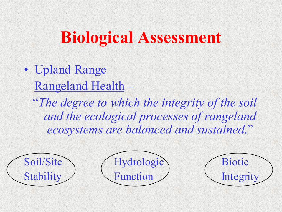
Biological Assessment
• Upland RangeRangeland Health –“The degree to which the integrity of the soil
and the ecological processes of rangeland ecosystems are balanced and sustained.”
Soil/Site Hydrologic Biotic Stability Function Integrity

Biological Assessment
• Riparian – 3 Inventory Techniques
1) Vegetation Cross-Section Composition2) Greenline Composition3) Woody Species Regeneration
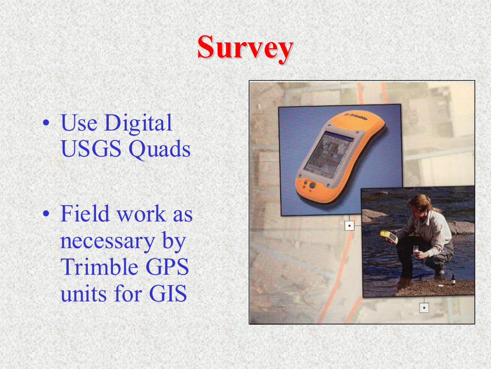
SurveySurvey
• Use Digital USGS Quads
• Field work as necessary by Trimble GPS units for GIS

Watershed Management PlanLand Management Methods
- Channel Stabilization- Erosion Control StructuresWater Management Methods
- Irrigation Supply Needs- Irrigation StructuresRecommendations &Concept Designs

Permitting• Identification Of:
– Easements– Clearances– Permits– Environmental Issues
• Government Agency Coordination

Cost Estimates and FinancingCost Estimates and Financing
• Assist in Prioritizing All Recommended Improvements and Projects
• Provide Cost Estimates• Identify Potential
Funding Sources

Questions & InputQuestions & Input
❒ Available Resources?❒ Important Issues?❒ Additional Input?

SUNRISE ENGINEERING
47 East 4th AvenueAfton, Wyoming 83110www.sunrise-eng.com
(307) 885-8500
Related Documents


