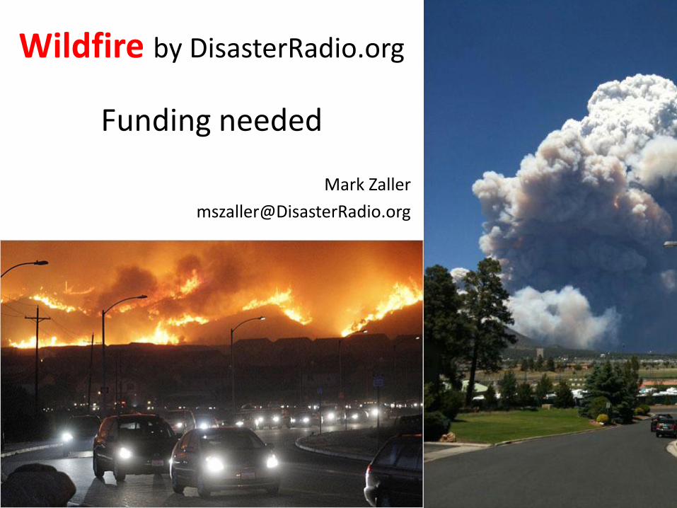
Wildfire by DisasterRadio.org GIS maps stimulate social networking, geo-tweets, crowd-source info Mark Zaller [email protected]

Wildfire - DisasterRadio.org
Jul 16, 2015
Welcome message from author
This document is posted to help you gain knowledge. Please leave a comment to let me know what you think about it! Share it to your friends and learn new things together.
Transcript
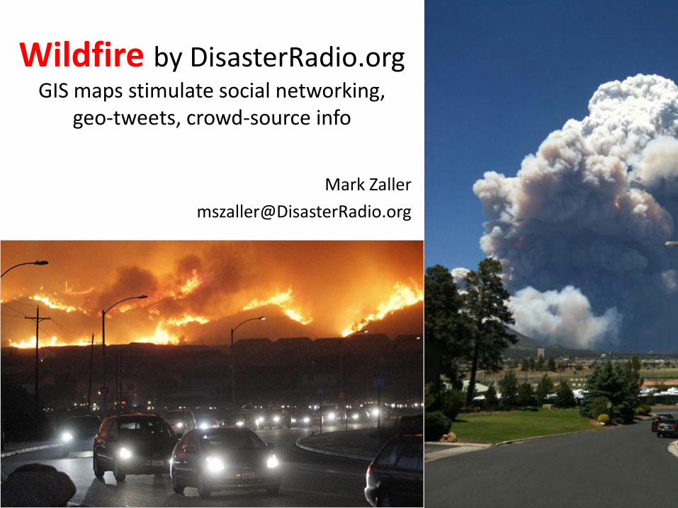
Wildfire by DisasterRadio.orgGIS maps stimulate social networking,
geo-tweets, crowd-source info
Mark Zaller

• Updated detailed GIS maps, a lure that fulfills
• Easy for neophytes, depth for sophisticated
• Stimulate social networking, calms & informs
• Force Geo-tweets, maps those at risk
• Data-mining for Crowd-Sourced info to IC
Core Functions
Wildfire by DisasterRadio.org

GIS to the peopleevolved from AirborneGIS
• GeoMAC.gov Fresh fire perimeters
• Autonomous: no moderator or input
• Scales small. 1st person – 1st time
• Minimize bandwidth, offline resilient
Everybody wants to know where the fire is Wildfire by DisasterRadio.org
Wildfire ScreenShot
Wildfire ScreenShot
Wildfire ScreenShot

Click to see 1 min YouTube Demo of AirBorneGIS in use over fires that DisasterRaido evolved from for Civilians
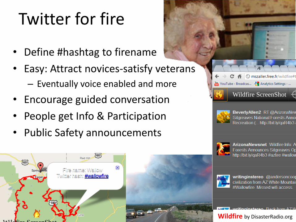
Twitter for fire
Wildfire by DisasterRadio.org
• Define #hashtag to firename
• Easy: Attract novices-satisfy veterans
– Eventually voice enabled and more
• Encourage guided conversation
• People get Info & Participation
• Public Safety announcements
Wildfire ScreenShot
Wildfire ScreenShot
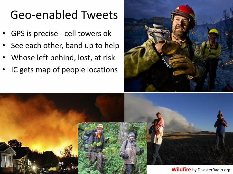
Geo-enabled Tweets
Wildfire by DisasterRadio.org
• GPS is precise - cell towers ok
• See each other, band up to help
• Whose left behind, lost, at risk
• IC gets map of people locations

Safer Perimeters
• Distant people are affected
• Supply info to the worried
• Attract help & aide
• Donate, Gawk, Volunteer
• Encourage safe distance
Wildfire by DisasterRadio.org
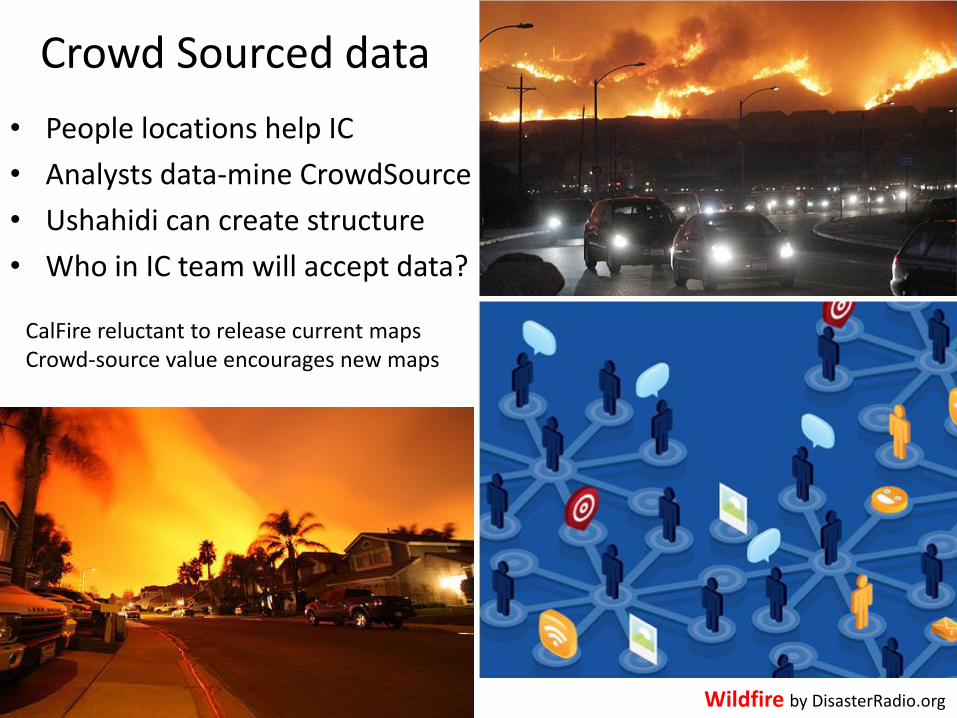
Crowd Sourced data
• People locations help IC
• Analysts data-mine CrowdSource
• Ushahidi can create structure
• Who in IC team will accept data?
Wildfire by DisasterRadio.org
CalFire reluctant to release current maps Crowd-source value encourages new maps

Locate Family & Friends (mashup)
Escape Routingaround closures
Alert! Hurt! Find Me! Lost!
Voice RecognitionTTS - Translate
Scroll NewsEmergency Radio
Volunteer-Donate
I have / I need
Geo-LocatedVideo & Photos
DisasterRadioCross Platform
Add-ons & options
Wildfire by DisasterRadio.org

Issues - Concerns
Wildfire by DisasterRadio.org
• Alert! Hurt! Find Me! Lost! Who is listening? Too easy? Enable when staffed, priority tweet, Populate your own emergency contacts, better than nothing
• 911 simply dials phone, Are you Sure? Disclaimers
• Help get people to follow evacuations
• Could burglars/looters use it?
Can’t address all concerns at first. Planning reduces issues & more prepared for the unexpected
Wildfire ScreenShot

What’s next?
• Funding to Release It! fix, evolve & iterate
• Keeping it alive: Profitable, funding, monetizing, subscription– Winning hack-a-thons isn’t software engineering
• Strategy, Vision & Tactics– Cross disciplinary governing board, crowd-source, organization
• Need a Team: Paid, Open-Source/GitHub, Volunteer, Non-profit, Crisis-Mappers, University, Agency, board of experts
• Other disasters: Floods, earthquakes, heat waves, outages
Wildfire by DisasterRadio.org

Tactical GIS for ground firefighters
Backup slide
• Moving-Map GIS on iPhone/iPads now
– Get ATT or Verizon version, but service not needed
• Offline: Base topos, daily Fire GIS
– Safety – Fire Lines- Road Names
– Fire Point – Division Breaks
– Wifi updating during breakfast in firecamp/motel
– No 3G needed
• iOS software on Apple Apps Store now
– Avenza PDF Maps uses standard Fire PDFs
– Gaia GPS, free but paid is better
Related Documents