1 Welcome to Virtual Banat! Banat is the historical province lying in the south-eastern extremity of the territorial entity called Mitteleuropa. The area of Banat, square-shaped, has the following natural borders: the Mureş River in the north, the Tisa River in the west, and the Danube in the south; its eastern border is a route that crosses the Southern Carpathians in the west and the Western Carpathians in the south. Banat covers an area of 28,526 km 2 , which today is divided into three regions. The largest of them, about two thirds, belongs to Romania (18,966 km 2 ); one third belongs to Serbia, and a small part, 284 km 2 , belongs to Hungary. From the administrative point of view, today’s territory of Banat is divided as follows: First-time events in Banat 1002 – The first monastery on the territory of present-day Romania was at Morisena (today Cenad Village, Timis County). Its patron saint was St. John the Baptist and it was a monastery of Orthodox monks. 1030 – The first school on the current Romanian territory was opened at Cenad (Timis County). The teaching language was Latin. About 1179 – the Abbey at Igris, founded by the Cistercian monks of the Pontigny

Welcome message from author
This document is posted to help you gain knowledge. Please leave a comment to let me know what you think about it! Share it to your friends and learn new things together.
Transcript

1
Welcome to Virtual Banat!
Banat is the historical province lying in the south-eastern extremity of the territorial entity called
Mitteleuropa.
The area of Banat, square-shaped, has the following natural borders: the Mureş River in the north, the
Tisa River in the west, and the Danube in the south; its eastern border is a route that crosses the
Southern Carpathians in the west and the Western Carpathians in the south.
Banat covers an area of 28,526 km2, which today is divided into three regions. The largest of them,
about two thirds, belongs to Romania (18,966 km2); one third belongs to Serbia, and a small part, 284
km2, belongs to Hungary. From the administrative point of view, today’s territory of Banat is divided
as follows:
First-time events in Banat
1002 – The first monastery on the territory of present-day Romania was at Morisena (today Cenad Village, Timis County). Its patron
saint was St. John the Baptist and it was a monastery of Orthodox monks.
1030 – The first school on the current Romanian territory was opened at Cenad (Timis County). The teaching language was Latin.
About 1179 – the Abbey at Igris, founded by the Cistercian monks of the Pontigny

2
Welcome to Virtual Banat!
Welcome to Virtual Banat!
[1]Banat is the historical province lying in the south-eastern extremity of the territorial entity called
Mitteleuropa.
The area of Banat, square-shaped, has the following natural borders: the Mureş River in the north, the
Tisa River in the west, and the Danube in the south; its eastern border is a route that crosses the
Southern Carpathians in the west and the Western Carpathians in the south.
Banat covers an area of 28,526 km2, which today is divided into three regions. The largest of them,
about two thirds, belongs to Romania (18,966 km2); one third belongs to Serbia, and a small part, 284
km2, belongs to Hungary. From the administrative point of view, today’s territory of Banat is divided as follows:
In Romania:
- the whole Timiş County
- Caraş-Severin County, except for Băuţar, Bucova, Cornişoru and Preveciori, which all form Băuţar commune
- Arad County, only the area south of the Mureş River
- Mehedinţi County, only Baia Nouă, Dubova, Eibenthal, Ieşelniţa, Orşova and Sviniţa. Several localities of the traditional Banat sank
disappeared under the Iron Gate reservoir.
- Hunedoara County – Sălciva and Pojoga
In Serbia:
- the part of Vojvodina situated east of the Tisa
- North Banat District (Severni Banat in Serbian) (except for Ada, Senta and Kanjiza municipalities, located e west of the Tisa)
- Central Banat District (Srednji Banat in Serbian)
- South Banat District (Južni Banat in Serbian)
In central Serbia:

3
- Pančevački Rit, the area that forms the part of Palilula municipality to the west of the Danube and is included in the Belgrade
metropolitan area
In Hungary:
- a small part of the Csongrád county (comitatus), namely the area located in the southern angle formed by the Tisa and the
Mureş, as far as the state border with Romania and Serbia
Brief Historic Presentation
After the repression of the 1848 revolution, in order to reward the devoted Serbians who sided with the Imperial authorities during the
conflicts, the Vojvodina of Serbia and the Tamiš Banat (Woiwodschaft Serbien und Temescher Banat) were formed following the
Emperor’s decree of November 18 1849. The province included territories of Banat (except the military border), Bačka and Syrmia.
Its ruler was the Grand Voivode, one of the Emperor’s numerous titles. The province was ruled by an Imperial lieutenancy led by a
governor and was organised in five districts (Kreise) divided into sub-districts (Bezirke):
- Timişoara, with Aradu Nou, Lipova, Buziaş, Ciacova, Vârşeţ and Timişoara sub-districts (193 villages and 280,808 inhabitants)
- Lugoj, with the Făget, Lugoj, Bocşa and Oraviţa sub-districts (234 villages and 219,803 inhabitants)
- Becicherecu Mare, with Tőrőkbecse, Kikinda Mare, Sânnicolau Mare, Biled, Jimbolia, Modoş and Becicherecu Mare (108 villages
and 336,763 inhabitants)
- Neusatz (Novi Sad)
- Sombor
The last two districts included territories outside historical Banat. The population of the province was very mixed: 347,459
Romanians, 321,110 Serbs, 335,080 Germans, 221,845 Hungarians and other ethnic groups. The capital of the province was
Timişoara. The official languages were German and Serbian.
The Vojvodina of Serbia and the Tamiš Banat province was abolished in October 1860 and the governing system reverted to
Hungarian comitatens in Banat and Bačka. Syrmia was incorporated into Slavonia. The administrative rulers of the comitate were the
primcomite (the prefect), the vicecomite (the subprefect), the pretors (head of subdistricts), and the comitatens Congregation.

4
Romanian Banat
In 1950, following the Soviet model, the communist authorities introduced the administrative-territorial organisation on regions by
Law no 5/September 6 1950. Although it lasted only until 1968, the division of the national territory into regions and raions underwent
major changes in time. Initially, the territory of Romanian Banat was distributed into three regions that were very similar to the current
counties: Arad (belonging to Banat only partly), Timişoara and Severin. This structure lasted only for two years, until 1952, when the
Severin region was abolished and the territories of the remaining regions were redistributed. In 1956, the Arad region also disappeared
and in 1960 the Timişoara region was renamed Banat. A short description of these successive changes is given below:
Arad region, with its capital Arad, comprised, in 1952, an area only a little larger than the current Arad county. In the beginning, it did
not include the Sânnicolau Mare area that was incorporated after the 1952 territorial reorganisation.
Between 1952 and 1956, the region had six raions: Arad, Criş (capital at Chişineu Criş), Gurahonţ, Ineu, Lipova and Sânnicolaul
Mare, only the last two belonging to Banat. In 1956, once this region abolished, its territory was redistributed between Timişoara and
Oradea regions.
Severin region, located in southern Banat, had the shortest life: only two years (between 1950 and 1952). The capital city was
Caransebeş. It covered an area only a bit larger than today’s Caraş-Severin county and also included the traditionally Banat area lying
in the south-west of Mehedinţi county today.
At first, Timişoara region, with the capital at Timişoara, covered an area only a little larger than the current territory of Timiş county.
At the time, it was divided in three raions: Deta, Sânnicolau Mare and Timişoara. In 1952 it lost Sânnicolau Mare, which was
incorporated into Arad region, but it was attached the whole Severin region. Between 1952 and 1956, the latter had nine raions: Almaş
(Mehadia), Caransebeş, Deta, Făget, Lugoj, Moldova Nouă, Oraviţa, Reşiţa and Timişoara. In 1956, by Decree no 12 regarding
amendments to Law no 5/1950 for the division into raions of the territory of the People’s Republic of Romania – PRR (published in
the Official Bulletin of PRR of January 10 1956), the southern part of the former Arad region was added to this region.
Banat region was established by Law no 3/December 27 1960 for the improvement of the administrative division of the RPR’s
territory. It comprised not only the former region Timişoara, but also territories of the former Arad region. Its capital was Timişoara. It
covered today’s counties of Timiş, Caraş-Severin and partially Arad (the southern part), including the municipality of Arad, as far as

5
Macea and Pâncota, and a major part in the north of the Mureş, outside the traditional Banat. Consequently, in 1961, this territorial
administrative entity reminding of historical Banat covered 21,000 km2 and had 1,234,340 inhabitants.
Banat region was divided into 12 raions and 16 towns, of which 4 (Timişoara, Reşiţa, Arad and Lugoj) enjoyed a special statute, that
of regional towns. The 321 communes comprised 601 villages. The raions of the region were Arad, Bozovici, Caransebeş, Deta, Făget,
Lipova, Lugoj, Moldova Nouă, Oraviţa, Orşova, Sânnicolau Mare, Timişoara, but also the regional town of Reşiţa, whose area and
number of localities were those of a raion.
December 18 1964 – names of localities were changed by Decree 799.
In 1968, the raions and the regions ceased to exist by Law no 2/ February 16 1968 and the former judeţ (county) name was
reintroduced for new administrative-territorial entities. In the case of Banat, these new divisions are more similar to the 1950 regions
than to the pre-war counties. On this occasion, the south-eastern corner of Banat, including the town of Orşova, was attached to
Mehedinţi, a county from Oltenia, while about 40 villages in northern Banat, the town of Lipova and Aradu Nou were attached to
Arad County. To top it all, Caraş-Severin county received several villages from Hunedoara, while two Banat villages near the Mureş
were incorporated into Hunedoara County. This is how the splitting of Banat that started at the end of World War I went on and today
we can find Banat localities in five Romanian counties, a Hungarian county, and three districts and a metropolitan area of two Serbian
provinces. Not to mention the unprecedented situation that three large cities outside Banat – Belgrade, Szeged and Arad – have
districts in Banat.
By the same Law no 2/1968, some names of localities were changed, while other localities disappeared because of numerous
administrative unifications.
Serbian Banat
Chronological references
- November 25, 1918 – The People’s Assembly of Serbs and other Slavs gathered at Novi Sad to proclaim the unification of
Vojvodina (Banat, Bačka and Baranja) with the Kingdom of Serbia.
- 1918 - 1922 – Serbian Banat formed the Veliki Bečkerek district.
- 1922 - 1929 – The territory of Serbian Banat was divided between the provinces (oblast) of Belgrade and Podunavlje, the latter with

6
the capital at Smederevo.
- October 3, 1929 - April 1941 – The country’s territory is divided into banovinas. Most of the Serbian Banat territory was
incorporated into Dunavska Banovina, with the capital at Novi Sad. The town of Belgrade, together with Zemun and Pancevo, formed
a separate administrative unit of banovinas.
- April 1941 – October 23, 1944 – Serbian Banat, Šumadija and Braničevo formed a smaller Dunavska Banovina as part of the puppet
Serbian state under German military occupation.
Banat was under Serbian authority only in theory, as it was administered by the German minority.
It was ruled by a vice-ban (Vize-Banus) who was formally a subordinate of the ministry of internal affairs in Belgrade. The official
languages were German and Serbian.
In that time, Serbian Banat was divided in the following administrative subdivisions (districts): Pančevo, Vršac, Bela Crkva, Kovin,
Jaša Tomić, Veliki Bečkerek, Velika Kikinda, Novi Becej, Nova Kanjiža, Kovačica and Alibunar.
The whole Banat administration came from the German minority. The local high officials were appointed by the puppet government in
Belgrade, at the suggestion of the vice-ban. Even the judges and the notaries were German. The postal, railway and fiscal
administration was in the hands of the German ethnic group.
The civil administration of the German minority was doubled by the German military occupation under the rule of a military
commandment.
- After the war – The province of Vojvodina was established based on the former Danube Banovina.
- 1948 - Borča and Ovča were included in the administrative area of Belgrade.
- April 7, 1963 – The Socialist Autonomous Province Vojvodina with the capital at Novi Sad was established. It also comprised the
Serbian Banat territory.
- July 5, 1989 – The autonomous statute of Vojvodina was revoked.
- September 28, 1990 – The Autonomous Province of Vojvodina was established.

7
Evolution of population on the territory of Serbian Banat in 1910 - 1991 (number of inhabitants):
Ethnic
groups
1910 1921 1931 1948 1953 1961 1971 1981 1991
Serbs 229,568 235,148 261,123 358,067 374,258 423,837 434,815 424,765 423,475
Germans 125,374 126,519 120,541 17,522 - - 165 - -
Hungarians 108,662 98,463 95,867 110,446 112,683 111,944 103,093 90,445 76,153
Romanians 73,303 66,433 62,365 55,678 55,094 54,447 49,455 43,474 35,935
Slovaks 16,223 17,595 17,900 20,685 21,229 22,306 22,139 21,392 19,903
Others 13,270 14,840 27,783 39,238 53,899 43,334 56,092 92,808 93,924
Total 566,400 559,096 585,579 601,626 617,163 655,868 665,759 672,884 648,390
Note: The population of Borča and Ovča, localities that were included within Belgrade’s administrative territory in 1948, was subtracted from the population of
Serbian Banat. The data used in this table were taken from the Hungarian and Yugoslavian (Serbian) censuses conducted in the corresponding years.

8
Territorial Exchange
A protocol concerning several Danube islands and an exchange of localities between Romania and the Kingdom of the Serbs, Croats
and Slovenes was signed in Belgrade in November 24, 1923. As a result, in 1924, Jimbolia (until then Dzombolj), Checea Croată,
Beba Veche, Pusta Cherestur, Ciorda and Iam, that had belonged to the Kingdom of Serbs, Croats and Slovenes were incorporated
into Romania, while Modoş (Modoš, today Jaša Tomić), Părdani (Ninčićevo, today Međa ), Şurian (today Šurjan), Căptălan (today
Busenje), Krivobara (today Markovićevo) and Gaiu Mare (today Veliki Gaj), that had been part of Romania, were ceded to the
mentioned kingdom. Jimbolia was ceded to the Romanian State on April 10 1924.
Maps of Banat [2]
References:
Lemkin, Raphaël - Axis rule in occupied Europe. Laws of Occupation. Analysis of Government Proposals for Redress, The Lawbook
Exchange, ltd., Clark, New Jersey, 2005, pp. 252-253, 603
Documentary by Ionel Crăciun
English version: Antuza Genescu
Source URL: http://www.banaterra.eu/english/node/1
Links: [1]http://www.banaterra.eu/english/sites/default/files/images/diverse/banat-harta1740.jpg
[2] http://www.banaterra.eu/romana/romana/harti/index.htm
9
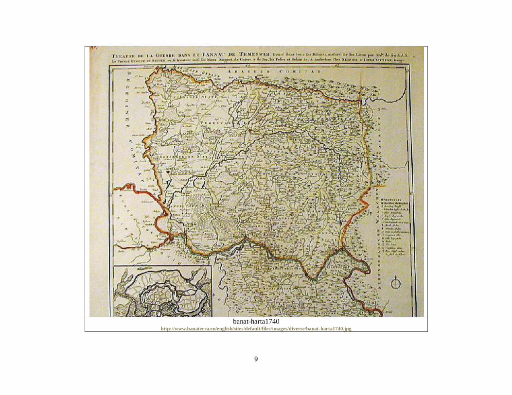
banat-harta1740
http://www.banaterra.eu/english/sites/default/files/images/diverse/banat-harta1740.jpg

10
Arad 2006
http://www.banaterra.eu/romana/romana/harti/arad.jpg

11
Banat 1560
http://www.banaterra.eu/romana/romana/harti/banat.jpg
12
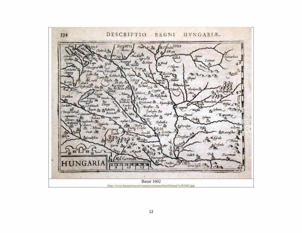
Banat 1602
http://www.banaterra.eu/romana/romana/harti/banat%201602.jpg
13
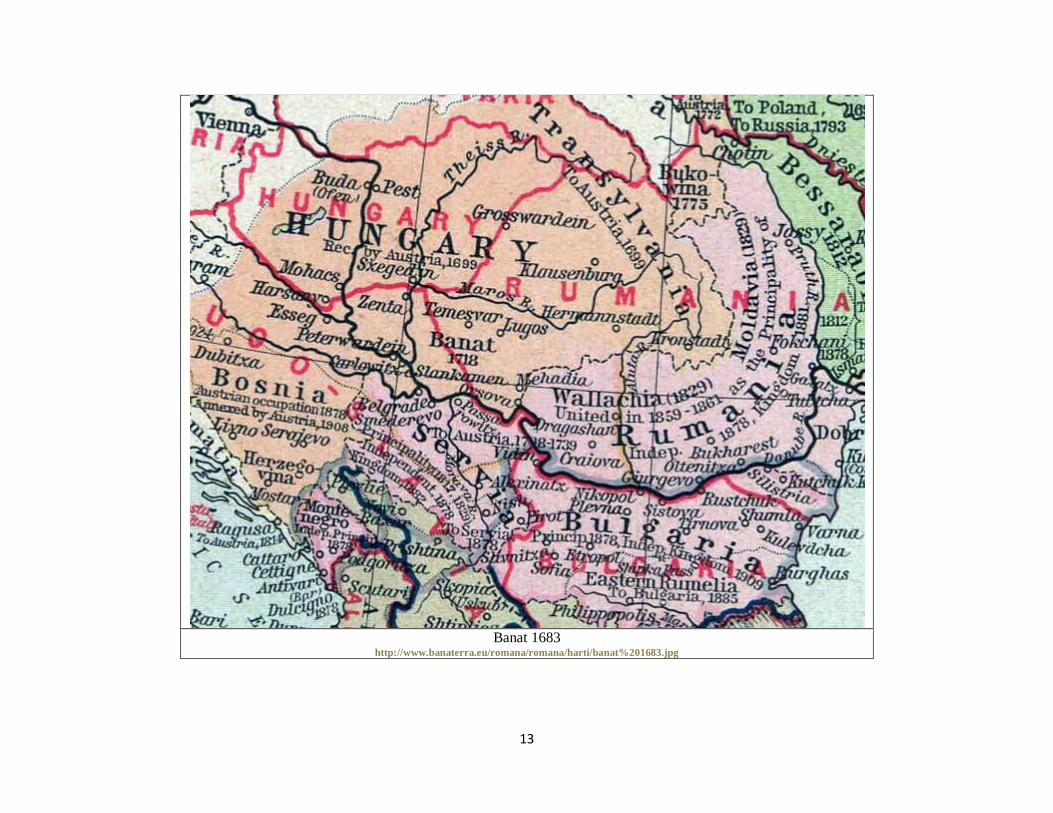
Banat 1683
http://www.banaterra.eu/romana/romana/harti/banat%201683.jpg

14
Timisoara 1716
http://www.banaterra.eu/romana/romana/harti/timisoara.jpg

15
Banat 1740 a
http://www.banaterra.eu/romana/romana/harti/banat-harta1740.jpg

16
Banat 1740 b
http://www.banaterra.eu/romana/romana/harti/banat%201740%20b.jpg

17
Banat 1740 c
http://www.banaterra.eu/romana/romana/harti/banat%201740%20c.jpg

18
Banat 1740 d
http://www.banaterra.eu/romana/romana/harti/banat%201740%20d.jpg

19
Timisoara 1740
http://www.banaterra.eu/romana/romana/harti/timisoara%201740.jpg

20
Timisoara 1750
http://www.banaterra.eu/romana/romana/harti/timisoara%201750.jpg

21
Banat 1776
http://www.banaterra.eu/romana/romana/harti/Banat1776.jpg

22
Banat 1789
http://www.banaterra.eu/romana/romana/harti/banat%201789.jpg

23
Banat 1825
http://www.banaterra.eu/romana/romana/harti/banat%201825.jpg
24
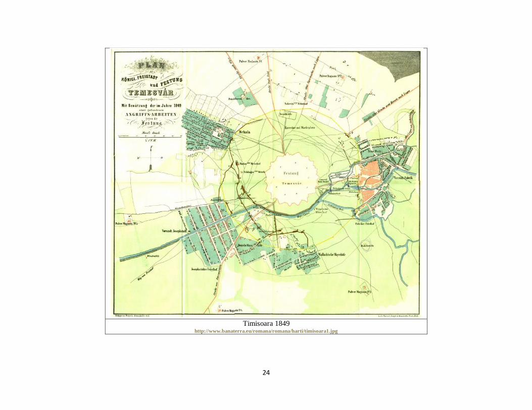
Timisoara 1849
http://www.banaterra.eu/romana/romana/harti/timisoara1.jpg
25
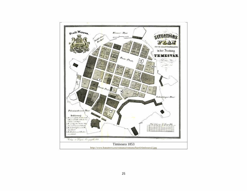
Timisoara 1853
http://www.banaterra.eu/romana/romana/harti/timisoara2.jpg

26
Banat 1856
http://www.banaterra.eu/romana/romana/harti/banat%201856.jpg
27
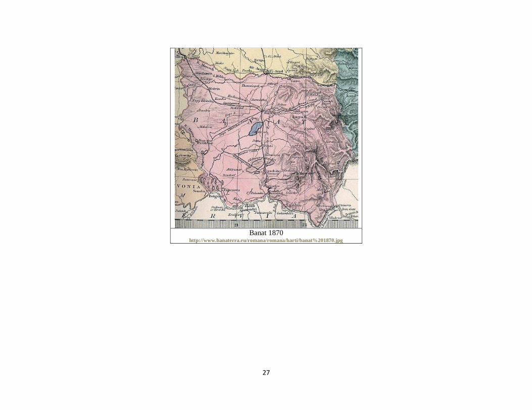
Banat 1870
http://www.banaterra.eu/romana/romana/harti/banat%201870.jpg

28
Banat 1880 a
http://www.banaterra.eu/romana/romana/harti/banat%201880.jpg
29
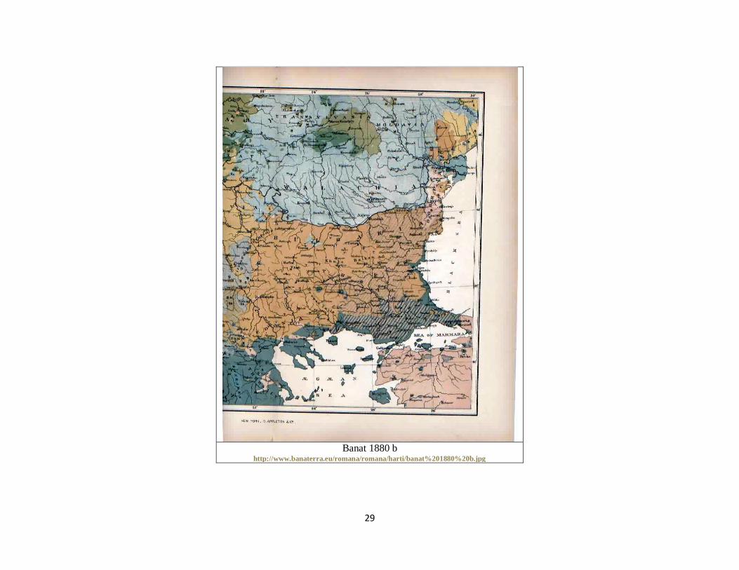
Banat 1880 b
http://www.banaterra.eu/romana/romana/harti/banat%201880%20b.jpg

30
Banat 1882
http://www.banaterra.eu/romana/romana/harti/banat%201882.jpg

31
Banat 1898
http://www.banaterra.eu/romana/romana/harti/banat%201898.jpg

32
Banat 1900
http://www.banaterra.eu/romana/romana/harti/banat%201900.jpg

33
Banat 1919
http://www.banaterra.eu/romana/romana/harti/banat%201919.jpg
34
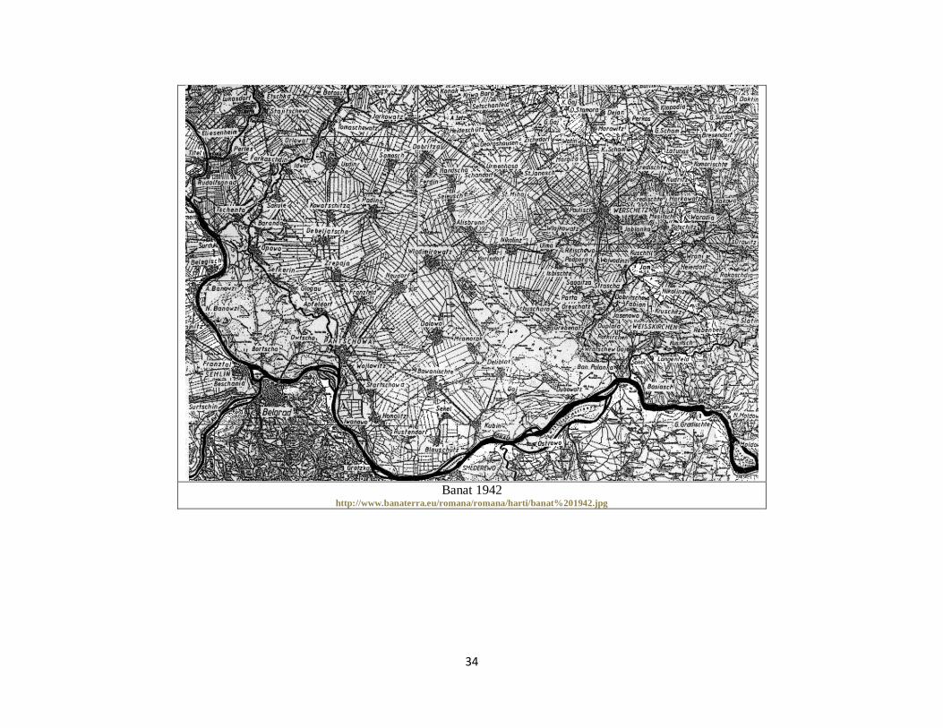
Banat 1942
http://www.banaterra.eu/romana/romana/harti/banat%201942.jpg

35
Banat 2002
http://www.banaterra.eu/romana/romana/harti/banat%202002.jpg

36
Banat German
http://www.banaterra.eu/romana/romana/harti/banat%20german.jpg

37
Caras Severin
http://www.banaterra.eu/romana/romana/harti/caras.jpg

38
Caras-Severin 2006
http://www.banaterra.eu/romana/romana/harti/caras-severin.jpg

39
Cenad 2006
http://www.banaterra.eu/romana/romana/harti/harta_cenad.jpg

40
Mehedinti 2006
http://www.banaterra.eu/romana/romana/harti/mehedinti.jpg
41
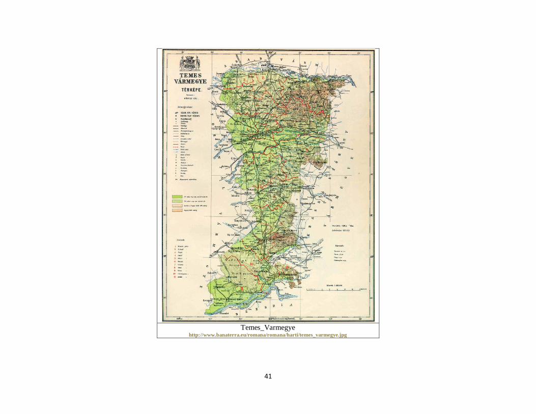
Temes_Varmegye
http://www.banaterra.eu/romana/romana/harti/temes_varmegye.jpg

42
Timis 1910
http://www.banaterra.eu/romana/romana/harti/timis%201910.jpg

43
Timis 1911
http://www.banaterra.eu/romana/romana/harti/timis%201911.jpg
44
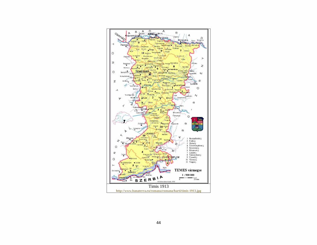
Timis 1913
http://www.banaterra.eu/romana/romana/harti/timis-1913.jpg
45
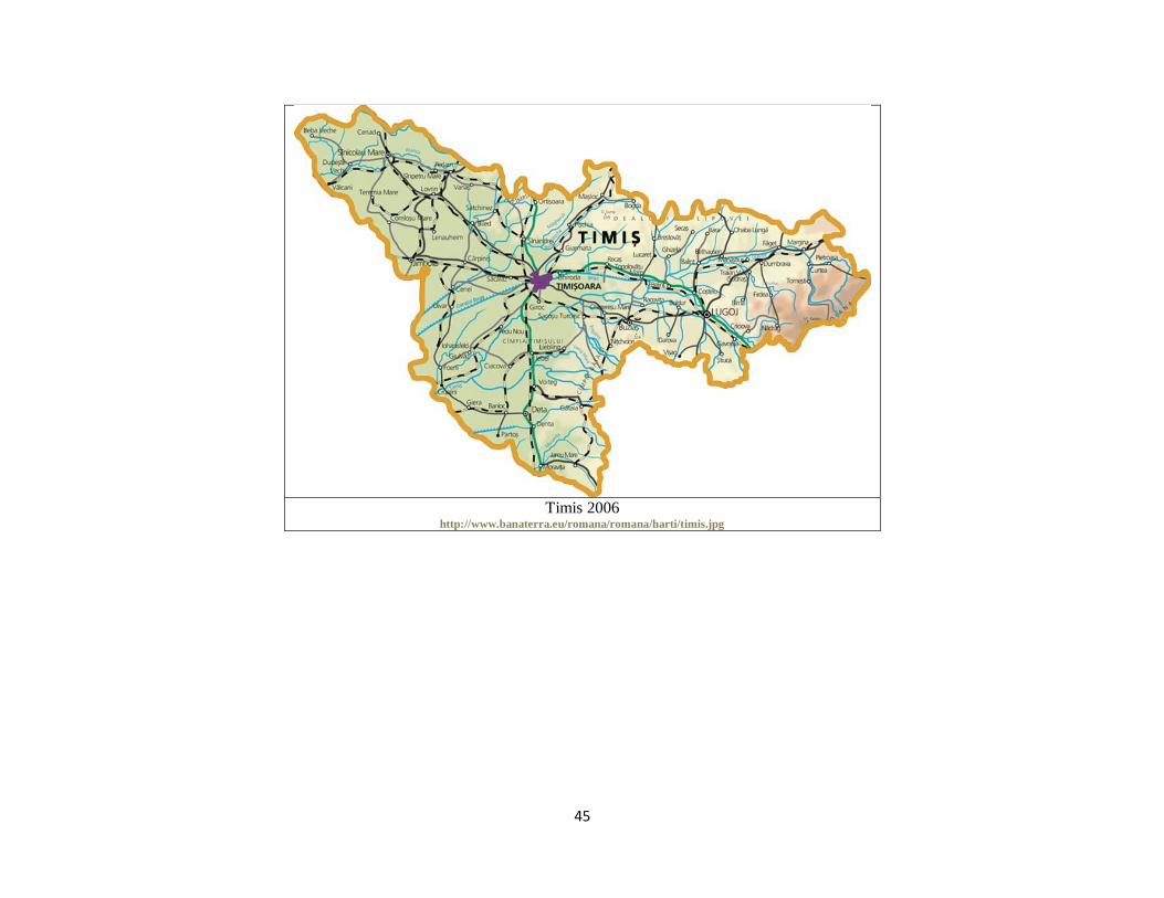
Timis 2006
http://www.banaterra.eu/romana/romana/harti/timis.jpg

46
Timisoara_Harta 1850
http://www.banaterra.eu/romana/romana/harti/timisoara_harta_1850.jpg

47
Timisoara_Harta_1893
http://www.banaterra.eu/romana/romana/harti/timisoara_harta_1893.jpg

48
Timisoara_Harta_evolutie
http://www.banaterra.eu/romana/romana/harti/timisoara_harta_evolutie.jpg

49
Torontal_Varmegye
http://www.banaterra.eu/romana/romana/harti/torontal_varmegye.jpg
Related Documents