Webinar Strengthening regional cooperation in geospatial data sharing for mitigation of COVID-19 pandemics Venue: Teleconference, 15 May 2020, 9:30-11:00am (UTC+7, Bangkok time) SUMMARY Background Geospatial information can play an essential role in monitoring and analyzing the impact of COVID-19, as well as supporting the response and recovery of COVID-19. ESCAP, as the UN-GGIM-AP Secretariat, together with the World Geospatial Industry Council (WGIC) and the Asia-Oceania Group on Earth Observation (AOGEO) discussed how geospatial information can be best utilized to tackle the COVID-19 outbreak and potential future pandemics through enhanced regional cooperation. The webinar aimed to highlight good practices and lessons learned from countries in the Asia Pacific region, and consider how countries and regional organizations can strengthen collaboration to develop capacity to map health risk hotspots and mitigate potential risks using geospatial information and big data. Guiding questions 1. What is the practice and/or tool you have applied that integrates geospatial information into COVID-19 response? Are any cross-cutting approaches being applied? 2. What challenges need to be addressed and are there any recommendations to enhance regional cooperation, that address these? Additional: 3. How can countries with limited geospatial resources and capabilities utilize them best? What is the support other countries can give? Welcome Note Ms. Alison Rose Ms. Alison Rose, new President of UN-GGIM-AP and Chief od Place, Space and Communities Division at Geoscience Australia, moderated the webinar and welcomed all participants virtually. She outlined, that the webinar is looking at how geospatial information can support the monitoring and analysing of the impact of COVID-19, as well as response and recovery. She welcomed the panellists Dr. David Hudson, Mr. Zhang

Welcome message from author
This document is posted to help you gain knowledge. Please leave a comment to let me know what you think about it! Share it to your friends and learn new things together.
Transcript
Webinar
Strengthening regional cooperation in geospatial data sharing for mitigation of COVID-19 pandemics
Venue: Teleconference, 15 May 2020, 9:30-11:00am (UTC+7, Bangkok time)
SUMMARY
Background
Geospatial information can play an essential role in monitoring and analyzing the impact of COVID-19, as well as supporting the response and recovery of COVID-19. ESCAP, as the UN-GGIM-AP Secretariat, together with the World Geospatial Industry Council (WGIC) and the Asia-Oceania Group on Earth Observation (AOGEO) discussed how geospatial information can be best utilized to tackle the COVID-19 outbreak and potential future pandemics through enhanced regional cooperation.
The webinar aimed to highlight good practices and lessons learned from countries in the Asia Pacific region, and consider how countries and regional organizations can strengthen collaboration to develop capacity to map health risk hotspots and mitigate potential risks using geospatial information and big data.
Guiding questions
1. What is the practice and/or tool you have applied that integrates geospatial
information into COVID-19 response? Are any cross-cutting approaches being
applied?
2. What challenges need to be addressed and are there any recommendations to
enhance regional cooperation, that address these?
Additional:
3. How can countries with limited geospatial resources and capabilities utilize them
best? What is the support other countries can give?
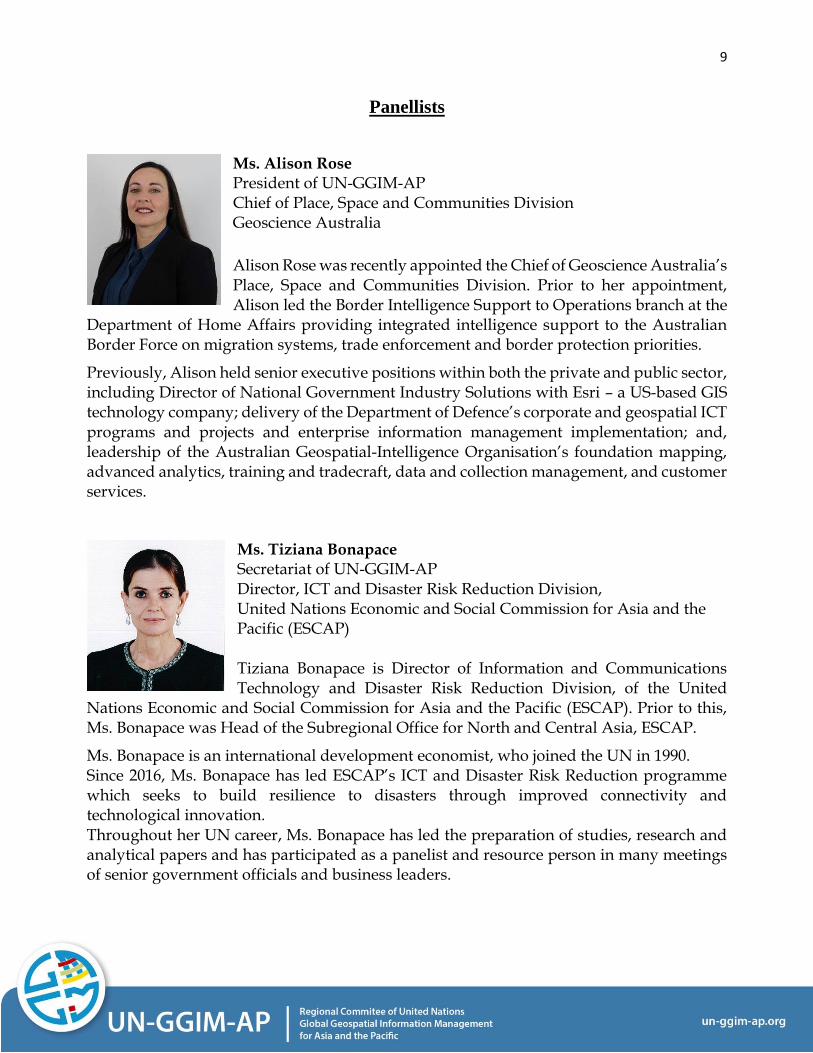
Welcome Note Ms. Alison Rose
Ms. Alison Rose, new President of UN-GGIM-AP and Chief od Place, Space and Communities Division at Geoscience Australia, moderated the webinar and welcomed all participants virtually. She outlined, that the webinar is looking at how geospatial information can support the monitoring and analysing of the impact of COVID-19, as well as response and recovery. She welcomed the panellists Dr. David Hudson, Mr. Zhang
2
Shibai, Dr. Wang Qian, Mr. Fujimura Hidenori, Dr. Antonius B. Wijanarto and Mr. Sanjay Kumar. Ms. Alison Rose emphasized, that decision makers are relying on access to richer and more accessible data, information and analytics at a faster pace and in a mode that can be tailored and personalised. The COVID-19 pandemic, its global spread, the unknown precedent and its need to understand the spread and those impacted, illustrates the significance and the potential of geospatial information for governments, decision makers, first responders and the global public for informed decisions making. In this global health crisis, there is a critical and urgent need for countries to act now to collect, analyse and disseminate data. This requires several key components, including available and accessible geospatial information, which can be integrated with statistics and then disaggregated by different categories such as age, gender etc. There is also a need for technologies that can demonstrate geographic dimensions. Beyond the technology platforms, it relies on people and partnerships, on the ability to come together towards a shared purpose, to remove barriers, to learn from each other and share experiences. Welcome Note Ms. Tiziana Bonapace
Ms. Tiziana Bonapace, UN-GGIM-AP Secretariat and Director of ICT and Disaster Risk Reduction Division at (United Nations Economic and Social Commission for Asia and the Pacific) ESCAP, welcomed the participants and panellists as the Secretariat of UN-GGIM-AP. From the recent work of ESCAP, she highlighted three points. First, there is a growing contribution of digital and geospatial information applications in tackling this unprecedented regional and global challenge. ESCAP is now working in pilot areas with its national partners to integrate geospatial and socio-economic information and identify correlations between COVID-19 and ‘place, space and community’ characteristics. Furthermore, space-derived information is also a powerful tool when physical access to a disaster area is impossible, for example because of an epidemic. Second, good practices in using geospatial information for COVID-19 are growing. For example, the Republic of Korea has successfully used geospatial information to identify, locate and trace infected people. Data is being used to run open data platforms on COVID-19, like in Singapore and Thailand. Mobile apps and QR code platforms are being developed to contain the spread, as is the case in Viet Nam and China. However, such opportunities are available only to those that are connected to the internet. COVID-19 has shown how digital connectivity can provide a lifeline. A big push in closing the digital divide by bringing affordable broadband to all is therefore needed. Third, regional cooperation is an imperative. As the COVID-19 pandemic calls for borderless solidarity, regional cooperation is a key tool to strengthen capacity and to overcome unexpected challenges and find useful solutions. The Asia-Pacific Plan of Action on Space Applications for Sustainable Development (2018-2030) includes epidemics. It specifically requested ESCAP and its member States to strengthen regional cooperation to leverage data sharing, and promote big data analytics for the containment of present and future spreads of diseases and epidemics, to develop capacity on mapping health risk
3
hotspots using geospatial information and big data, and to pay special attention to the countries that are most vulnerable to emergency health situations. Presentation Dr. David Hudson
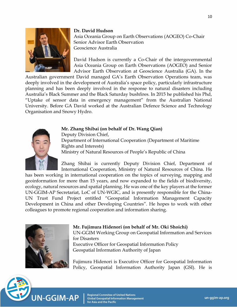
Dr. David Hudson, Asia Oceania Group on Earth Observations (AOGEO) Co-Chair and Senior Advisor for Earth Observation at Geoscience Australia, presented on the GEO communities’ mobilisation for COVID-19. He reminded the participants that during the Cholera outbreak in London in 1854 geographic information systems (GIS) were used for the first time to spatially map clusters of cholera outbreaks. He introduced the work and set-up of GEO, AOGEO and its response to COVID-19. Both, GEO and AOGEO, have earth observation for health included in their programme. When COVID-19 became an issue, there was a call to action by the GEO community. Out of this call to action, 37 projects activities and communities joined the response, such as COVID-19 dashboards, special journal editions to focus the scientific community, COVID-19 Knowledge and Data Hubs, environmental monitoring platforms to indicate economic recovery, like air quality monitoring. Furthermore, GEO expanded their work on health to a GEO Health Community of Practice and put together a coordinating point, where all the funding possibilities for COVID-19 activities are listed. Dr. David Hudson illustrated that GEOs largest contribution to COVID-19 is the food security task. The Group on Earth Observations Global Agricultural Monitoring Initiative (GEOGLAM) provides early warning and information to commodity markets about the main food types across the world, like maize, wheat, soybean and rice. The important part for COVID-19 being early warning towards food security. At cropmonitor.org a global report that flags upcoming food challenges is being published every month. COVID-19 is now an added challenge and food security risk. Dr. David Hudsons presentation is available as an attachment. Presentation Mr. Zhang Shibai (on behalf of Dr. Wang Qian)
Mr. Zhang Shibai, Deputy Divison Chief of the Department of International Cooperation at the Ministry of Natural Resources of People’s Republic of China, presented on behalf of Dr. Wang Qian, Vice-President of UN-GGIM-AP and Deputy Director General of the Department of International Cooperation at the Ministry of Natural Resources of People’s Republic of China. Mr. Zhang Shibai illustrated how GIS played an important role in fighting COVID-19 in China. They are 1) revealing the spatial and temporal pattern of the epidemic situation and the laws of spatial spread, 2) predicting the risk analysis of the spread of the epidemic situation and carry out early warning and forecast, 3) enabling infection risk assessment based on population movement spatial trajectory data, 4) allowing construction of epidemic emergency management information systems based on GIS, 5) supporting different regional epidemic situation differentiation, prevention and control and coordinated management countermeasures, 6) facilitating a social governance approach in which
4
multiple subjects participated in an epidemic crisis, 7) analysing the impact of the epidemic on the social production structure and put forward countermeasures for restoration and reconstruction and they are 8) revealing the public’s spatial perception and behaviour rules of the spread of the epidemic, to take corresponding measures. Mr. Zhang Shibais presentation is available as an attachment. Presentation Mr. Fujimura Hidenori (on behalf of Mr. Oki Shoichi)
Mr. Fujimura Hidenori, Member of the UN-GGIM Working Group on Geospatial Information and Services for Disasters and Executive Officer for Geospatial Information Policy at the Geospatial Information Authority of Japan, presented on behalf of Mr. Oki Shoichi, Vice-President of UN-GGIM-AP, Co-Chair of the UN-GGIM Working Group on Geospatial Information and Services for Disasters (WG-Disasters) and Director-General of the Geodetic Department at the Geospatial Information Authority of Japan. Mr. Fujimura Hidenori introduced the UN-GGIM WG-Disasters and showed an example of a joint project of United Nations Open GIS and United Nations Geospatial Information Section (UNGIS) on geospatial-statistics integration with WHO statistics on COVID-19. Furthermore, in a joint project with UNITAR-UNOSAT, the United Nations Open GIS Initiative started a small experiment, providing OSM Vector Tiles for Fiji, Solomon Islands and Vanuatu. From his experience Mr. Fujimura Hidenori encourages people to meet online, discuss and start experiments as these. He emphasizes the importance of partnerships and innovation. Finally, he introduced Misora, a modern web map server on a single-board PC (Rasbperry Pi) for capacity building. A project by the United Nations Vector Tile Toolkit (UNVT). Mr. Fujimura Hidenoris presentation is available as an attachment. Presentation Dr. Antonius B. Wijanarto
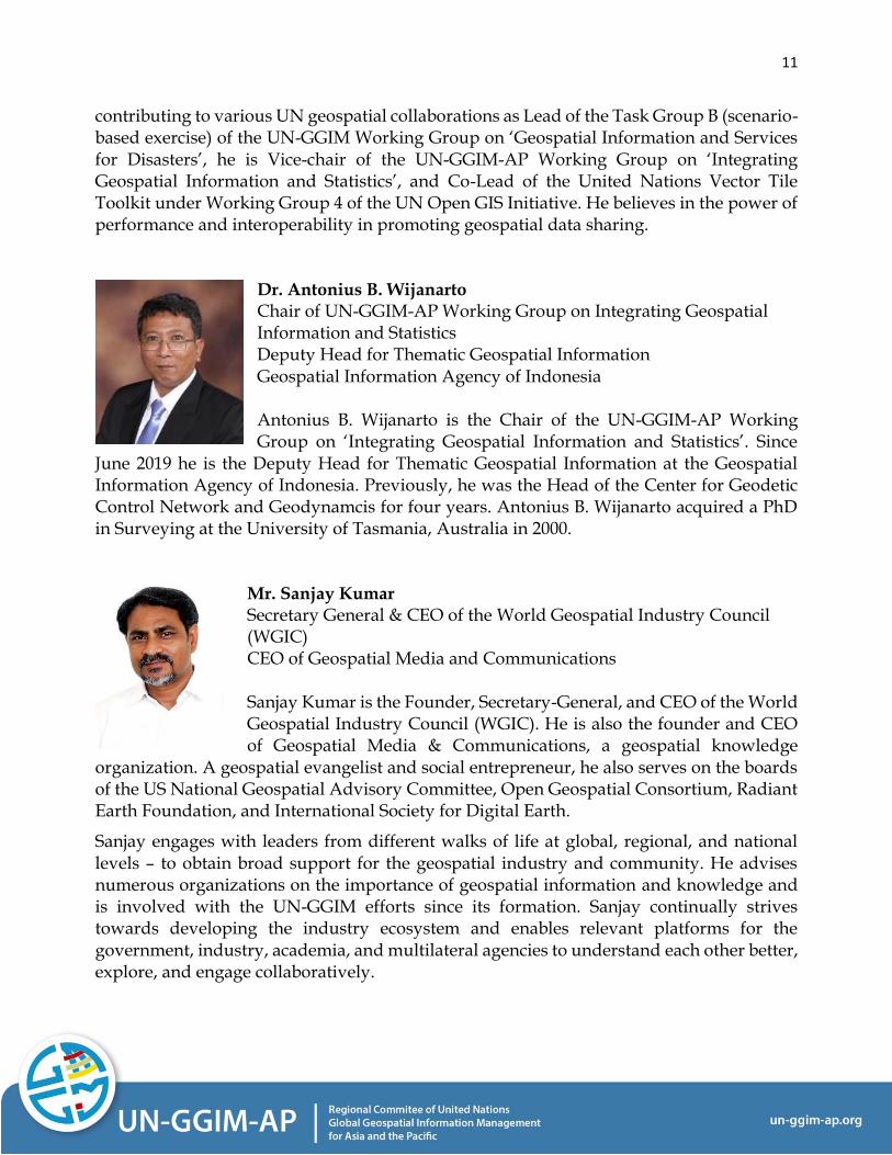
Dr. Antonius B. Wijanarto, Chair of the UN-GGIM-AP Working Group on Integrating Geospatial Information and Statistics and Deputy Head for Thematic Geospatial Information at the Geospatial Information Agency of Indonesia, presented on the the fight against COVID-19 in Indonesia. He showed the importance of valid number graphs and good maps. Valid data and graphics are necessary but creating valid maps with them creates more meaningful information. The government of Indonesia has two important frameworks for ministries and agencies to collaborate, One Map and One Data Policies. A simple model was developed to show the government, that social distancing measures can help in controlling the effects of the COVID-19 pandemic. Furthermore, he showed how the integration of geospatial and statistical data can help in producing useful products to for example analyse hotspots and improve medical facilities. It provides the government with tools for an informed decision making. Efforts of demonstrating the importance of the integration of geospatial information and statistics can be successful, if developed case by case. COVID-19 is a real
5
case example. Furthermore, commitment and collaboration among the ministries, agencies and the local government is important, to achieve these goals. The Geospatial Information Agency of Indonesia is now working closely with the SDG Secretariat of Indonesia and the Ministry of Development and Planning, to identify best practices for reporting on the SDGs with integrated geospatial and statistical data. Dr. Antonius B. Wijanartos presentation, including a video, is available as an attachment. Presentation Mr. Sanjay Kumar
Mr. Sanjay Kumar, Secretary-General of the World Geospatial Industry Council (WGIC) and CEO of Geospatial Media & Communications, presented on the COVID-19 scenario and how the WGIC members from the geospatial industry have responded. He outlined that geospatial information has been the fundamental tool for monitoring the spread. He informed the audience that the WGIC members are responding to the COVID-19 crisis by taking care of employees, clients, partners, and the border community. He underlined how various kinds of spatial Dashboards from WGIC members are helping citizens across the globe to understand the spread of the virus. Further, he said that satellite imagery is helping understand global implications of COVID-19 on human movement, vulnerabilities, global trade, and supply chains. Mr. Sanjay Kumar observed that location tracking gained significance during COVID-19. An example he gave of the Aarogya Setu App from India, for example, has more than 100 million subscribers. In this context, her underlined about the growing concerns regarding data privacy and the Privacy Policy report from WGIC addresses some key questions. Mr. Sanjay Kumar's presentation is available as an attachment. You can reach him and his team from WGIC via email - [email protected]
6
Questions and comments from the floor
1. Question from Mr. Viliami Folau, Tonga:
To Mr. Fujimura Hidenori: I see you have assisted Pacific Islands such as Solomon
Island and Vanuatu. The question is how can we the rest of the pacific islands access
the same assistance?
➔ Invitation from Mr. Fujimura for Mr. Folau and generally for anyone
interested: https://optgeo.github.io/kokoromi-sb/#15.11/-
9.431449/159.955968 is an example with Solomon Islands and I will be ready
with the same with Tonga. Basic idea of our experiments is
https://dev.to/hfu/osm-vector-tiles-together-with-ldc-lldc-and-sids-3lnf.
Let's discuss offline later. (Everyone is welcome!)
➔ Dear Viliami, OSM Vector Tiles for Tonga is ready for you at
https://optgeo.github.io/kokoromi-to/.
All the produced files are available for you at
https://github.com/optgeo/kokoromi-to.
I used one UNVT variation at https://github.com/unvt/naru . This is a
capacity building material for UNVT and is still in development. The material
will be set in summer this year.
This experimental site `kokoromi-to` shows Tonga as captured by
OpenStreetMap.
I am glad to share with you how you can do it by your own, or I can contribute
my knowledge on applying this Toolkit to your own data. In GSI we are doing
this with our own topographic map data as shown in https://gsi-
cyberjapan.github.io/gsivectortile-mapbox-gl-js/std.html . This site is a little
bit heavy, because we pushed too much data and so this site is still subject to
further optimization.
If you are further interested, let's discuss how we can move together.
Best regards, Hidenori
2. Question from Mr. Gregory Scott, UN-GGIM Secretariat:
To Mr. Sanjay Kumar: What privacy policies are associated with the location apps
you were referring to in your example for India? What is the level of
understanding/compliance by the users?
➔ India has data protection and privacy policy and there is growing concern
amongst civil society that government may use app data for political
purposes. as well as there is threat perception that data may not safe and could
be used by commercial companies who are associated with management of
this app.
7
3. Question from Mr. Ilham Alimmudin, SDG Makassar, Indonesia:
To all panellists: My question would be the issue of primary data acquisition,
especially spatial data as this is the main data to show on the distribution map, maybe
each panellist can comment on this patient’s location.
➔ Answer from Dr. David Hudson:
Regarding the issue of primary data acquisition used for distribution maps,
this is a highly complex topic if you want a higher resolution than country.
Firstly, you start with a confirmed detection. Their full location history needs
to be established for contact tracing, this will include the location of their home
- this is their primary location used in most types of distribution maps.
Following this you need to consider the local privacy laws and norms. In many
countries, such as Australia, only province, sometimes suburb and if part of a
cluster workplace can be disclosed publicly.
➔ Answer from Mr. Fujimura Hidenori:
I agree with Mr. Ilman Alimmudin on the importance of spatial data
acquisition. My project – the United Nations Vector Tile Toolkit – will be able
to contribute by shortening the turn-around-time from data update to web
map dissemination. We have other partners in the WG-Disasters Task Group
B who are potentially interested in spatial data acquisition. Maybe we can
have a space to share potential use cases so that we can think about how we
can collaborate with each other.
➔ Answer from Mr. Zhang Shibai:
To my understanding, most of us have some kind of geospatial information
service platforms and are open sourced. Based on the platform, we can
develop a COVID-19 mitigation system, the primary data, such as the near
real-time global and national epidemic data, hospital and picnic information,
epidemic data from certain residential areas (community) are provided by the
medical and health authorities at all levels, these information were then added
to the system and keep updating. Regarding the location information of
hospitals and clinics, it was provided by internet map service company. We
cannot show the exact location and trajectory of infected cases because of
privacy, but the information provided by medical and health authorities
includes the name and location of the persons residential area (community)
and possible routes and will be displayed in the COVID-19 mitigation system
for early warning purposes.
8
4. Comment from Mr. Sanath Panawennage, Sri Lanka:
In Sri Lanka, we developed a comprehensive software platform together with a
Mobile App to facilitate monitoring and geospatial mapping of compliance with
COVID-19 Health Guidelines by different workplaces
→ More information is attached in a separate file.
5. Comment from the National Geographic Information Institute (NGII), Republic of
Korea:
We would like to share the case of the Republic of Korea after the panel discussion.
→ Information provided by NGII is attached in a separate file.
9
Panellists
Ms. Alison Rose President of UN-GGIM-AP
Chief of Place, Space and Communities Division Geoscience Australia
Alison Rose was recently appointed the Chief of Geoscience Australia’s Place, Space and Communities Division. Prior to her appointment, Alison led the Border Intelligence Support to Operations branch at the
Department of Home Affairs providing integrated intelligence support to the Australian Border Force on migration systems, trade enforcement and border protection priorities.
Previously, Alison held senior executive positions within both the private and public sector, including Director of National Government Industry Solutions with Esri – a US-based GIS technology company; delivery of the Department of Defence’s corporate and geospatial ICT programs and projects and enterprise information management implementation; and, leadership of the Australian Geospatial-Intelligence Organisation’s foundation mapping, advanced analytics, training and tradecraft, data and collection management, and customer services.
Ms. Tiziana Bonapace Secretariat of UN-GGIM-AP Director, ICT and Disaster Risk Reduction Division, United Nations Economic and Social Commission for Asia and the Pacific (ESCAP) Tiziana Bonapace is Director of Information and Communications Technology and Disaster Risk Reduction Division, of the United
Nations Economic and Social Commission for Asia and the Pacific (ESCAP). Prior to this, Ms. Bonapace was Head of the Subregional Office for North and Central Asia, ESCAP.
Ms. Bonapace is an international development economist, who joined the UN in 1990. Since 2016, Ms. Bonapace has led ESCAP’s ICT and Disaster Risk Reduction programme which seeks to build resilience to disasters through improved connectivity and technological innovation. Throughout her UN career, Ms. Bonapace has led the preparation of studies, research and analytical papers and has participated as a panelist and resource person in many meetings of senior government officials and business leaders.
10
Dr. David Hudson Asia Oceania Group on Earth Observations (AOGEO) Co-Chair Senior Advisor Earth Observation Geoscience Australia David Hudson is currently a Co-Chair of the intergovernmental Asia Oceania Group on Earth Observations (AOGEO) and Senior Advisor Earth Observation at Geoscience Australia (GA). In the
Australian government David managed GA’s Earth Observation Operations team, was deeply involved in the development of Australia’s space policy, particularly infrastructure planning and has been deeply involved in the response to natural disasters including Australia’s Black Summer and the Black Saturday bushfires. In 2015 he published his Phd, “Uptake of sensor data in emergency management” from the Australian National University. Before GA David worked at the Australian Defence Science and Technology Organisation and Snowy Hydro.
Mr. Zhang Shibai (on behalf of Dr. Wang Qian) Deputy Division Chief, Department of International Cooperation (Department of Maritime Rights and Interests) Ministry of Natural Resources of People’s Republic of China Zhang Shibai is currently Deputy Division Chief, Department of International Cooperation, Ministry of Natural Resources of China. He
has been working in international cooperation on the topics of surveying, mapping and geoinformation for more than 15 years, and now expanded to the fields of biodiversity, ecology, natural resources and spatial planning. He was one of the key players at the former UN-GGIM-AP Secretariat, LoC of UN-WGIC, and is presently responsible for the China-UN Trust Fund Project entitled “Geospatial Information Management Capacity Development in China and other Developing Countries”. He hopes to work with other colleagues to promote regional cooperation and information sharing.
Mr. Fujimura Hidenori (on behalf of Mr. Oki Shoichi) UN-GGIM Working Group on Geospatial Information and Services for Disasters Executive Officer for Geospatial Information Policy Geospatial Information Authority of Japan Fujimura Hidenori is Executive Officer for Geospatial Information Policy, Geospatial Information Authority Japan (GSI). He is
11
contributing to various UN geospatial collaborations as Lead of the Task Group B (scenario-based exercise) of the UN-GGIM Working Group on ‘Geospatial Information and Services for Disasters’, he is Vice-chair of the UN-GGIM-AP Working Group on ‘Integrating Geospatial Information and Statistics’, and Co-Lead of the United Nations Vector Tile Toolkit under Working Group 4 of the UN Open GIS Initiative. He believes in the power of performance and interoperability in promoting geospatial data sharing.
Dr. Antonius B. Wijanarto Chair of UN-GGIM-AP Working Group on Integrating Geospatial Information and Statistics Deputy Head for Thematic Geospatial Information Geospatial Information Agency of Indonesia Antonius B. Wijanarto is the Chair of the UN-GGIM-AP Working Group on ‘Integrating Geospatial Information and Statistics’. Since
June 2019 he is the Deputy Head for Thematic Geospatial Information at the Geospatial Information Agency of Indonesia. Previously, he was the Head of the Center for Geodetic Control Network and Geodynamcis for four years. Antonius B. Wijanarto acquired a PhD in Surveying at the University of Tasmania, Australia in 2000.
Mr. Sanjay Kumar Secretary General & CEO of the World Geospatial Industry Council (WGIC) CEO of Geospatial Media and Communications Sanjay Kumar is the Founder, Secretary-General, and CEO of the World Geospatial Industry Council (WGIC). He is also the founder and CEO of Geospatial Media & Communications, a geospatial knowledge
organization. A geospatial evangelist and social entrepreneur, he also serves on the boards of the US National Geospatial Advisory Committee, Open Geospatial Consortium, Radiant Earth Foundation, and International Society for Digital Earth.
Sanjay engages with leaders from different walks of life at global, regional, and national levels – to obtain broad support for the geospatial industry and community. He advises numerous organizations on the importance of geospatial information and knowledge and is involved with the UN-GGIM efforts since its formation. Sanjay continually strives towards developing the industry ecosystem and enables relevant platforms for the government, industry, academia, and multilateral agencies to understand each other better, explore, and engage collaboratively.
12
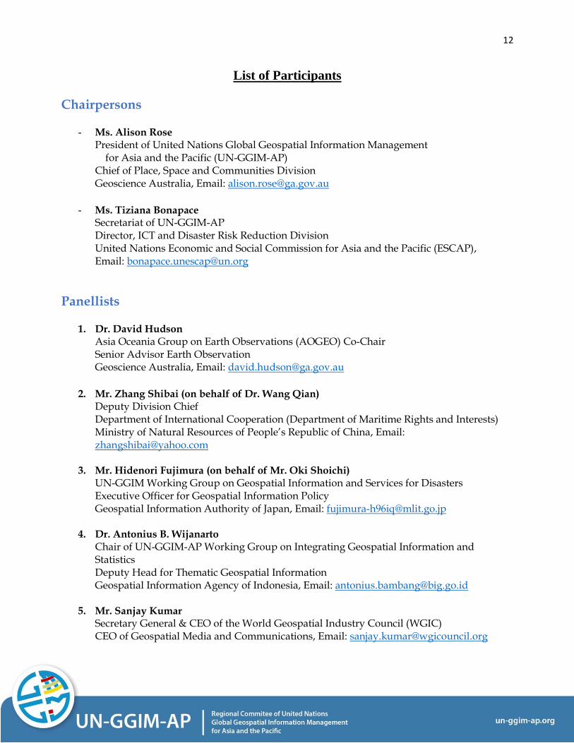
List of Participants
Chairpersons
- Ms. Alison Rose President of United Nations Global Geospatial Information Management for Asia and the Pacific (UN-GGIM-AP) Chief of Place, Space and Communities Division Geoscience Australia, Email: [email protected]
- Ms. Tiziana Bonapace
Secretariat of UN-GGIM-AP Director, ICT and Disaster Risk Reduction Division
United Nations Economic and Social Commission for Asia and the Pacific (ESCAP), Email: [email protected]
Panellists
1. Dr. David Hudson Asia Oceania Group on Earth Observations (AOGEO) Co-Chair Senior Advisor Earth Observation Geoscience Australia, Email: [email protected]
2. Mr. Zhang Shibai (on behalf of Dr. Wang Qian)
Deputy Division Chief Department of International Cooperation (Department of Maritime Rights and Interests) Ministry of Natural Resources of People’s Republic of China, Email: [email protected]
3. Mr. Hidenori Fujimura (on behalf of Mr. Oki Shoichi) UN-GGIM Working Group on Geospatial Information and Services for Disasters Executive Officer for Geospatial Information Policy Geospatial Information Authority of Japan, Email: [email protected]
4. Dr. Antonius B. Wijanarto Chair of UN-GGIM-AP Working Group on Integrating Geospatial Information and Statistics Deputy Head for Thematic Geospatial Information Geospatial Information Agency of Indonesia, Email: [email protected]
5. Mr. Sanjay Kumar Secretary General & CEO of the World Geospatial Industry Council (WGIC) CEO of Geospatial Media and Communications, Email: [email protected]
13
AUSTRALIA
Ms. Anna Riddell, Australian Geospatial Reference System Team Leader, Geoscience Australia, Email: [email protected]
BHUTAN
Mr. Kinzang Thinley, Specialist Geodesy, National Land Commission Secretariat, Thimphu, Bhutan, Email: [email protected]
BRUNEI DARUSSALAM
Ms. Zetty Hamid, Surveyor, Survey Department, Brunei Darussalam, Email: [email protected]
CHINA
Ms. Huimin Hu, Project Officer, Ministry of Natural Resources, People’s Republic of China, Email: [email protected]
GUYANA, SOUTH AMERICA
Ms. Karen Anthony, Senior GIS Analyst, Guyana Lands and Surveys Commission (GLSC), Email: [email protected]
INDIA
Ms. Kshama Gupta, Scientist/Engineer, Indian Institute of Remote Sensing, Indian Space Research Organisation (ISRO), Email: [email protected] Mr. Shiva Reddy Koti, Scientist/Engineer 'SE', Indian Institute of Remote Sensing, Indian Space Research Organisation (ISRO), Email: [email protected] Mr. Sameer Saran, Geoinformatics, Indian Institute of Remote Sensing, Indian Space Research Organisation (ISRO), Email: [email protected]
Mr. Pramod Kumar, Group Head, Indian Institute of Remote Sensing (IIRS), Email: [email protected] Mr. S.P. Aggarwal, Scientist, Indian Institute of Remote Sensing (IIRS), Email: [email protected]
14
INDONESIA
Prof. Hasanuddin Zainal Abidin, Chairman, Geospatial Information Agency of Indonesia (Badan Informasi Geospasial/BIG), Email: [email protected] Mr. Abed Nego Baputra, Geospatial Information Analyst, Geospatial Information Agency, Email: [email protected] Mr. Aldila Pradhana, Mapping Surveyor, Geospatial Information Agency, Email: [email protected] Mr. Muhammad Haidar, Mapping Surveyor, Geospatial Information Agency, Email: [email protected] Ms. Septian Dewi Cahyani, Map Surveyor, Geospatial Information Agency, Email: [email protected] Ms. Larassita Ninda, Surveyor, Geospatial Information Agency, Email: [email protected] Mr. Arief Syafii, Deputy Chairman, Geospatial Information Agency, Email: [email protected] Ms. Ratna Sari Dewi, Researcher, Geospatial Information Agency, Email: [email protected]
Ms. Diah Retno Minarni, Kepala Bidang Pemetaan Dinamika Sumberdaya, Geospatial Information Agency, Email: [email protected] Mr. Sal Nurghani, Public Relation, Geospatial Information Agency, Email: [email protected] Mr. Gunawan Gunawan, Surveyor, Geospatial Information Agency, Email: [email protected] Mr. Aji Putra Perdana, St Geospatial Information Agency, Email: [email protected]
Mr. Bayulodie Vallianto, Information Systems Analyst, Indonesian National Institute of Aeronautics and Space (LAPAN), Email: [email protected]
15
Mr. Ayom Widipaminto, Programme and Facility Coordinator, Indonesian National Institute of Aeronautics and Space (LAPAN), Email: [email protected] Mr. Fauzan Al Ayyubi, Engineer, Indonesian National Institute of Aeronautics and Space (LAPAN), Email: [email protected] Mr. Steward Augusto, Engineer, Indonesian National Institute of Aeronautics and Space (LAPAN), Email: [email protected]
JAPAN
Mr. Taro Ubukawa, Senior Geospatial Expert, UN Geospatial Information Section, Email: [email protected] Mr. Ken Ando, Director in Charge, Japan Agency for Marine-Earth Science and Technology (JAMSTEC), Email: [email protected]
Ms. Yoko Kadoya, Advisor, MGA, Cabinet Office, Email: [email protected]
MALAYSIA
Mr. Azlikamil Napiah, Director General, Malaysian Space Agency (MYSA), Email: [email protected] Mr. Mohd Yunus Mohd Yusoff, Director of Geodetic Survey Division, Department of Survey and Mapping Malaysia, Email: [email protected]; [email protected] Mr. Keat Lim Chan, Director of Survey (Cadastral Division), Department of Survey and Mapping Malaysia, Email: [email protected] Ms. Nur Zurairah Abdul Halim, Surveyor , Department of Survey and Mapping Malaysia, Email: [email protected]; [email protected]
MONGOLIA
Ms. Bayarmaa Enkhtur, Head of Geospatial Information and Technology Department, Agency for Land Administration and Management, Geodesy and Cartography, Email: [email protected]
16
MYANMAR
Mr. Kyaw Moe Oo, Director General, Department of Meteorology and Hydrology, Email: [email protected] Mr. Kyaw Lwin Oo, Director, Department of Meteorology and Hydrology, Email: [email protected] Ms. Htay Than, Director, Department of Meteorology and Hydrology, Email: [email protected] Mr. Tin Mar Htay, Meteorologist, Department of Meteorology and Hydrology, Email: [email protected]
NEPAL
Mr. Megh Nath Kafle, Director General, National Focal Point, Forest Research and Training Centre, Ministry of Forests and Environment, Nepal, Email: [email protected]
NEW ZEALAND
Mr. Karl Majorhazi, Senior Design Analyst - Geospatial, Statistics New Zealand (Stats NZ), Email: [email protected] Mr. Robert Deakin, Manager Resilience, Land Information New Zealand, Email: [email protected]
PHILIPPINES
Mr. Benjamin Balais, Assistant Director, Geospatial Information Management Branch, National Mapping and Resource Information Authority, Email: [email protected]
THAILAND
Mr. Tatiya Chuentragun, Acting Deputy Director, Geoinformatics and Space Technology Development Agency (Public organization) (GISTDA), Email: [email protected] Mr. Poramet Thuwakham, Geo-Informatics Scientist, Geoinformatics and Space Technology Development Agency (Public organization) (GISTDA), Email: [email protected]
17
TONGA
Mr. Viliami Folau, Chief Geodetic Surveyor, Ministry of Lands and Natural Resources, Email: [email protected] Mr. Semisi Taufa, Computer Programmer, Ministry of Lands, Email: [email protected]
USA
Ms. Allison Craddock, Director, International GNSS Service Central Bureau, NASA Jet Propulsion Laboratory, Email: [email protected]
UNITED NATIONS BODIES AND OTHER ENTITIES
Food and Agriculture Organization of the United Nations (FAO)
Mr. Aziz Elbehri, Food and Agriculture Organization of the United Nations (FAO), Senior Economist, Email: [email protected]
United Nations Women (UN Women)
Ms. Inkar Kadyrzhanova, Programme Specialist, United Nations Women (UN Women), Email: [email protected]
United Nations Department of Economic and Social Affairs (DESA)
Mr. CheeHai Teo, Senior Statistician, Global Geospatial Information Management Section, United Nations Department of Economic and Social Affairs (DESA), Email: [email protected] Ms. Cecille Blake, Statistician, United Nations Department of Economic and Social Affairs (DESA), Email: [email protected]
United Nations Development Programme (UNDP)
Mr. Sanny Jegillos, Senior Advisor, United Nations Development Programme (UNDP), Email: [email protected]
18
United Nations Population Fund (UNFPA)
Mr. Mahboob E Alam, Chief a.i., & NPO-PPR, United Nations Population Fund (UNFPA), Email: [email protected] Ms. Mai Le, Population and Development Specialist, United Nations Population Fund (UNFPA), Email: [email protected] Mr. Christophe Lefranc, Technical Adviser on population and development (census and data), United Nations Population Fund (UNFPA), Email: [email protected] Mr. Tirtha Man Tamang, Programme Analyst, United Nations Population Fund (UNFPA), Email: [email protected] Ms. Poorani Radhakrishnan, Programme Analyst Population Data and Ageing, United Nations Population Fund (UNFPA), Email: [email protected] Mr. Muqaddar Shah, Programme Specialist, United Nations Population Fund (UNFPA), Email: [email protected] Mr. Robert Stevens, Special Assistant, United Nations Population Fund (UNFPA), Email: [email protected]
World Food Programme (WFP)
Mr. Benny Istanto, GIS Officer, World Food Programme (WFP), Email: [email protected] Mr. M. Warizmi Wafiq, GIS Specialist, World Food Programme (WFP) Indonesia, Email: [email protected]
UN-GGIM Secretariat and United Nations Statistics Division (UNSD)
Mr. Greg Scott, UN-GGIM Secretariat and United Nations Statistics Division (UNSD), Email: [email protected] Mr. Mark Iliffe, Statistician, UN-GGIM Secretariat and United Nations Statistics Division (UNSD), Email: [email protected]
19
UN-GGIM-AP Secretariat and United Nations Economic and Social Commission for Asia and the Pacific
(ESCAP)
Mr. Keran Wang, UN-GGIM-AP Secretariat and Chief, Space Applications Section, ICT and Disaster Risk Reduction Division, ESCAP, Email: [email protected] Mr. Tae Hyung Kim, UN-GGIM-AP Secretariat and Economic Affairs Officer, Space Applications Section, ICT and Disaster Risk Reduction Division, ESCAP, Email: [email protected] Ms. Verena Kausche, UN-GGIM-AP Secretariat and Associate Programme Officer of ICT and Disaster Risk Reduction Division, ESCAP, Email: [email protected] Ms. Patricia Budiyanto, Staff Assistant, Space Applications Section, ICT and Disaster Risk Reduction Division, ESCAP, Email: [email protected] Ms. Amporn Jaturasatienchai, Programme Assistant, ICT and Disaster Risk Reduction Division, ESCAP, Email: [email protected] Mr. Sanjay Srivastava, Chief of Disaster Risk Reduction Section, ICT and Disaster Risk Reduction Division, ESCAP, Email: [email protected] Ms. Kelly Hayden, Economic Affairs Officer, Space Applications Section, ICT and Disaster Risk Reduction Division, ESCAP, Email: [email protected] Ms. Juliet Braslow, Associate Economic Affairs Officer, Space Applications Section, ICT and Disaster Risk Reduction Division, ESCAP, Email: [email protected] Ms. Ingrid Dispert, Associate Programme Officer, Space Applications Section, ICT and Disaster Risk Reduction Division, ESCAP, Email: [email protected] Mr. Michael Williamson, Chief of Sustainable Development Section, Energy Division, ESCAP, Email: [email protected] Mr. Matthew Perkins, Economic Affairs Officer, Environment and Development Division, ESCAP, Email: [email protected] Mr. David Ferrari, Economy Affairs Officer, Energy Division, ESCAP, Email: [email protected]
20
Ms. Ayodele Marshall, Associate Statistician, Statistics Division, ESCAP, Email: [email protected] Mr. David Rausis, Associate Statistician, Statistics Division, ESCAP, Email: [email protected] Ms. Afsaneh Yazdani, Statistician, Statistics Division, ESCAP, Email: [email protected] Ms. Eileen Capilit, Statistician, Statistics Division, ESCAP, Email: [email protected] Mr. Anil Sharma, ICT Security, Information Management, Communications and Technology Section (IMCTS), Division of Administration, ESCAP, Email: [email protected] Ms. Prangya Paramita Gupta, Consultant, Disaster Risk Reduction Section, ICT and Disaster Risk Reduction Division, ESCAP, Email: [email protected] Mr. Aahlaad Musunuru, GIS Consultant, Statistics Division, ESCAP, Email: [email protected] Ms. Rishika Rai, Intern, Subregional Office for South and South-West Asia (SSWA), ESCAP, Email: [email protected] Mr. Hyungbo Kim, Consultant, Space Applications Section, ICT and Disaster Risk Reduction Division, ESCAP, Email: [email protected] Ms. Linda Li, Consultant, Space Applications Section, ICT and Disaster Risk Reduction Division, ESCAP, Email: [email protected] Ms. Yukhontorn Suewaja, Programme Assistant, ICT and Disaster Risk Reduction Division, ESCAP, Email: [email protected] Ms. Pradtana Limkrailassiri, ICT and Disaster Risk Reduction Division, ESCAP, Email: [email protected] Mr. Taeook Kang, Intern, Space Applications Section, ICT and Disaster Risk Reduction Division, ESCAP, Email: [email protected] Mr. Hanqian Zhang, Intern, Space Applications Section, ICT and Disaster Risk Reduction Division, ESCAP, Email: [email protected]
21
OTHER INTERNATIONAL ORGANIZATIONS
Aerospace Information Research Institute, Chinese Academy of Sciences (AIR-CAS)
Ms. Yan Liu, Researcher, Aerospace Information Research Institute, Chinese Academy of Sciences (AIR-CAS), Email: [email protected]
Bill & Melinda Gates Foundation (BMGF)
Mr. Vincent Seaman, Senior Program Officer, Bill & Melinda Gates Foundation (BMGF), Email: [email protected]
Centre for Space Science and Technology Education in Asia Pacific (CSSTEAP)
Ms. Anuradha Silva, Student, Centre for Space Science and Technology Education in Asia Pacific (CSSTEAP), Email: [email protected]
e-GEOS
Mr. Pier Francesco Cardillo, Head of Digital Transformation, e-GEOS, Email: [email protected]
Environmental Systems Research Institute (ESRI)
Mr. Charles Brigham, Account Executive, ERSI, Email: [email protected]
Geospatial Media
Ms. Anamika Das, Vice President, Geospatial Media, Email: [email protected]
Hasanuddin University
Mr. Ilham Alimuddin, Lecturer, Hasanuddin University, Email: [email protected]
Hexagon
Mr. Shien Kwun Leong, GNSS Network Support Engineer, Hexagon, Email: [email protected]

22
Institut Géographique du Burkina (IGB)
Mr. Korogo Bertin, Senior Manager in Geo-information, Institut Géographique du Burkina (IGB), Email: [email protected] Mr. Oumar Sanon, Geographer, Institut Géographique du Burkina (IGB), Email: [email protected]
Leica Geosystems Technologies Pte Ltd.
Mr. Neil Aahcroft, Regional GNSS Reference Station Manager, Leica Geosystems Technologies Pte Ltd., Email: [email protected] Mr. Ahmad Nashriq, Regional Technical Support Engineer, Leica Geosystems Technologies Pte Ltd., Email: [email protected] Ms. Hazlinda Nuron, Marketing, Leica Geosystems Technologies Pte Ltd., Email: [email protected]
LX Corporation Korea
Mr. John Khan Yun, Director, LX Corporation Korea, Email: [email protected] Mr. Ung Yong Park, Manager, LX Corporation Korea, Email: [email protected] Mr. Taikjin Kim, Executive Officer of Spatial Data Infrastructure, LX Corporation Korea, Email: [email protected]
Keio University
Prof. Mr. Yasushi Kiyoki, Professor in Database & Data Mining, Keio University, Email: [email protected]
Southwest Jiaotong University
Prof. Mr. Saeid Pirasteh, Professorship and Head of GeoAI Smarter Map and LiDAR Lab, Southwest Jiaotong University, China, Email: [email protected]
23
Sparx Systems
Mr. Ken Harkin, Head of Strategic Relations, Sparx Systems, Email: [email protected]
Spatial Vision
Mr. Zaffar Sadiq Mohamed Ghouse, Executive Director, Spatial Vision, Email: [email protected]
World Geospatial Industry Council (WGIC)
Mr. Remco Takken, Associate Director Partnerships and Industry Engagement, World Geospatial Industry Council (WGIC), Email: [email protected] Mr. Harsha Vardhan Madiraju, Associate Director, Member Recruitment and Marketing, World Geospatial Industry Council (WGIC), Email: [email protected] Mr. Derek Clarke, Advisor, World Geospatial Industry Council (WGIC), Email: [email protected]
24
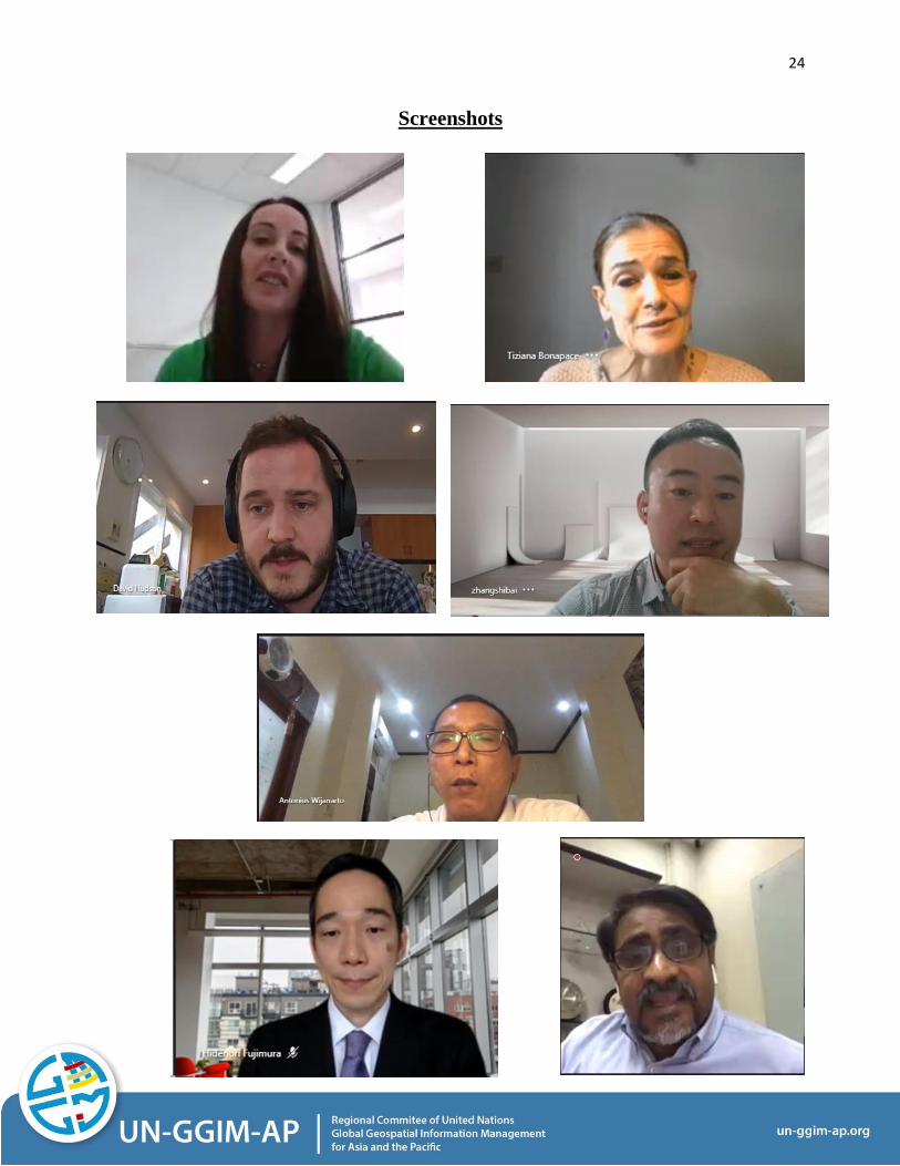
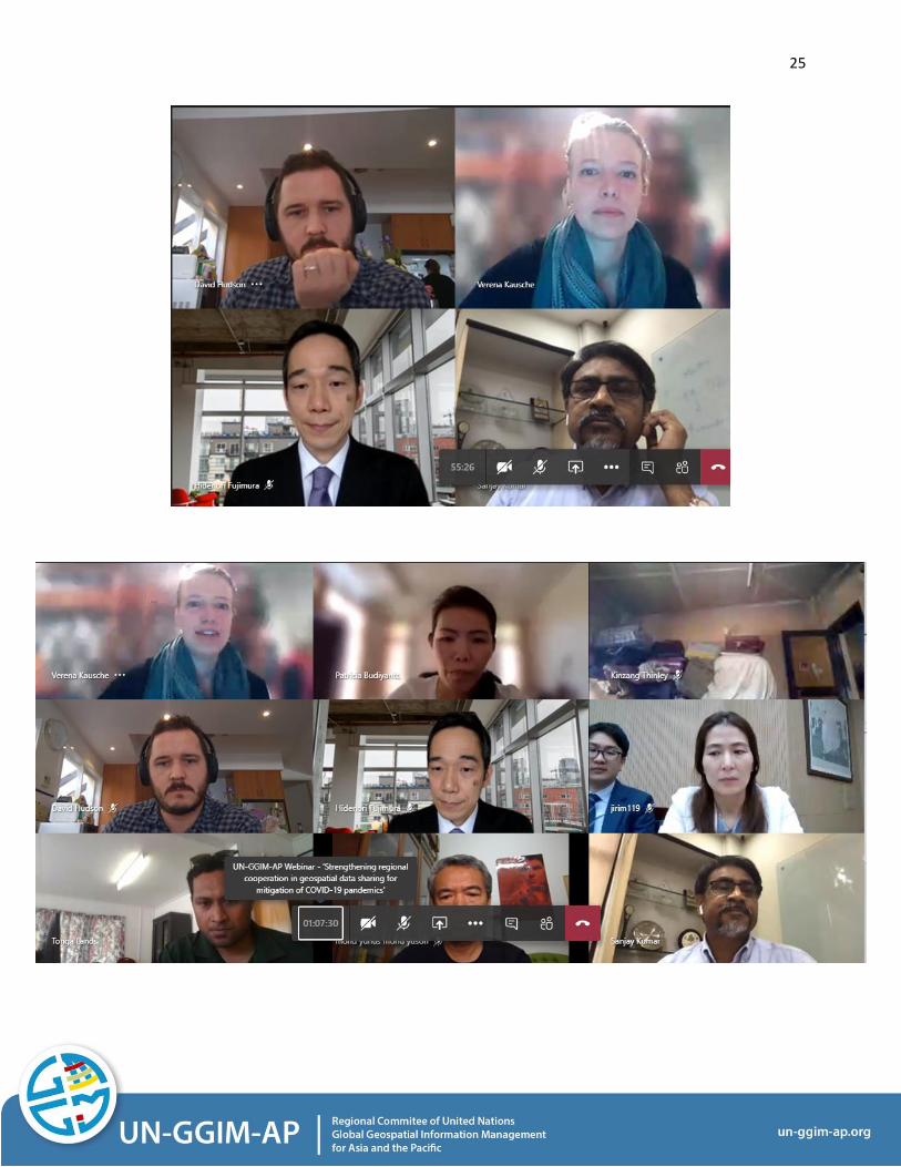
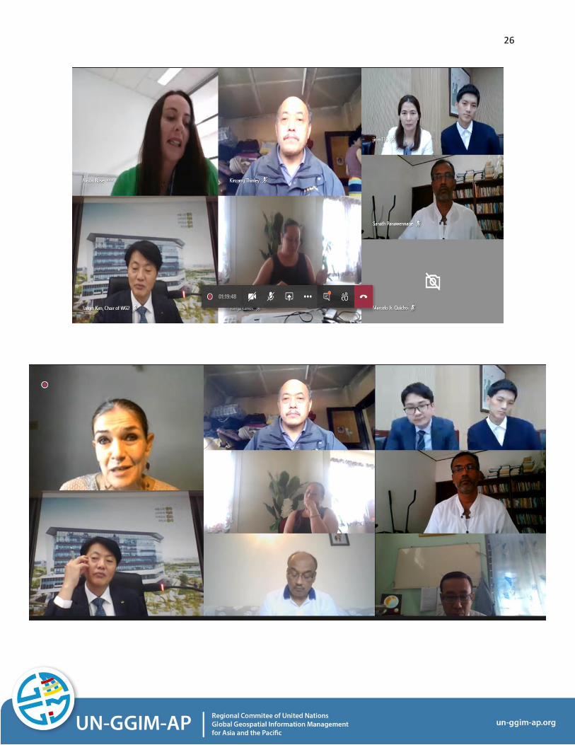
Screenshots
25
26
Related Documents