Water Layer Map for On The Road Again Farm • Nancy E. Buddington

Welcome message from author
This document is posted to help you gain knowledge. Please leave a comment to let me know what you think about it! Share it to your friends and learn new things together.
Transcript
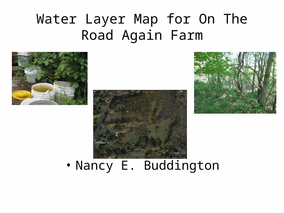
Water Layer Map for On The Road Again Farm
• Nancy E. Buddington

• This week time was spent completing a water analysis of our homestead site. The water analysis guidelines helped direct me to resources that provided valuable information on how water flows through the property.
• Sources for this information included the town of Wilbraham’s GIS; the Ma Oliver website and the NRCS Soil Survey Map.
• Our homestead is located at the foot of the eastern side of Wilbraham Mountain. The property slopes easterly from an elevation of 548 feet above sea level at the western edge to 1369 feet at its northeast corner.

• Precipitation travels down this slope from northeast to southwest and empties into three distinctive streams.

• The two northern tributaries are part of the Chicopee River watershed. They empty into wetland, marsh areas. The western most marsh lies just south of the northeast pasture.

• The more southern stream marks the head waters of the northern branch of the Mill River. This tributary follows contour lines from 1002 feet to 548 feet exiting the property at the southern border.
• Several marshes and vernal pools are found along this water way. These pools are situated east of the east pasture. This is part of the Mill River watershed.

Soil Types
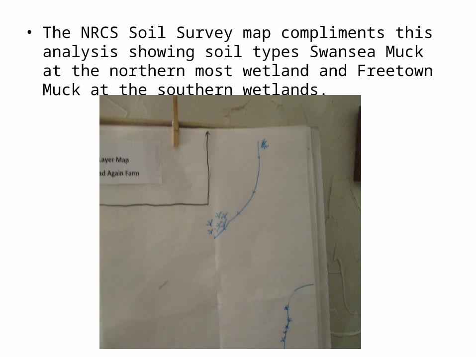
• The NRCS Soil Survey map compliments this analysis showing soil types Swansea Muck at the northern most wetland and Freetown Muck at the southern wetlands.

• A natural spring located east and south of the property previously provided water to the farm. This was contaminated sometime after the Memorial school was constructed .
• The house and barn are now supplied with town water. This enters the property on the southwest side of the house. The house is also hooked up to the town sewer system which exits the property south and west of the house.
• The house has a series of gutters that direct water into garden beds, the street and many buckets. The home owner uses this water to irrigate many indoor and outdoor plants


• The previous map shows the probability of flooding at this site as only .2%. The soil type in the delineated area is a sandy loam. Drainage is good and I have never observed standing water.

Water Layer Map
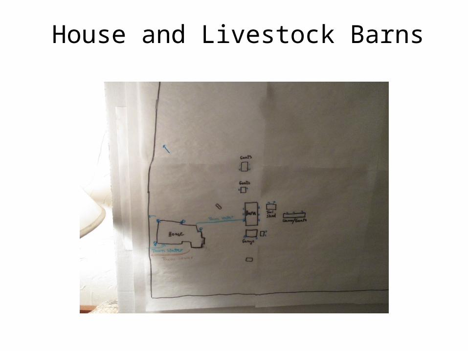
House and Livestock Barns
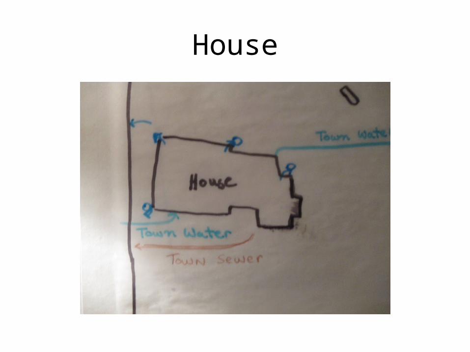
House
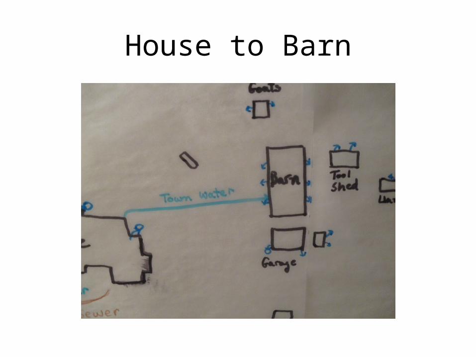
House to Barn

• The main challenges to managing water at the site is collection and transport. There is no evidence of past irrigation systems. A garden that was placed west of the house was situated in zone 1, close enough to the house for manually watering using rain water collected or using a hose and sprinkler. Any gardens placed west of the barn would need a system of irrigation.
• Five gallon water buckets are carried from the barn to the livestock. There are old bath tubs placed in various locations. They do not hold water at this point in time but might be modified as collection vessels and used in a catchment system.
• Getting water to our goats in a rotational grazing program would need a plan which might include creation of a pond or designing a catchment system off temporary livestock shelters.

• There was a wealth of information provided in Chapter 10 of Peter Banes book, Permaculture Handbook. Defining the process of storing water as catching, concentrating, filtering, storing it securely and releasing it safely and economically ( pg 155 ) spells out to me a methodical means of devising catchment systems that could work on our farm.
• I learned that our asphalt roofing is not the ideal but with filtering we can minimize the amount of grit in the water.
• As Bane suggested, if we construct new buildings, using enameled metal roofing or even wood shakes would be better than asphalt.
• The other water management technique that I will be researching in depth is the handling and distribution of grey water especially that generated from our goat dairy.
• We had thought of using a 70 gal grey water holding take with a sump pump and floater valve that would naturally empty into a garden trench using a subsurface perforated drainpipe. This would solve the problem for the town not wanting whey and milk solids in the sewer system.
Related Documents