
Using GeoServer with NASA WorldWind
May 13, 2015
Welcome message from author
This document is posted to help you gain knowledge. Please leave a comment to let me know what you think about it! Share it to your friends and learn new things together.
Transcript
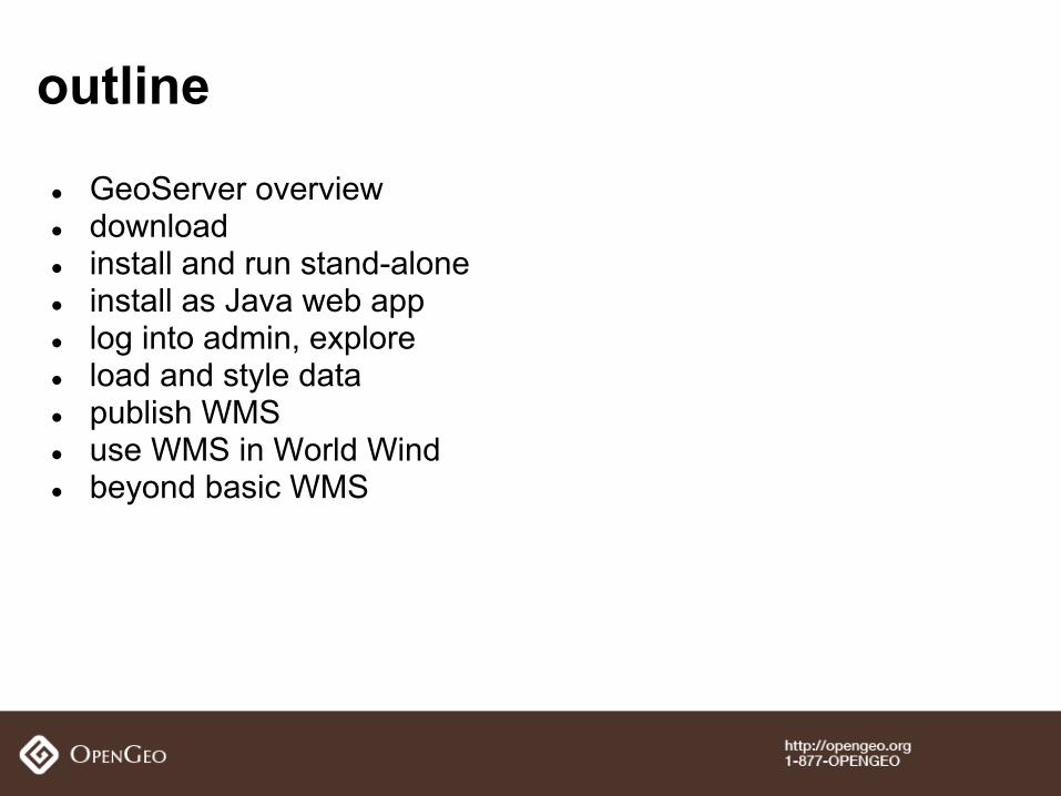
● GeoServer overview● download● install and run stand-alone● install as Java web app● log into admin, explore● load and style data● publish WMS ● use WMS in World Wind ● beyond basic WMS
outline
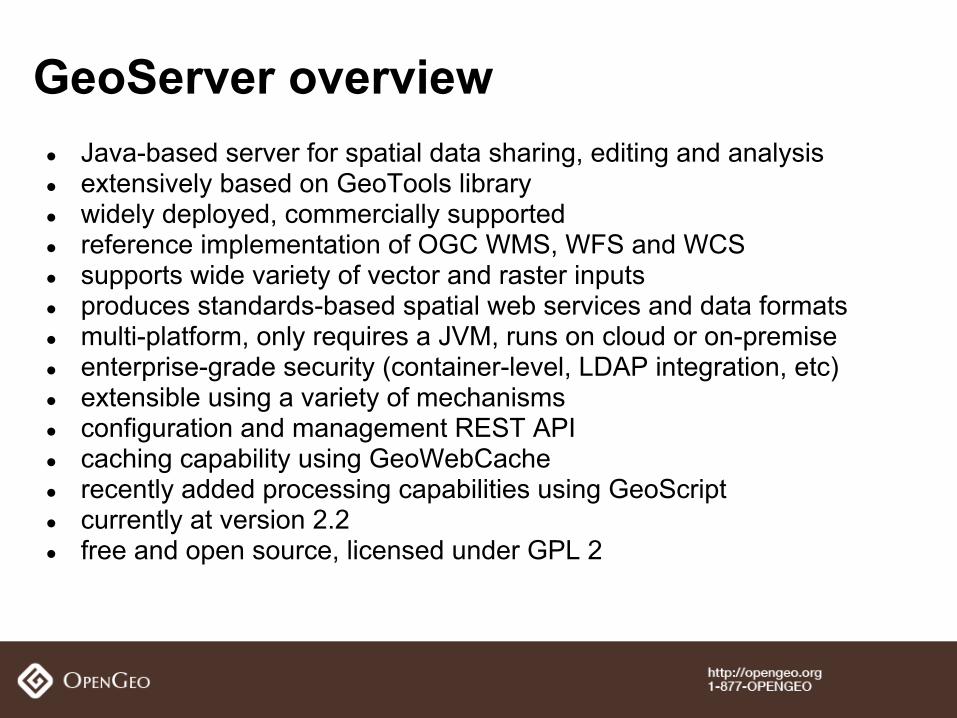
● Java-based server for spatial data sharing, editing and analysis● extensively based on GeoTools library● widely deployed, commercially supported● reference implementation of OGC WMS, WFS and WCS● supports wide variety of vector and raster inputs● produces standards-based spatial web services and data formats● multi-platform, only requires a JVM, runs on cloud or on-premise● enterprise-grade security (container-level, LDAP integration, etc)● extensible using a variety of mechanisms● configuration and management REST API● caching capability using GeoWebCache● recently added processing capabilities using GeoScript● currently at version 2.2● free and open source, licensed under GPL 2
GeoServer overview
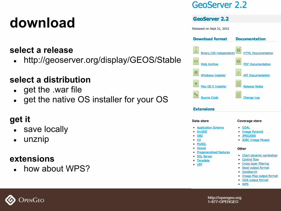
select a release● http://geoserver.org/display/GEOS/Stable
select a distribution● get the .war file ● get the native OS installer for your OS
get it● save locally● unznip
extensions● how about WPS?
download
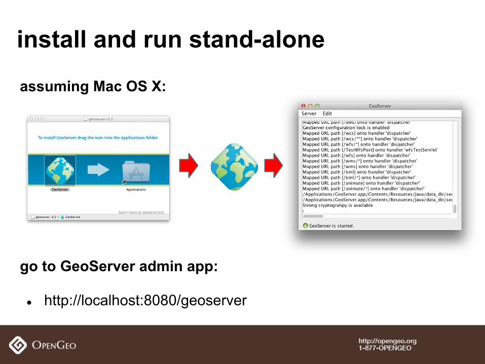
assuming Mac OS X:
go to GeoServer admin app:
● http://localhost:8080/geoserver
install and run stand-alone
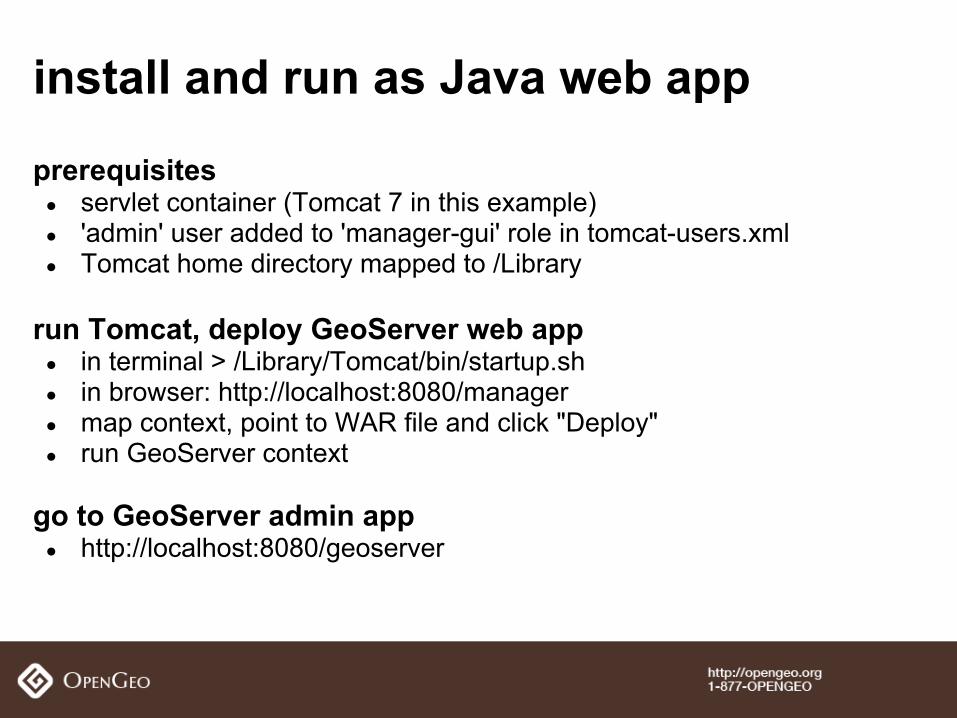
prerequisites● servlet container (Tomcat 7 in this example)● 'admin' user added to 'manager-gui' role in tomcat-users.xml ● Tomcat home directory mapped to /Library
run Tomcat, deploy GeoServer web app● in terminal > /Library/Tomcat/bin/startup.sh● in browser: http://localhost:8080/manager● map context, point to WAR file and click "Deploy"● run GeoServer context
go to GeoServer admin app● http://localhost:8080/geoserver
install and run as Java web app
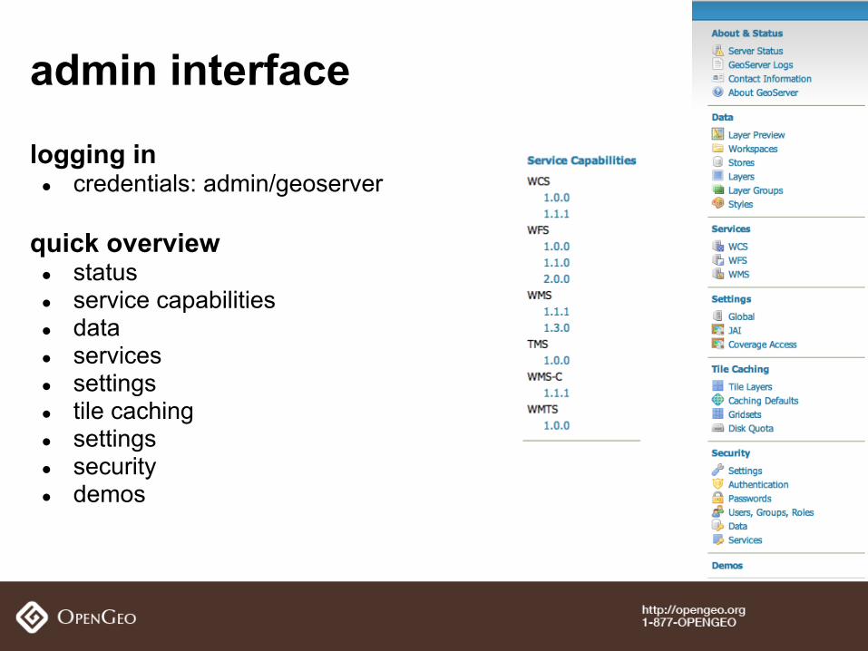
admin interface
logging in● credentials: admin/geoserver
quick overview● status● service capabilities● data● services● settings● tile caching● settings● security● demos
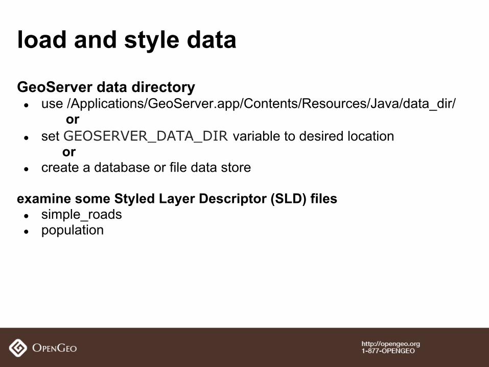
GeoServer data directory● use /Applications/GeoServer.app/Contents/Resources/Java/data_dir/
or ● set GEOSERVER_DATA_DIR variable to desired location
or ● create a database or file data store
examine some Styled Layer Descriptor (SLD) files● simple_roads● population
load and style data
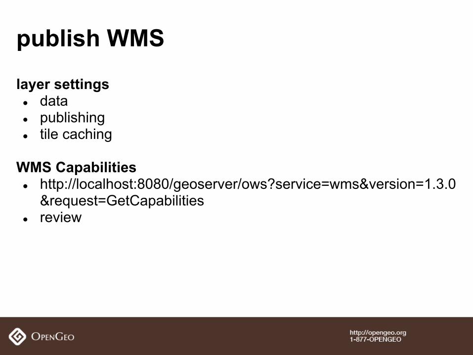
layer settings● data● publishing● tile caching
WMS Capabilities● http://localhost:8080/geoserver/ows?service=wms&version=1.3.0
&request=GetCapabilities● review
publish WMS
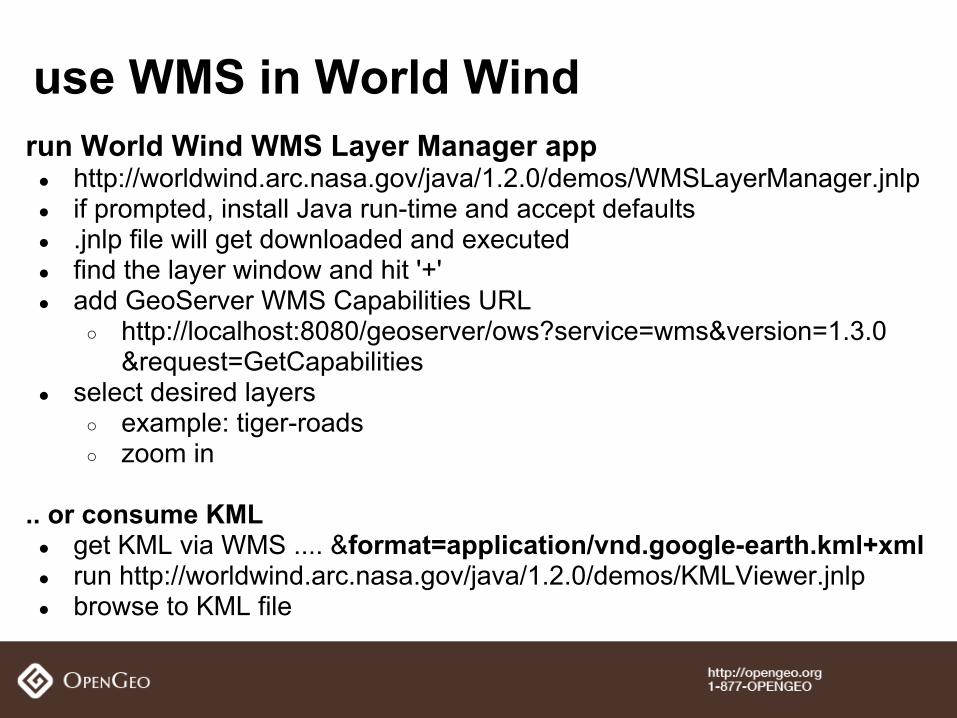
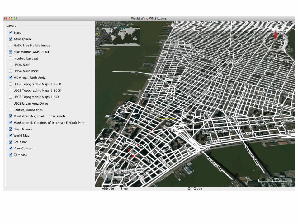
run World Wind WMS Layer Manager app● http://worldwind.arc.nasa.gov/java/1.2.0/demos/WMSLayerManager.jnlp● if prompted, install Java run-time and accept defaults● .jnlp file will get downloaded and executed● find the layer window and hit '+'● add GeoServer WMS Capabilities URL
○ http://localhost:8080/geoserver/ows?service=wms&version=1.3.0&request=GetCapabilities
● select desired layers○ example: tiger-roads○ zoom in
.. or consume KML● get KML via WMS .... &format=application/vnd.google-earth.kml+xml● run http://worldwind.arc.nasa.gov/java/1.2.0/demos/KMLViewer.jnlp● browse to KML file
use WMS in World Wind
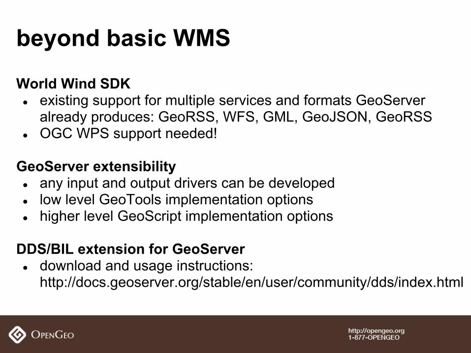
World Wind SDK● existing support for multiple services and formats GeoServer
already produces: GeoRSS, WFS, GML, GeoJSON, GeoRSS● OGC WPS support needed!
GeoServer extensibility● any input and output drivers can be developed● low level GeoTools implementation options● higher level GeoScript implementation options
DDS/BIL extension for GeoServer● download and usage instructions:
http://docs.geoserver.org/stable/en/user/community/dds/index.html
beyond basic WMS

http://opengeo.org
Related Documents


