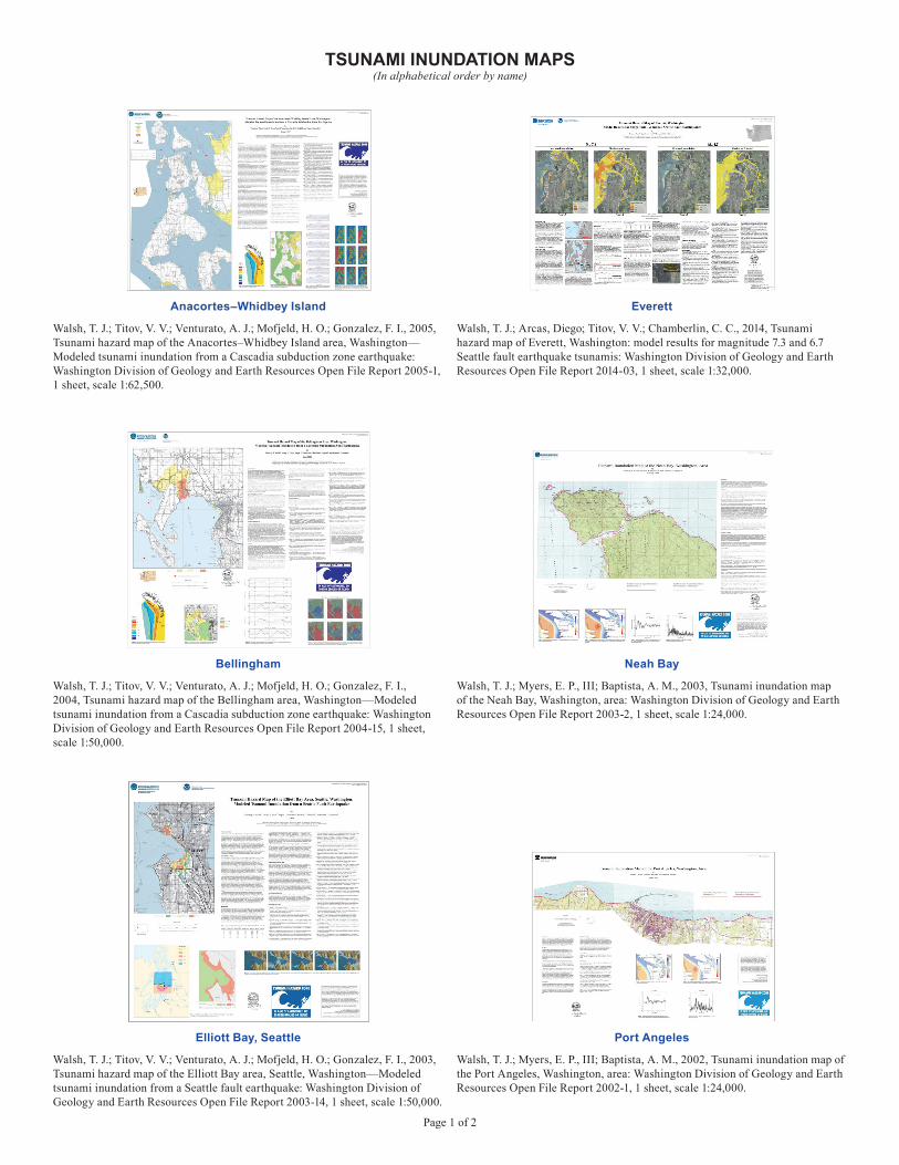
Page 1 of 2 TSUNAMI INUNDATION MAPS (In alphabetical order by name) Walsh, T. J.; Titov, V. V.; Venturato, A. J.; Mofjeld, H. O.; Gonzalez, F. I., 2005, Tsunami hazard map of the Anacortes–Whidbey Island area, Washington— Modeled tsunami inundation from a Cascadia subduction zone earthquake: Washington Division of Geology and Earth Resources Open File Report 2005-1, 1 sheet, scale 1:62,500. Anacortes–Whidbey Island Walsh, T. J.; Titov, V. V.; Venturato, A. J.; Mofjeld, H. O.; Gonzalez, F. I., 2004, Tsunami hazard map of the Bellingham area, Washington—Modeled tsunami inundation from a Cascadia subduction zone earthquake: Washington Division of Geology and Earth Resources Open File Report 2004-15, 1 sheet, scale 1:50,000. Bellingham Walsh, T. J.; Myers, E. P., III; Baptista, A. M., 2003, Tsunami inundation map of the Neah Bay, Washington, area: Washington Division of Geology and Earth Resources Open File Report 2003-2, 1 sheet, scale 1:24,000. Neah Bay Walsh, T. J.; Titov, V. V.; Venturato, A. J.; Mofjeld, H. O.; Gonzalez, F. I., 2003, Tsunami hazard map of the Elliott Bay area, Seattle, Washington—Modeled tsunami inundation from a Seattle fault earthquake: Washington Division of Geology and Earth Resources Open File Report 2003-14, 1 sheet, scale 1:50,000. Elliott Bay, Seattle Walsh, T. J.; Myers, E. P., III; Baptista, A. M., 2002, Tsunami inundation map of the Port Angeles, Washington, area: Washington Division of Geology and Earth Resources Open File Report 2002-1, 1 sheet, scale 1:24,000. Port Angeles Walsh, T. J.; Arcas, Diego; Titov, V. V.; Chamberlin, C. C., 2014, Tsunami hazard map of Everett, Washington: model results for magnitude 7.3 and 6.7 Seattle fault earthquake tsunamis: Washington Division of Geology and Earth Resources Open File Report 2014-03, 1 sheet, scale 1:32,000. Everett

Welcome message from author
This document is posted to help you gain knowledge. Please leave a comment to let me know what you think about it! Share it to your friends and learn new things together.
Transcript
Page 1 of 2
TSUNAMI INUNDATION MAPS(In alphabetical order by name)
Walsh, T. J.; Titov, V. V.; Venturato, A. J.; Mofjeld, H. O.; Gonzalez, F. I., 2005, Tsunami hazard map of the Anacortes–Whidbey Island area, Washington—Modeled tsunami inundation from a Cascadia subduction zone earthquake: Washington Division of Geology and Earth Resources Open File Report 2005-1, 1 sheet, scale 1:62,500.
Anacortes–Whidbey Island
Walsh, T. J.; Titov, V. V.; Venturato, A. J.; Mofjeld, H. O.; Gonzalez, F. I., 2004, Tsunami hazard map of the Bellingham area, Washington—Modeled tsunami inundation from a Cascadia subduction zone earthquake: Washington Division of Geology and Earth Resources Open File Report 2004-15, 1 sheet, scale 1:50,000.
Bellingham
Walsh, T. J.; Myers, E. P., III; Baptista, A. M., 2003, Tsunami inundation map of the Neah Bay, Washington, area: Washington Division of Geology and Earth Resources Open File Report 2003-2, 1 sheet, scale 1:24,000.
Neah Bay
Walsh, T. J.; Titov, V. V.; Venturato, A. J.; Mofjeld, H. O.; Gonzalez, F. I., 2003, Tsunami hazard map of the Elliott Bay area, Seattle, Washington—Modeled tsunami inundation from a Seattle fault earthquake: Washington Division of Geology and Earth Resources Open File Report 2003-14, 1 sheet, scale 1:50,000.
Elliott Bay, Seattle
Walsh, T. J.; Myers, E. P., III; Baptista, A. M., 2002, Tsunami inundation map of the Port Angeles, Washington, area: Washington Division of Geology and Earth Resources Open File Report 2002-1, 1 sheet, scale 1:24,000.
Port Angeles
Walsh, T. J.; Arcas, Diego; Titov, V. V.; Chamberlin, C. C., 2014, Tsunami hazard map of Everett, Washington: model results for magnitude 7.3 and 6.7 Seattle fault earthquake tsunamis: Washington Division of Geology and Earth Resources Open File Report 2014-03, 1 sheet, scale 1:32,000.
Everett

Page 2 of 2
Walsh, T. J.; Myers, E. P., III; Baptista, A. M., 2002, Tsunami inundation map of the Port Townsend, Washington, area: Washington Division of Geology and Earth Resources Open File Report 2002-2, 1 sheet, scale 1:24,000.
Port Townsend
Walsh, T. J.; Caruthers, C. G.; Heinitz, A. C.; Myers, E. P., III; Baptista, A. M.; Erdakos, G. B.; Kamphaus, R. A., 2000, Tsunami hazard map of the southern Washington coast—Modeled tsunami inundation from a Cascadia subduction zone earthquake: Washington Division of Geology and Earth Resources Geologic Map GM-49, 1 sheet, scale 1:100,000, with 12 p. text.
Southern Washington Coast
Walsh, T. J.; Myers, E. P., III; Baptista, A. M., 2003, Tsunami inundation map of the Quileute, Washington, area: Washington Division of Geology and Earth Resources Open File Report 2003-1, 1 sheet, scale 1:24,000.
Quileute
Walsh, T. J.; Arcas, Diego; Venturato, A. J.; Titov, V. V.; Mofjeld, H. O.; Chamberlin, C. C.; Gonzalez, F. I., 2009, Tsunami hazard map of Tacoma, Washington—Model results for Seattle fault and Tacoma fault earthquake tsunamis: Washington Division of Geology and Earth Resources Open File Report 2009-9, 1 sheet, scale 1:24,000.
Tacoma
Related Documents