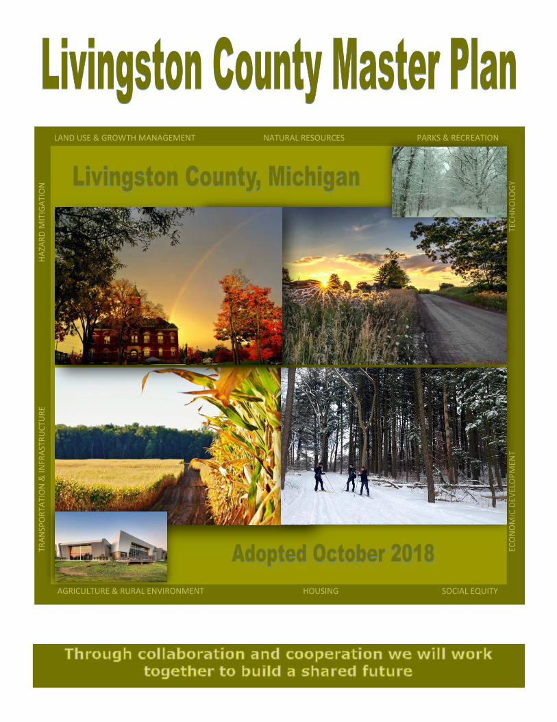
LAND USE & GROWTH MANAGEMENT NATURAL RESOURCES PARKS & RECREATION AGRICULTURE & RURAL ENVIRONMENT HOUSING SOCIAL EQUITY TRANSPORTATION & INFRASTRUCTURE HAZARD MITIGATION ECONOMIC DEVELOPMENT TECHNOLOGY

Welcome message from author
This document is posted to help you gain knowledge. Please leave a comment to let me know what you think about it! Share it to your friends and learn new things together.
Transcript
LAND USE & GROWTH MANAGEMENT NATURAL RESOURCES PARKS & RECREATION
AGRICULTURE & RURAL ENVIRONMENT HOUSING SOCIAL EQUITY
T
RA
NSP
OR
TATI
ON
& IN
FRA
STR
UC
TUR
E
HA
ZAR
D M
ITIG
ATI
ON
E
CO
NO
MIC
DEV
ELO
PM
ENT
T
ECH
NO
LOG
Y
Livingston County Master Plan 69
Issue Identification:
Parks comprise a large portion of the green infrastructure in Southeast Michigan. Livingston
County contains an estimated 29,500 acres of parks area according to the Southeast Michigan
Council of Governments (SEMCOG) Green Infrastructure Vision for Southeast Michigan. Of this
total parks acreage, 16,477 acres is noted as being greater than 200 acres in size. The Green
Infrastructure Vision estimates that park acres per 1,000 residents in Livingston County is 163
acres; greater than any of the other six counties in the SEMCOG region.
The majority of large-scale parks in Livingston County are located in the southern tier of
Townships in Unadilla, Putnam, Hamburg and Green Oak. County-wide, the three State
Recreation Areas, four State Game & Wildlife Areas, one State Trail, two regional Metroparks,
2 County parks and multitude of City, Village, Township and private parks, are very important
contributors to the quality of life in Livingston County (see County Park and Recreational Areas
in the Map Appendix). The presence of abundant parks and recreational resources is a source
of pride and County identity to residents; this asset is one of the primary economic drivers of
the County, drawing many new residents and businesses to our locale.
Through various forms of Livingston County Master Plan public participation, the following
Parks & Recreation needs and desires arose: 1.) Additional parks and recreation resources are
needed on the west side of the County 2.) Walking/Biking/Hiking trails are the most desired
green infrastructure element 3.) Additional and improved connections to parks and amenities
are needed 4.) A Regional Trail Plan is needed at the County level 5.) Livingston County’s
future should include the expansion and improvement of parks and recreation opportunities
such as pathways that connect municipalities and a strong non-motorized transportation plan.
We ENVISION our COMMUNITY as one which strives to be excellent stewards of our existing
park and recreation resources, while improving, expanding and linking these resources and
creating new park and recreation opportunities - Livingston County Vision Statement
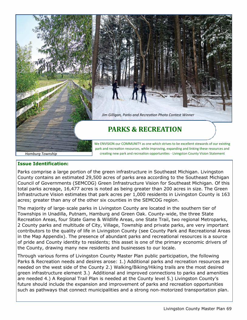
PARKS & RECREATION
Hamburg Township
Jim Gilligan, Parks and Recreation Photo Contest Winner
Livingston County Master Plan 70
GOAL #1
Map and promote Livingston
County Parks & Recreation Assets.
STRATEGIES:
Collaborate with the twenty
(20) local units of government
and SEMCOG to enhance the
digital County Public
Recreation Areas map to make
it comprehensive and
complete.
Work with county
informational entities
(Chambers, libraries, etc.) to
promote this map through
their websites.
GOAL #2
Map planned and proposed
linkages between public and
private Livingston County Parks &
Recreation resources.
STRATEGIES:
Facilitate the creation of a
new digital Livingston County
Greenways/Blueways map.
GOALS &
STRATEGIES
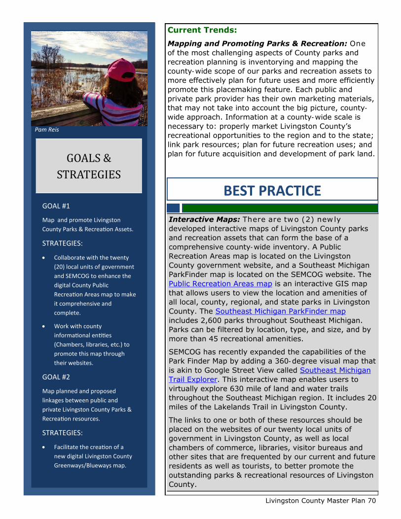
Pam Reis
Current Trends:
Mapping and Promoting Parks & Recreation: One
of the most challenging aspects of County parks and
recreation planning is inventorying and mapping the
county-wide scope of our parks and recreation assets to
more effectively plan for future uses and more efficiently
promote this placemaking feature. Each public and
private park provider has their own marketing materials,
that may not take into account the big picture, county-
wide approach. Information at a county-wide scale is
necessary to: properly market Livingston County’s
recreational opportunities to the region and to the state;
link park resources; plan for future recreation uses; and
plan for future acquisition and development of park land.
BEST PRACTICE
Interactive Maps: There are two (2) new ly
developed interactive maps of Livingston County parks
and recreation assets that can form the base of a
comprehensive county-wide inventory. A Public
Recreation Areas map is located on the Livingston
County government website, and a Southeast Michigan
ParkFinder map is located on the SEMCOG website. The
Public Recreation Areas map is an interactive GIS map
that allows users to view the location and amenities of
all local, county, regional, and state parks in Livingston
County. The Southeast Michigan ParkFinder map
includes 2,600 parks throughout Southeast Michigan.
Parks can be filtered by location, type, and size, and by
more than 45 recreational amenities.
SEMCOG has recently expanded the capabilities of the
Park Finder Map by adding a 360-degree visual map that
is akin to Google Street View called Southeast Michigan
Trail Explorer. This interactive map enables users to
virtually explore 630 mile of land and water trails
throughout the Southeast Michigan region. It includes 20
miles of the Lakelands Trail in Livingston County.
The links to one or both of these resources should be
placed on the websites of our twenty local units of
government in Livingston County, as well as local
chambers of commerce, libraries, visitor bureaus and
other sites that are frequented by our current and future
residents as well as tourists, to better promote the
outstanding parks & recreational resources of Livingston
County.
Livingston County Master Plan 71
Current Trends:
Linking Parks & Recreation: Linking Parks &
Recreation resources is vitally important to creating a
larger network of open space for the preservation of
natural features and wildlife habitat, and for providing
non-motorized opportunities for travel between parks.
This can be accomplished in many ways through
linkages provided by sidewalks, pathways, utility
corridors, greenways and blueways (riparian corridors).
The Lakelands Trail State Park is Livingston County’s
best example of a linear park. Are we aware of what this
trail connects within Livingston County other than the
Village of Pinckney, Hamburg, Putnam, and Unadilla
Townships? We make the best use of this resource if we
link local downtowns, parks and other trails to this
recreational spine and identify connections with
wayfinding signage.
Linkages to the Lakelands Trail will soon connect
Livingston County to regional and state-wide resources
because the trail is a part of Route 1 of The Great Lake-
to-Lake Trails. The Great Lake-to-Lake Trails project
began in 2009, and it consists of five (5) state routes.
Route 1 is comprised of fifteen (15) existing trails
including the Lakelands Trail. Together these trails
connect Lake Huron at Port Huron to Lake Michigan at
South Haven.
Route one currently contains some gaps including a 7.5
mile gap from Hamburg Road to the Livingston County
line at Dixboro Road where the Huron Valley Trail in
Oakland County is the adjacent, existing segment of
Route one. The former Airline Rail Right-of-Way (ROW)
offers the opportunity for an off-road route to fill the
gap; however, many private properties now occupying
the ROW would need to be acquired.
The Great Lake-to-Lake Trails project is part of the Iron
Belle Trail Network which is a priority state trail project
in Michigan that will stretch from Belle Isle Park in the
Lower Peninsula to Ironwood in the Upper Peninsula of
Michigan.
The Iron Belle will consist of a 774 mile hiking trail and a
1,259 mile biking trail to become the longest state
designated trail in the nation. Approximately 60% of
each trail has been completed thus far. The hiking trail
traverses from Belle Isle Park westward to the Battle
Creek area the where it then travels northward. In the
near future the Lakelands Trail will connect to the Iron
Belle in Stockbridge.
GOAL #3
Facilitate conservation/park/trail
coordination between area nature
conservancies, camp organizations,
and local/regional/state public
park providers.
STRATEGIES:
Create a mapping layer of non
-public park lands to overlay
on the digital Public Rec Areas
Map (Goal #1)
Organize and facilitate a
conservation/park/trail
collaborative with other public
park entities to accomplish
coordinated county projects.
GOAL #4
Encourage local communities to
include Complete Streets language
in their master plans and
recreation plans
STRATEGIES:
Include Complete Streets
language in the 2018 update
of the County recreation plan,
that can be replicated by local
communities.
GOALS &
STRATEGIES
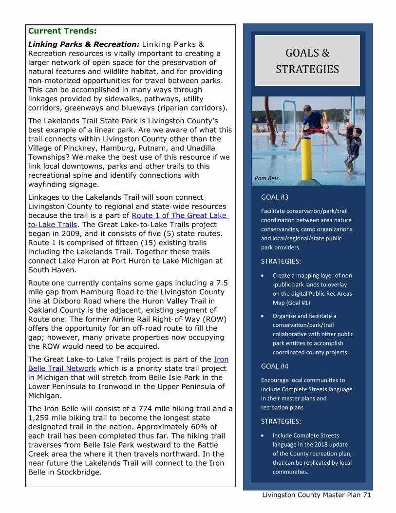
Pam Reis

Livingston County Master Plan 72
Current Trends:
Pathways Plans: Several Livingston County communities have developed
comprehensive pathway plans in conjunction with updates to their master plan document.
These plans identify a number of main corridors throughout the community that should be
developed with public nonmotorized pathways. The plans are implemented through pathway or
sidewalk requirements of the Zoning Ordinance.
Greenways: The Greenways Collaborative, Inc. provides the best practice of a
greenway inventory map and a vision map that link park and recreational resources in
Livingston County. These maps were created in 2000 through a public input process. A more
detailed Southeast Livingston Greenways map was created through a demonstration project
for the five communities in Southeast Livingston County.
Blueways: The 104 mile Huron River Water Trail has been designated the 18th trail
of the National Water Trail System. The Huron River Watershed Council (HRWC) provides the
best practice of ‘blueways’ water trail planning in Livingston County. The organizations website
provides a wealth of information about river access and trips on the water. They have also
developed a 2018 third edition of The Huron River Water Trail Paddler’s Companion which can
be ordered from their website. This flipbook of waterproof maps depicts sections of the Huron
River with information such as launch sites, trip duration between points, and things to see.
The Michigan Water Trails website is also a great reference for water trail information. The
website addresses water trails by region and the Southeast Michigan Water Trails page maps
and explains the experience that each water trail in our region provides.
BEST PRACTICE
BEST PRACTICE
Bikepaths & Greenways Plan: For a best practice of a pathway plan, we need look no
farther than Genoa Charter Township. The 2013 Township Master Plan has a Chapter VII.
Bikepaths & Greenways, which addresses the multimodal, nonmotorized linkages provided by
greenways and pathways. The Greenways section does a wonderful job of referencing and
incorporating information from the Southeast Livingston Greenways Plan mentioned above.
Chapter VII explains the various cultural and natural resources that one can view and access
along Township greenways and pathways, as well as the environmental, recreational and
conservation benefits of non-motorized systems. Shared use pathways are proposed along
eight (8) road corridors. The location and length of each of these pathways is described, as
well as how the pathway will connect to adjacent communities. A Map 14 Pathway Plan,
depicts each of the ’programmed’ or ’planned’ pathways. Although this master plan chapter
discusses some design standards, most of the construction and design standards for pathways
are furthered through the zoning ordinance regulations in Section 12.05 Nonmotorized
Pathways and Sidewalks.

Livingston County Master Plan 73
Current Trends:
Green Infrastructure: Green Infrastructure can be defined in two broad categories: 1.
Ecosystems that are present in the natural, undisturbed environment such as wetlands,
woodlands and parks, and 2. Constructed or built Green Infrastructure such as rain gardens,
and bioswales (also know as LID - Low Impact Development). Parks are Green Infrastructure
that help to preserve our natural environment by keeping ecosystems intact and buffering
them from the built environment, while providing recreational opportunities that interact with
nature. Using land cover information from 2010 aerial imagery, SEMCOG quantified the
amount of natural (not built) Green Infrastructure in Livingston County as 61% of our total
land cover area (for in-depth information on this trend see Natural Resources chapter).
Current Trends:
Complete Streets Plans: The aim of Complete Streets is to plan for multimodal
transportation options; options such as walking, biking, driving and taking public transportation
such as buses and trains. Although Complete Streets Plans will be addressed more extensively
in the transportation chapter of this plan, Complete Streets planning and parks and recreation
planning are intrinsically linked because both focus on the importance of connectivity (having a
system without gaps) and the linking of resources such as connecting state parks to regional
parks to local parks to downtowns. Walking and biking are important to both disciplines;
therefore, better land use planning for walking and biking activities meets multiple outcomes.
BEST PRACTICE
Land Conservancies: One of the greatest opportunities we have for increasing green
infrastructure associated with parks is to create ways to link parks to one another or link parks
to adjacent vacant/preserved land to grow the size of Livingston County’s green infrastructure
network. Southeast Michigan is home to nine (9) land conservations and we are fortunate to
have one of these conservations dedicated solely to Livingston County. The Livingston Land
Conservancy seeks to protect unique natural areas and productive farmlands. Over 600 acres
are currently being protected throughout the County. The service area of the Southeast
Michigan Land Conversancy also includes Livingston County and they have four (4) nature
preserves in the Livingston County communities of Unadilla, Marion, Hamburg and Green Oak
Townships.
These are two of the non-profit organizations that can provide the technical expertise to apply
best practices such as conservation easements and other legal conveyances of land that can
link our existing green infrastructure. An additional green infrastructure tool is the Livingston
County Planning publication, Livingston County’s High-Quality Natural Areas. This publication
identifies, prioritizes and maps the highest quality natural areas in the County The information
contained within this document can facilitate the identification of green infrastructure in the
County that should be preserved. See map in the previous Natural Resources chapter of this
plan.
Livingston County Master Plan 74
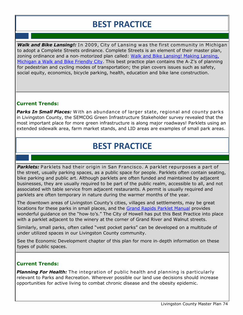
Current Trends:
Parks In Small Places: With an abundance of larger state, regional and county parks
in Livingston County, the SEMCOG Green Infrastructure Stakeholder survey revealed that the
most important place for more green infrastructure is along major roadways! Parklets using an
extended sidewalk area, farm market stands, and LID areas are examples of small park areas.
Current Trends:
Planning For Health: The integration of public health and planning is particularly
relevant to Parks and Recreation. Wherever possible our land use decisions should increase
opportunities for active living to combat chronic disease and the obesity epidemic.
BEST PRACTICE
Walk and Bike Lansing!: In 2009, City of Lansing was the first community in Michigan
to adopt a Complete Streets ordinance. Complete Streets is an element of their master plan,
zoning ordinance and a non-motorized plan called: Walk and Bike Lansing! Making Lansing,
Michigan a Walk and Bike Friendly City. This best practice plan contains the A-Z’s of planning
for pedestrian and cycling modes of transportation; the plan covers issues such as safety,
social equity, economics, bicycle parking, health, education and bike lane construction.
BEST PRACTICE
Parklets: Parklets had their origin in San Francisco. A parklet repurposes a part of
the street, usually parking spaces, as a public space for people. Parklets often contain seating,
bike parking and public art. Although parklets are often funded and maintained by adjacent
businesses, they are usually required to be part of the public realm, accessible to all, and not
associated with table service from adjacent restaurants. A permit is usually required and
parklets are often temporary in nature during the warmer months of the year.
The downtown areas of Livingston County’s cities, villages and settlements, may be great
locations for these parks in small places, and the Grand Rapids Parklet Manual provides
wonderful guidance on the “how-to’s.” The City of Howell has put this Best Practice into place
with a parklet adjacent to the winery at the corner of Grand River and Walnut streets.
Similarly, small parks, often called “vest pocket parks” can be developed on a multitude of
under utilized spaces in our Livingston County community.
See the Economic Development chapter of this plan for more in-depth information on these
types of public spaces.
Livingston County Master Plan 75
BEST PRACTICE
Planning4Health: Plan4Health is a three (3) year initiative of the American P lanning
Association (APA) and the American Public Health Association (APHA). Plan4Health supports
creative partnerships to build sustainable, cross-sector coalitions. The coalitions that been
formed across the country are working on two focus areas: nutrition and physical activity.
There are a number of resources on the Plan4Health website, including an Active Living
Toolkit. The toolkit offers a snapshot of reports, webinars, community examples, videos,
podcasts, and more about active living. Some of the strategies discussed include: promoting
active commuting by creating a bike-friendly business program; promoting safe walking
environments by redesigning intersections, measuring stressful or broken biking and walking
connections and increasing the number of schools involved in the Safe Routes to School
national program.
RESOURCES
SEMCOG Resources Livingston County Resources
Bicycle and Pedestrian Plan for Southeast Michigan Livingston County Parks & Open Space Plan 2012-2017
Green Infrastructure Vision for Southeast Michigan Livingston County’s High-Quality Natural Areas
Low Impact Development Manual for Michigan Livingston County Greenways Initiative
Great Lakes Green Streets Guidebook Livingston County Public Recreation Map
Southeast Michigan Park Finder
Southeast Michigan Trail Explorer
Livingston County Master Plan 76
RESOURCES
Michigan Department of Resources Other Resources
Route 1 of Great Lake-to-Lake Trail Brochure
Huron River Watershed Council, and Huron River Water
Trail
Iron Belle Trail Network, Interactive Map Michigan Safe Routes To School
Other Resources National Recreation and Park Association
The Greenway Collaborative, Southeast Livingston
Greenways map
Michigan Recreation and Park Association
Michigan Water Trails, Southeast Michigan Water Trails
Guidelines for the development of Community Park,
Recreation, Open Space and Greenways, Grants
Management, Michigan Department of Natural
Resources
Genoa Township website , Chapter VII. Bikepaths &
Greenways
Southeast Michigan Land Conservancy
City of Lansing, Walk and Bike Lansing! Making Lansing,
Michigan a Walk and Bike Friendly City
Livingston Land Conservancy
American Planning Association and American Public
Health Association, Plan4Health, and Active Living
Toolkit
Grand Rapids Parklet Manual , City of Grand Rapids,
Michigan
Related Documents