The Key • Remember, that the symbols are relevant only to the map you are using! • Symbols change across different manufacturers maps, and may even change across different versions! • If in doubt about a symbol, check the key!

The Key Remember, that the symbols are relevant only to the map you are using! Symbols change across different manufacturers maps, and may even change.
Dec 26, 2015
Welcome message from author
This document is posted to help you gain knowledge. Please leave a comment to let me know what you think about it! Share it to your friends and learn new things together.
Transcript

The Key
• Remember, that the symbols are relevant only to the map you are using!
• Symbols change across different manufacturers maps, and may even change across different versions!
• If in doubt about a symbol, check the key!

Symbols
Ordnance Survey interpret both man made and natural features on the map, through a system of
symbols.
Every Ordnance Survey map has a key showing the definition of each symbol to help you. We will look at
a few of the more common symbols.


Map Symbols - Roads

Map Symbols - Railways

Map Symbols - Hills

Map Symbols - Water

Map Symbols - General

Tourist Information

Map Symbols - Misc
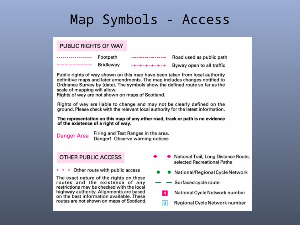
Map Symbols - Access

Hills
• Hills are shown using contour lines
• Contour lines join areas of equal height • Marked at every 10m of height change• Rise and fall called “Vertical Interval” (VI)• Contour lines seem to disappear at cliffs

Symbol examples
Related Documents


