Welcome message from author
This document is posted to help you gain knowledge. Please leave a comment to let me know what you think about it! Share it to your friends and learn new things together.
Transcript

Locating Technology
Technology Will Change the Nature of Utility Locating as We Know It
C - 36%
M - 29%
Y - 98%
K - 3%
Hex #2c5c64
C - 84%
M - 51%
Y - 50%
K - 25%
22
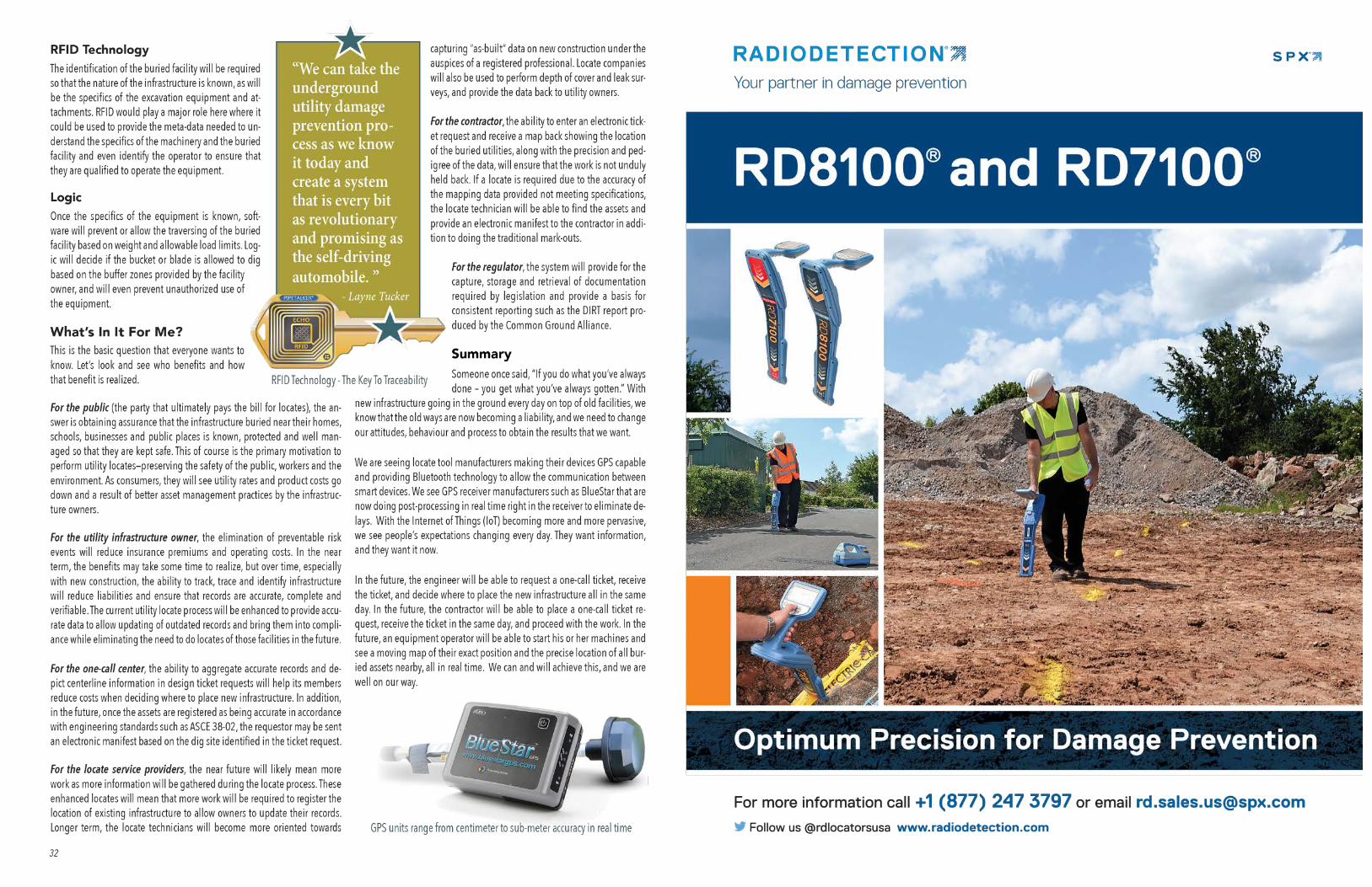
With new infrastructure going in the ground every day on top of old facilities, we know that the old ways are now becoming a liability, and we need to change our attitudes, behavior and processes to obtain the results that we want. by Steve Slusarenko, CSO - ProStar Geocorp and Layne Tucker, Founder of EchoRFID, Co-Founder of ProStar Geocorp
ayne Tucker had a vision for the standardization of material tracking, traceability and verification for oil, gas and other utility assets on a global level. He spent a decade assembling industry veterans and technology
experts to develop a global system for a full life cycle cradle to the grave pro-cess for material and construction task management to include integrity data retention in real time georeferenced. In this data chain of custody of “What, Who, When, and Where,” all components throughout the system can be traced above or below ground. It all must begin with electronic management of mate-rial manufacturing information conjoined with construction, RFID tag and task qualification in real-time with built-in business rules.
The preferred industry standard would be to RFID tag the components at the point of origin. Until that happens, we can still do the process at the laydown yards and point of delivery onsite. Huge material management savings will be realized, and industry experts feel it would bring ten to fifteen percent more value to the asset. This process would automate compliance in real-time for proj-ect managers and greatly enhance integrity management and public safety.
In the last two issues of American Locator, we relayed a bit of history on how technology that was originally developed for other purposes was recognized as providing potential for elevating damage prevention as a discipline, and how this technology is being applied today to enhance locates and bring significant value to the infrastructure owner. In this article, we will provide an understand-ing of how it is inevitable that RFID technology, in concert with precision GPS receivers, the cloud and mobile devices will eliminate line strikes by excavation equipment and boring/tunnelling machines.
A Decade of Dedication, Realizing a Vision
L
Where are We Now? The locate technology and locate process has not really changed in the last 20 years. The devices are improved, the technicians are better trained, but “putting paint on the ground” to identify the location of buried utili-ties is still the basic idea. The current process still involves a lot of manual steps and coordination of work, and usually involves complex workflows to request and create tickets, identify and notify affected utilities, review the ticket notifications, and clear them or assign them to a technician who is then dispatched to the excavation site. Once at the site, the locate technician meets the excavator, performs the locate and provides a positive response back to the one-call center. Discrepancies that are found in the field often go unreported due to the extensive manual effort needed to identify, measure, sketch and submit the paperwork into the office to be forwarded to the utility owner.
ProStar’s Transparent Earth software that is offered on the cloud, certainly provides major improvements to the current process and adds value by providing robust data capture and mapping capability that removes any impediments to getting all of the data captured during the locate back to the utility owner. Of interest is not only the reduction in time to capture, document, and sub-mit the data, but also a major reduction in the ef-fort to review the submission, quality assure the data, and upload the new data into the database to correct (or confirm) asset location information in the system of record.
Where are We Going?We are at the point now where we have self-driving vehicles on our roads, self-driving trains and elevated transit systems, and we are okay with that be-cause we know that at the end of the day, they will save lives and prevent damage. Virtually every major vehicle manufacturer is either building autonomous vehicles or looking at building them. Even the way that most of us use personal vehicles may change, so rather than owning two or three personal vehicles, we will hail one using an app and just pay for the ser-vice. Just like the automotive landscape is changing, the same shift will occur in the way that locates are performed and the way that damage prevention is managed.
The ultimate goal of these changes will be to provide the tools, processes and data needed to ensure that human error is entirely removed from the damage prevention equation. We can take the underground utility damage prevention process as we know it today and create a system that is every
bit as revolutionary and promising as the self-driving automobile. To do this we need to use some of the same technologies and techniques that are used by Honda, Ford, GM, Tesla and others to support the use of autono-mous vehicles.
At the end of the day, we will have developed a system where line strikes by large excavation equipment is virtually impossible. Imagine having a sys-tem that will allow us to drive over a pipeline if the bucket is above grade, but will prevent us from digging within the prescribed buffer zone. In fact, it
will display our current position and orientation relative to the buried and surface facility infrastruc-ture on a map display, issue an alert as we approach the line, and stop
the machine from crossing over the line if we are overweight or attempt-
ing to excavate within the “no dig” zone. The system could record exactly
who was digging, record the exact time and precise location every 15 seconds,
and send that information to the data-base as part of the project records.
How Will We Get There?Location, location, location. The first requirement
will be to know exactly where everything is. Google, Here and others are creating very accurate maps using LiDAR point cloud technology. Vehicle manufacturers
are adding simultaneous localization and mapping (SLAM) into vehicles to provide location specific situational awareness, especially as it relates to pedestrians and moving hazards, and to make up for lack of situational details in maps and sensing tools. For both buried infrastructure and heavy equipment, only the exact location of each is required, however, there may be opportunities for SLAM as it relates to the position of nearby personnel and the speed and direction of the equipment and any attachments:
Mapping In the context of damage prevention, the subsurface infrastructure will need to be accurately mapped and depicted. Excava-tion equipment will need to be accurately located with the additional requirement of knowing the exact 3D location of cutting bits on blades, or teeth on excavator and back-hoe buckets that will present a hazard to the facility infrastructure.
GPS and EGCSTo achieve the needs related above, we will
need a real-time precision GPS unit on the cab, an excavator grade control system to register the location of the blade/bucket/auger/ripper, a display unit in the cab, information on the equipment, and the accurate location and orientation of the facilities.
The EchoRFID ProStar Solution
Lead your team into the future with RFID
30
Background: ProStar’s Transparent Earth Software provides major improvements to the locate process, providing traceability and verification through robust data capture and mapping capability
Related Documents