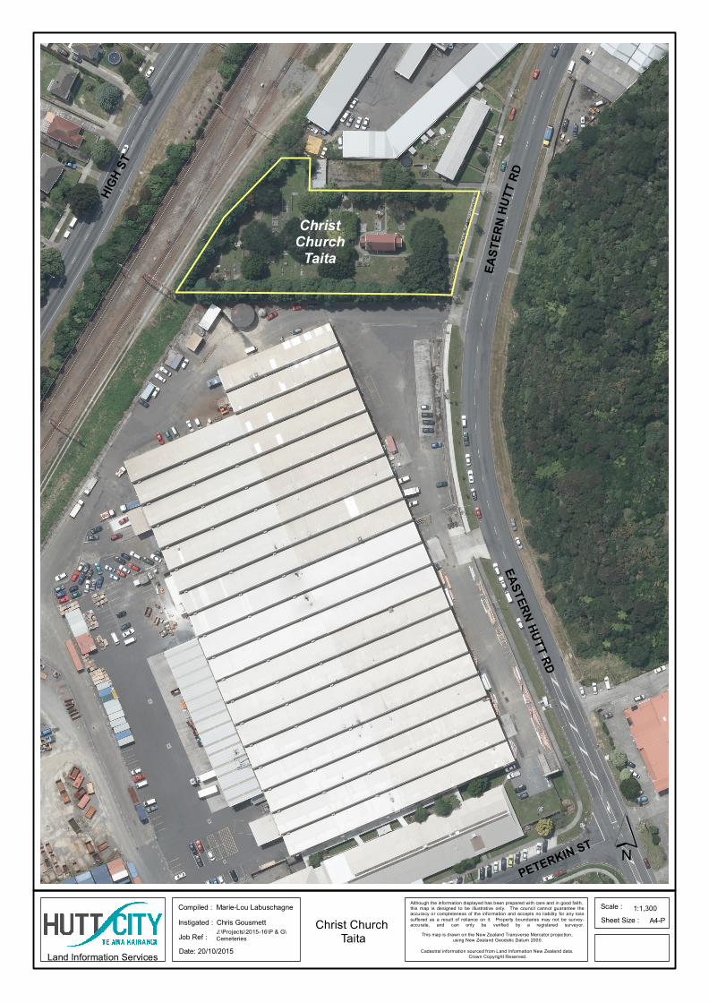
PETERKIN ST H I G HS T EA ST ER NH UT T RD EASTERN HUTT RD Christ Church Taita Compiled : Instigated : Job Ref : Sheet Size : Scale : A4-P Land Information Services 1:1,300 Marie-Lou Labuschagne Chris Gousmett J:\Projects\2015-16\P & G\ Cemeteries Although the information displayed has been prepared with care and in good faith, this map is designed to be illustrative only. The council cannot guarantee the accuracy or completeness of the information and accepts no liability for any loss suffered as a result of reliance on it. Property boundaries may not be survey- accurate, and can only be verified by a registered surveyor. This map is drawn on the New Zealand Transverse Mercator projection, using New Zealand Geodetic Datum 2000. Cadastral information sourced from Land Information New Zealand data. Crown Copyright Reserved. Date: 20/10/2015 ´ Christ Church Taita

Welcome message from author
This document is posted to help you gain knowledge. Please leave a comment to let me know what you think about it! Share it to your friends and learn new things together.
Transcript
PETERKIN ST
HIGH ST
EAST
ERN
HUTT
RD
EASTERN HUTT RD
ChristChurch
Taita
Compiled :Instigated :Job Ref :
Sheet Size :Scale :
A4-P
Land Information Services
1:1,300Marie-Lou LabuschagneChris GousmettJ:\Projects\2015-16\P & G\Cemeteries
Although the information displayed has been prepared with care and in good faith, this map is designed to be illustrative only. The council cannot guarantee theaccuracy or completeness of the information and accepts no liability for any losssuffered as a result of reliance on it. Property boundaries may not be survey-accurate, and can only be verified by a registered surveyor.
This map is drawn on the New Zealand Transverse Mercator projection, using New Zealand Geodetic Datum 2000.
Cadastral information sourced from Land Information New Zealand data. Crown Copyright Reserved.
Date: 20/10/2015
´Christ Church
Taita
Related Documents