SPATIAL ANALYST With support from: NSF DUE-0903270 Prepared by: in partnership with: Jennifer McKee Geospatial Technician Education Through Virginia’s Community Colleges (GTEVCC)

Welcome message from author
This document is posted to help you gain knowledge. Please leave a comment to let me know what you think about it! Share it to your friends and learn new things together.
Transcript
SPATIAL ANALYST
With support from:
NSF DUE-0903270
Prepared by:
in partnership with:
Jennifer McKee
Geospatial Technician Education Through Virginia’s Community Colleges (GTEVCC)
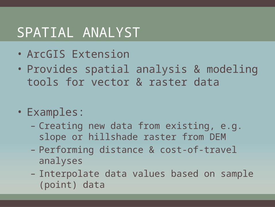
SPATIAL ANALYST
• ArcGIS Extension • Provides spatial analysis & modeling tools for
vector & raster data
• Examples:– Creating new data from existing, e.g. slope or hillshade
raster from DEM– Performing distance & cost-of-travel analyses– Interpolate data values based on sample (point) data

HOW TO ACCESS S.A. TOOLS
• ArcToolbox– Must search for tool if location unknown
• Model Builder– Use tools or scripts in models
• Python– interactive command line or script
• Raster Calculator – for simple map algebra

S.A. TOOLSETS
• Broken down into catergories by ESRIConditionalDensityDistanceExtractionGeneralizationGroundwaterHydrologyInterpolationLocalMap AlgebraMath General
Math BitwiseMath LogicalMath TrigonometricMultivariateNeighborhoodOverlayRaster CreationReclassSolar RadiationSurfaceZonal
For greater details see ArcGIS 10 help or online resource center

ACCESSING S.A. TOOLS

RASTER CALCULATOR
• Simple Math Algebra
• Use interface – correct syntax is required, including spaces

R.C. EXAMPLE
• Want to query DEM to locate all areas with 600 meters or greater elevation
"eggleston" >= 600
• Results in boolean output: 1 = true, 0 = false


R.C. EXAMPLE CONTINUED• Combining multiple boolean outputs to find an area that
meets your criteria• For example: you want to identify areas that have elevation
>= 600 meters & have a slope >= 30%1. "eggleston" >= 6002. "Slope" >= 303. "Above600m" & "slopeabove30“ OR4. ("eggleston" >= 600) & ("Slope" >= 30)
• 2 separate queries for each criteria & then combine boolean outputs
• 1 compound query for both criteria


EXERCISES• Already performed vector based spatial analysis on
Day 2 during Rodney’s Multi-Criteria Evaluation• GIS Tutorial 2 Spatial Analysis
– Tutorial 3-1 pg. 76– Tutorial 3-3 pg. 93– Tutorial 5-1 pg. 124– Tutorial 5-8 pg. 179– Tutorial 5-9 pg. 191
• MCE with Spatial Analyst (Auxiliary Materials notebook, Section 6)
Related Documents