UC 779: Spatial & Attribute Data Improvement using Web Applications Paul Fukuhara, National Geospatial IT Innovation Leader, National Geospatial Center of Excellence, USDA NRCS Ravichandran Kaushika, Sr. GIS App Developer, Vistronix Inc., Client: USDA NRCS

Welcome message from author
This document is posted to help you gain knowledge. Please leave a comment to let me know what you think about it! Share it to your friends and learn new things together.
Transcript

UC 779: Spatial & Attribute Data Improvement using Web Applications
Paul Fukuhara, National Geospatial IT Innovation Leader, National Geospatial Center of Excellence, USDA NRCS
Ravichandran Kaushika, Sr. GIS App Developer, Vistronix Inc., Client: USDA NRCS
For over 80 years, the Natural Resources Conservation Service has been a pioneer in conservation, working with landowners, local and state governments, and other federal agencies to maintain healthy and productive working landscapes.
On April 27, 1935 Congress establish the Soil Conservation Service (SCS) as a permanent agency in the USDA.
In 1994, Congress changed SCS’s name to the Natural Resources Conservation Service (NRCS) to better reflect the broadened scope of the agency’s concerns.
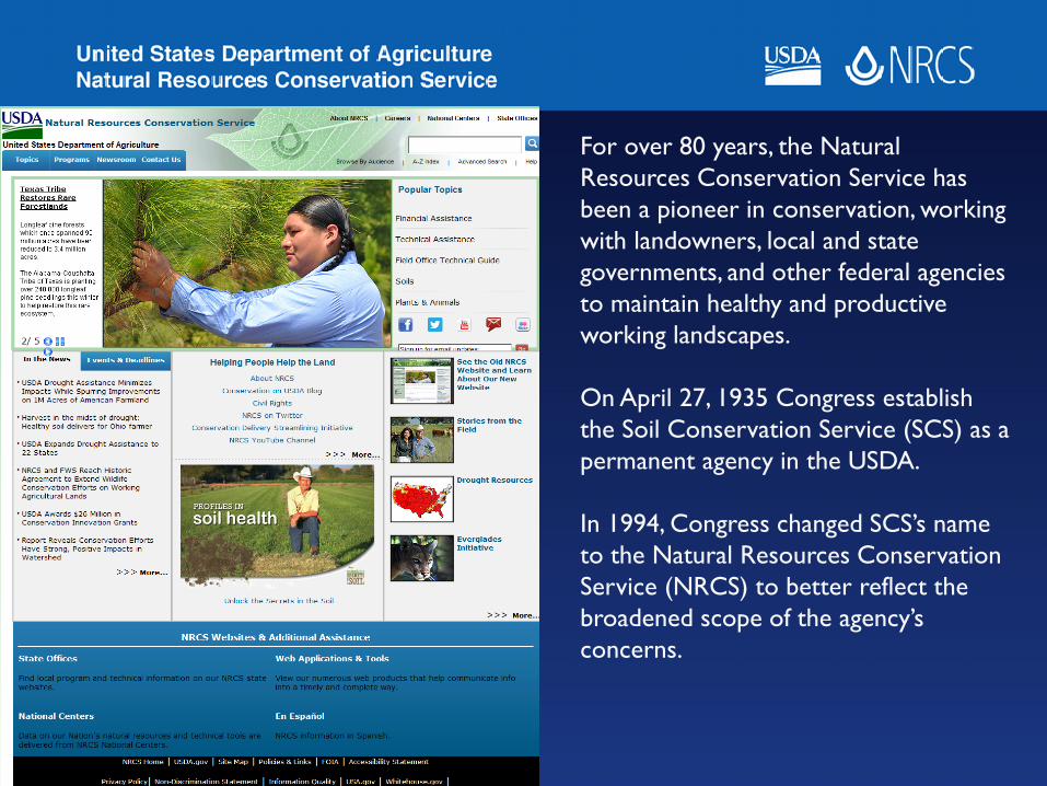
The creation of the Soil Conservation Service represented the culmination of the efforts of Hugh Hammond Bennett, “father of Soil Conservation” and the first Chief of SCS, to awaken public concern for the problem of soil erosion.
“Soil has long been confused with land. It is but one part of land. For conservation purposes, land must be regarded in terms of all its component parts: soil, slope, climate, susceptibility to depreciation by erosion, over-cropping or other processes of deterioration.”
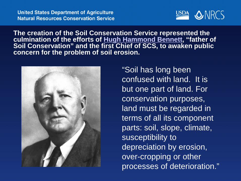
Many Resource Issues
Soil Erosion
Irrigation Water Management
Nutrient Management
Wildlife Habitat
Rangeland Management
Soil Quality Water Quality
Forest Management


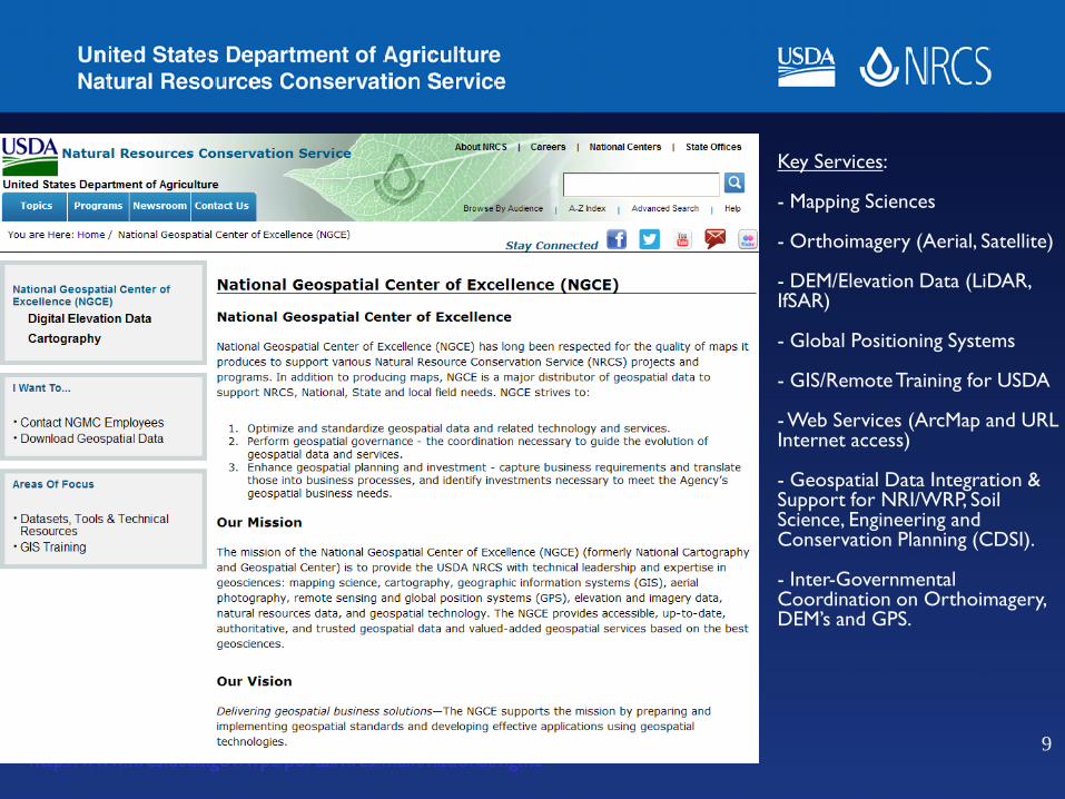
http://www.nrcs.usda.gov/wps/portal/nrcs/main/national/ngmc
Key Services:
- Mapping Sciences
- Orthoimagery (Aerial, Satellite)
- DEM/Elevation Data (LiDAR, IfSAR)
- Global Positioning Systems
- GIS/Remote Training for USDA
- Web Services (ArcMap and URL Internet access)
- Geospatial Data Integration & Support for NRI/WRP, Soil Science, Engineering and Conservation Planning (CDSI).
- Inter-Governmental Coordination on Orthoimagery, DEM’s and GPS.
9
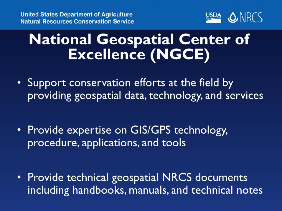
National Geospatial Center of Excellence (NGCE)
• Support conservation efforts at the field by providing geospatial data, technology, and services
• Provide expertise on GIS/GPS technology, procedure, applications, and tools
• Provide technical geospatial NRCS documents including handbooks, manuals, and technical notes

NGCE (contd.)• Collect hi-res imagery, LiDAR, and
hydrology data and share them as web services as needed
• Provide training and technology transfer on geospatial tools and technologies
• Develop applications/prototypes to meet NRCS objectives and maintain data
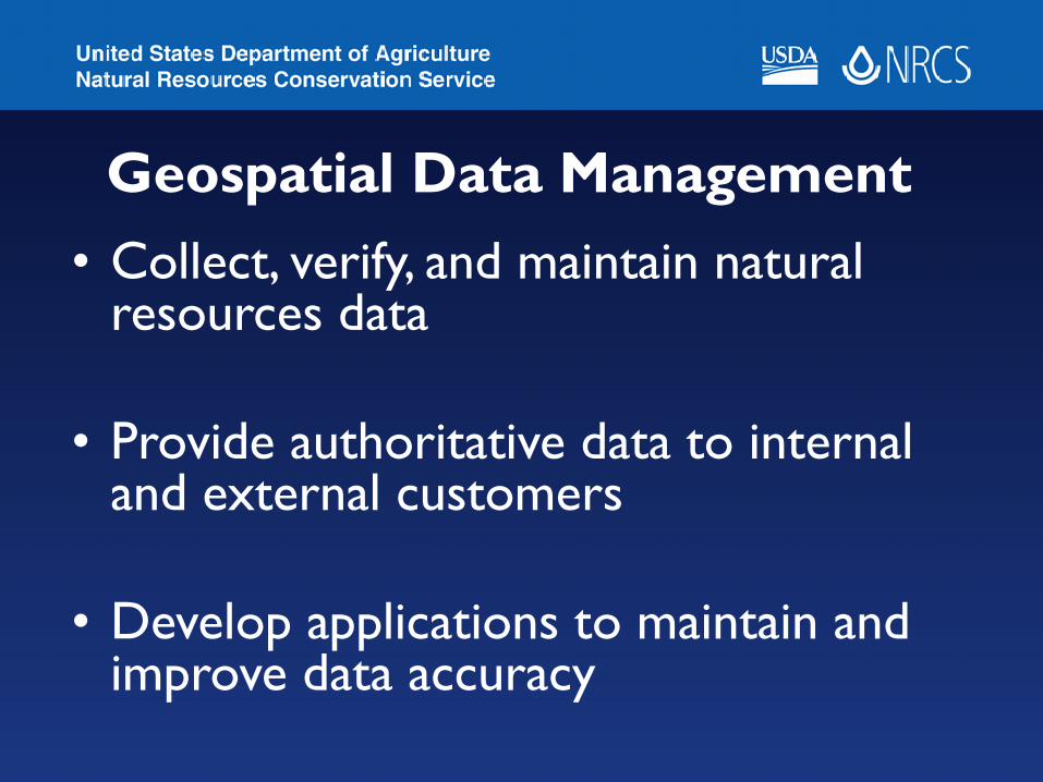
Geospatial Data Management • Collect, verify, and maintain natural
resources data
• Provide authoritative data to internal and external customers
• Develop applications to maintain and improve data accuracy
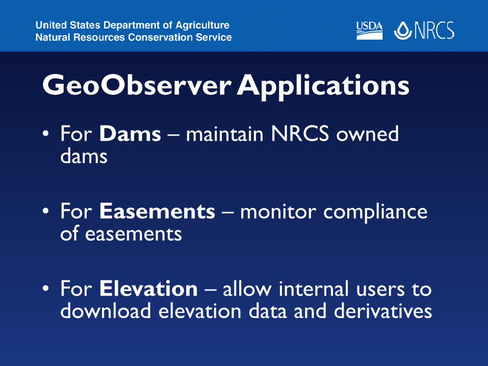
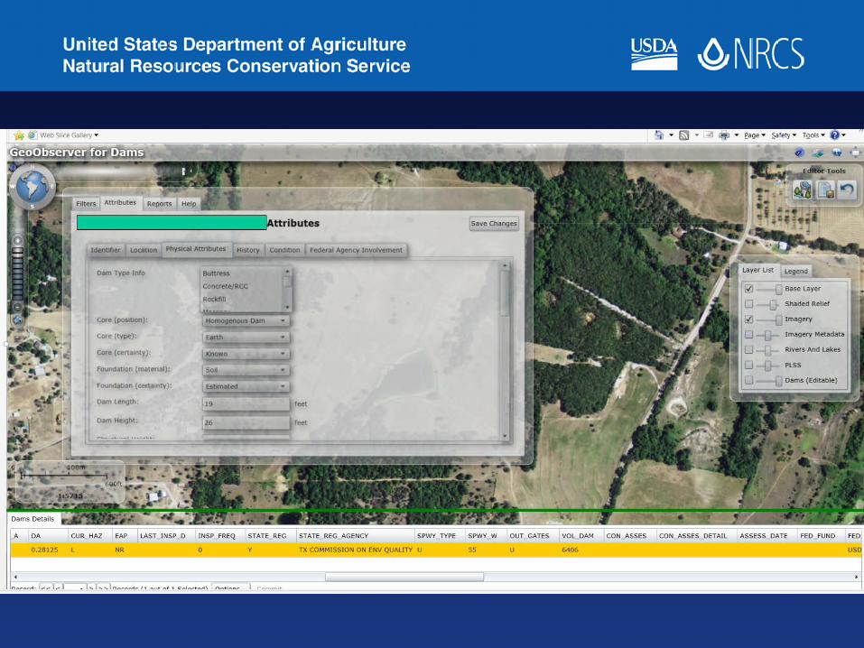
GeoObserver Applications• For Dams – maintain NRCS owned
dams
• For Easements – monitor compliance of easements
• For Elevation – allow internal users to download elevation data and derivatives
14
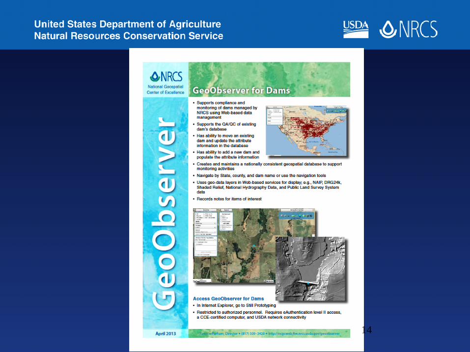
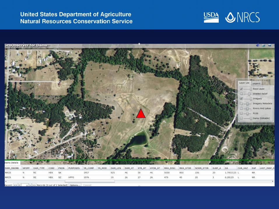
GeoObserver for Dams• Locate NRCS owned dams by state, county,
and national inventory of dams ID (NIDID)
• Create or update dams with spatial and attribute information
• Export corrected information to US Army Corps of Engineers (USACE)


GeoObserver For Easements• Monitor compliance of long-term & permanent
easements using consistent methods
• Observe selected easements using hi-res imagery from multiple annual collections
• Identify potential compliance issues, remedial procedures, and implementation guidelines
• Report findings to National Headquarters and US Congress as needed


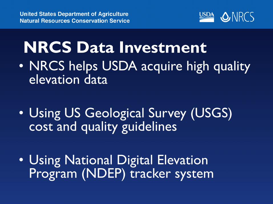
NRCS Data Investment• NRCS helps USDA acquire high quality
elevation data
• Using US Geological Survey (USGS) cost and quality guidelines
• Using National Digital Elevation Program (NDEP) tracker system
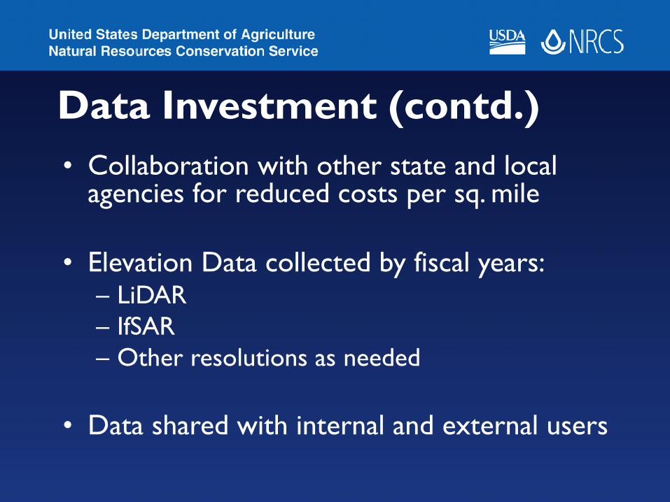
Data Investment (contd.)• Collaboration with other state and local
agencies for reduced costs per sq. mile
• Elevation Data collected by fiscal years:– LiDAR – IfSAR– Other resolutions as needed
• Data shared with internal and external users
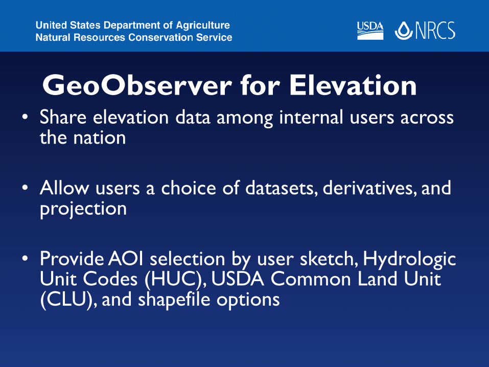
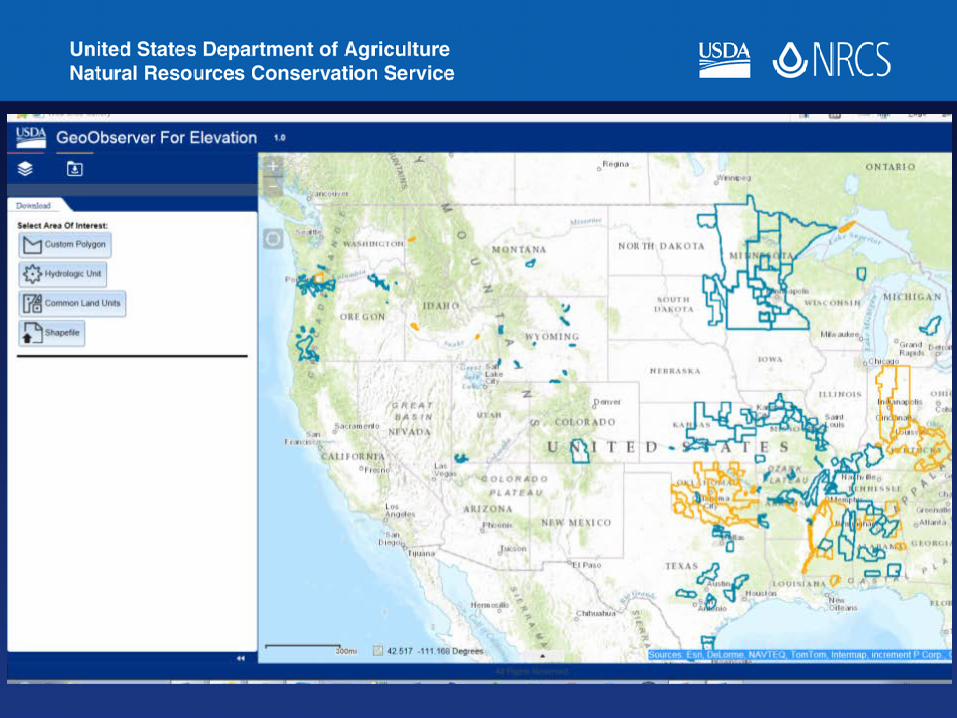
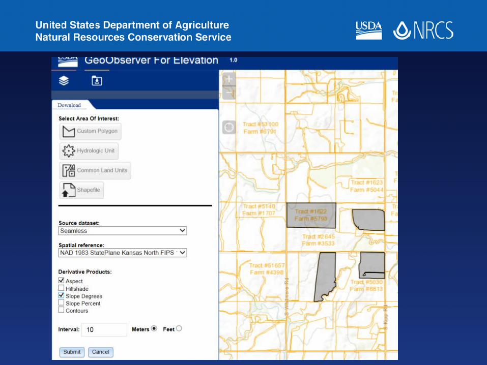
GeoObserver for Elevation• Share elevation data among internal users across
the nation
• Allow users a choice of datasets, derivatives, and projection
• Provide AOI selection by user sketch, Hydrologic Unit Codes (HUC), USDA Common Land Unit (CLU), and shapefile options

Benefits of GeoObserver applications• Uniform data collection and update
procedures
• Instant access to the best available data from a centrally located enterprise storage
• Uniform reporting procedures
Benefits (contd.)
• Travel costs minimized for the agency
• Increased transparency, high visibility, and availability of data
• Time and cost savings for the agency and taxpayers
Benefits (contd.)• Simple data collection and editing easily
accomplished
• Minimum skill and training for non-GIS users
• ArcMap licenses and training not required
• Hi-res imagery and high quality elevation data already in the application

Technologies used:
• ArcGIS server, SQL Server Spatial, and SDE
• ESRI Silverlight API – Easements and Dams
• ESRI JavaScript API – Elevation
• Visual Studio.NET (C#) 2009 – 2013

Future Steps• Implement similar techniques for other
data layers and projections
• Use lessons learned to improve efficiency
• Adopt mobile technologies wherever possible
Questions?
Come by the NRCS Booth F13 @ National Government Area
Related Documents