Richardson/ DIS “Atlases and Gazetteers” Dr. John V. Richardson Jr., Professor “Information Access” UCLA GSE&IS Department of Information Studies

Richardson/ DIS “Atlases and Gazetteers” Dr. John V. Richardson Jr., Professor “Information Access” UCLA GSE&IS Department of Information Studies.
Dec 22, 2015
Welcome message from author
This document is posted to help you gain knowledge. Please leave a comment to let me know what you think about it! Share it to your friends and learn new things together.
Transcript
Richardson/ DIS
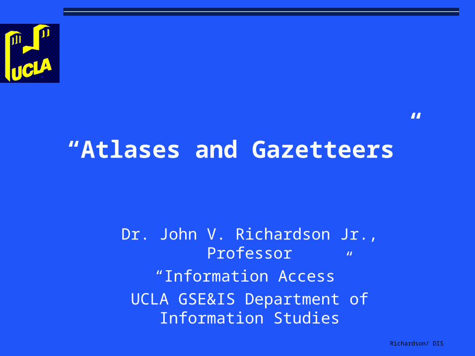
“Atlases and Gazetteers”
Dr. John V. Richardson Jr., Professor
“Information Access”
UCLA GSE&IS Department of Information Studies
Richardson/ DIS
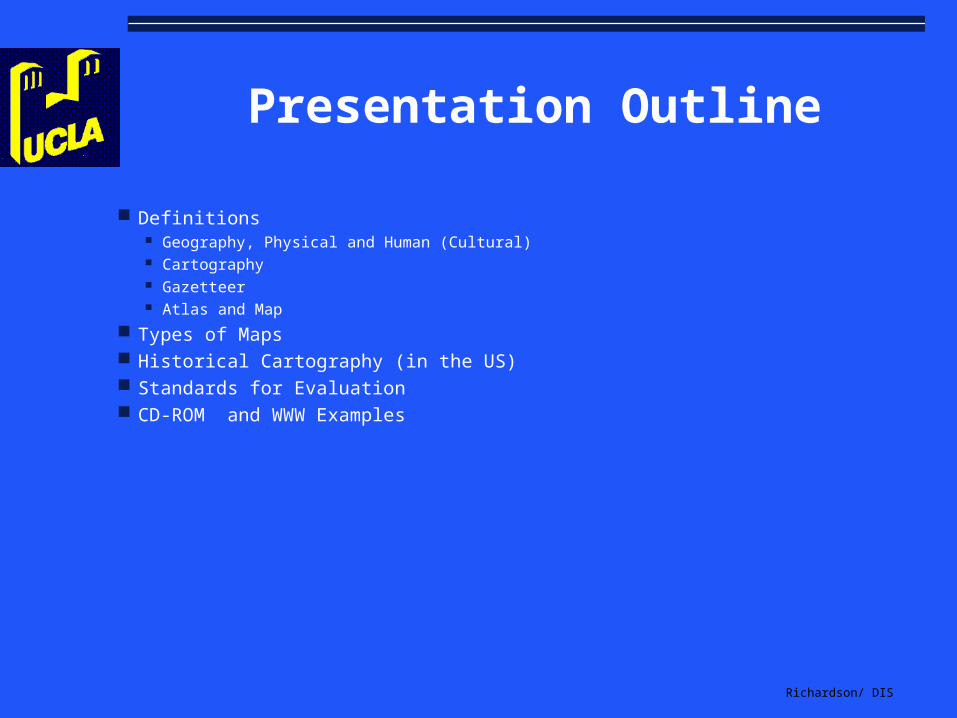
Presentation Outline
Definitions Geography, Physical and Human (Cultural) Cartography Gazetteer Atlas and Map
Types of Maps Historical Cartography (in the US) Standards for Evaluation CD-ROM and WWW Examples
Richardson/ DIS
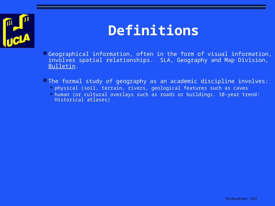
Definitions
Geographical information, often in the form of visual information, involves spatial relationships. SLA, Geography and Map Division, Bulletin.
The formal study of geography as an academic discipline involves: physical (soil, terrain, rivers, geological features such as caves human (or cultural overlays such as roads or buildings. 10-year trend: Historical
atlases)

Richardson/ DIS
More Definitions
Cartography is the study of maps (sometimes guidebooks) involves their creation and access to this information
Gazetteer (alphabetical volume providing place names, description, longitude and latitude). Atlas (collection of maps). Named for Greek mythology (Homer) for the god who warred against Zeus; required to bear heaven on shoulders and hands

Richardson/ DIS
Gazetteers Continued:
Where else would you be able to find the country with these place names? Mingocebos (literally, Eat Onions) Beaufou (Beautiful Mad) Saligos (Filthy Pig) Cocumont (Cuckold Hill) Trécon (Very Stupid)
Ready to join the Society of Villages of Lyric or Burlesque Names?

Richardson/ DIS
Atlas and Map
Greek god of mythology; supporting the globe on his shoulders in early illustrated books
Map (OED says first use in 1527) from the Latin, Mappa Mundi (meaning world map)
mappa, napkin or towel and mundi, of the world
Richardson/ DIS
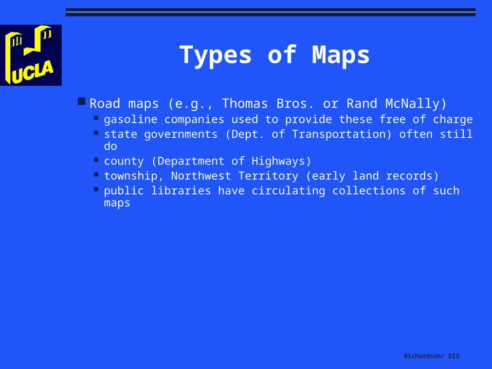
Types of Maps
Road maps (e.g., Thomas Bros. or Rand McNally) gasoline companies used to provide these free of charge state governments (Dept. of Transportation) often still do county (Department of Highways) township, Northwest Territory (early land records) public libraries have circulating collections of such maps

Richardson/ DIS
More Types of Maps
Topographic portrayal of the shape and elevation of the terrain responsibility, USGS (1879) of the US Department of Interior strong military connotations; today, selecting industrial sites, planning
highways, locating communication facilities, routing pipelines, and selecting dam sites, or recreational uses (hunting, fishing, hiking, skiing, camping, and off-roading)
Richardson/ DIS
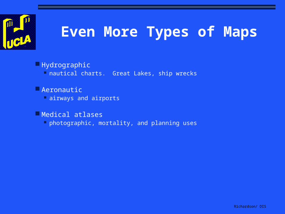
Even More Types of Maps
Hydrographic nautical charts. Great Lakes, ship wrecks
Aeronautic airways and airports
Medical atlases photographic, mortality, and planning uses
Richardson/ DIS
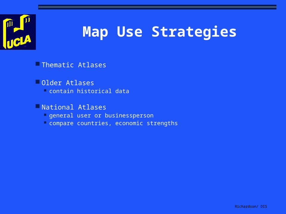
Map Use Strategies
Thematic Atlases
Older Atlases contain historical data
National Atlases general user or businessperson compare countries, economic strengths
Richardson/ DIS
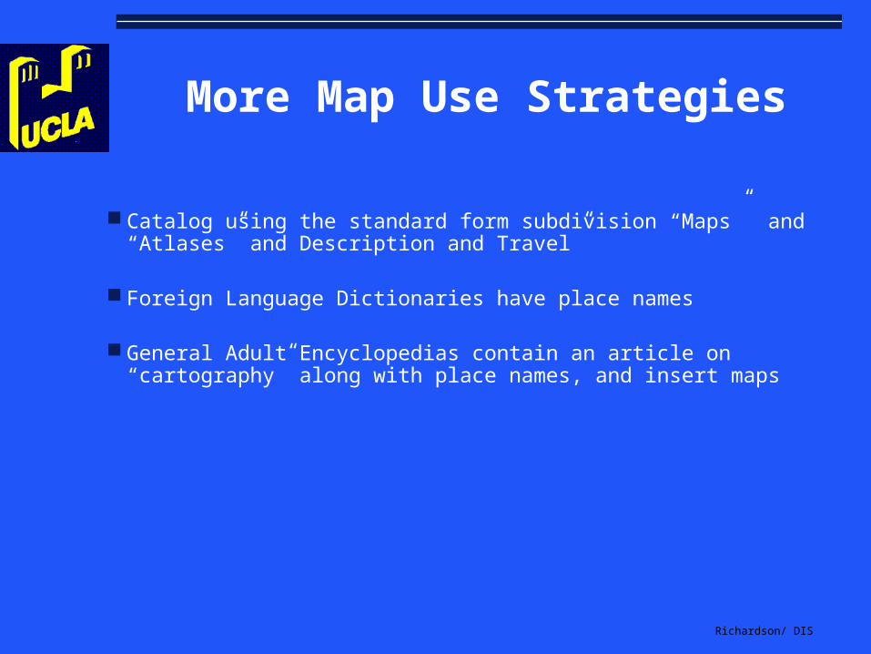
More Map Use Strategies
Catalog using the standard form subdivision “Maps” and “Atlases” and Description and Travel”
Foreign Language Dictionaries have place names
General Adult Encyclopedias contain an article on “cartography” along with place names, and insert maps
Richardson/ DIS
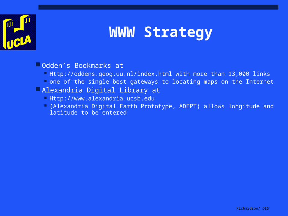
WWW Strategy
Odden’s Bookmarks at Http://oddens.geog.uu.nl/index.html with more than 13,000 links one of the single best gateways to locating maps on the Internet
Alexandria Digital Library at Http://www.alexandria.ucsb.edu (Alexandria Digital Earth Prototype, ADEPT) allows longitude and
latitude to be entered

Richardson/ DIS
Historical Cartography
American continent in the 15 and 16th century
coastlines first and then more detailed under colonial administration of Spaniards “oldest recorded manuscript…showing discovery of New World is Juan de la Cosa’s
map of 1500” first printed map, 1506 most accurate, John White who drew the coast from Chesapeake Bay in Maryland and
Virginia south to Florida between 1585 and 1587

Richardson/ DIS
Historical Cartography continued
American continent in the 17th and 18th century
first printed in US, wood cut map of 1677 “A Map of New England” high point, 1755, Lewis Evans’ Map of the Middle British Colonies in
America (engraved by Turner and printed on Franklin's press). Carey and Lea produced a war atlas (1794) and an atlas (1832) Tanner’s general atlas (1840)

Richardson/ DIS
Standards for Evaluation
Atlas as a Whole
Range and Quality of Maps
Index
Supplementary Material

Richardson/ DIS
Atlas as a Whole
Authority
Scope and Purpose
Date
Arrangement
Richardson/ DIS
Authority
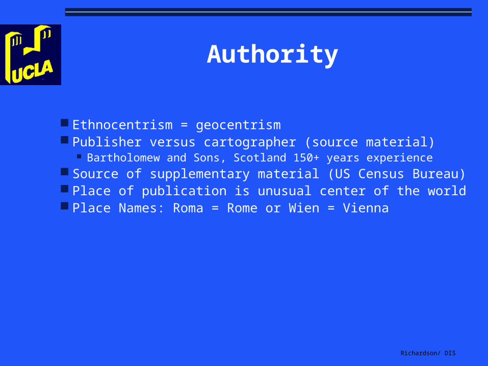
Ethnocentrism = geocentrism Publisher versus cartographer (source material)
Bartholomew and Sons, Scotland 150+ years experience Source of supplementary material (US Census Bureau) Place of publication is unusual center of the world Place Names: Roma = Rome or Wien = Vienna

Richardson/ DIS
Scope and Purpose
NGS Atlas: to “supplement the efforts of educators to eradicate scientific, political, and geographical illiteracy.”
Evaluate; do not just compare
Do not rely upon publisher’s blurb or ad
Richardson/ DIS
Dates
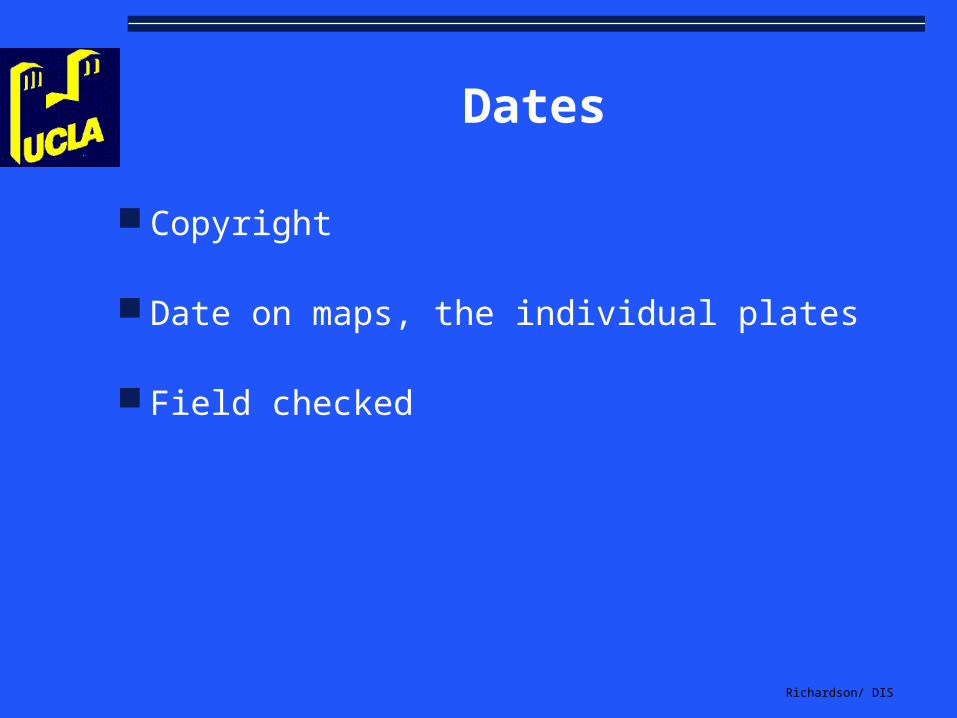
Copyright
Date on maps, the individual plates
Field checked

Richardson/ DIS
Arrangement
location based on place of publication first
order based on frequency of interest

Richardson/ DIS
Range and Quality of Maps
Authority Date Number and Adequacy Type Projection Size and Placement Scale Method of Relief Use of Colors Detail
Richardson/ DIS
Authority
Reputation of the publisher
U.S. Board of Geographic Names for spelling in the United States

Richardson/ DIS
Dates
Look at the verso of the title page and for individual plates Note political changes, since 1945, more than 40 countries have changed
names. In Africa, there have been 90 political changes. Former Soviet Union is now ...
Name changes, 500-1000 annually Study an area you know well to check; 5% obsolescence per year 5-year revision cycles; new printing vs. new edition

Richardson/ DIS
Number
Count the number of maps
New International Atlas: “The space allocated to each region reflects its relative economic and cultural significance on the world scene, as well as its total population and area. In this atlas there is an approximate balance between Anglo-America, Europe and Asia, each with over one-fifth of the total map pages. Africa, Oceania and Latin America together account for the remaining one-third.” --Foreword

Richardson/ DIS
Adequacy
Rand McNally New International -- no trans-Alaskan pipeline
Concise Atlas of the World -- Great Wall of China
New York Times Atlas (1972) Art Institute in the Chicago inset map is west of I-94

Richardson/ DIS
Adequacy continued:
Penguin World Atlas (1974) Pan American highway linked with Soviet Union with the South Atlantic
Times Atlas of the World (1975) Saigon or Ho Chi Minh City? The latter...
Hammond New Contemporary (1977) Gaza strip is in the wrong place

Richardson/ DIS
Adequacy continued further:
Encarta Interactive World Atlas Kashmir

Richardson/ DIS
Type of Maps
Physical
plate tectonics, earthquakes, volcanoes, world minerals, climatology, vegetation
Cultural
world mankind, food potential

Richardson/ DIS
Projection
3-D is a sphere (globe) versus 2-D (sheet)
Distortion: area distorted or distance distorted
Read Goode’s World Atlas or the Oxford World Atlas

Richardson/ DIS
Gerardus Mercator
based on a cylinder
longitude and latitude are straight lines
utility in navigation because compass directions are true, fine for middle latitudes
edges distort
Richardson/ DIS
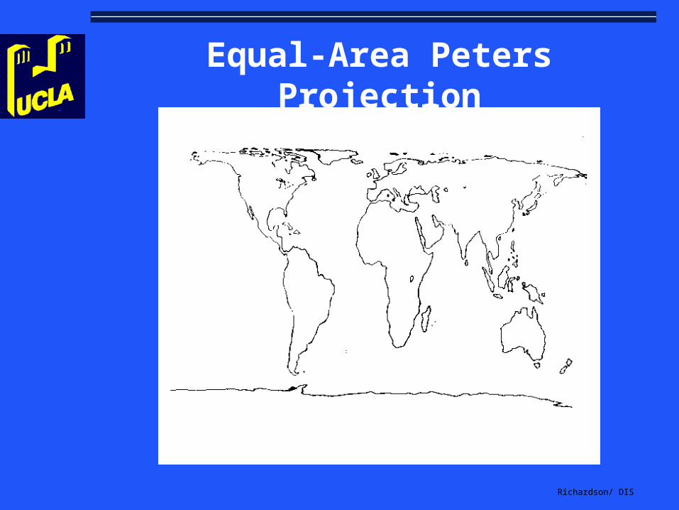
Other Projections
Lambert Conformal Conical (equal area) Mollweide Fuller Robinson Van der Grinten Peters (equal area, southern hemisphere looks more prominent)
Richardson/ DIS
Equal-Area Peters Projection
Richardson/ DIS
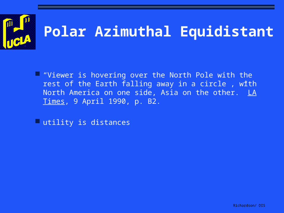
Polar Azimuthal Equidistant
“Viewer is hovering over the North Pole with the rest of the Earth falling away in a circle , with North America on one side, Asia on the other.” LA Times, 9 April 1990, p. B2.
utility is distances

Richardson/ DIS
Size and Placement
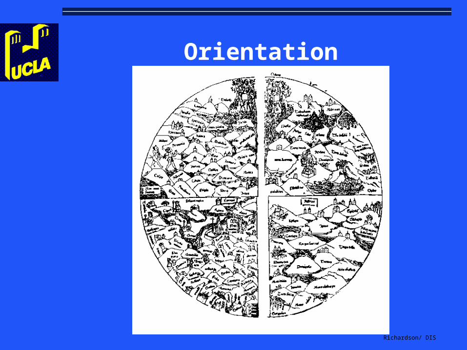
Top is North or is it East? Customary = Ethnocentric?
McArthur maps have Australia at the top
map margins; for identifying information and rebinding
Note percentage of double page maps
Richardson/ DIS
Orientation
Richardson/ DIS
The Turnabout Map

Richardson/ DIS
Scale
Expresses the size relationship between the features shown on the map and the same features on the earth’s surface expressed as a ratio or fraction: 1:24,000 or 1/24,000. 1 (inch) on map equals 24 (inch) on earth
Topographic maps are commonly 7 1/2 minute (i.e., 1:24,000), hence large sheets

Richardson/ DIS
Common Scales
1:1,000,000 1 inch equals 16 miles (USGS standard)
1:500,000 1 inch equals 8 miles (USGS standard)
1:250,000 1 inch equals 4 miles 1:100,000 1 inch equals 2 miles (GB’s
Ordinance Survey)

Richardson/ DIS
Scale Principles
same throughout, ability to compare easily
no more than 2 or 3 scales for easier comparison
consistent for comparison

Richardson/ DIS
Method of Relief
The use of lines…
hachures (hatching) in the direction of the slope (19th century) Baedeker’s Switzerland , 10th ed. (1883)
isolines, contour lines replaced this technique
dotted lines for vacant areas such as the desert
Richardson/ DIS
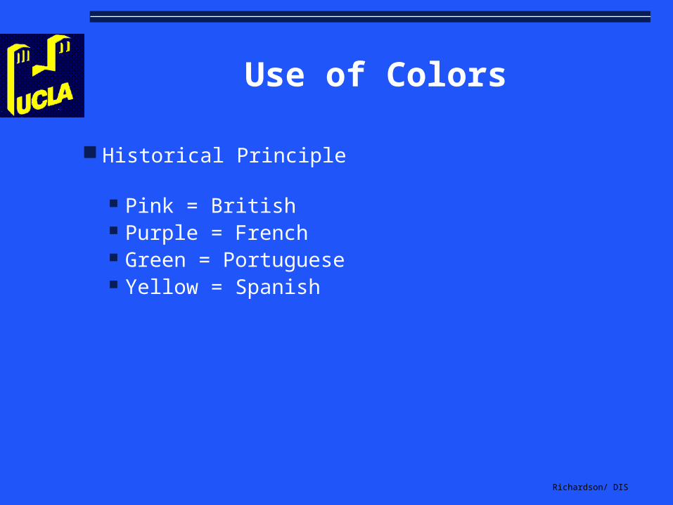
Use of Colors
Historical Principle
Pink = British Purple = French Green = Portuguese Yellow = Spanish

Richardson/ DIS
More Use of Colors
Higher the elevation, the darker the color Color according to temperature (typical satellite photos) Utility (blue for water and tan for desert) Harmony of colors (garish examples) Use of placards to identify colors (which may disappear) Five color printing (USPS)

Richardson/ DIS
Detail and Use of Symbols
larger the scale, the better the detail
larger the scale, less distortion
Topographic Map Symbols
Richardson/ DIS
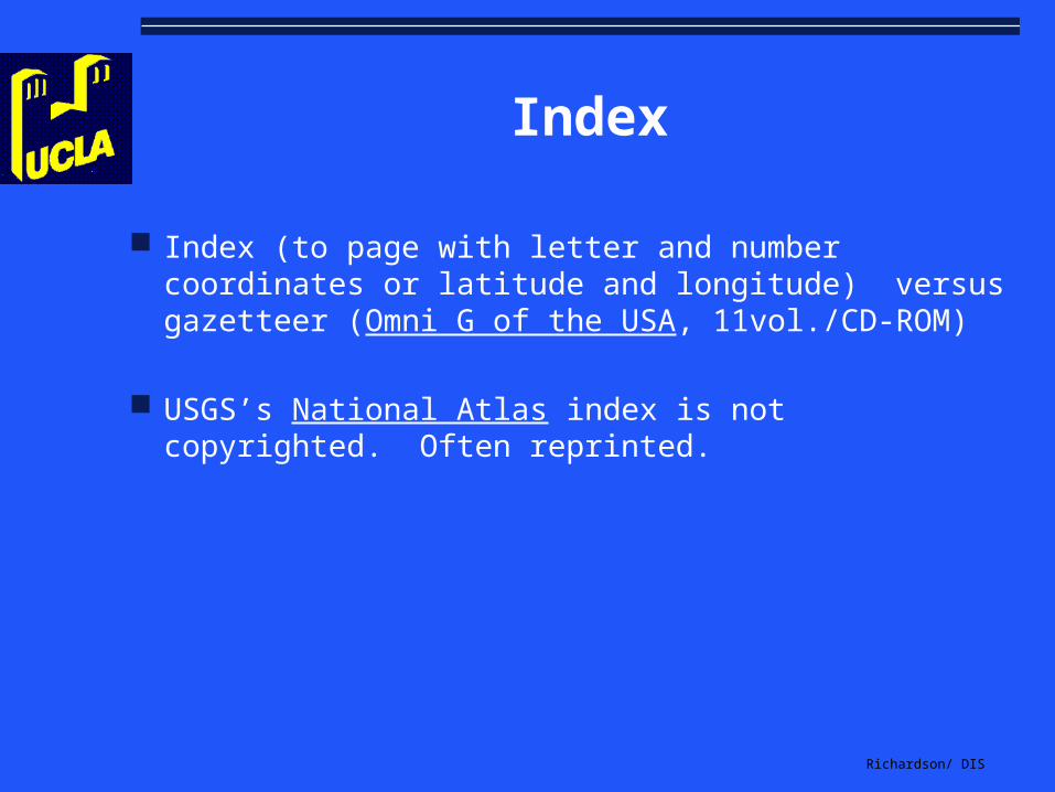
Index
Index (to page with letter and number coordinates or latitude and longitude) versus gazetteer (Omni G of the USA, 11vol./CD-ROM)
USGS’s National Atlas index is not copyrighted. Often reprinted.
Richardson/ DIS
Index continued:
100,000 to 200,000 entries is not uncommon. More is better
Running index or gazetteer on the margin
check for cross-references

Richardson/ DIS
Supplementary Material
Utility? What’s this added stuff I am paying for?
“How to Use this Atlas”, metric conversions, world temperature and rainfall, time zones, airline distances, major world cities, marching times, world chronology, bibliography, pronunciation

Richardson/ DIS
Check the Binding of Print Sources
Expense of the materials Guard -tabs Plates on hinges Loose-leaf? Advantage is update Boxed? Disadvantage is disorganization and filing updates Ledger-style on Chicago screwpost

Richardson/ DIS
CD-ROM and WWW
Concepts Computerized Atlas (for the IBM PC), 1984 Interstate Travelmate (1990), $99.95 DeLorme’s Street Atlas USA (CD-ROM), 1990 $99 DeLorme’s Topo USA (1998) topographic maps with GPS MapPoint 2000 from Microsoft $109 MapInfo’s MapInfo Pro or ESRI ArcView (Redlands) 1:2,500,000 interactive at http://atlas.geo.cornell.edu

Richardson/ DIS
Just a Gentle Reminder...
Remove the diskette now!
Related Documents