Remote Sensing of LAI Remote Sensing of LAI Conghe Song Conghe Song Department of Geography Department of Geography University of North Carolina University of North Carolina Chapel Hill, NC 27599 Chapel Hill, NC 27599

Remote Sensing of LAI Conghe Song Department of Geography University of North Carolina Chapel Hill, NC 27599.
Jan 03, 2016
Welcome message from author
This document is posted to help you gain knowledge. Please leave a comment to let me know what you think about it! Share it to your friends and learn new things together.
Transcript

Remote Sensing of LAIRemote Sensing of LAI
Conghe SongConghe Song
Department of GeographyDepartment of Geography
University of North Carolina University of North Carolina
Chapel Hill, NC 27599Chapel Hill, NC 27599

Small Leaves do the Big JobSmall Leaves do the Big Job
26126roplastlight/Chlo
22 O6OHCO6H6CO
CO2
H2O
Losing water is the price to pay for gaining CO2
stoma
Underside
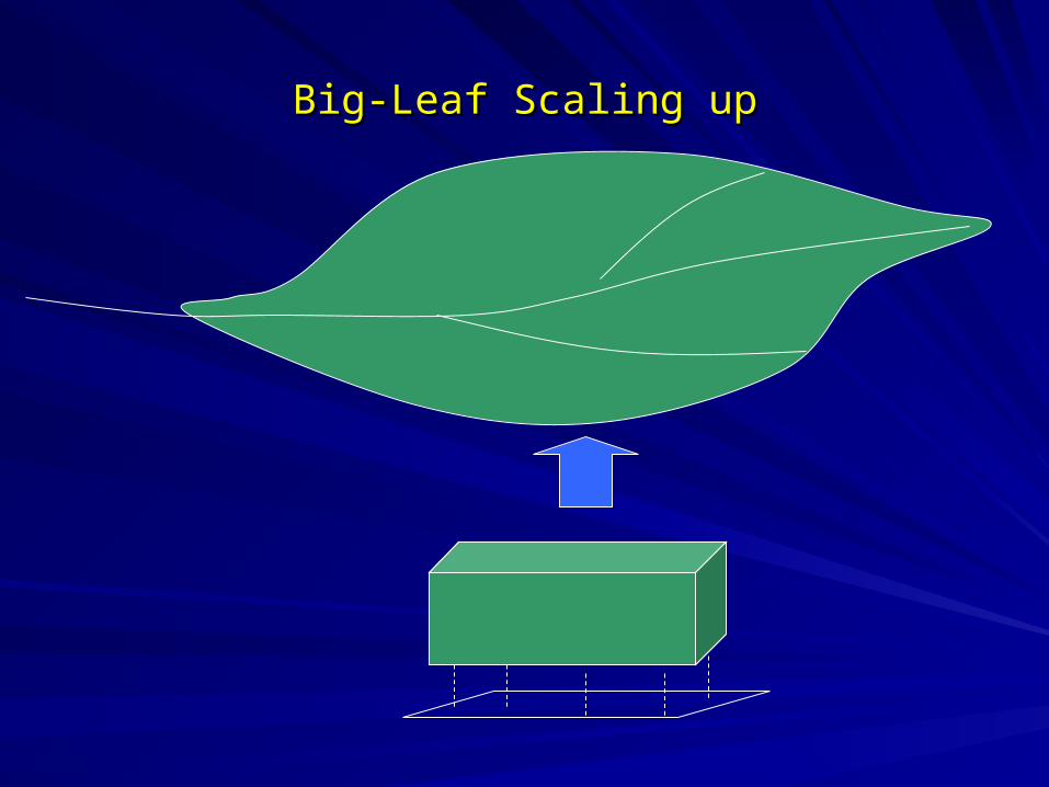
Big-Leaf Scaling upBig-Leaf Scaling up

Net Radiation
Q
Qr
La
Ls
)()( asrn LLQQR
Radiation Budget:
Energy Budget: Net radiation is used for heat storage in the soil and plant body, evaporate water (latent heat), heating the air near the surface (sensible heat), and photosynthesis

Latent Heat (Evapotranspiration)Latent Heat (Evapotranspiration)
Transpiration Evaporation
T=f(Rnet, gs, ga, VPD, T)
Uniform Canopy vs. Gappy Canopy (two-leaf scaling up)
+ = Evapotranspiration
H2O
H2O

Carbon Assimilation
Plant Resp.
Soil Resp.
NetPSN
Tower Measurement: Net Ecosystem Exchange (NEE) Measured data cannot separate Net PSN from plant (stems, leaves and roots) and soil (dead biomass) respiration. A model is needed to estimate the plant and soil respiration in order to get Net PSN.

Spectral Information of Remotely Sensed ImagerySpectral Information of Remotely Sensed Imagery
RedNIR
RedNIR
RR
RRNDVI
NDVI: [-1.0, 1.0]
Red
NIR
R
RSRVI
Red
NIR

ChallengesChallenges1. Very difficult to get ground truth data: (1) Destructive Sampling: Based on forest inventory approach, cut a tree
and measure its total leaf weight, take a sample of leaves to estimate the area to weight ratio (specific leaf area) and convert to the total leaf area for the tree. You will need to do multiple trees so that you can develop an allometric relationship between leaf area and diameter at breast height. The allometric relationship changes with species. Therefore, you have to do this for each species.
(2) Optical measurements: Based on the light intensity inside and outside a vegetation canopy measured with optical instruments, and the estimate LAI under certain assumptions.
2. Many factors confound with remote sensing signals that can cause errors in estimating LAI (1) landscape heterogeneity: different types of vegetation, land-cover types. (2) leaf angle distribution, different degrees of leaf clumping. (3) variation of soil reflectance

Empirical Studies: LAI vs NDVI/SAVIEmpirical Studies: LAI vs NDVI/SAVI
Turner et al. 1999. RSE, 70: 52-68.

Empirical Study between LAI and NDVI/SR
Chen and Cihlar, 1996. RSE, 55: 153-162.

NDVI vs. LAI from Ikonos Imagery
Colombo et al. 2003, RSE,86: 120-131.

Empirical StudiesEmpirical Studies
y = 4.3299x - 0.3806
R2 = 0.2777
0
2
4
6
8
10
12
14
1 1.5 2 2.5
SRVI
Le
af
Are
a I
nd
ex
Hardwoods
Pines
y = 13.866x + 3.8225
R2 = 0.2048
0
2
4
6
8
10
12
14
0 0.1 0.2 0.3 0.4 0.5
NDVIL
ea
f A
rea
In
de
x
Hardwoods
Pines
Song and Dickinson, in press, IJRS.

LAI and Spatial SignalsLAI and Spatial Signals
y = 0.0001x + 3.5477
R2 = 0.6238
0
2
4
6
8
10
12
14
0 10000 20000 30000 40000 50000 60000
Image Variances (Pixel Size=4x4m)
Lea
f A
rea
Ind
ex
hardwoods
conifer
y = -7.5334x + 17.85
R2 = 0.567
2
3
4
5
6
7
8
9
10
11
12
1 1.2 1.4 1.6 1.8 2
V2/V3
Lea
f A
rea
Inde
x
Hardwoods
Conifer
Song and Dickinson, in press, IJRS.

Physical Based Model Inversions from Remote SensingPhysical Based Model Inversions from Remote Sensing
MODIS/MISR LAI Product:
(1) Global vegetation classified into 6 biomes: Broadleaf Forests, Needleleaf Forests, Shrubs, Savannas, Broadleaf Crops, Grasses and Cereal Crops.
(2) Use 3-D radiation transfer algorithms to invert for LAI and built a look-up-table (LUT) to retrieve LAI operationally from remotely sensed signals.
(3) Independent validations found that MODIS LAI provide a good estimates when LAI is low, while it can be significantly overestimated (Cohen et al., 2006).

Validation of MODIS LAI version 3Validation of MODIS LAI version 3
Cohen et al. 2003. RSE, 88:233-255

Validation of MODIS LAI version 4Validation of MODIS LAI version 4
Cohen et al., 2006. IEEE Transactions on Geoscience and Remote Sensing, 44(7): 1843-1857,
Related Documents


![Chapel Hill, NC 27599-3490 CONNECT ENGAGE...Chapel Hill, NC 27599-3490 P ] 919.962.3209 University Career Services 219 Hanes Hall, CB 5140 P ] 919.962.6507 Chapel Hill, NC 27599 To](https://static.cupdf.com/doc/110x72/5e3b617fdabc404781309171/chapel-hill-nc-27599-3490-connect-engage-chapel-hill-nc-27599-3490-p-9199623209.jpg)