1 Bureau International des Poids et Mesures Relation between GNSS system times and UTC W. Lewandowski Bureau International des Poids et Mesures Radiocommunication development in light of WRC-12 decision St. Petersburg, 6-8 JUNE 2012 Bureau International des Poids et Mesures Outline of presentation • A historical note • Time scales • Navigation on seas • Global Navigation Satellite Systems – GNSS • Relation between UTC and GNSS time scales • GPS time • Glonass time • Galileo system time • GPS/Galileo Time/Offset (GGTO) • BeiDou system time

Welcome message from author
This document is posted to help you gain knowledge. Please leave a comment to let me know what you think about it! Share it to your friends and learn new things together.
Transcript
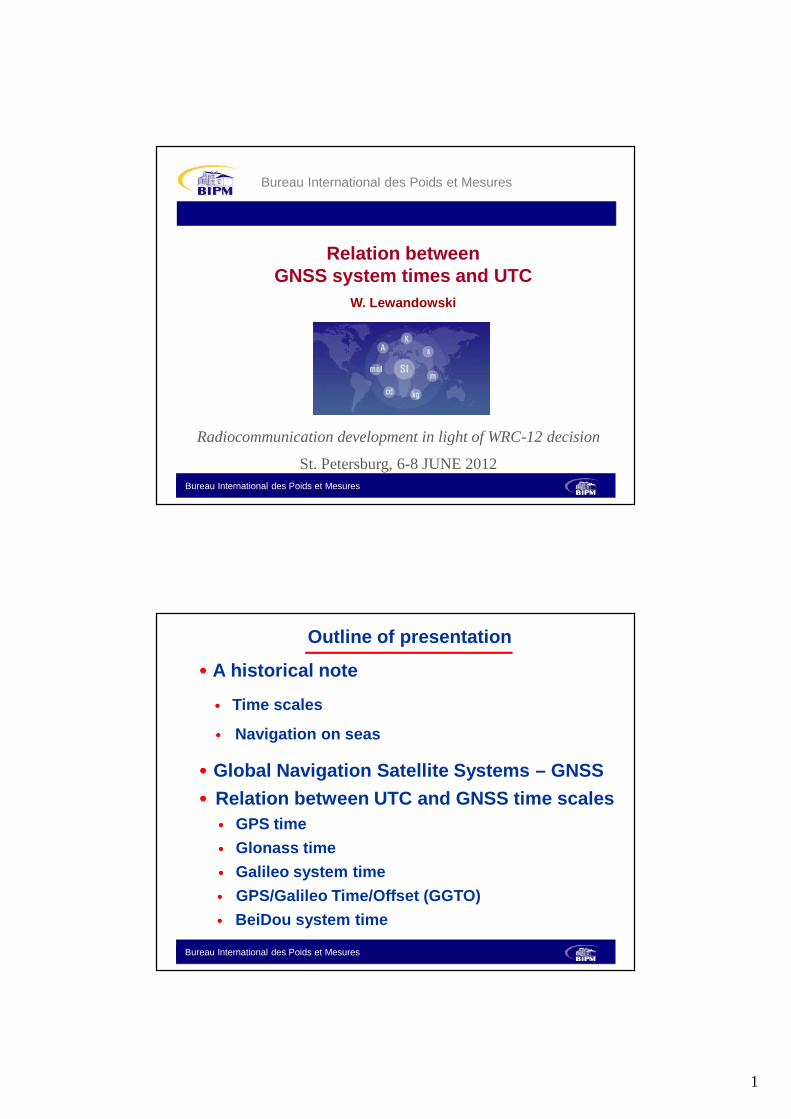
1
Bureau International des Poids et Mesures
Relation between GNSS system times and UTC
W. Lewandowski
Bureau International des Poids et Mesures
Radiocommunication development in light of WRC-12 decision
St. Petersburg, 6-8 JUNE 2012
Bureau International des Poids et Mesures
Outline of presentation
•••• A historical note
•••• Time scales
•••• Navigation on seas
•••• Global Navigation Satellite Systems – GNSS
•••• Relation between UTC and GNSS time scales•••• GPS time
•••• Glonass time
•••• Galileo system time
•••• GPS/Galileo Time/Offset (GGTO)
•••• BeiDou system time

2
Bureau International des Poids et Mesures
Unification of time
���� 1884 - Adoption of a prime meridian Greenwich and of an associated time -universal time, based on the rotationof the Earth.
���� 1948 -International Astronomical Union recommends the use of Universal Time (UT).
���� 1968 -13th General Conference of Weights and Measuresadopted a definition of SI second, based on a caesiumtransition, and opened the way toward the formal definition of International Atomic Time (TAI).
���� 1971 -International Astronomical Union, InternationalTelecommunications Union, General Conference of Weights and Measures recommend the use ofCoordinated Universal Time (UTC) based on TAI.Introduction of leap seconds.
���� 2000 - Use of leap seconds under revision
Bureau International des Poids et Mesures
If you want to know where you are,
get an accurate clock.

3
Bureau International des Poids et Mesures
Accurately
knowing where we are on Earth
has been worth a big investment.
Bureau International des Poids et Mesures
Longitude Act of 1714
Launch of the 50th GPS satellite, 2004
U. S. Navy radiotowers, Arlington, Virginia, about 1914
Courtesy of Smithonian Institution

4
Bureau International des Poids et Mesures
John Harrison
Working model of Harrison’ssecond marine timekeeper
Harrison’s fourthmarine timekeeper
Courtesy of Smithonian Institution
Bureau International des Poids et Mesures
First atomic clock UK, 1955
GNSS are based on atomic clocks

5
Bureau International des Poids et Mesures
GLONASS 1982
First GNSS satellites
Bureau International des Poids et Mesures
GLONASSRussian Federation Global Navigation System
� First satellite in 1982
� At present full 24 satellites constellation
� P-code, C/A –code, no signal degradation
� Reference frame PZ-90
� Dual use technology

6
Bureau International des Poids et Mesures
24 GLONASS satellites 19 100 km above Earth
Bureau International des Poids et Mesures
Position determination by GNSS
R

7
Bureau International des Poids et Mesures
GNSS Navigation solution based on time measurement
•••• A common reference time scale is required
- ideally a common clock
•••• GNSS satellites equipped with atomic clocks
•••• For example : GPS time is realized across
GPS constellation with an uncertainty of
about 10 ns
Bureau International des Poids et Mesures
System times
• GNSS times � System times (pseudo-time scales)� Constructed from a clock ensemble� Used for internal system synchronization� Continue (desirable)� Metrological quality ( ? )� Steered to a reference time scale
• GPS time
• GLONASS time
• Galileo time
• BeiDou time

8
Bureau International des Poids et Mesures
[TAI - Time scale (i )]
-5
5
15
25
35
1970 1980 1990 2000 2010
Year
Tim
e di
ffere
nce
/sec
onds
UTCGLONASS time
GPS time
TAI
GALILEO time?
Bureau International des Poids et Mesures
[TAI - Time scale (i )]
-5
5
15
25
35
1970 1980 1990 2000 2010
Year
Tim
e di
ffere
nce
/sec
onds
UTC
GLONASS time
GPS time
TAI GALILEO time

9
Bureau International des Poids et Mesures
Bureau International des Poids et Mesures

10
Bureau International des Poids et Mesures
GNSS system times (cont.)
GPS time: steered to UTC(USNO) modulo 1s� [TAI – GPS time] = 19 s + C0� [UTC -GPS time] = -15 s + C0� Tolerance is 1 µs
GLONASS time: steered to UTC(SU) with leap second� [TAI – GLONASS time] = 34 s + C1� [UTC – GLONASS time] = C1� Tolerance is 1 ms
Galileo time: steered to a set of EU UTC(k); using GPS time seconds, GGTO
� [TAI – Galileo time] = 19 s + C2� [UTC -Galileo time] = -15 s + C2� Tolerance is 50 ns
BeiDou time: will be steered to set of Chinese UTC(k)� [TAI –COMPASS time] = 33 s + C3� [UTC -COMPASS time] = -1 s + C3� Tolerance is 100 ns
Babel Tower
Bureau International des Poids et Mesures
Multiple GNSS use
•••• Users need:
•••• Interoperability
•••• Interchangability
•••• Common geodetic and time references are
necessary
•••• A number of recommendations by:•••• ICG
•••• CCTF
•••• CIPM
•••• CGPM

11
Bureau International des Poids et Mesures
International Committee on Global Navigation Satellite Systems (ICG)
ICG is meeting annually:
● last time in September 2011 in Tokyo
● next time in November 2012 in Beijing
Bureau International des Poids et Mesures
ICG Recommendations International Committee on Global Navigation Satellite Systems (ICG)
considering
- the international value of having many GNSS operational with a composite contribution of several tens of satellites,
- the desirability of using all systems interchangeably, - the use by GPS of references very close to UTC and ITRF, - the GLONASS efforts to approach UTC and ITRF, - the Galileo design referring to UTC and ITRF, - that other important satellite navigation systems are now being designed and
developed*),
recommends
- that the reference times (modulo 1 s) of satellite navigation systems be synchronized as closely as possible to UTC,
- that the reference frames for these systems be in conformity with the ITRF, - that these systems broadcast, in addition to their own System Time (ST):
1. the time difference between ST and a real-time realization of UTC, 2. a prediction of the time differences between ST and UTC.
*) Compass, IRNSS, QZSS, various SBAS, …

12
Bureau International des Poids et Mesures
CCTF’2009 recommendations
� CCTF 3: On the weakness of the present
definition of UTC
� CCTF 4: Concerning adoption of a common
terrestrial reference system by the CGPM
� CCTF 5: Alignment of Geodetic References
and synchronization of Time References to
international standards
Bureau International des Poids et Mesures
Recommendation CCTF 4 (2009) (1)Concerning adoption of a common terrestrial reference system by the CGPM
The Consultative Committee for Time and Frequency,
considering that
● there exists at present only a few global satellite navigation systems but that new ones are being created and in the future there may be many more,● different time and geodesy reference systems, which are in use in these navigation systems, produce additional ambiguities for users regarding interpretation of navigation and timing solutions and render systems interoperability more difficult, ● although the international terrestrial reference system ITRS is recommended by relevant scientific unions, it has not yet been adopted by an intergovernmental organization,● such an adoption by the appropriate intergovernmental organization would lead to more user convenience regarding unification of navigation and timing solutions and systems interoperability;

13
Bureau International des Poids et Mesures
Recommendation CCTF 4 (2009) (2)
noting that
one of the key factors that led to the creation of the BIPM and the Metre Convention was the recommendation of the Second International Conference on Geodesy for the Measurement of Degrees in Europe held in Berlin in 1867 that a European international bureau of weights and measures be set up in order to unify European geodesy standards.
recommendsthat
after agreement with the relevant scientific unions, the Director of the BIPM formally discuss with the CIPM the steps so that the 24th CGPM be asked to adopt the ITRS, as defined by the IUGG and realized by the IERS and IGS, as the international standard for terrestrial reference frames used for all metrological applications.
Bureau International des Poids et Mesures
GPS/GALILEO Time Offset (GGTO)
Five different ways of the determination of GGTO:
1. Using a GPS receiver at PTF and GST realized at PTF. 2. Using a single GPS/Galileo receiver. 3. Using two separate GPS and Galileo receivers. 4. Using a GPS receiver at USNO, a Galileo receiver at PTF,
and TWSTFT link between USNO and PTF. 5. Using a GPS receiver at USNO, a Galileo receiver at PTF,
and GPS P3 CV link between USNO and PTF.
GGTO will be broadcast by GALILEO

14
Bureau International des Poids et Mesures
Determination of GGTO at Galileo PTF
Bureau International des Poids et Mesures
GGTO determined using separate GPS and Galileo rece ivers at PTF
Uncertainty budget
Real-time Real-timeSource of (broadcast (ultra-rapiduncertainty orbits) predicted)
smoothing smoothing24h back 24h back
Smoothed GPS P3 3.0 ns 2.0 nsSmoothed Galileo P3 3.0 ns 2.0 nsGPS rec. calib. 2.5 ns 2.5 nsGalileo rec. calib. 2.5 ns 2.5 ns--------------------------------------------------------------------------------------------Total uncert. 5.5 ns 4.5 ns

15
Bureau International des Poids et Mesures
GNSS time dissemination
GNSS broadcast :
•••• System time
•••• Prediction of UTC(k) through broadcasting related
correction to system time
Bureau International des Poids et Mesures
UTC- ....2011 GPS timeUTC(USNO) GLONASS UTC(SU)
+15 s by GPS time by GLONASS/ns /ns /ns /ns
APR 1 -3.5 -3.4 -153.8 -307.8 APR 2 -3.0 -3.8 -156.1 -312.8 APR 3 -2.3 -2.2 -154.8 -313.4 APR 4 -4.3 -5.0 -152.0 -311.9 APR 5 -2.6 -3.8 -152.4 -313.5 APR 6 1.1 0.8 -153.9 -316.4 APR 7 0.3 -0.7 -155.2 -319.4 APR 8 -2.2 -3.5 -156.0 -322.0 APR 9 -3.3 -3.4 -154.7 -322.5 APR 10 -8.0 -8.5 -153.2 -322.7 APR 11 -10.2 -10.4 -151.6 -323.1 APR 12 -7.9 -5.9 -146.9 -320.5 APR 13 -3.7 -2.2 -146.5 -321.3 APR 14 -3.0 -2.0 -147.6 -323.8 APR 15 -2.4 -2.0 -148.4 -325.7
Stand. dev. 1.5 1.6 6.8 6.8 Uncert. uB 10.0 10.0 500.0 500.0

16
Bureau International des Poids et Mesures
Bureau International des Poids et Mesures

17
Bureau International des Poids et Mesures
Bureau International des Poids et Mesures
AOS/BIPM, GPS+GLONASS, P1 CODE
RMS ~ 1.8 ns

18
Bureau International des Poids et Mesures
Accurately
knowing where we are on Earth
has been worth a big investment.
Bureau International des Poids et Mesures

19
Bureau International des Poids et Mesures
Summary (1/2)
•••• GNSS providers choose most often flat system times for safety of life issues, because of weakness of stepping UTC
•••• GNSS system times are not representations of UTC, and being broadcast they are not fulfilling requests of ITU, which is recommending only UTC to be broadcast, even if GNSS broadcast predictions of UTC(k).
•••• Only GLONASS system time is a representation of UTC, so rigourously fulfilling recommendations of ITU, but is experiencing major difficulties.
Bureau International des Poids et Mesures
Summary (2/2)
•••• GNSS system times shall be considered as internal technical parameters used only for internal system synchronization, but this is not the case.
•••• Flat system times are used for a number of apllications, contributing to proliferation of alternative time scale, and creating major source of confusion.
•••• Within GNSS might be a confusion by using system time and UTC for dating various system functions.
•••• Possible errors due to leap second when using MJD datation.
•••• GNSS users need interoperability or even interchangability of various systems. Multiplicity of reference time scales is not helping.
20
Bureau International des Poids et Mesures
Louis Essen :
“…… In 1960s there was a suggestion that astronomical time should be used for sea navigation and domestic purposes, and atomic time for air navigation and scientific work. My experiences with time signals and standard frequency transmissions convinced me that this would cause endless confusion as well as involving duplication of equipment and I argued strongly that a method of combining all the information in one set of transmission must be found…..”
Bureau International des Poids et Mesures
Greenwich Mean Time runs
about one second a year
slow. And that sort of
inaccuracy just will not do in
the France of President
Giscard d’Estaing.
…
The International Office of
Time is not in Greenwich – it
is based in the Observatory
at Paris, where President
Giscard d’Estaing can watch
it more closely.
Reactions against the UTC…

21
Bureau International des Poids et Mesures
Bureau International des Poids et Mesures
Recently a journaliste to me:
„Fittingly for an interview about time, I managed to miscalculate the time that I was due to call you, by one hour. I have just realised, so I am sorry for the confusion.”

22
Bureau International des Poids et Mesures
Related Documents