Recent Advances in Geographic Information Science Recent Advances in Geographic Information Science Michael F. Goodchild University of California Santa Barbara

Welcome message from author
This document is posted to help you gain knowledge. Please leave a comment to let me know what you think about it! Share it to your friends and learn new things together.
Transcript
Recent Advances in Geographic Information Science
Recent Advances in Geographic Information Science
Michael F. GoodchildUniversity of California
Santa Barbara
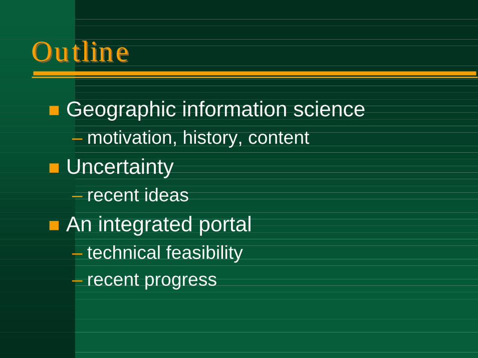
OutlineOutline
! Geographic information science– motivation, history, content
! Uncertainty– recent ideas
! An integrated portal– technical feasibility– recent progress
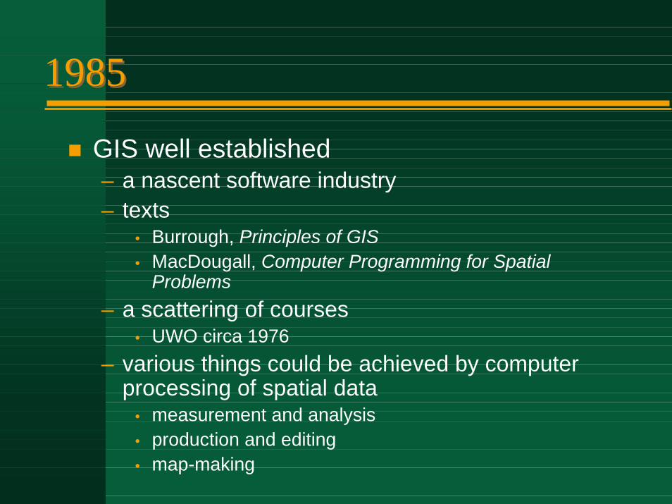
19851985
! GIS well established– a nascent software industry– texts
• Burrough, Principles of GIS• MacDougall, Computer Programming for Spatial
Problems– a scattering of courses
• UWO circa 1976– various things could be achieved by computer
processing of spatial data• measurement and analysis• production and editing• map-making
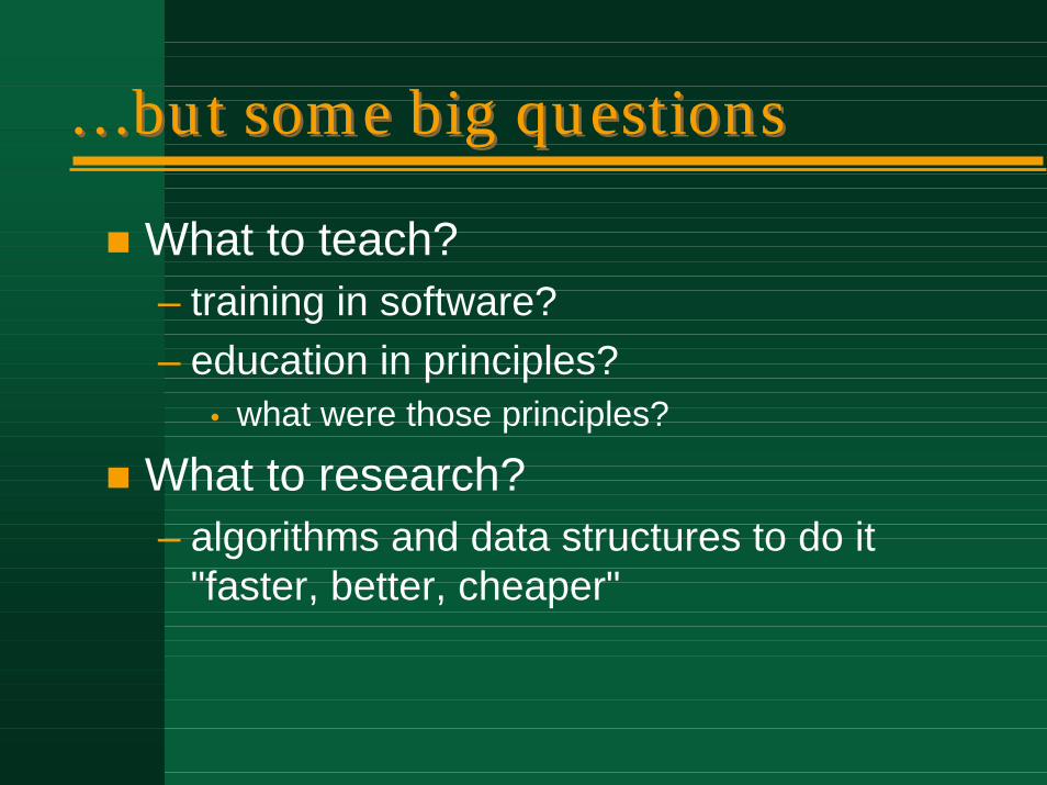
…but some big questions…but some big questions
! What to teach?– training in software?– education in principles?
• what were those principles?
! What to research?– algorithms and data structures to do it
"faster, better, cheaper"
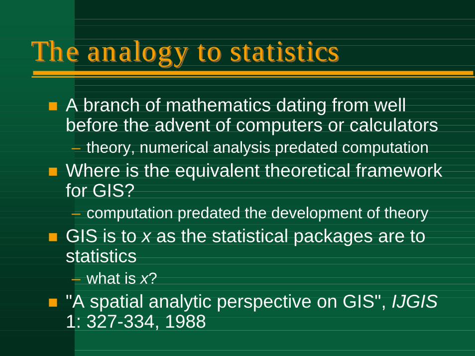
The analogy to statisticsThe analogy to statistics
! A branch of mathematics dating from well before the advent of computers or calculators– theory, numerical analysis predated computation
! Where is the equivalent theoretical framework for GIS?– computation predated the development of theory
! GIS is to x as the statistical packages are to statistics– what is x?
! "A spatial analytic perspective on GIS", IJGIS1: 327-334, 1988
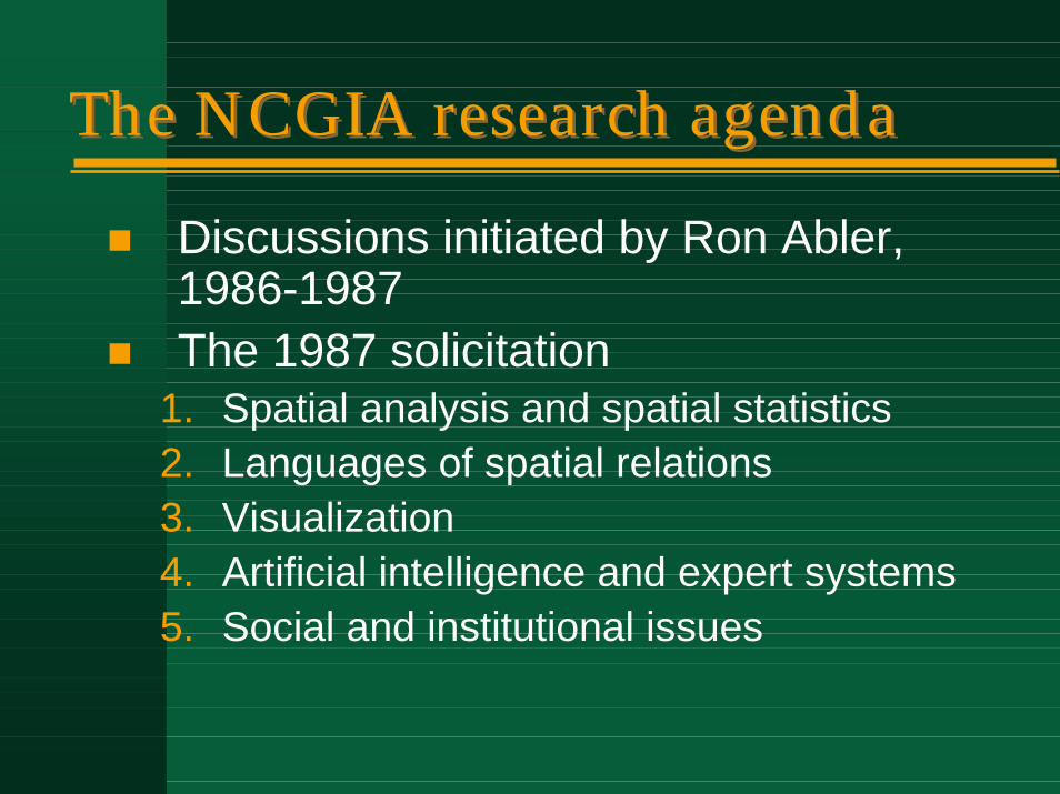
The NCGIA research agendaThe NCGIA research agenda
! Discussions initiated by Ron Abler, 1986-1987
! The 1987 solicitation1. Spatial analysis and spatial statistics2. Languages of spatial relations3. Visualization4. Artificial intelligence and expert systems5. Social and institutional issues
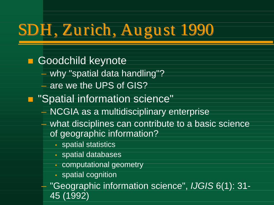
SDH, Zurich, August 1990SDH, Zurich, August 1990
! Goodchild keynote– why "spatial data handling"?– are we the UPS of GIS?
! "Spatial information science"– NCGIA as a multidisciplinary enterprise– what disciplines can contribute to a basic science
of geographic information?• spatial statistics• spatial databases• computational geometry• spatial cognition
– "Geographic information science", IJGIS 6(1): 31-45 (1992)
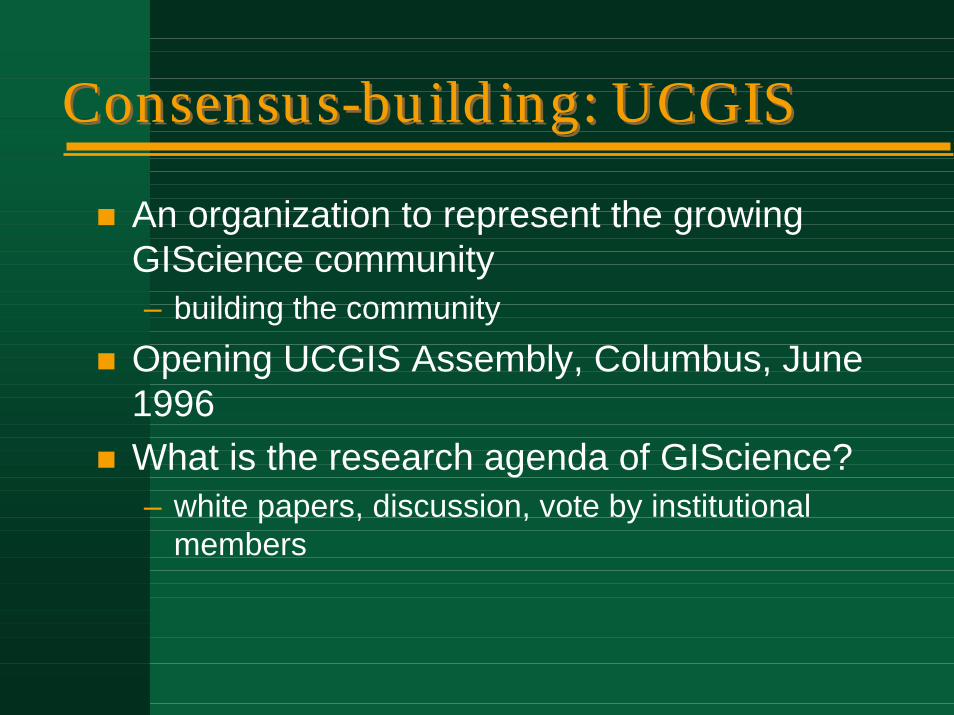
Consensus-building: UCGISConsensus-building: UCGIS
! An organization to represent the growingGIScience community– building the community
! Opening UCGIS Assembly, Columbus, June 1996
! What is the research agenda of GIScience?– white papers, discussion, vote by institutional
members
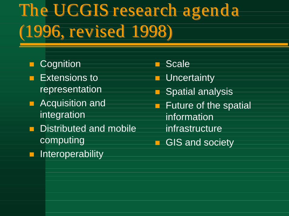
The UCGIS research agenda (1996, revised 1998)The UCGIS research agenda (1996, revised 1998)
! Cognition! Extensions to
representation! Acquisition and
integration! Distributed and mobile
computing! Interoperability
! Scale! Uncertainty! Spatial analysis! Future of the spatial
information infrastructure
! GIS and society
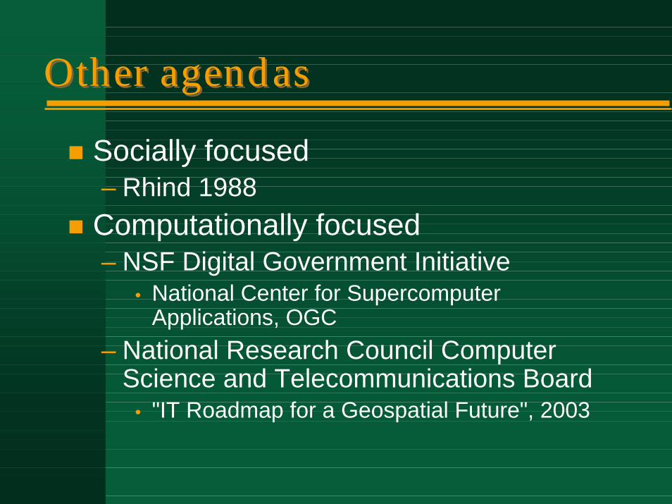
Other agendasOther agendas
! Socially focused– Rhind 1988
! Computationally focused– NSF Digital Government Initiative
• National Center for Supercomputer Applications, OGC
– National Research Council Computer Science and Telecommunications Board
• "IT Roadmap for a Geospatial Future", 2003
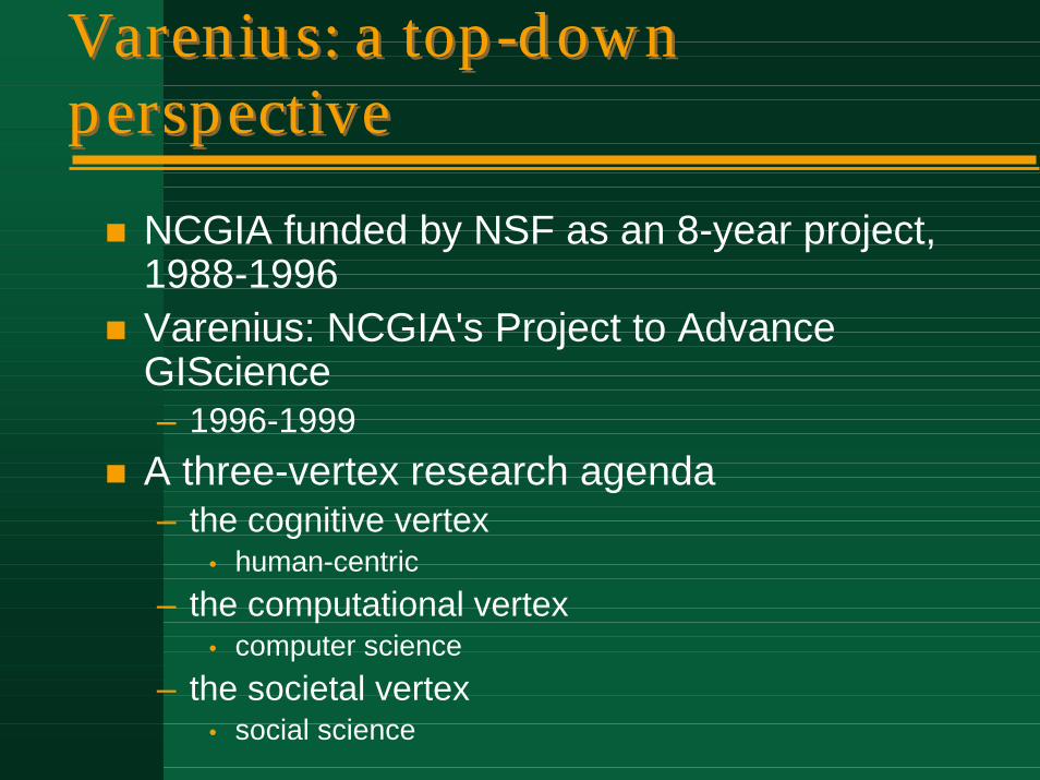
Varenius: a top-down perspectiveVarenius: a top-down perspective
! NCGIA funded by NSF as an 8-year project, 1988-1996
! Varenius: NCGIA's Project to AdvanceGIScience– 1996-1999
! A three-vertex research agenda– the cognitive vertex
• human-centric– the computational vertex
• computer science– the societal vertex
• social science
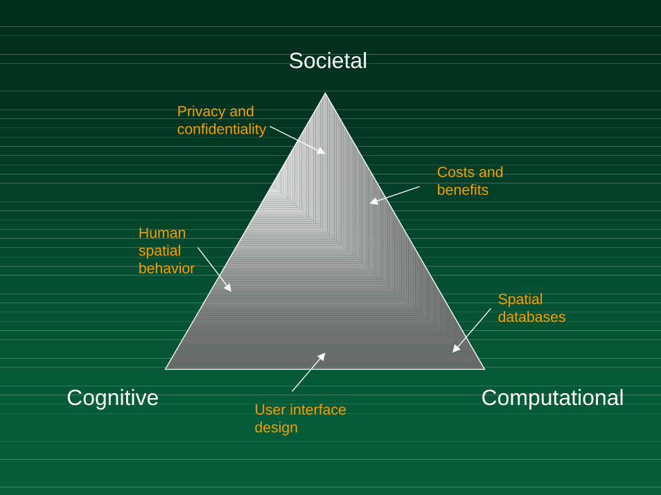
Societal
Cognitive ComputationalUser interface design
Costs and benefits
Spatial databases
Human spatial behavior
Privacy and confidentiality
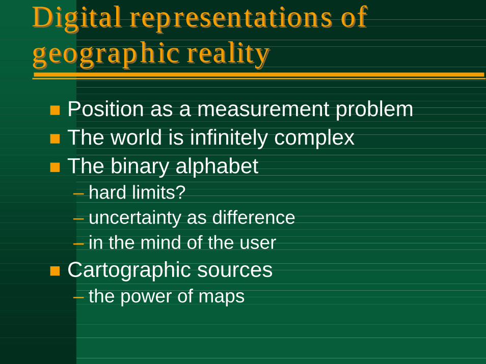
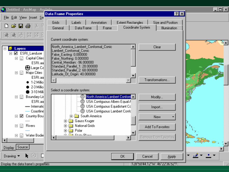
Digital representations of geographic realityDigital representations of geographic reality
! Position as a measurement problem! The world is infinitely complex! The binary alphabet
– hard limits?– uncertainty as difference– in the mind of the user
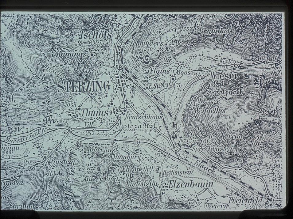
! Cartographic sources– the power of maps

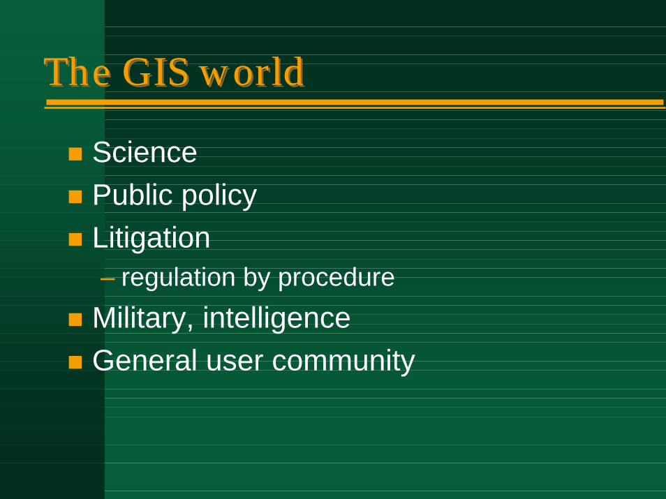
The GIS worldThe GIS world
! Science! Public policy! Litigation
– regulation by procedure! Military, intelligence! General user community

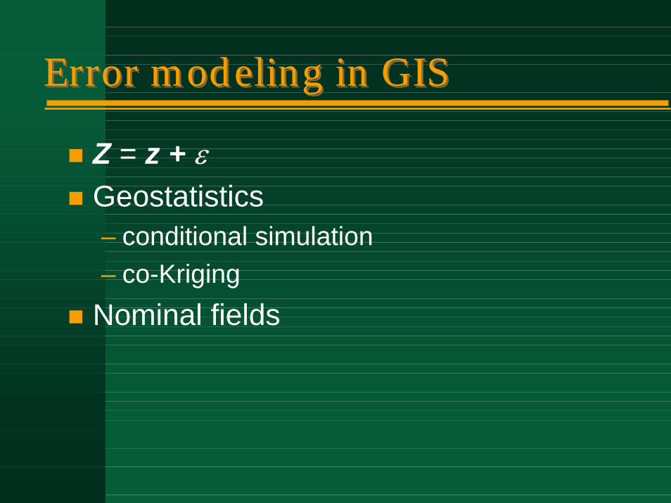
Error modeling in GISError modeling in GIS
! Z = z + ε! Geostatistics
– conditional simulation– co-Kriging
! Nominal fields
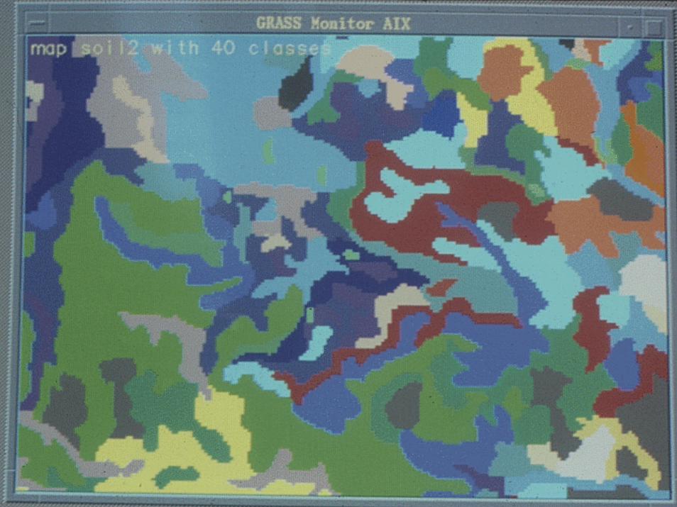
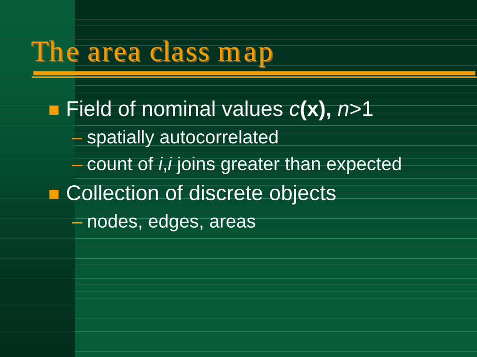
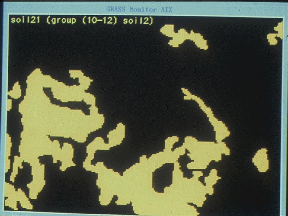
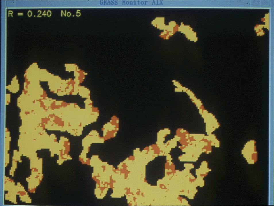
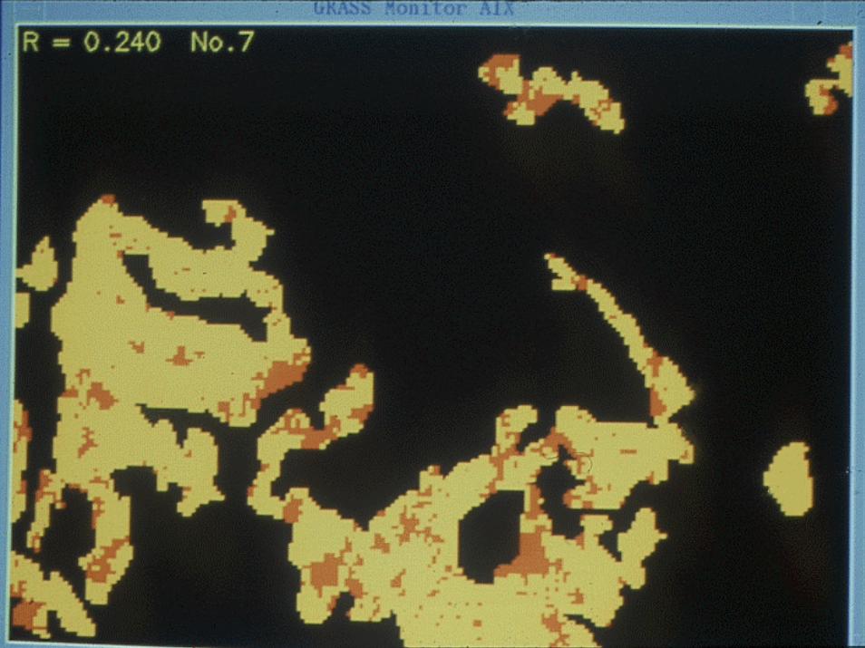
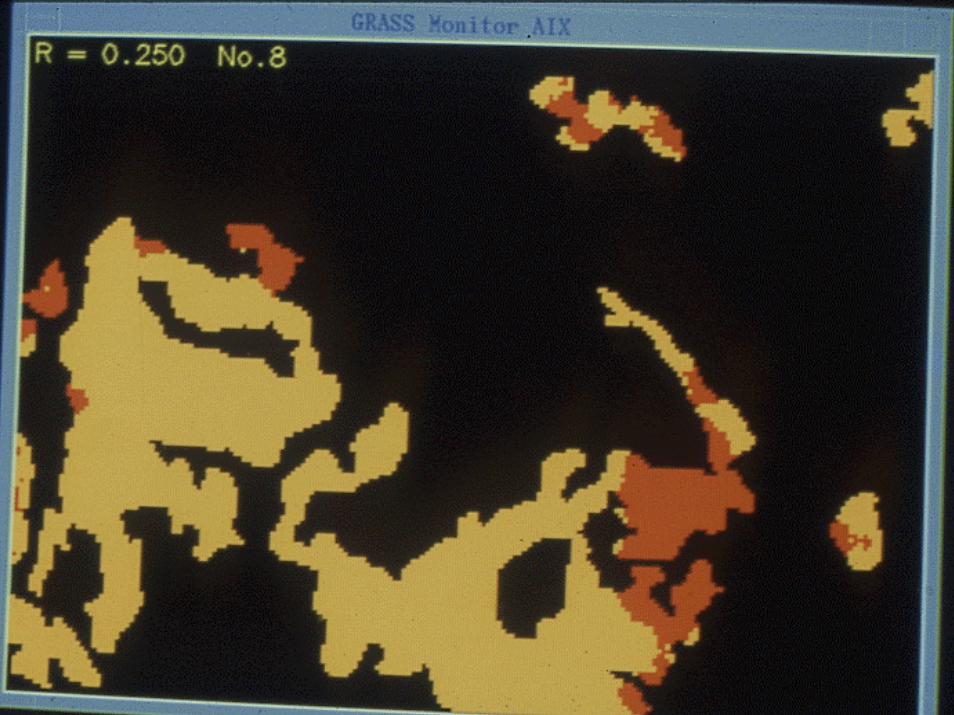
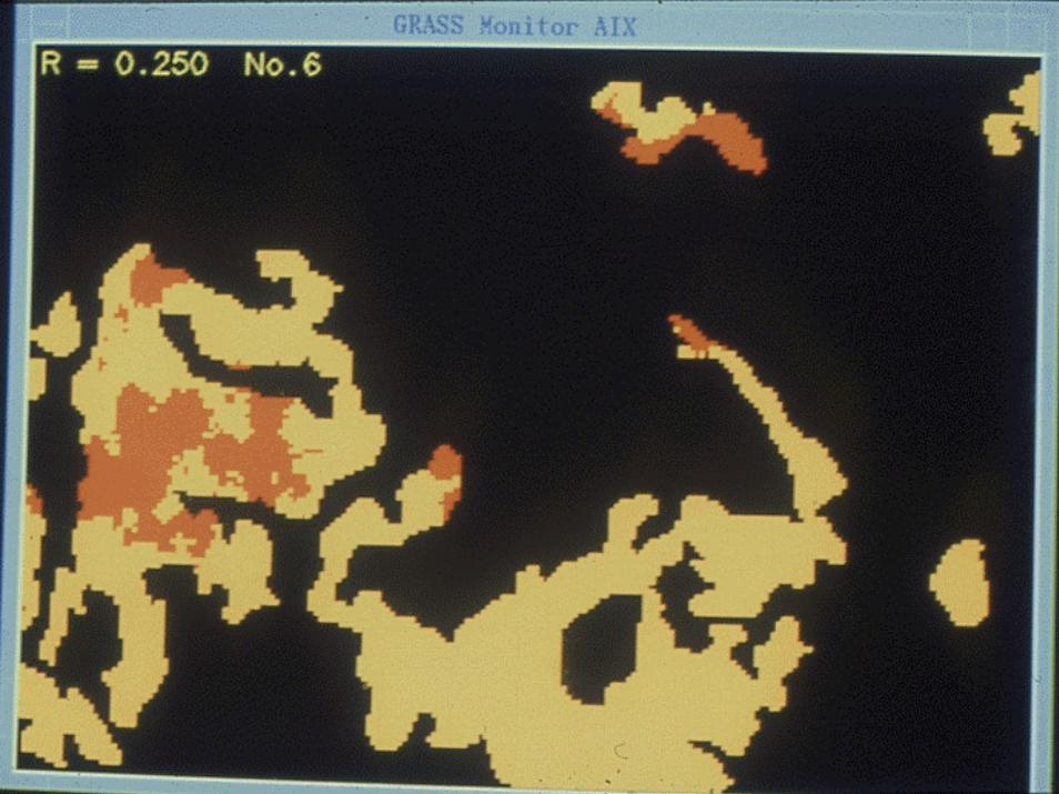
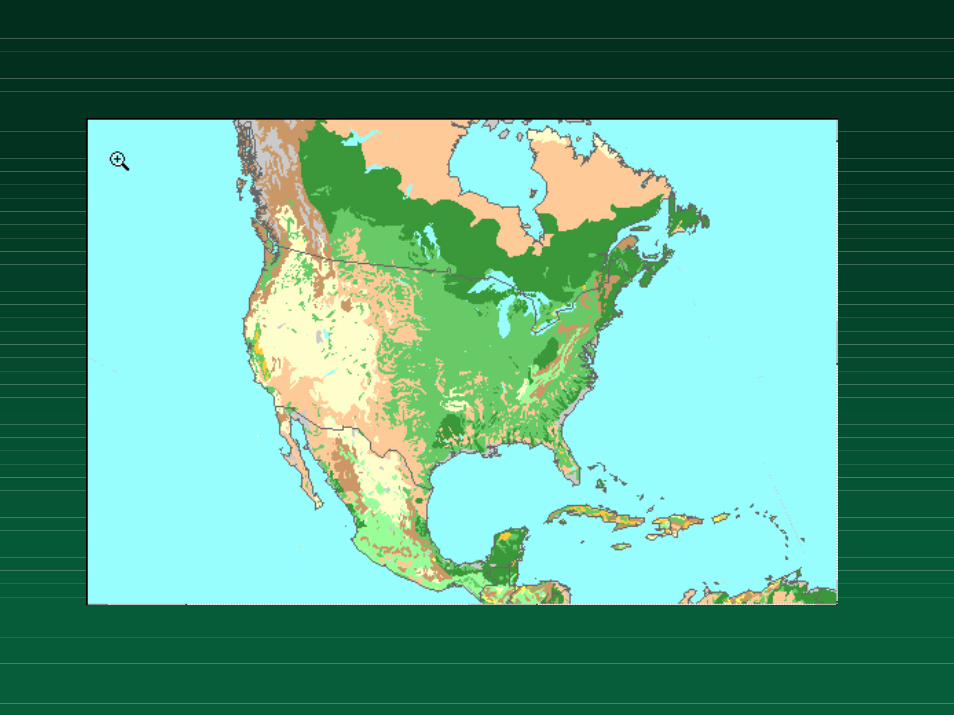
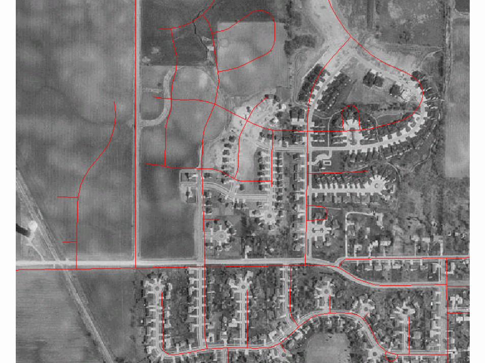
The area class mapThe area class map
! Field of nominal values c(x), n>1– spatially autocorrelated– count of i,i joins greater than expected
! Collection of discrete objects– nodes, edges, areas

The confusion matrixThe confusion matrix
! Useful descriptive device– quality control
! Comparing classifiers, observers, scales, accuracies
! Use all map (measure or count areas), sample of areas, points, pixels
! No information on joint distributions– little value for error modeling, uncertainty analysis
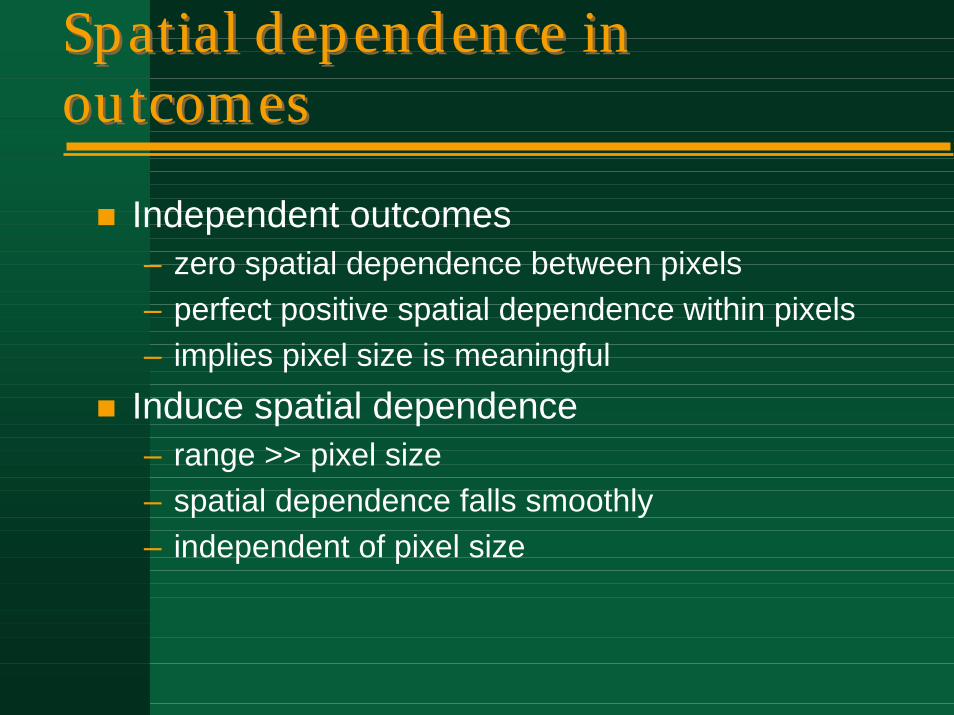
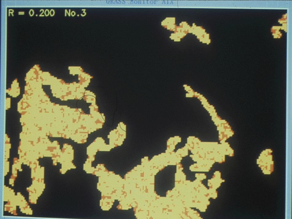
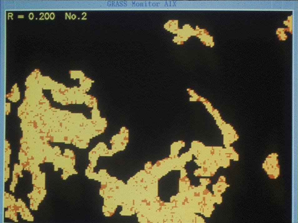
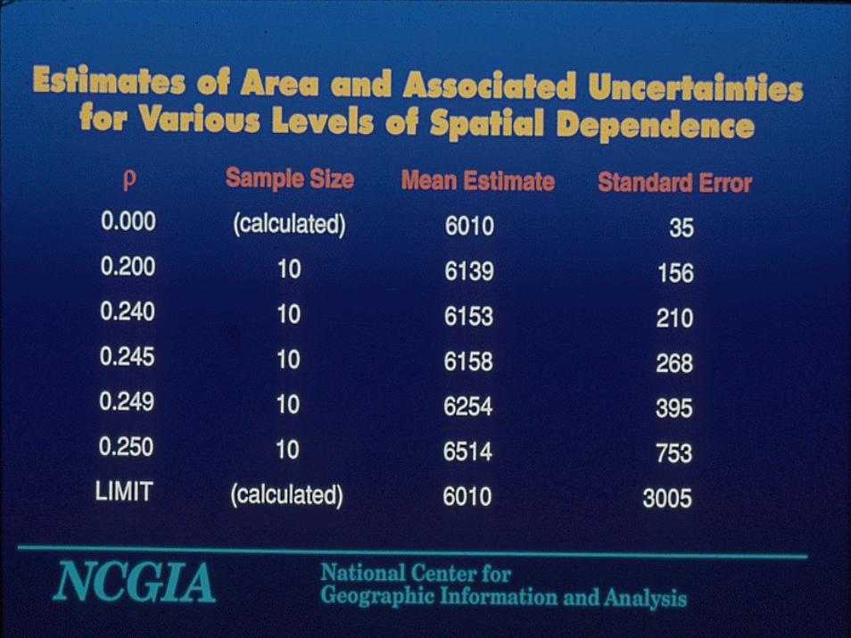
Spatial dependence in outcomesSpatial dependence in outcomes
! Independent outcomes– zero spatial dependence between pixels– perfect positive spatial dependence within pixels– implies pixel size is meaningful
! Induce spatial dependence– range >> pixel size– spatial dependence falls smoothly– independent of pixel size
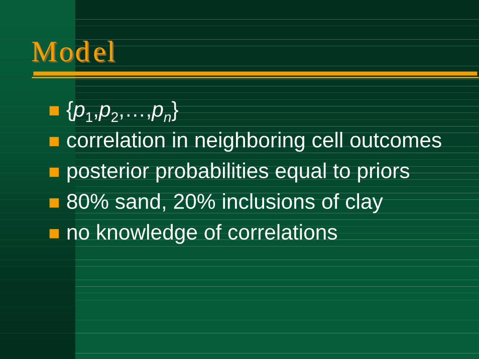
ModelModel
! {p1,p2,…,pn}! correlation in neighboring cell outcomes! posterior probabilities equal to priors! 80% sand, 20% inclusions of clay! no knowledge of correlations
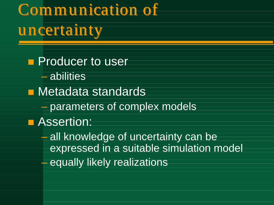
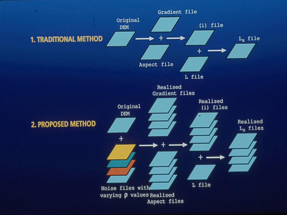
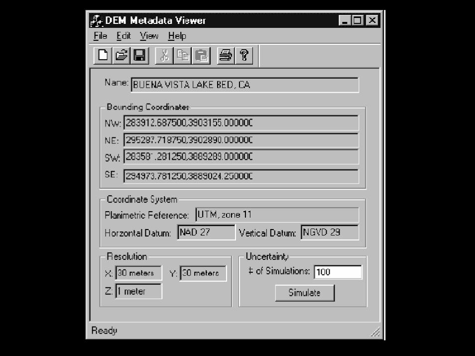
Communication of uncertaintyCommunication of uncertainty
! Producer to user– abilities
! Metadata standards– parameters of complex models
! Assertion:– all knowledge of uncertainty can be
expressed in a suitable simulation model– equally likely realizations
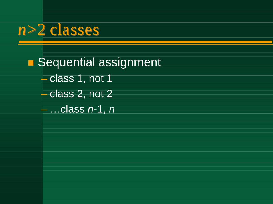
n>2 classesn>2 classes
! Sequential assignment– class 1, not 1– class 2, not 2– …class n-1, n

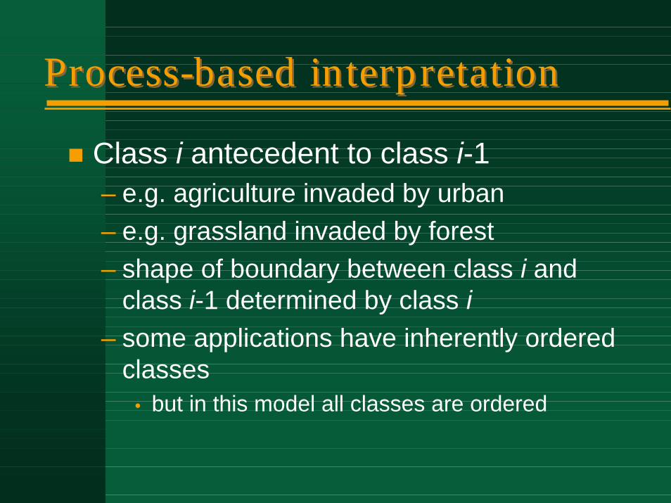
Process-based interpretationProcess-based interpretation
! Class i antecedent to class i-1– e.g. agriculture invaded by urban– e.g. grassland invaded by forest– shape of boundary between class i and
class i-1 determined by class i– some applications have inherently ordered
classes• but in this model all classes are ordered
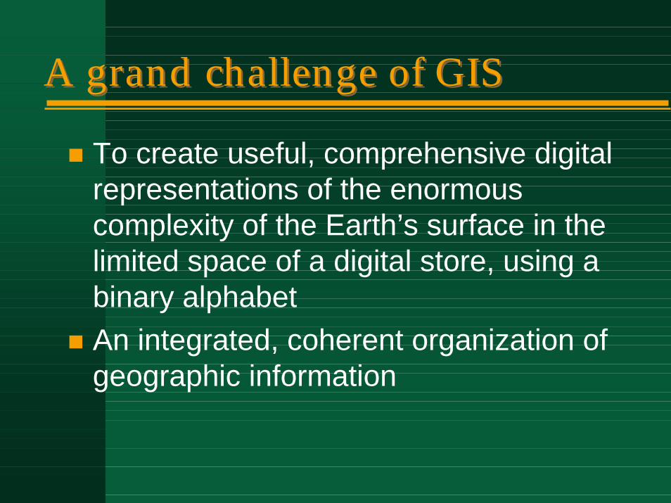
A grand challenge of GISA grand challenge of GIS
! To create useful, comprehensive digital representations of the enormous complexity of the Earth’s surface in the limited space of a digital store, using a binary alphabet
! An integrated, coherent organization of geographic information


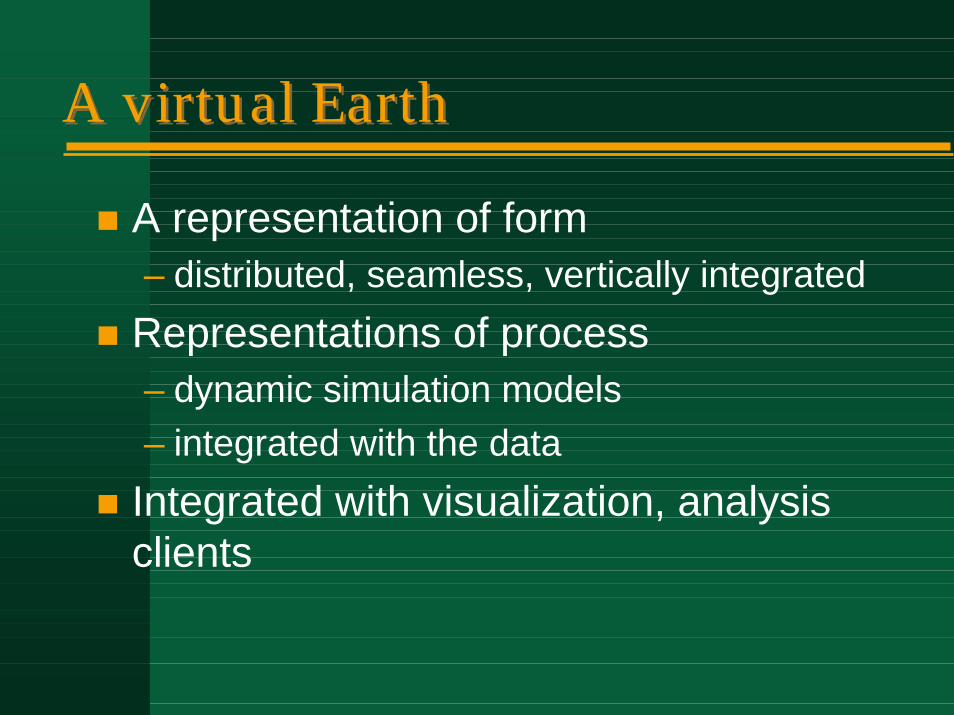
A virtual EarthA virtual Earth
! A representation of form– distributed, seamless, vertically integrated
! Representations of process– dynamic simulation models– integrated with the data
! Integrated with visualization, analysis clients
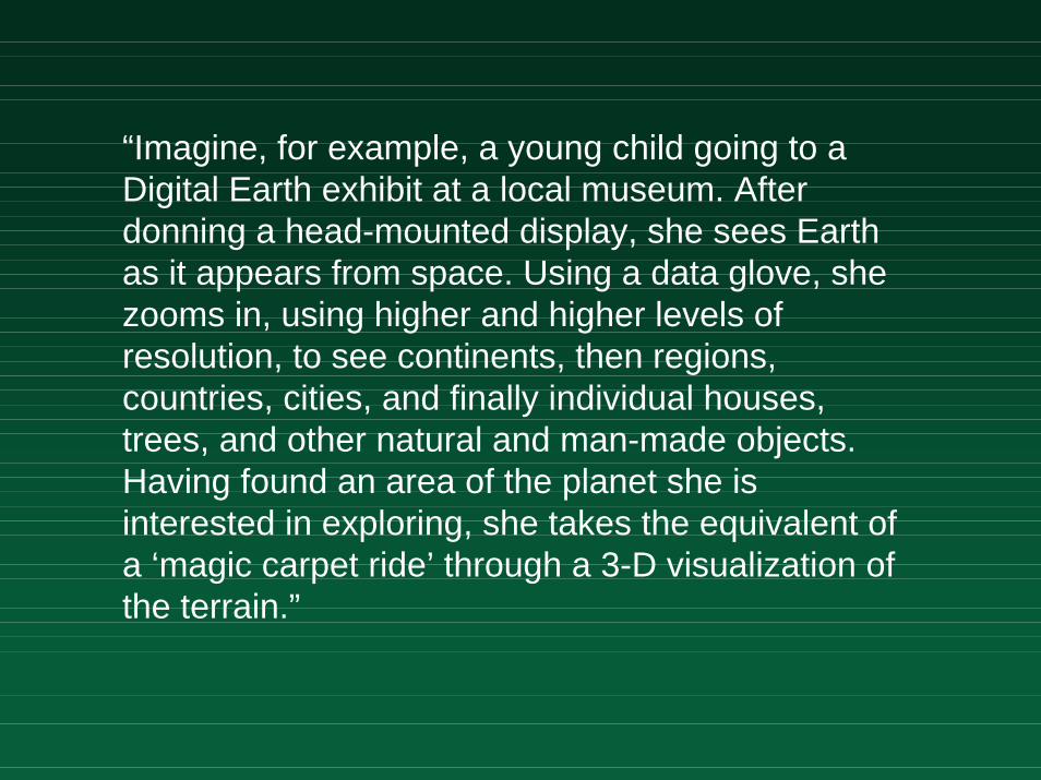
“Imagine, for example, a young child going to a Digital Earth exhibit at a local museum. After donning a head-mounted display, she sees Earth as it appears from space. Using a data glove, she zooms in, using higher and higher levels of resolution, to see continents, then regions, countries, cities, and finally individual houses, trees, and other natural and man-made objects. Having found an area of the planet she is interested in exploring, she takes the equivalent of a ‘magic carpet ride’ through a 3-D visualization of the terrain.”
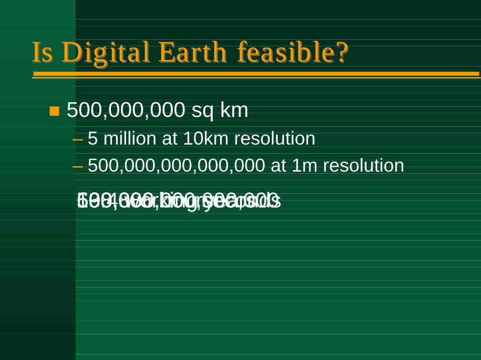
Is Digital Earth feasible?Is Digital Earth feasible?
! 500,000,000 sq km– 5 million at 10km resolution– 500,000,000,000,000 at 1m resolution
500,000,000,000,000500,000,000 seconds138,888 hours69.4 working years
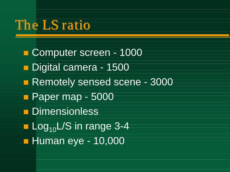
The LS ratioThe LS ratio
! Computer screen - 1000! Digital camera - 1500! Remotely sensed scene - 3000! Paper map - 5000! Dimensionless! Log10L/S in range 3-4 ! Human eye - 10,000
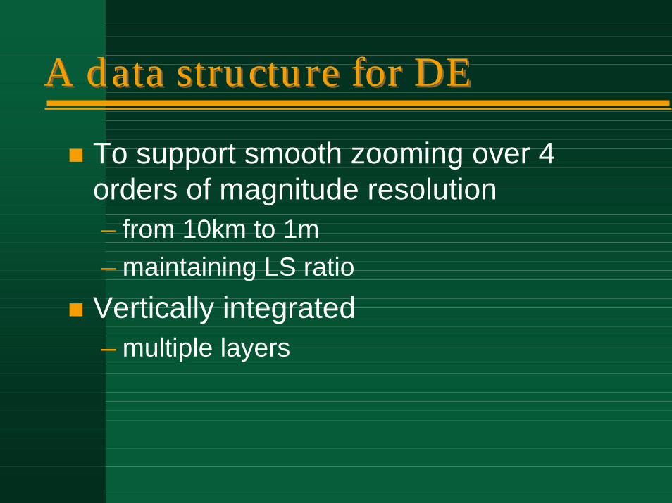
A data structure for DEA data structure for DE
! To support smooth zooming over 4 orders of magnitude resolution– from 10km to 1m– maintaining LS ratio
! Vertically integrated– multiple layers
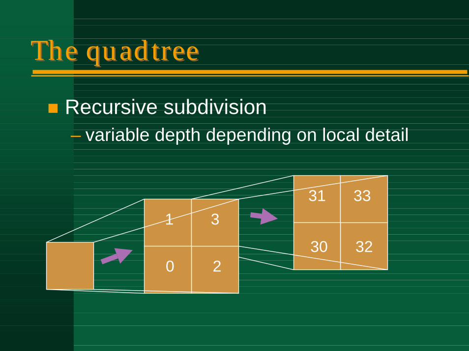
The quadtreeThe quadtree
! Recursive subdivision– variable depth depending on local detail
30
31
32
331
0 2
3
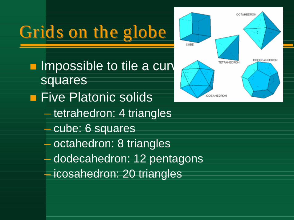
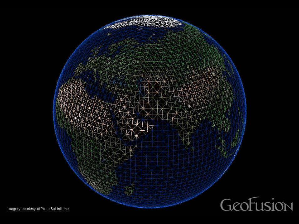
Grids on the globeGrids on the globe
! Impossible to tile a curved surface with squares
! Five Platonic solids– tetrahedron: 4 triangles– cube: 6 squares– octahedron: 8 triangles– dodecahedron: 12 pentagons– icosahedron: 20 triangles
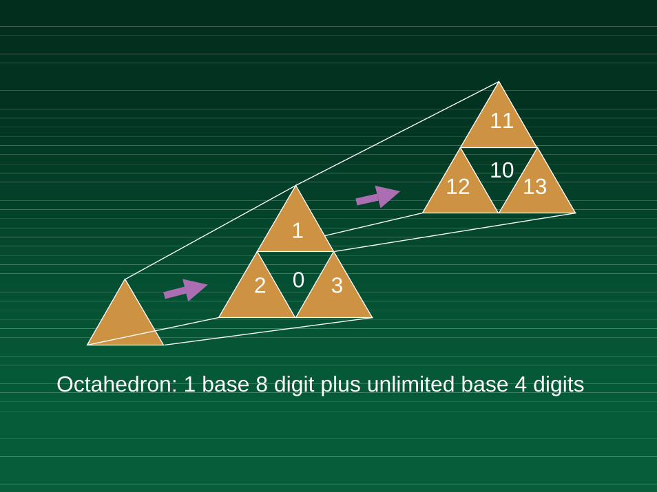
11
12 1310
0
1
2 3
Octahedron: 1 base 8 digit plus unlimited base 4 digits
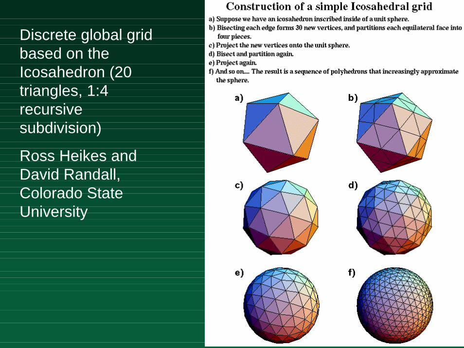
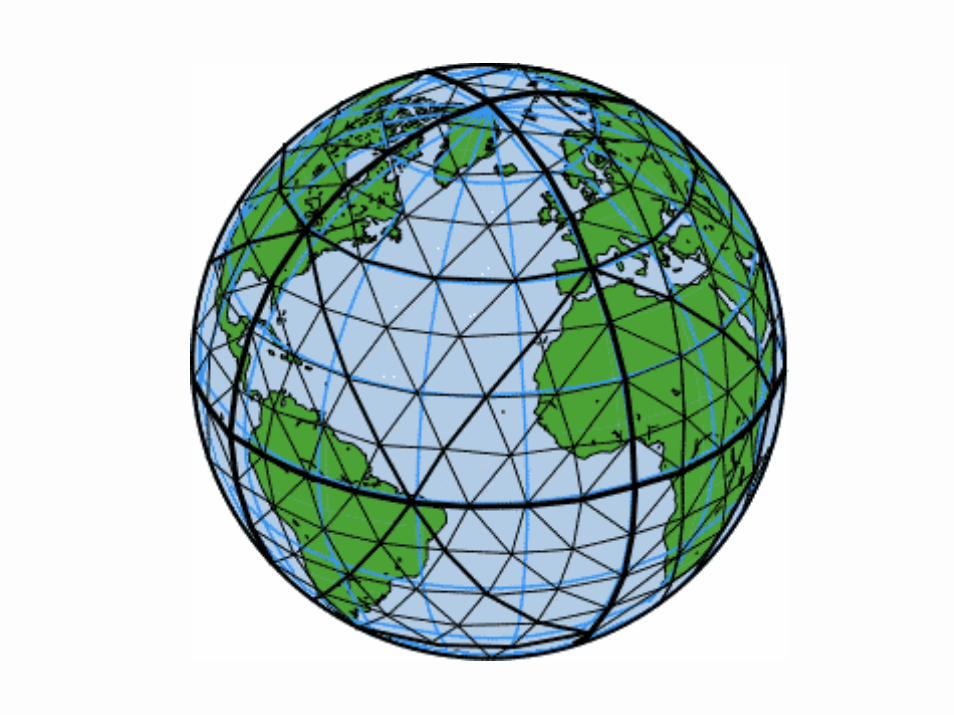
Discrete global grid based on the Icosahedron (20 triangles, 1:4 recursive subdivision)
Ross Heikes and David Randall, Colorado State University
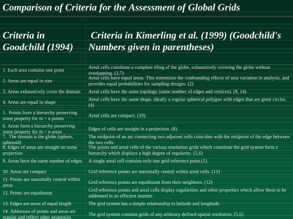
Comparison of Criteria for the Assessment of Global Grids
Criteria in Goodchild (1994)
Criteria in Kimerling et al. (1999) (Goodchild's Numbers given in parentheses)
1. Each area contains one point Areal cells constitute a complete tiling of the globe, exhaustively covering the globe without overlapping. (3,7)
2. Areas are equal in size Areal cells have equal areas. This minimizes the confounding effects of area variation in analysis, and provides equal probabilities for sampling designs. (2)
3. Areas exhaustively cover the domain Areal cells have the same topology (same number of edges and vertices). (9, 14)
4. Areas are equal in shape Areal cells have the same shape. ideally a regular spherical polygon with edges that are great circles. (4)
5. Points form a hierarchy preserving some property for m < n points Areal cells are compact. (10)
6. Areas form a hierarchy preserving some property for m < n areas Edges of cells are straight in a projection. (8)7. The domain is the globe (sphere, spheroid)
The midpoint of an arc connecting two adjacent cells coincides with the midpoint of the edge between the two cells.
8. Edges of areas are straight on some projection
The points and areal cells of the various resolution grids which constitute the grid system form a hierarchy which displays a high degree of regularity. (5,6)
9. Areas have the same number of edges A single areal cell contains only one grid reference point.(1)
10. Areas are compact Grid reference points are maximally central within areal cells. (11)11. Points are maximally central within areas Grid reference points are equidistant from their neighbors. (12)
12. Points are equidistant Grid reference points and areal cells display regularities and other properties which allow them to be addressed in an efficient manner.
13. Edges are areas of equal length The grid system has a simple relationship to latitude and longitude.14. Addresses of points and areas are regular and reflect other properties The grid system contains grids of any arbitrary defined spatial resolution. (5,6)
Concluding messagesConcluding messages
! GIS raises fundamental questions in several disciplines– geography, computer science, cognitive
science! Uncertainty is endemic, must be
addressed explicitly! Integrated digital representations of
Earth are now feasible
Related Documents