Political Forces and Spatial Conflict POLITICAL GEOGRAPHY

Political Forces and Spatial Conflict POLITICAL GEOGRAPHY.
Dec 29, 2015
Welcome message from author
This document is posted to help you gain knowledge. Please leave a comment to let me know what you think about it! Share it to your friends and learn new things together.
Transcript

Political Forces and Spatial Confl ict
POLITICAL GEOGRAPHY
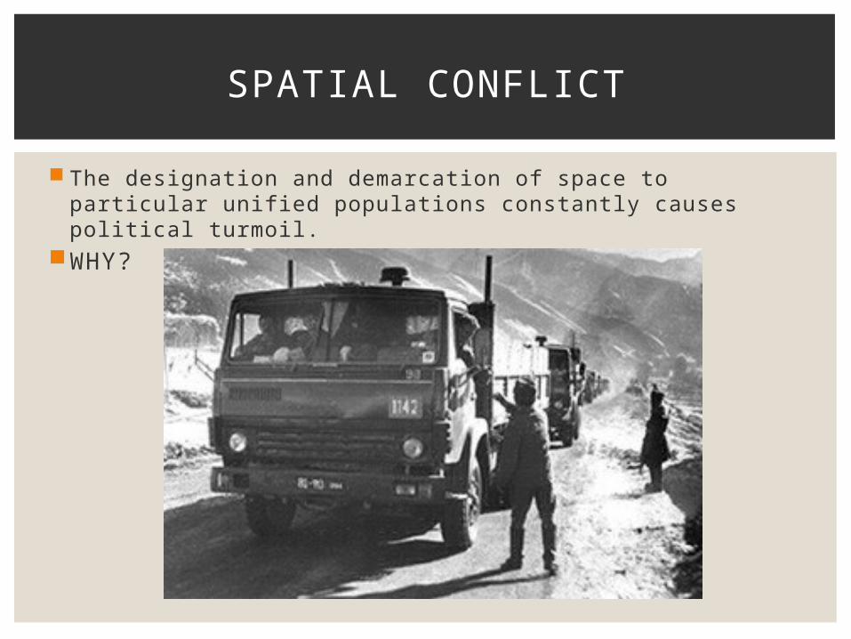
The designation and demarcation of space to particular unified populations constantly causes political turmoil.
WHY?
SPATIAL CONFLICT
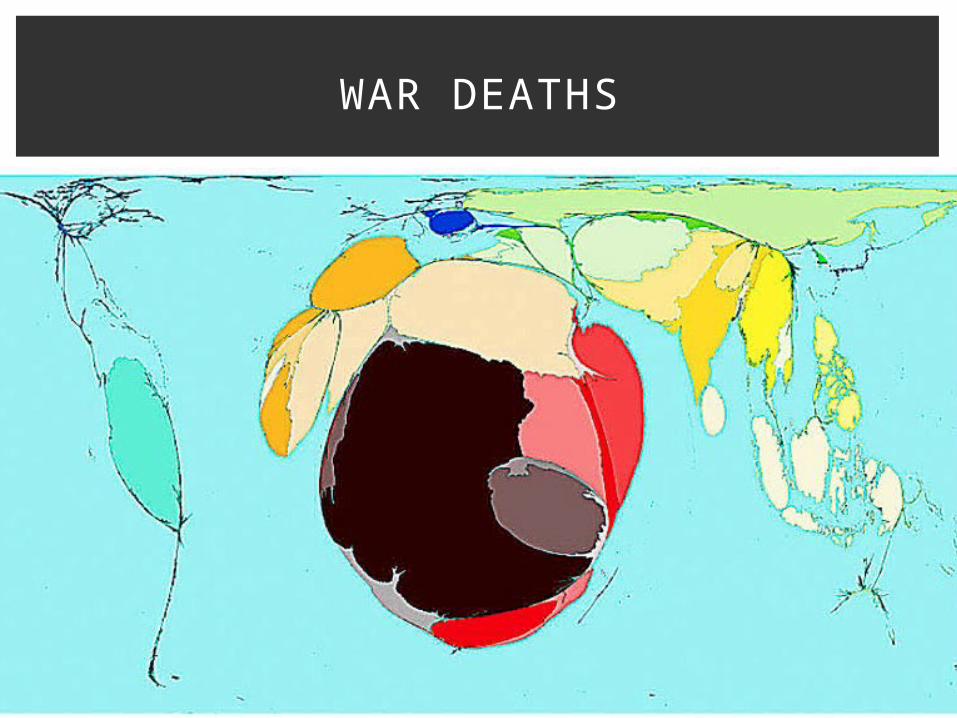
WAR DEATHS
FORCES
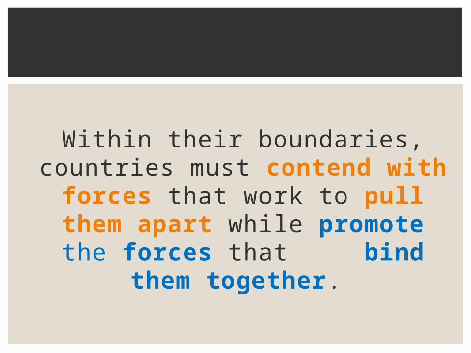
Within their boundaries, countries must contend with forces that work to pull them
apart while promote the forces that bind them
together.
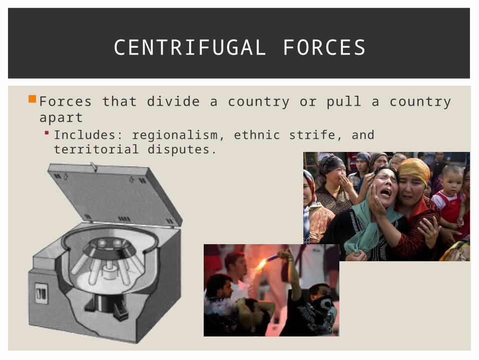
Forces that divide a country or pull a country apart Includes: regionalism, ethnic strife, and territorial disputes.
CENTRIFUGAL FORCES

http://www.iupui.edu/~wellsctr/MMIA/isolating_dna/dna_isolation_rev.swf
UNDERSTAND WHAT A CENTRIFUGE DOES…
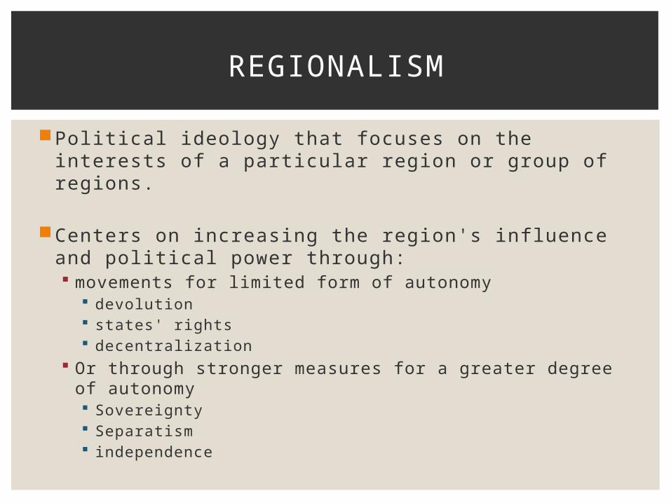
Political ideology that focuses on the interests of a particular region or group of regions.
Centers on increasing the region's influence and political power through: movements for limited form of autonomy
devolution states' rights decentralization
Or through stronger measures for a greater degree of autonomy Sovereignty Separatism independence
REGIONALISM
DISCUSS PROS AND CONS OF REGIONALISM
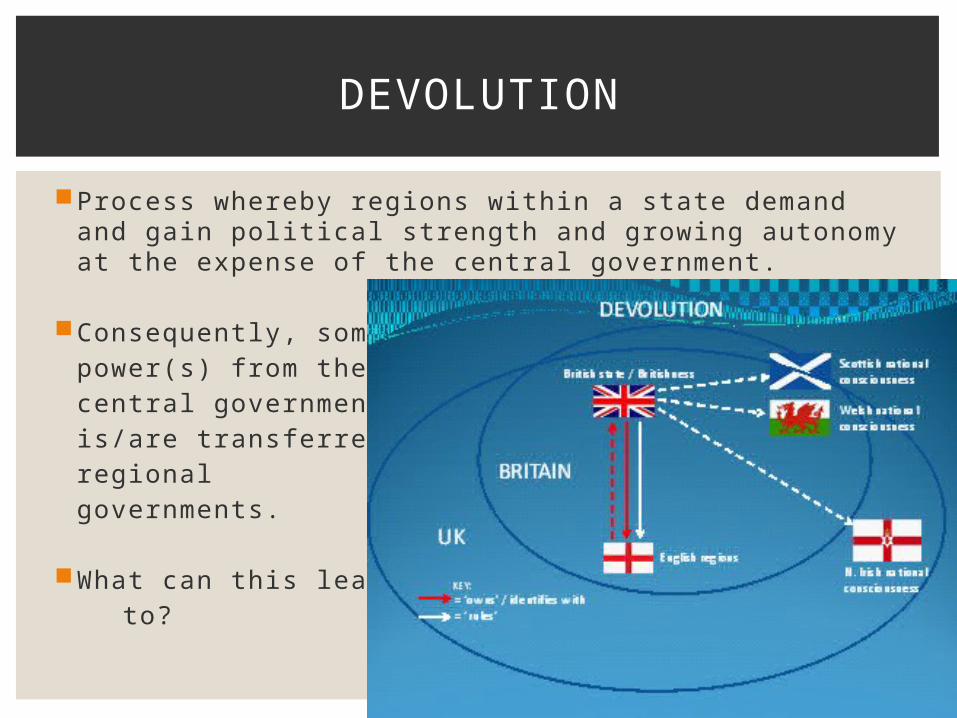
Process whereby regions within a state demand and gain political strength and growing autonomy at the expense of the central government.
Consequently, somepower(s) from the central governmentis/are transferred toregional governments.
What can this lead to?
DEVOLUTION
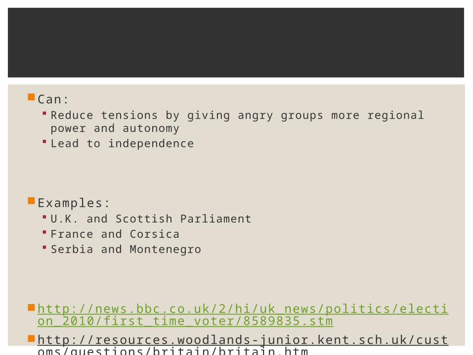
Can: Reduce tensions by giving angry groups more regional
power and autonomy Lead to independence
Examples: U.K. and Scottish Parliament France and Corsica Serbia and Montenegro
http://news.bbc.co.uk/2/hi/uk_news/politics/election_2010/fi rst_time_voter/8589835.stm
http://resources.woodlands-junior.kent.sch.uk/customs/questions/britain/britain.htm
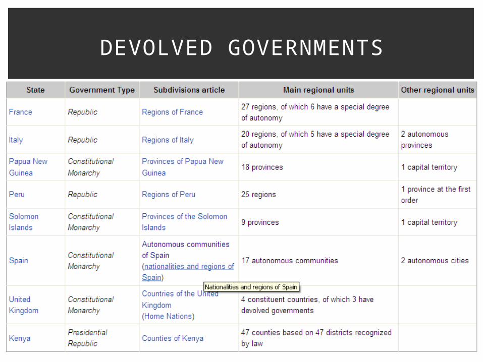
DEVOLVED GOVERNMENTS
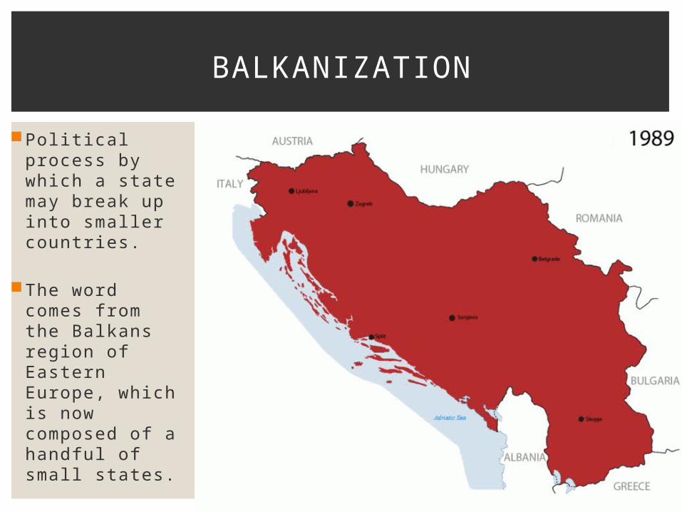
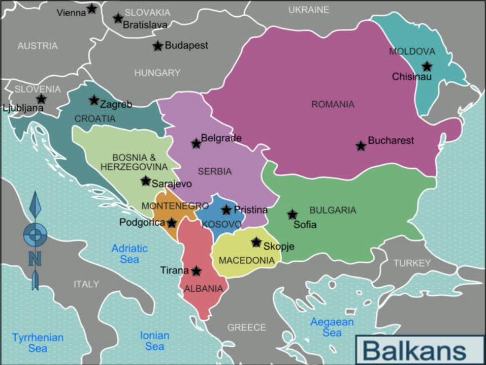
Political process by which a state may break up into smaller countries.
The word comes from the Balkans region of Eastern Europe, which is now composed of a handful of small states.
BALKANIZATION
http://www.bbc.co.uk/programmes/p012vj1s
http://www.bbc.co.uk/history/worldwars/wwone/yugoslavia_01.shtml
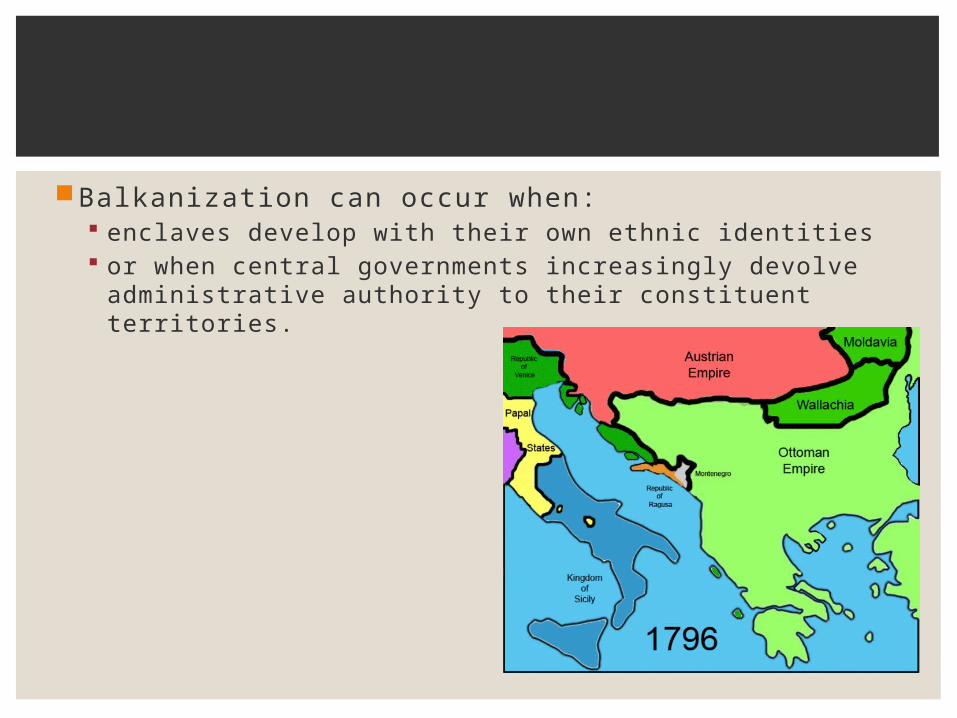
Balkanization can occur when: enclaves develop with their own ethnic identities or when central governments increasingly devolve
administrative authority to their constituent territories.

Forces that bind countries together: strong national institutions a sense of common history reliance on strong central government
CENTRIPETAL FORCES
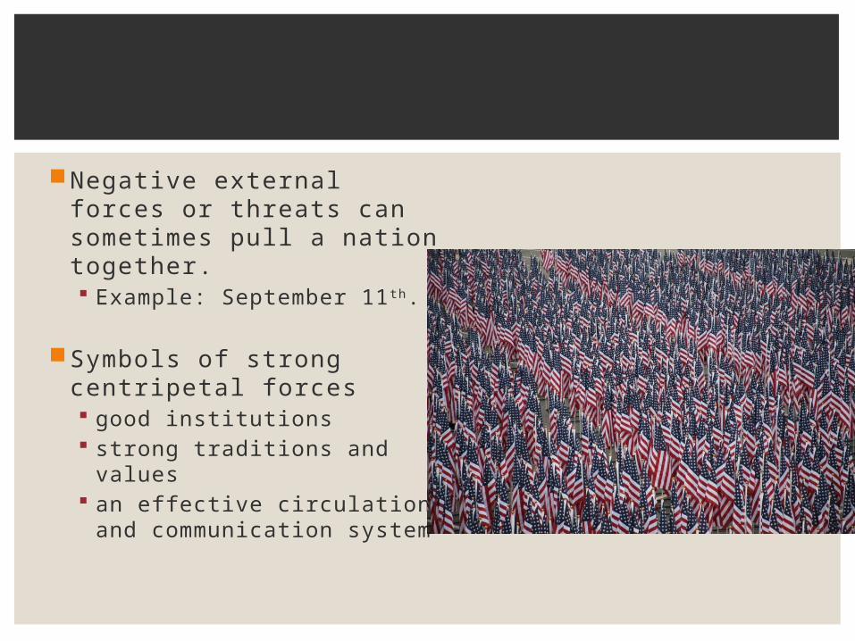
Negative external forces or threats can sometimes pull a nation together. Example: September 11 th.
Symbols of strong centripetal forces good institutions strong traditions and values an effective circulation and
communication system
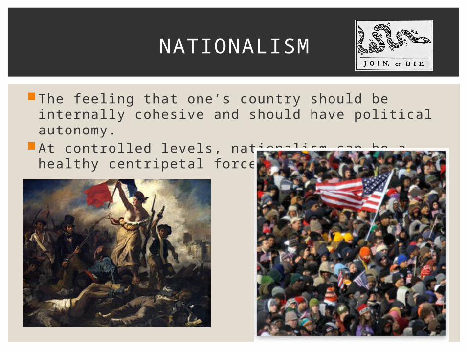
The feeling that one’s country should be internally cohesive and should have political autonomy.
At controlled levels, nationalism can be a healthy centripetal force.
NATIONALISM
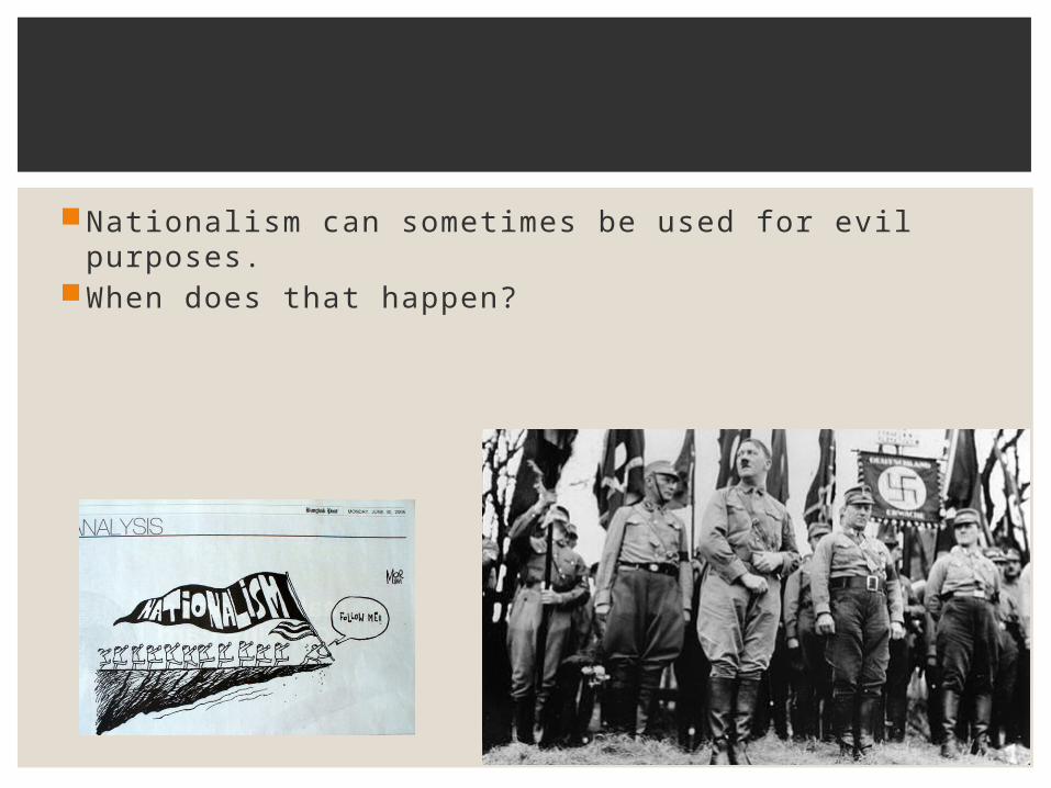
Nationalism can sometimes be used for evil purposes. When does that happen?
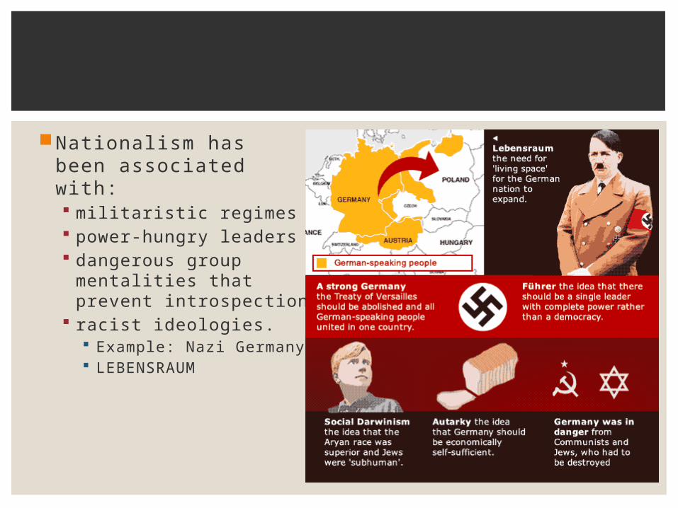
Nationalism has been associated with: militaristic regimes power-hungry leaders dangerous group
mentalities that prevent introspection
racist ideologies. Example: Nazi Germany LEBENSRAUM

The identification and loyalty a person may feel for his or her nation.
ETHNONATIONALISM

A movement to reunite a nation’s homeland when a part of it is spread into another state’s borders.
Can lead to violence.
Examples?http://www.princeton.edu/~achaney/tmve/wiki100k/do
cs/Irredentism.html
IRREDENTISM
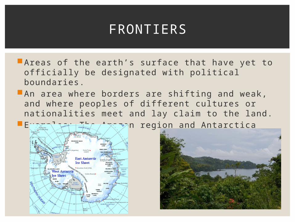
Areas of the earth’s surface that have yet to offi cially be designated with political boundaries.
An area where borders are shifting and weak, and where peoples of diff erent cultures or nationalities meet and lay claim to the land.
Examples: The Amazon region and Antarctica
FRONTIERS
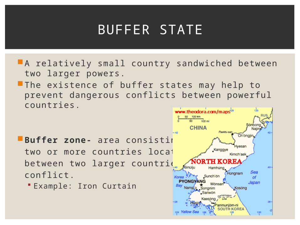
A relatively small country sandwiched between two larger powers.
The existence of buff er states may help to prevent dangerous confl icts between powerful countries.
Buff er zone- area consisting of two or more countries located between two larger countries inconfl ict. Example: Iron Curtain
BUFFER STATE
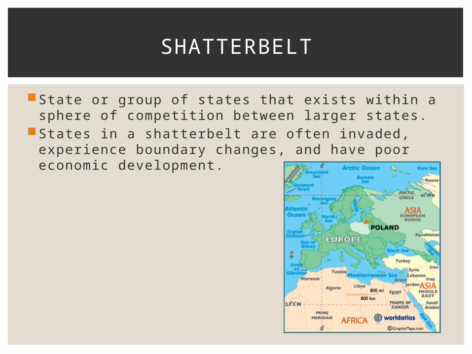
State or group of states that exists within a sphere of competition between larger states.
States in a shatterbelt are often invaded, experience boundary changes, and have poor economic development.
SHATTERBELT

HISTORIC FORCES
The expansion and perpetuation of an empire. Colonial powers: Britain, Spain, Portugal, Frances,
Sweden, Russia, Austria, China, and Japan. In ancient times, Rome, Greece, and the great Aztec
civilization of Mexico were colonial.
Single most important global geopolitical phenomenon of the past 500 years.
COLONIALISM
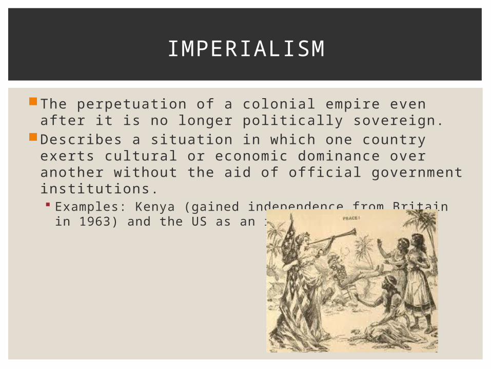
The perpetuation of a colonial empire even after it is no longer politically sovereign.
Describes a situation in which one country exerts cultural or economic dominance over another without the aid of offi cial government institutions. Examples: Kenya (gained independence from Britain in
1963) and the US as an imperial power.
IMPERIALISM
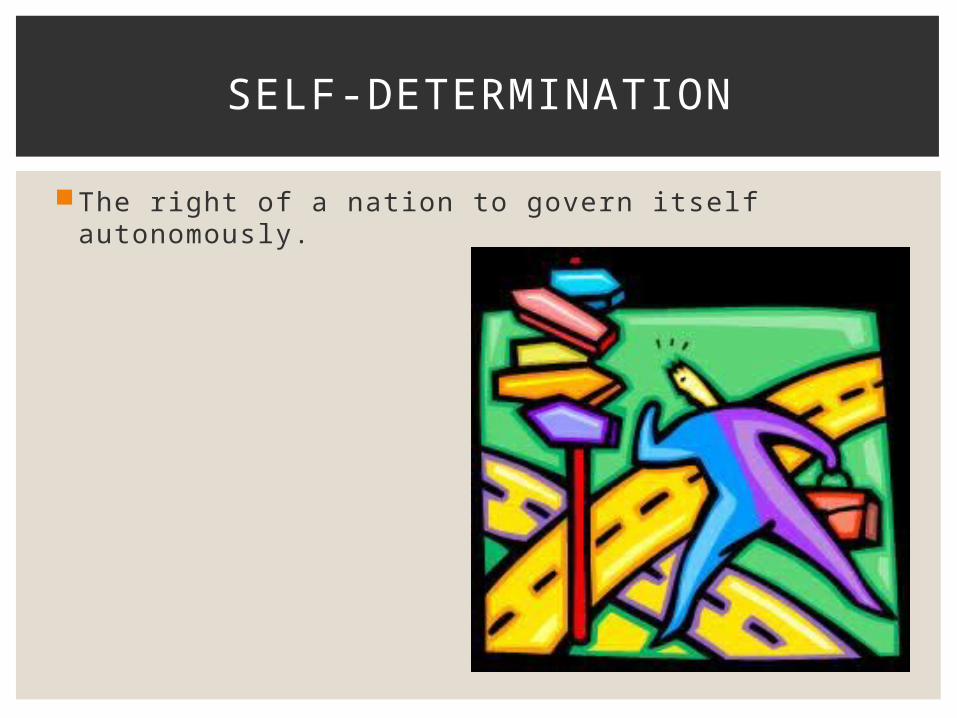
The right of a nation to govern itself autonomously.
SELF-DETERMINATION
Related Documents