Plains, Plateaus and Deserts in Pakistan Made By: Aqsa Manzoor Discipline: Bs(hons) Zoology Semester I Roll No: 2180

Plains, plateaus and deserts in pakistan
Jul 29, 2015
Welcome message from author
This document is posted to help you gain knowledge. Please leave a comment to let me know what you think about it! Share it to your friends and learn new things together.
Transcript

Plains, Plateaus and Deserts in Pakistan
Made By: Aqsa ManzoorDiscipline: Bs(hons) ZoologySemester IRoll No: 2180
Subject: Pakistan Studies
Submitted to: Ma’am Zarmina

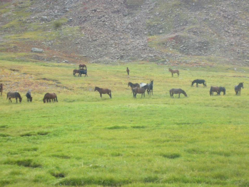
The Indus Plain River Indus is the largest river of our
country. After originating from Lake Mansarowar in Tibet (China), it passes through Himalayas and enters Pakistan near Gilgit. It's main Eastern tributaries are Sutlaj, Bias, Ravi, Chenab and Jehlum.All the plain areas of our country have existed by the sediment bought by River Indus and it’s tributaries.

Plains in Pakistan
Indus Plains In Pakistan:1. The Upper Indus Plain2. The Lower Indus Plain3. The Indus Deltaic Plain

The Upper Indus Plain
It is the region from Attock to Mithankot i.e. most of the areas of Punjab Province. The upper indus plain has a height from 180m to 300m. Five big rivers of Punjab drain this plain and cover it with alluvial soils but some dry hills known as “Kirana hills” appear near Sargodha, Chiniot and Sangla. The general slope of the land is from northeast to southwest. The northeastern part is flood plain and the piedmont area is marked by numerous streams and torrents.


The Lower Indus Plain
This plain includes the area from Mithankot (junction of river indus and it’d eastern tributaries) to Thatta. It is a level alluvial plain and is very fertile but rainfall is scanty so agricultural activities are limited. The northwest areas of the plain are suffering from water logging and salinity.The sindh plain forms the major part of the lower indus plain and the Rohri ridge of limestone is it’s most outstanding feature


The Kachhi-Sibi Plain
The kachhi-Sibi plain is bounded on the north by the Marri-Bugti ranges, and on the west by Kalat ranges. This plain is arid waste, and most of it is barren, and cultivation is not possible without irrigation.
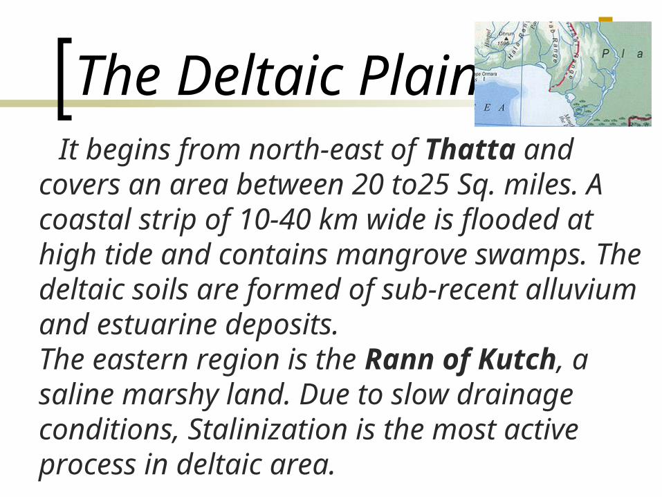
The Deltaic Plain It begins from north-east of Thatta and
covers an area between 20 to25 Sq. miles. A coastal strip of 10-40 km wide is flooded at high tide and contains mangrove swamps. The deltaic soils are formed of sub-recent alluvium and estuarine deposits.The eastern region is the Rann of Kutch, a saline marshy land. Due to slow drainage conditions, Stalinization is the most active process in deltaic area.


Doabs and Bar Uplands
Doabs1. Bari Doab2. Rachna Doab3. Chaj Doab4. Sindh-sagar Doab
Bar Uplands1. Nilli Bar2. Ganji Bar3. Sandal Bar4. Kirana Bar

Plateaus In Pakistan
Plateaus: 1. The Salt Range 2. Potwar Plateau 3. Balochistan Plateau

The Salt Range
The areas of Salt Range begins in the east near Jehlum in the Joggi Tilla and the Bakralla Ridges, and runs southwest to the north of river Jehlum for some distance before turning north-west to cross the Indus near Kalabagh. The average height of the range is about 2000ft.The Khwera Salt Mines are the biggest salt mines in the world and produce the best quality of salt.


Potwar Plateau North of the salt range the area of
Rawalpindi, Jehlum and Mianwali districts are known as Potwar Plateau. It is an area of about 18000sq.kilometers with an elevation of 300-600 meters. This plateau is drained by River soan and has a typical bad-land topography. It is not suitable for agricultural activities but most of our country’s minerals like mineral oil, coal, lime stone etc are found here.


The Balochistan Plateau
This plateau, which lies in the west of the Sulaiman-Kirthar mountains is covered with dry hills which run from northeast to southwest. The Toba Kakar and Chaghai Ranges in north separate it from Afghanistan. River Zhob and Gomal flow through it.This area is rich in coal, iron and chromite deposits but is not suitable for cultivation due to scarcity of water and uneven topography.


Deserts In Pakistan
Deserts:1. Thal Desert2. Cholistan Desert
3. Nara and Tharparker Deserts
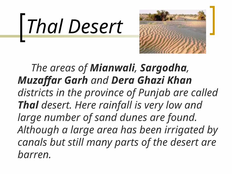
Thal Desert
The areas of Mianwali, Sargodha, Muzaffar Garh and Dera Ghazi Khan districts in the province of Punjab are called Thal desert. Here rainfall is very low and large number of sand dunes are found. Although a large area has been irrigated by canals but still many parts of the desert are barren.
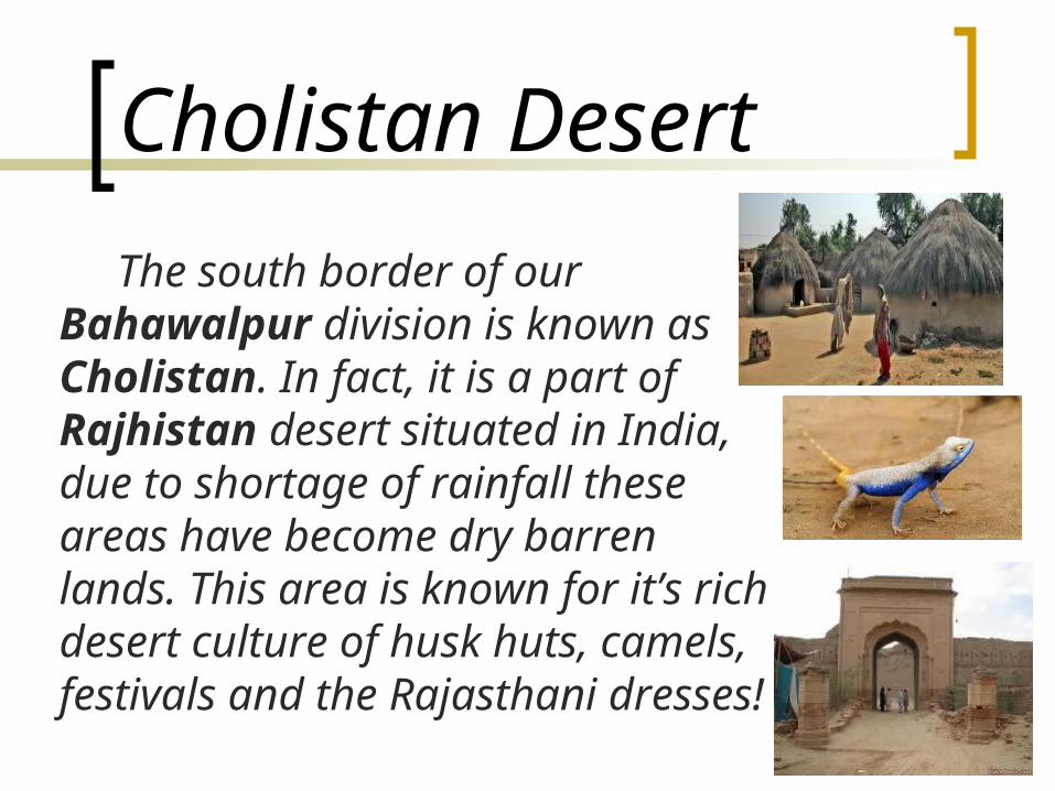
Cholistan Desert
The south border of our Bahawalpur division is known as Cholistan. In fact, it is a part of Rajhistan desert situated in India, due to shortage of rainfall these areas have become dry barren lands. This area is known for it’s rich desert culture of husk huts, camels, festivals and the Rajasthani dresses!

Nara And Thar Deserts
The southern border areas of Khairpur districts in Sindh is known as Nara desert and border areas of Mirpur Khas and Sanghar districts are called Thar deserts. These are the driest parts of our country. Here rainfall is lowest except for the barren land with huge sand dunes and some scattered, stunted, thorny bushes, nothing can be seen.

Related Documents