Need Better Imagery For Supporting Pipeline Projects?

Pictometry Authoritative Grade Imagery for Pipeline Projects
Jul 27, 2015
Welcome message from author
This document is posted to help you gain knowledge. Please leave a comment to let me know what you think about it! Share it to your friends and learn new things together.
Transcript
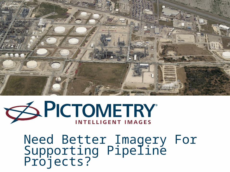
Need Better Imagery For Supporting Pipeline Projects?
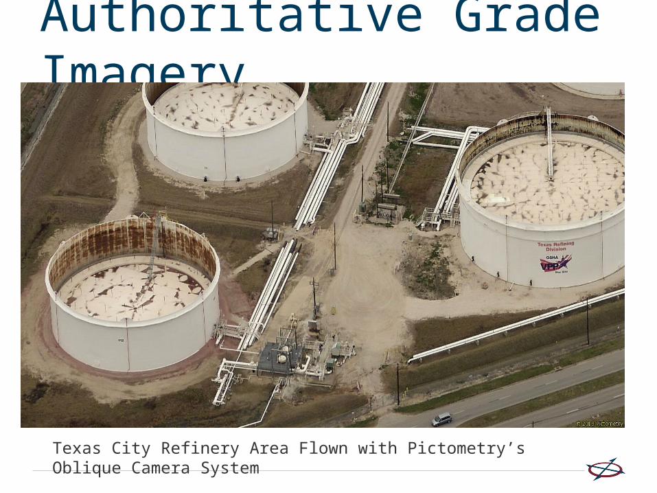
Authoritative Grade Imagery
Texas City Refinery Area Flown with Pictometry’s Oblique Camera System

Authoritative Grade Imagery
Baytown Refinery Area Flown with Pictometry’s Oblique Camera System

Authoritative Grade Imagery
Golden Pass LNG Plane Area Flown with Pictometry’s Oblique Camera System

Pictometry Imagery Solutions• Imagery Resolution from 1 inch to 9 inch• The Oblique View Collection and Orthophotos• Imaged over 90 percent of the US population• Largest Aerial Solutions Company in the World• HCA Data Creation and Delivery• LiDAR Capabilities • Fleet of Aircraft Spread Regionally • Not Just an Aerial Collector• Data Access through ArcGIS Plugin, Ipad Apps,
Widgets, Pictometry Online Etc.

Measure AnythingEach image pixel has an X, Y and Z value. You can measure right on the image for:
Distance
Area
Height
Elevation/Slope
Latitude/Longitude
Bearing
Angle
Height954.72 Ft
SouthSouth
Distance424.47 Ft
Area186,235.55 Sq Ft

Onsite Demo or WebinarContact:Trent Casi- PictometryInfrastructure Solutions Manager-Oil/[email protected]
Related Documents