PDA-GPS integration PDA-GPS integration for improving response for improving response efficiency efficiency Ken Hudnut and Keith Stark USGS-SCIGN The EOC in the 21 st Centu California Institute of Technolo June 26, 20

Welcome message from author
This document is posted to help you gain knowledge. Please leave a comment to let me know what you think about it! Share it to your friends and learn new things together.
Transcript
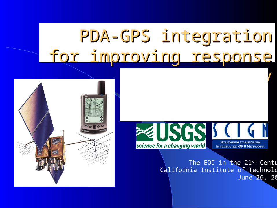
PDA-GPS integration for PDA-GPS integration for improving response efficiencyimproving response efficiency
Ken Hudnut and Keith Stark
USGS-SCIGN
The EOC in the 21st CenturyCalifornia Institute of Technology
June 26, 2001
acronymsacronyms PDA – Personal Digital (data) Assistant
– In this case, not Preliminary Damage Assessment GPS – Global Positioning System SCIGN – Southern California Integrated
GPS Network ATC – Applied Technology Council SEAOC – Structural Engineers Assoc. of Calif. OES – Office of Emergency Services
Any use of trade, product, orfirm names is for descriptivepurposes only and does notimply endorsement by the
U. S. Government

Northridge earthquakeNorthridge earthquake Used precise GPS to
assess damage to infrastructure– Freeway overpasses– Dams– Buildings
Measured tilts and strains on lifeline infrastructure– Aqueducts– Pipelines– Transmission lines
How was GPS used then, and how can it be used in the future?
from report by USGS, Caltrans & NGS to FEMA
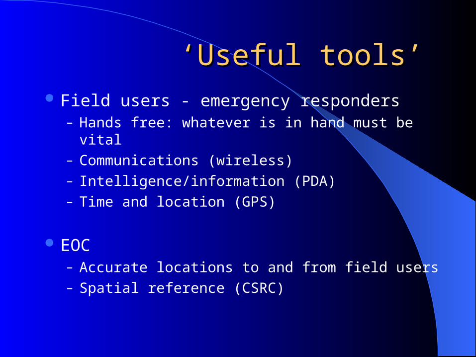
‘‘Useful tools’Useful tools’ Field users - emergency responders
– Hands free: whatever is in hand must be vital– Communications (wireless)– Intelligence/information (PDA)– Time and location (GPS)
EOC– Accurate locations to and from field users– Spatial reference (CSRC)

Integrating components of a systemIntegrating components of a system
PDA – handles the map base & location tracking in the field
GPS – provides location (good to 6 meters - or even to a few centimeters - in real-time)
Wireless – telecommunications to and from the field person and/or their vehicle
GIS – mapping system back at the EOC
putting this all together can improve response efficiency

GPS – Global Positioning SystemGPS – Global Positioning System GPS is a U.S.-built constellation of
navigation satellites (SoCal – LAAFB) Normally it is used for ‘coarse’ positioning
– Handheld GPS units (~$100-$500) C/A code only 6 meter precision (with SA turned off)
We ‘earthquake people’ do precise GPS– Top-notch GPS receivers ($11,000)
P-code and phase on both L1 & L2 Differential phase - several millimeter
precision (1000x better!) Wide range of uses for GPS data provided
by SCIGN; land surveying, GIS mapping Precise GPS for emergency
responders in the future; search & rescue? Do you have applications?

‘‘normal’ vs. ‘precise’ GPSnormal’ vs. ‘precise’ GPS
5/2/2000ended SA
normal GPSimproved byabout 10x
Note: the Plugger2 military 1-2 m
“cheap”useful tool
location, location, location…

GPS & PDA integrationGPS & PDA integration Many manufacturers for
‘handheld’ GPS units – can be cabled to all types of PDA’s– Standard messaging format
to get GPS location read into PDA
Some GPS units (for $110) now clip onto PDA – handy for field use
Either GPS stand-alone, or with PDA, provide basic mapping and location, etc.
Wide range of applications…

Building safety assessmentBuilding safety assessment
OES volunteer program ATC-20 training & certification Data collection and mapping
– Field assessments– Transmittal of field data to EOC– Assimilation of information
Better-informed decisions More efficient deployment of resources
When an earthquake occurs, a well defined approachnow exists for the rapid inspection of structural damage

Description Location Evaluation Tag posting action
– Red– Yellow– Green
Notes
http://www.atcouncil.org/

Northridge building safety and Northridge building safety and damage assessment mapdamage assessment map
Building damage reported and mapped in detail:
– OES GIS lab for FEMA ‘DR-1008’
– Damage is used to define intensity of shaking
– Tagging can be used to estimate shaking intensity
Valuable data for many purposes
Can gather, assimilate, and distribute this information faster and better today than we could in 1994

Future applicationsFuture applications ATC-20 PDA & GPS using
wireless and web-based collection and distribution
– Form on PDA w/ GPS– Wireless link to GIS at EOC– GIS map out to field users
Field data acquisition and rapid assimilation
– GPS & PDA for fire perimeter mapping; e.g. tracking the Viejas wildfire progression
Rapid imagery: airborne and satellite
– air photos (digital)– laser swath mapping (topo)– imaging spectro-radiometers
(thermal) Combination of remote and
direct observations to facilitate informed emergency response decisions

Assess damage to infrastructureAssess damage to infrastructure
Were tilts or strains large enough to damage systems? (from regional measurements)
Did damage occur to critical structures or systems? (from site-specific monitoring)
– Pacoima dam GPS monitoring since Sept. 1995 with LA County
GPS data can indicate damage to engineered structures such as overpasses and tall buildings

Precise GPS locationPrecise GPS location
Search and rescue operations:– Rubble and confusion– Loss of landmarks and features
or references– Where are the victims likely to
be trapped?– Need for precise positioning to
target search and rescue
Other needs for precise, real-time GPS for emergency response?
http://www.search-and-rescue-dog.com/
If the earth trembles.....
If humans are buried in the rubble......
Then there is no time to lose
Because only 100 hours remain to saveany buried ones still living
But where to search exactly?
Only if the rescue teams know where theburied victims are, they can digexactly there to rescue them
Each search without reference point costsvaluable time
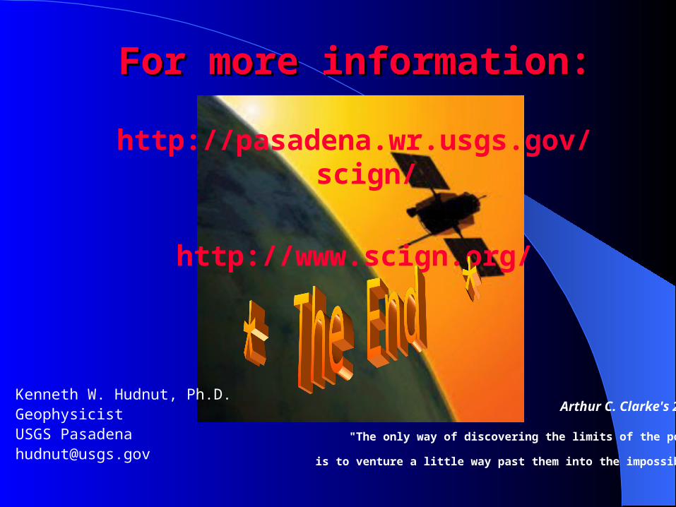
For more information:For more information:
http://pasadena.wr.usgs.gov/scign/
http://www.scign.org/
Kenneth W. Hudnut, Ph.D.GeophysicistUSGS [email protected]
Arthur C. Clarke's 2nd Law:
"The only way of discovering the limits of the possible
is to venture a little way past them into the impossible."
Related Documents


