OPENSTREET MAP Jeff Haack – Humanitarian OpenStreetMap Team DIGITIZING COMMUNITY VOICE

Welcome message from author
This document is posted to help you gain knowledge. Please leave a comment to let me know what you think about it! Share it to your friends and learn new things together.
Transcript
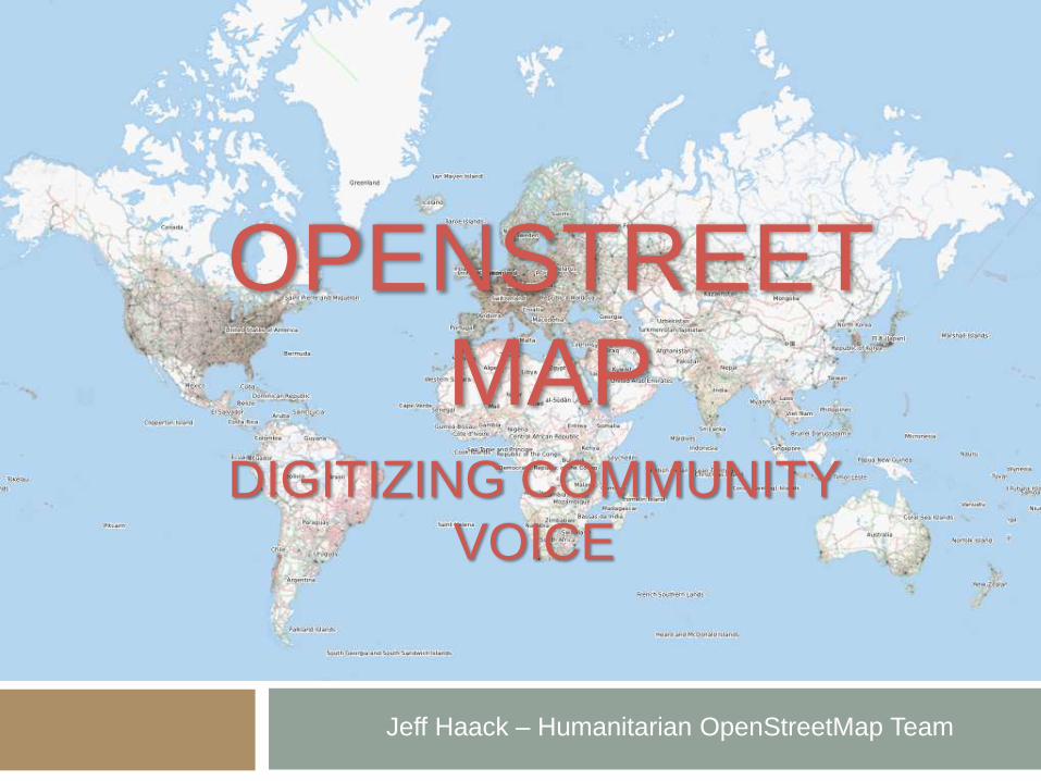
OPENSTREET
MAP
Jeff Haack – Humanitarian OpenStreetMap Team
DIGITIZING COMMUNITY
VOICE
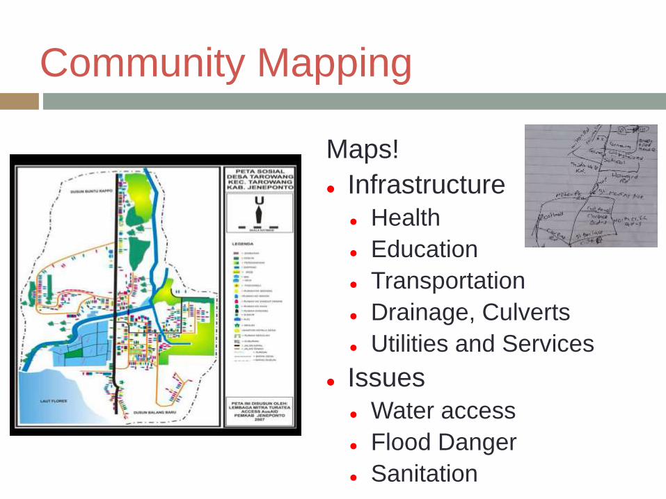
Community Mapping
Maps!
Infrastructure
Health
Education
Transportation
Drainage, Culverts
Utilities and Services
Issues
Water access
Flood Danger
Sanitation

Community Mapping
Mapping Drainage
Mapping Water
Sources

Community Mapping

Ramani Tandale
http://explore.ramanitanzania.org/
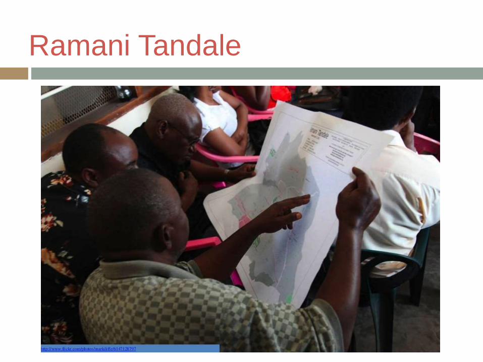
Ramani Tandale
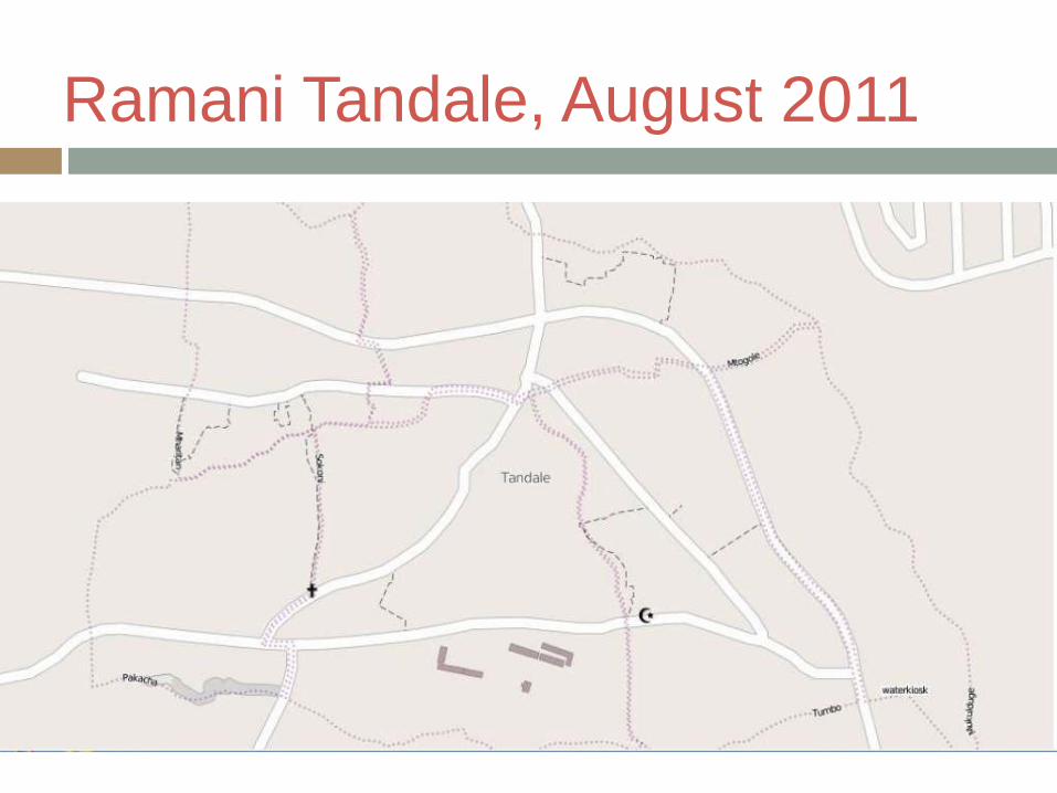
Ramani Tandale, August 2011

Ramani Tandale, after mapping

Mapping Dar es Salaam
During the next year…
Map 15 wards in Dar es Salaam
Train up to 150 university students
Mapping
Engaging with local communities
Mapping Meetups
Convergence of individuals, institutions, and government
Trainings, sensitizations, community growth
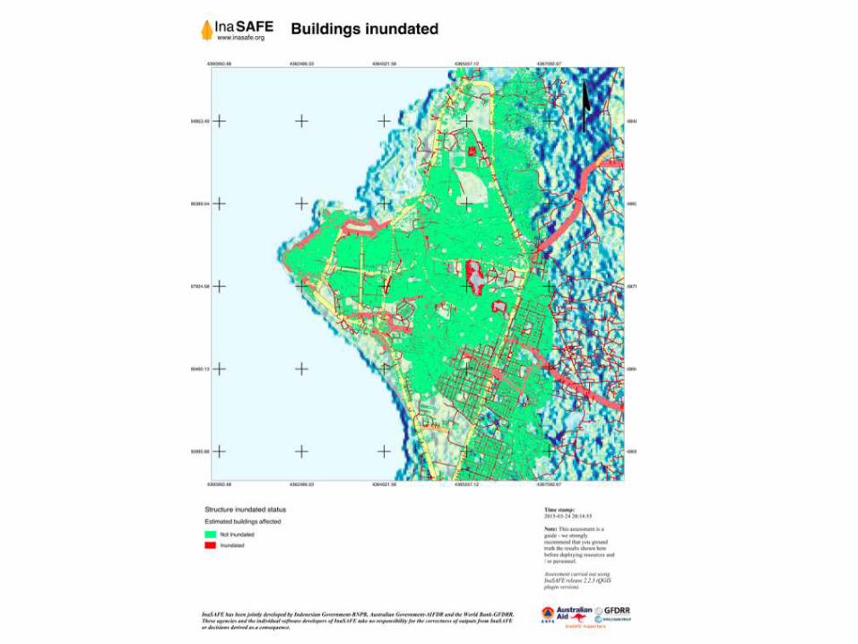
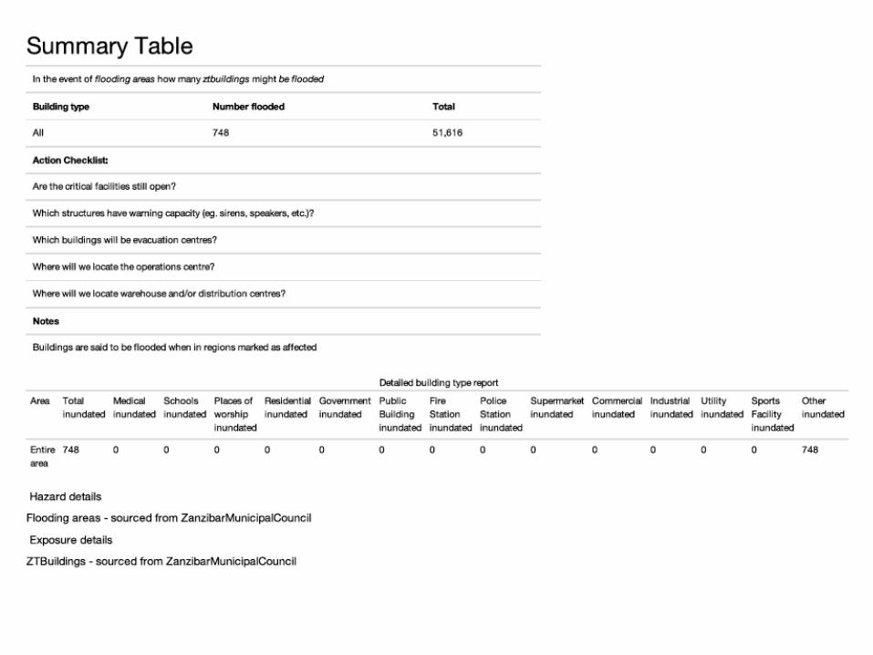
Flood Preparedness
InaSAFE
Open-source software built to analyze the risks
posed by natural disasters, such as floods
Combines:
Hazard data (maps of flood zones) with
Exposure data (maps of infrastructure, homes,
population)
To output:
At-risk populations and infrastructure
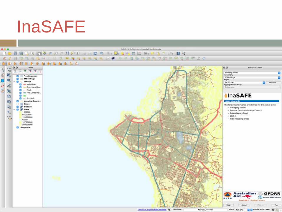
InaSAFE
Related Documents