OpenStreetMap y su componente humanitaria y su componente humanitaria Emilio Gómez Fernández Jesús Gómez Fernández @egofer @je_gomez

Welcome message from author
This document is posted to help you gain knowledge. Please leave a comment to let me know what you think about it! Share it to your friends and learn new things together.
Transcript

OpenStreetMapy su componente humanitariay su componente humanitaria
Emilio Gómez Fernández Jesús Gómez Fernández@egofer
@je_gomez

➔ Es un proyecto para crear la mejor base de datos geográfica a nivel mundial Información Geográfica Voluntaria→
➔ Un enorme ecosistema de productos y servicios.
➔ OpenStreetMap Fundation
➔ http://openstreetmap.org
¿QUÉ ES OPENSTREETMAP?¿QUÉ ES OPENSTREETMAP?
https://hotosm.org/updates/2014-07-09_join_hot_in_berlin_at_okfestivalhttp://wiki.openstreetmap.org/wiki/State_Of_The_Map http://wiki.openstreetmap.org/wiki/Missing_Maps_Party_October_2014

➔ Recoge cualquier cosa geográficamente relevante.
➔ Usuarios registrados: 2,7 millones
➔ Contribuidores activos (>=1 edición/mes): 30.000
➔ Elementos geográficos: 3.500 millones
➔ Planet.osm (mayo 2016): 670 GB (50 GB comprimidos)
DETRÁS DE OPENSTREETMAPDETRÁS DE OPENSTREETMAP
“OSM 2011: A Year of Edits” by ito World
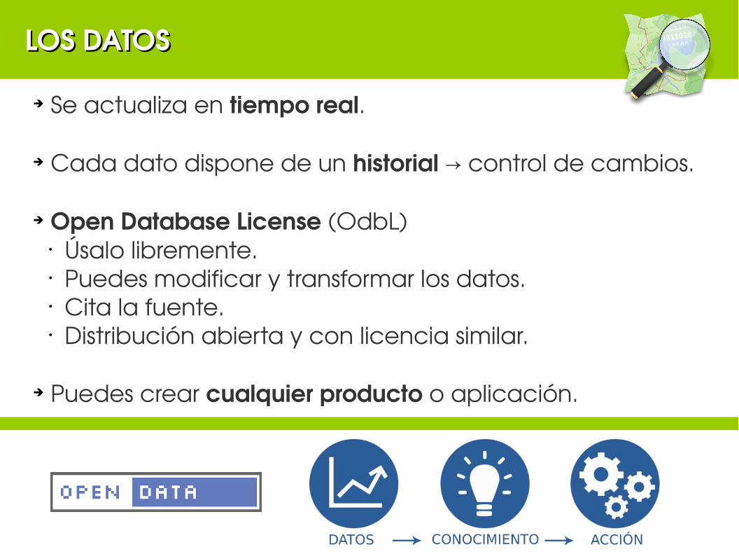
➔ Se actualiza en tiempo real.
➔ Cada dato dispone de un historial control de cambios.→
➔ Open Database License (OdbL)• Úsalo libremente.• Puedes modificar y transformar los datos.• Cita la fuente.• Distribución abierta y con licencia similar.
➔ Puedes crear cualquier producto o aplicación.
LOS DATOSLOS DATOS

NO ES UN MAPA. SON MUCHOS MAPASNO ES UN MAPA. SON MUCHOS MAPAS
No es un mapa.
Es una base de datos espacial.

NO ES UN MAPA. SON MUCHOS MAPASNO ES UN MAPA. SON MUCHOS MAPAS
TransporteTransporte
SantanderGo.comSantanderGo.com

NO ES UN MAPA. SON MUCHOS MAPASNO ES UN MAPA. SON MUCHOS MAPAS
XplaneXplane
OpenRouteService.orgOpenRouteService.org

NO ES UN MAPA. SON MUCHOS MAPASNO ES UN MAPA. SON MUCHOS MAPAS
F4map.comF4map.com
HOTHOT

Nodos.Nodos. Son elementos puntuales.
VíasVías.. Conexiones lineales entre nodos.
Vías cerradasVías cerradas.. Líneas que empiezan y acaban en el mismo nodo. Pueden definir (o no) un polígono.
Relaciones.Relaciones. Cómo unos objetos se relacionan con otros para configurar grupos o geometría complejas.
MODELO DE DATOS. COMPONENTE ESPACIALMODELO DE DATOS. COMPONENTE ESPACIAL

Node Way Relation Tag
MODELO DE DATOS. COMPONENTE TEMÁTICAMODELO DE DATOS. COMPONENTE TEMÁTICA

MODELO DE DATOS EN OSMMODELO DE DATOS EN OSM
Twitter: Mapeado Colaborativo (@MapColabora)

Clave Valor
name Ramal de acceso a puerto pesquero
railway narrow_gauge
Clave Valor
highway footway
MODELO DE DATOS EN OSMMODELO DE DATOS EN OSM
Clave Valor
name Parque de La Marga
leisure park
Clave Valor
name Avenida de Parayas
highway motorway
maxspeed 50
ref S-10
lanes 2
oneway yes
tunnel yes
wikidata Q2872991


Twitter: Daniel Orellana (@temporalista)

Voluntarios cartografían sobre imágenes de satélite de manera remota.
Voluntarios locales añaden detalles: nombres de calles, vecindarios, centros hospitalarios, etc.
Organizaciones humanitarias usan la información en planes de contingencia de desastres y reducción de riesgos.
1 2 3
https://hotosm.org American Red Croshttps://osm.org

Kibera, Kenia (2010)
Kathmandu, Nepal (2015)
Haití (2010)
Palestina (2009)
Sierra Leona,Guinea y Liberia (2014)
Filipinas (2013)
International Organization on Migration (IOM)http://osm.org
http://osm.org
http://mapkibera.org
http://brainoff.com
http://brianaltonenmph.com

Cómo comenzó todo: el terromoto de HaitíCómo comenzó todo: el terromoto de Haití➔ Red de vías➔ Edificios derruidos➔ Infraestructuras dañadas: Obstáculos en calles y carreteras➔ Hospitales➔ Campamentos espontáneos de supervivientes➔ Deslizamientos de laderas➔ Etc.
Related Documents