Multidimension al Story Telling

Multidimensional Story Telling. Meograph Create multimedia stories rayvon-martin-case .
Dec 13, 2015
Welcome message from author
This document is posted to help you gain knowledge. Please leave a comment to let me know what you think about it! Share it to your friends and learn new things together.
Transcript
Multidimensional Story Telling
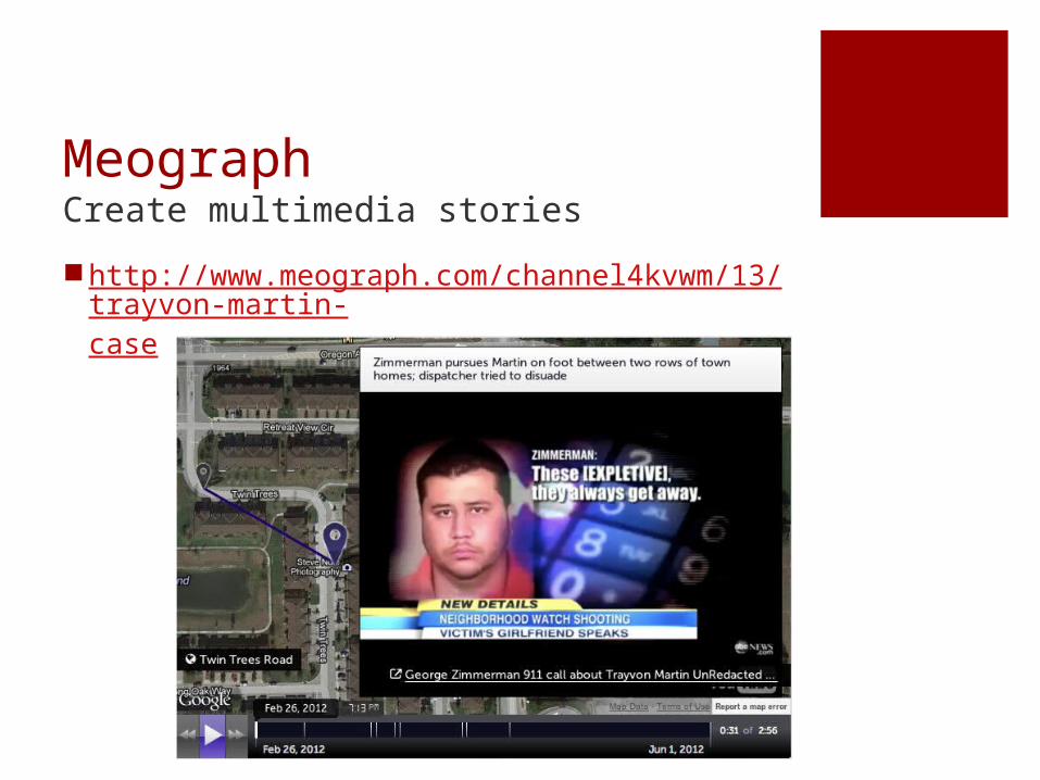
MeographCreate multimedia stories
http://www.meograph.com/channel4kvwm/13/trayvon-martin-case

Visual.lyCreate free infographics and data visualizations.
http://visual.ly/crime-unpunishment-why-journalists-fear-their-safety
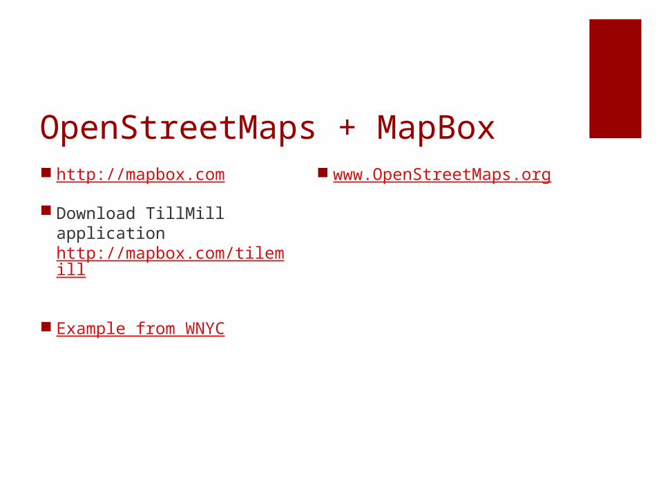
OpenStreetMaps + MapBox http://mapbox.com
Download TillMill applicationhttp://mapbox.com/tilemill
Example from WNYC
www.OpenStreetMaps.org
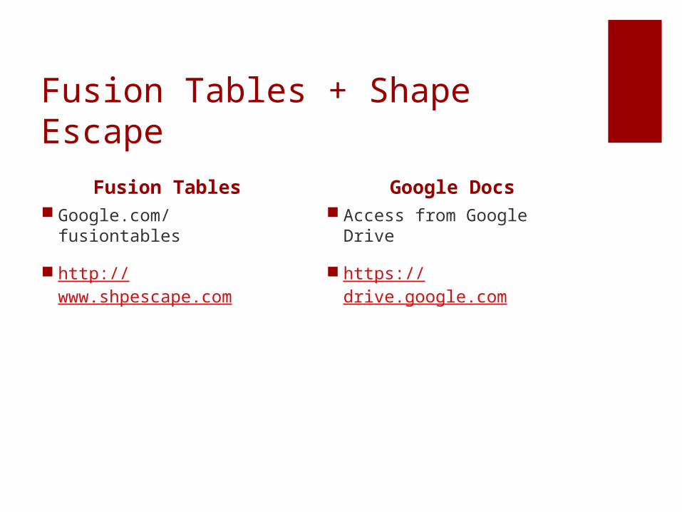
Fusion Tables + Shape Escape
Fusion Tables Google.com/fusiontables
http://www.shpescape.com
Google Docs Access from Google Drive
https://drive.google.com
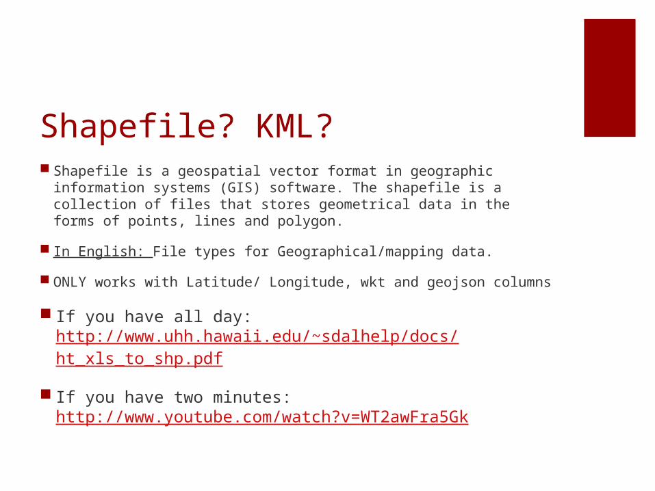
Shapefile? KML? Shapefile is a geospatial vector format in geographic information
systems (GIS) software. The shapefile is a collection of files that stores geometrical data in the forms of points, lines and polygon.
In English: File types for Geographical/mapping data.
ONLY works with Latitude/ Longitude, wkt and geojson columns
If you have all day: http://www.uhh.hawaii.edu/~sdalhelp/docs/ht_xls_to_shp.pdf
If you have two minutes: http://www.youtube.com/watch?v=WT2awFra5Gk
Related Documents