Landform Geography Coastal Processes and Landforms

Landform Geography Coastal Processes and Landforms.
Dec 18, 2015
Welcome message from author
This document is posted to help you gain knowledge. Please leave a comment to let me know what you think about it! Share it to your friends and learn new things together.
Transcript
Landform Geography
Coastal Processes and Landforms
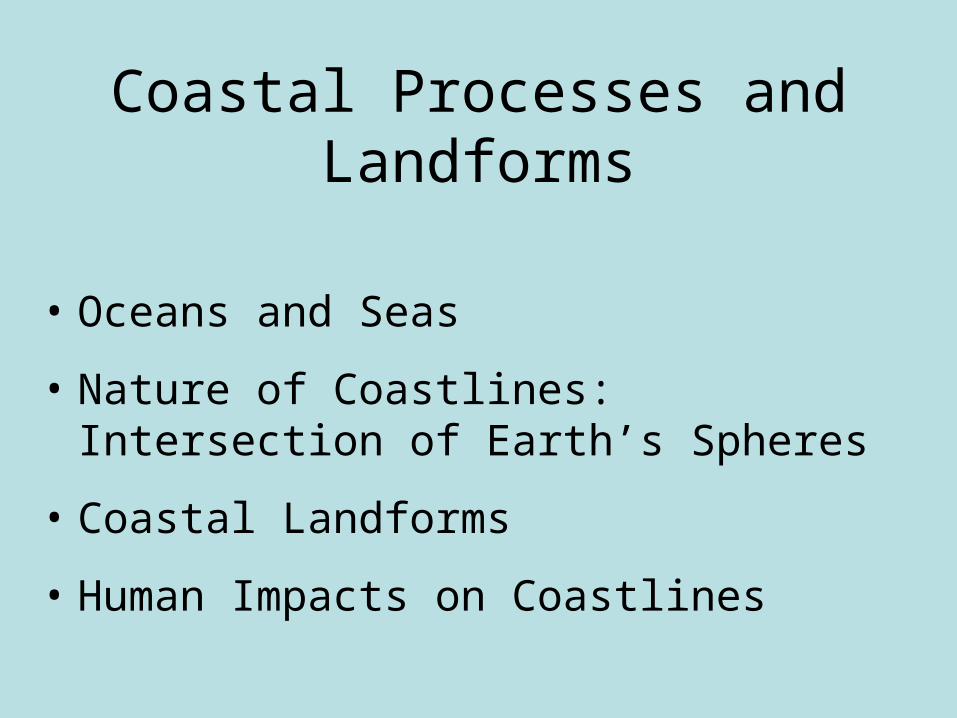
Coastal Processes and Landforms
• Oceans and Seas
• Nature of Coastlines: Intersection of Earth’s Spheres
• Coastal Landforms
• Human Impacts on Coastlines
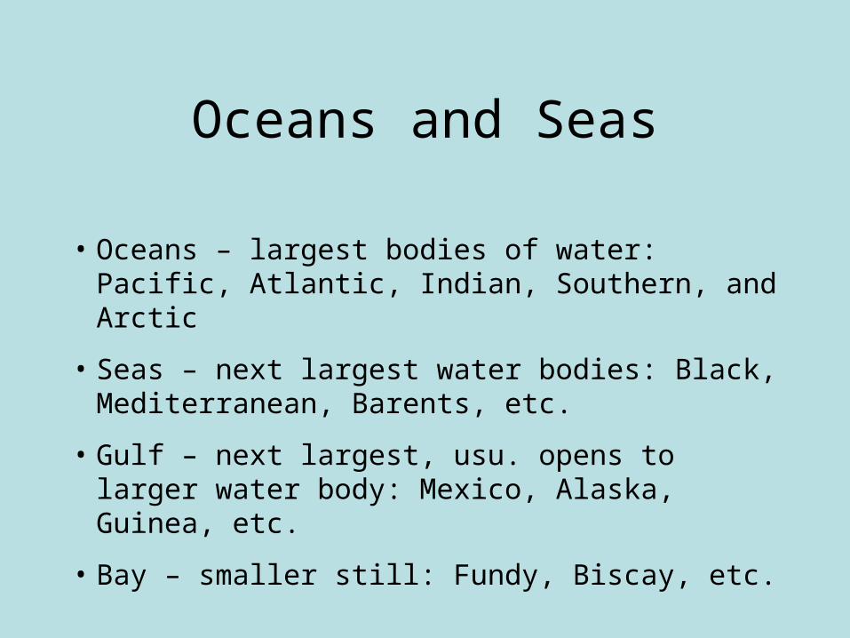
Oceans and Seas
• Oceans – largest bodies of water: Pacific, Atlantic, Indian, Southern, and Arctic
• Seas – next largest water bodies: Black, Mediterranean, Barents, etc.
• Gulf – next largest, usu. opens to larger water body: Mexico, Alaska, Guinea, etc.
• Bay – smaller still: Fundy, Biscay, etc.

Oceans and Seas
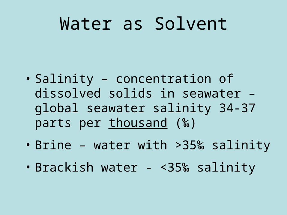
Water as Solvent
• Salinity – concentration of dissolved solids in seawater – global seawater salinity 34-37 parts per thousand (‰)
• Brine – water with >35‰ salinity
• Brackish water - <35‰ salinity
Shaping the Coastline
• Key to shaping coastline is movement of water
• Eustatic Change - changes in water level in ocean – due to tectonic uplift or hydro cycle variation
• Land above sea level forms river valleys that extend to sea level – when sea level rises, valley floods, as with Chesapeake Bay or Delaware Bay
• Ria – river valley flooded by rising sea level
• Fjord – glacial valley flooded by rising sea level

Eustatic Sea Level Changes

North American Coastline Through Time
Lowest sea levels occurred during glaciations when water was tied up in glaciers (130k & 19k bp) – highest sea levels in interglacial periods (120k bp)
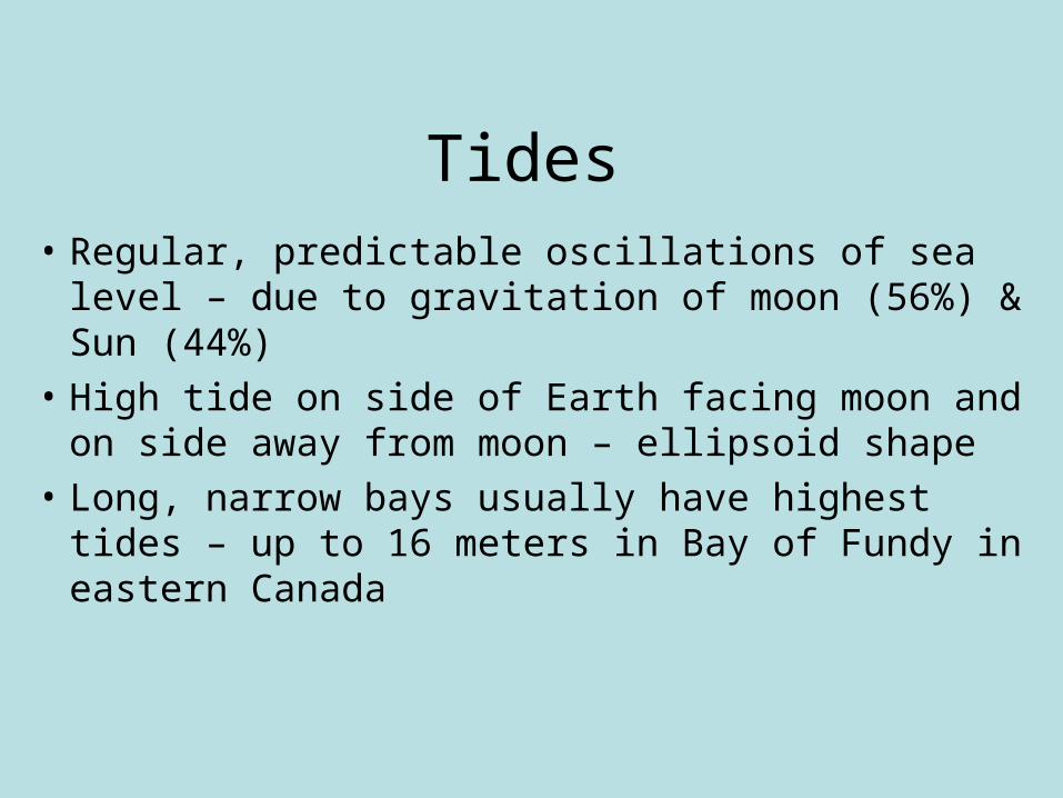
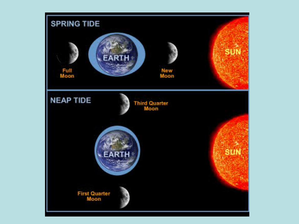
Tides
• Regular, predictable oscillations of sea level – due to gravitation of moon (56%) & Sun (44%)
• High tide on side of Earth facing moon and on side away from moon – ellipsoid shape
• Long, narrow bays usually have highest tides – up to 16 meters in Bay of Fundy in eastern Canada

Waves
• Oscillations in water due to force of friction from wind blowing across its surface
• Waves travel horizontally, but most movement of water is vertical, up-and-down
• Near coast seafloor slopes upward – wave base intersects ocean floor – wave pushes water up as it slows – waves pile up from behind - wave height exceeds 7X wavelength, and forms a breaker
• Only horizontal movement of water from breaker to beach, called surf – erosional agent
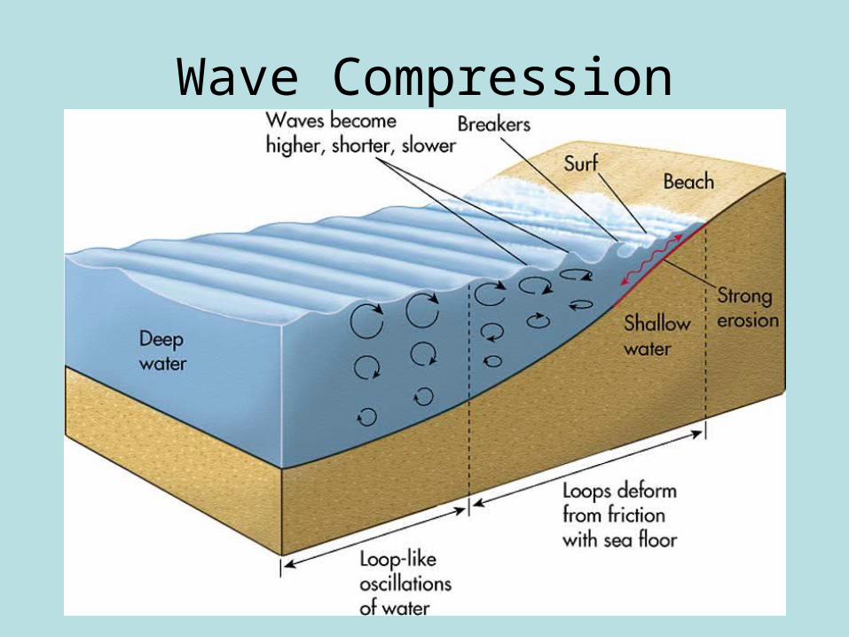
Wave Compression
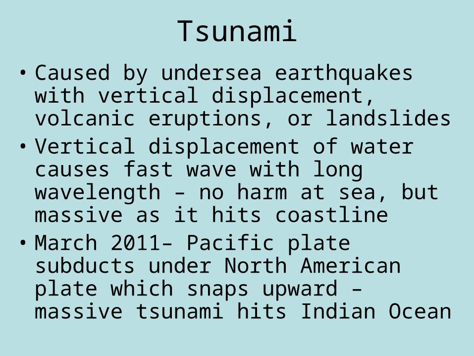
Tsunami• Caused by undersea earthquakes with vertical
displacement, volcanic eruptions, or landslides• Vertical displacement of water causes fast wave
with long wavelength – no harm at sea, but massive as it hits coastline
• March 2011– Pacific plate subducts under North American plate which snaps upward – massive tsunami hits Indian Ocean
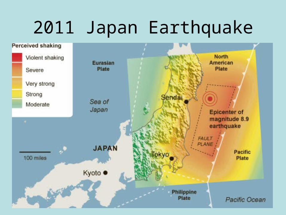
2011 Japan Earthquake
Littoral Processes
• Transport & deposition of sediment in shore zone• Longshore current – forms when wave hits beach
at oblique angle – water deflects downwind, parallel to beach
• Longshore drift – process of longshore current eroding & carrying sediment down shore
• Beach drift – zig-zag motion of sediment down beach due to swash & backwash
• Littoral Drift – longshore & beach drift together

Littoral Drift

Coastal LandformsErosional Coastlines
• Breaking waves have great power to erode
• Headland – promontory that juts into ocean or sea – made of resistant rock
• Waves slow & pivot around headlands – erosive power of waves concentrated on headland
• Retrogradation – retreat of coastline due to erosion
• Wave-Cut Bluff – basic erosional landform of coastlines – near-vertical cliff at water’s edge
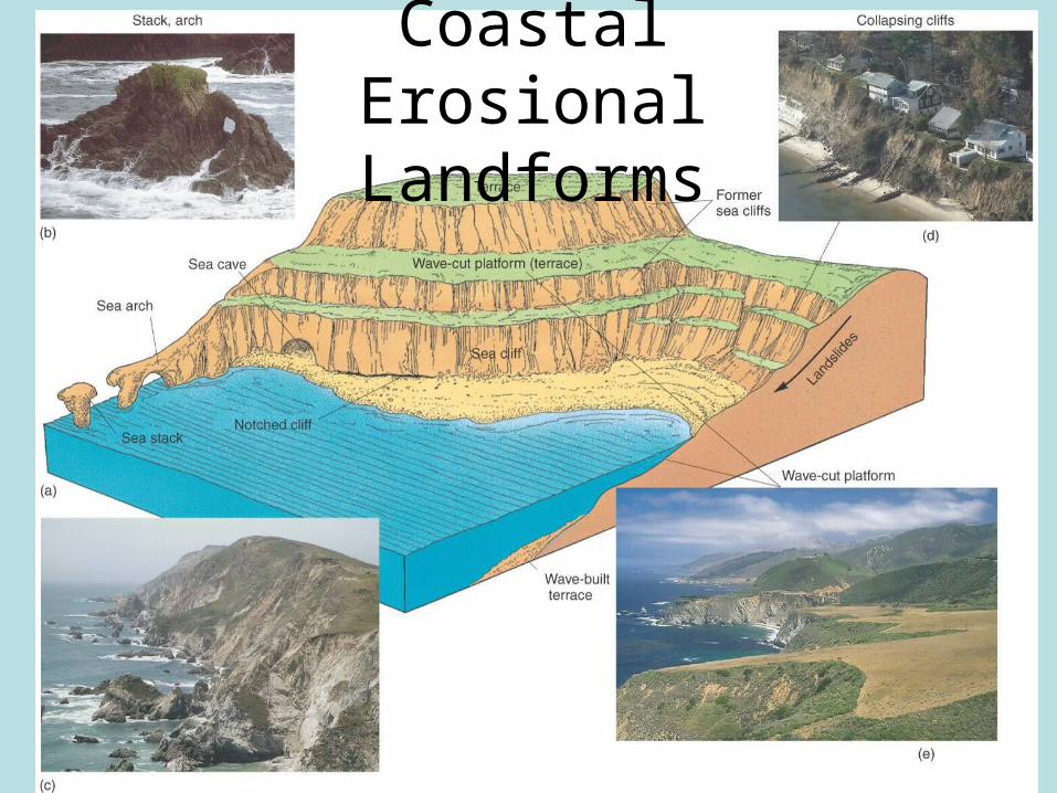
Coastal Erosional Landforms

Depositional Coastlines
• Progradation – process of coastline extending outward into water through deposition
• Beach – dynamic transition from sea to land– Offshore – under water, where waves break– Foreshore – rise & fall of tides– Offshore Bar – between offshore & foreshore– Beach Ridge – at high water line– Backshore – flat, only covered in storms

Beach Cross Section
Spits and Baymouth Bars
• Longshore current carries sediment down beach
• Current slows upon reaching bay – sand deposited as a Spit extending out into bay – current in bay turns spit toward land in hook shape
• Baymouth Bar – spit extends across bay, isolating it from ocean – bay now called Lagoon
• Tombolo – longshore currents from 2 directions meet – sand extends out to island or sea stack
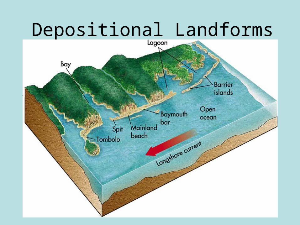
Depositional Landforms

Barrier Islands
• Elongated bars of sand that form parallel to shore
• Likely formed from sand deposited on cont. shelf during last glaciation – waves & wind shaped sand
• Lagoons w/mudflats form behind barrier islands
• Mudflats develop into vegetated salt marsh
Coral Reefs
• Coral polyps excrete external skeletons of calcium carbonate (limestone) – Coral Reefs
• New reefs form on top of old, dead reefs
• 30º N - 25º S latitude, water warmer than 20º C
• 3 settings:– Fringing reef – on shallows around island– Barrier reef – line of coral parallel to shore– Atoll – semicircular reef around degraded volcanic
island
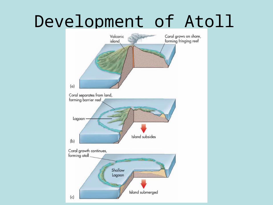
Development of Atoll
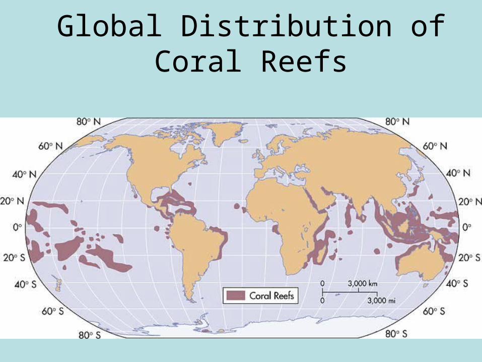
Global Distribution of Coral Reefs
Human Impacts on Coastlines
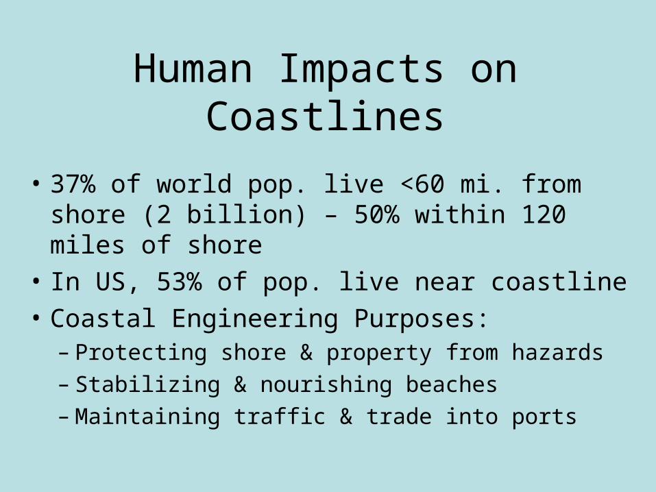
• 37% of world pop. live <60 mi. from shore (2 billion) – 50% within 120 miles of shore
• In US, 53% of pop. live near coastline
• Coastal Engineering Purposes:– Protecting shore & property from hazards– Stabilizing & nourishing beaches– Maintaining traffic & trade into ports
Mitigating Coastal Hazards
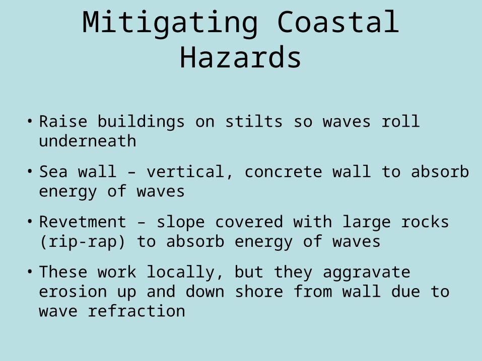
• Raise buildings on stilts so waves roll underneath
• Sea wall – vertical, concrete wall to absorb energy of waves
• Revetment – slope covered with large rocks (rip-rap) to absorb energy of waves
• These work locally, but they aggravate erosion up and down shore from wall due to wave refraction

Beach Nourishment
• Bringing sand to beaches that have eroded – over $336M spent in Florida since 1960s
• How?– Trucking in sand from remote location– Limit loss of sand through groins – low walls built at
right angles to beach – intercept longshore drift
• Jetties – stone or concrete structures to keep channel open, keep sand to side
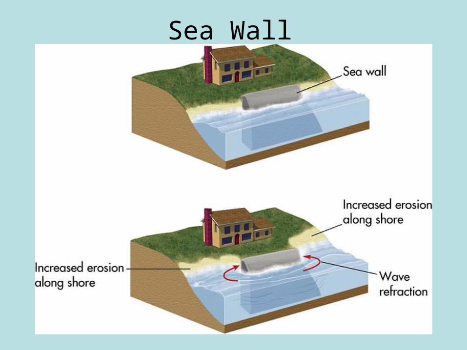
Sea Wall

Groins and Jetties
Related Documents