Kathryn Ries and Neil Weston Office of Coast Survey, NOS, NOAA

Welcome message from author
This document is posted to help you gain knowledge. Please leave a comment to let me know what you think about it! Share it to your friends and learn new things together.
Transcript
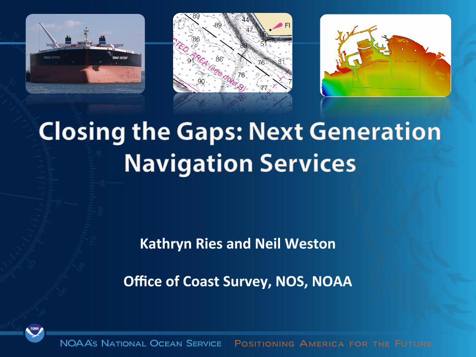
Kathryn Ries and Neil Weston
Office of Coast Survey, NOS, NOAA
2
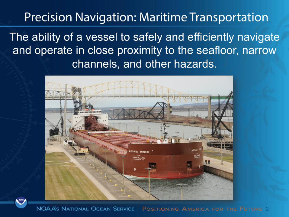
The ability of a vessel to safely and efficiently navigate and operate in close proximity to the seafloor, narrow
channels, and other hazards.
Precision Navigation: Maritime Transportation

4
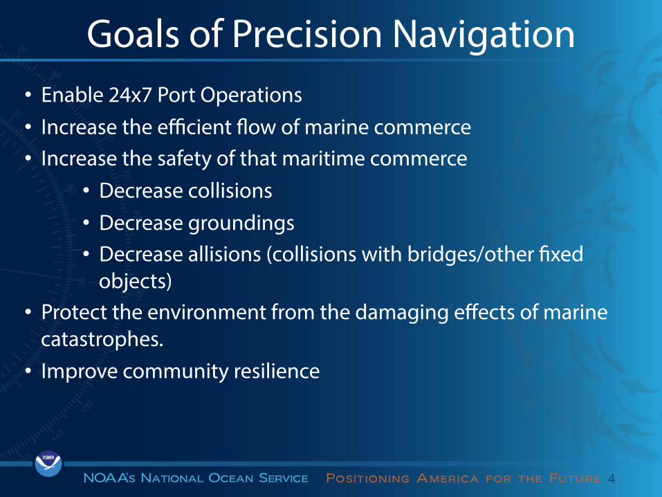
Goals of Precision Navigation • Enable 24x7 Port Operations • Increase the efficient flow of marine commerce • Increase the safety of that maritime commerce
• Decrease collisions • Decrease groundings • Decrease allisions (collisions with bridges/other fixed
objects) • Protect the environment from the damaging effects of marine
catastrophes. • Improve community resilience

5
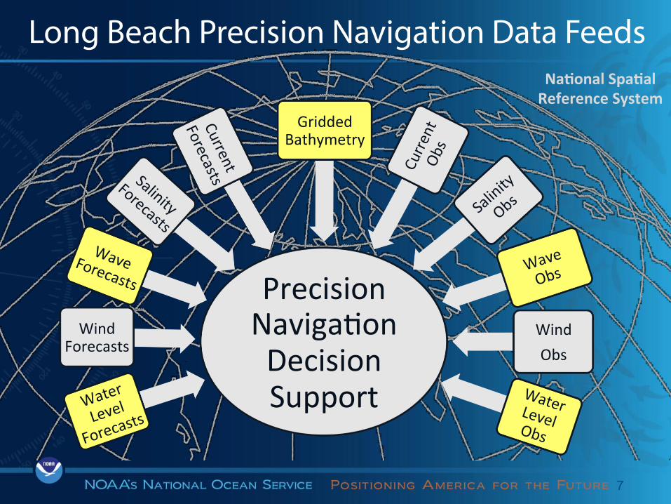
Integrated Data for Better Decisions
Precision Naviga.on Decision Support Water
Level
Forecasts
Wind Forecasts
Wave
Obs
Gridded Bathymetry
Wind Obs
Water Level Obs
Na<onal Spa<al Reference System

Port of LA/Long Beach Project
Challenge • Very large tankers enter the Port of Long Beach • How we can reduce the risk they touch bottom?
7
Precision Naviga.on Decision Support Water
Level
Forecasts
Wind Forecasts
Wave
Obs
Gridded Bathymetry
Wind Obs
Water Level Obs
Long Beach Precision Navigation Data Feeds Na<onal Spa<al Reference System


Who is Involved
9
Stakeholders
Partners providing cri.cal observa.on/geospa.al informa.on & PIER 121 USERS
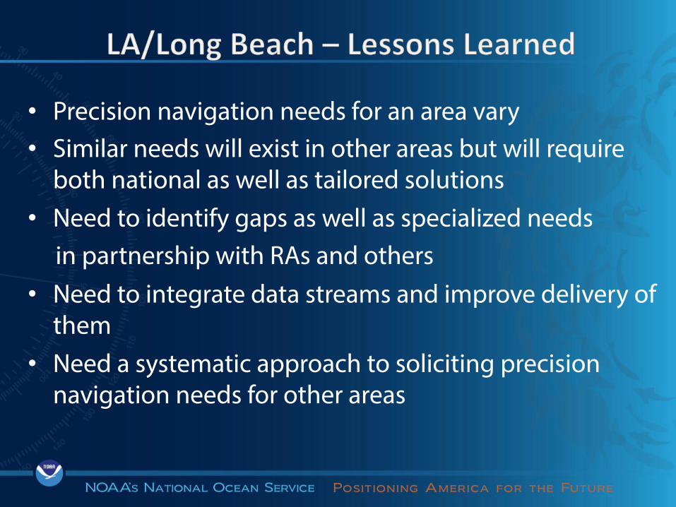
• Precision navigation needs for an area vary • Similar needs will exist in other areas but will require
both national as well as tailored solutions • Need to identify gaps as well as specialized needs in partnership with RAs and others • Need to integrate data streams and improve delivery of
them • Need a systematic approach to soliciting precision
navigation needs for other areas
Where to next?
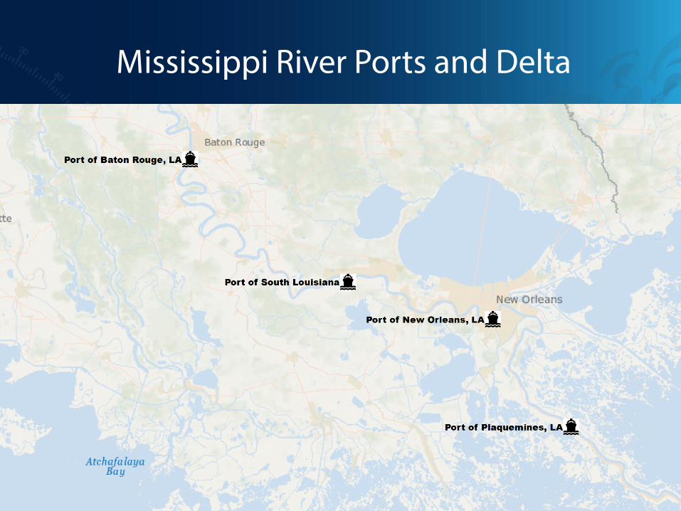
Mississippi River Ports and Delta

13
Who are the Precision Navigation Customers?
• Mariners • Port operators • Pilots • Commercial shipping companies/agents
Starting in the Gulf of Mexico

14
Issues on the Mississippi River • Today’s charts are not meeting the needs of today’s mariners
(higher resolution, with real-time overlays) • There are low under-keel clearances on the river. • Waves dominate in the approaches during winter storms. • Currents are problems in bends and entrance to SW Pass. • Air gaps on bridges are tight and getting tighter. • Better water level forecasts are needed. • Water levels are dominated by riverine discharge. • Fog is a frequent problem. • Diverse vertical datums need harmonization. • Anchorages are crowded and fouled by revetments.
15
Benefits of addressing these issues
• Maximize loading at the port of departure to take economic advantage of shipping to port of arrival.
• Increase the planning and expanded use of anchorages for safe and efficient logistics.
• Allow ships to plan ahead for bridge clearance for smooth, safe port operations and fuel savings.

• Enhanced and integrated decision support tools • Develop/expand risk reduction nowcast/forecast
models • Provide chart information in standard formats
– Portable Pilot Units, iPads – Vessel Traffic Control Systems
• Advance Chart of the Future – ENC 2.0 – Overlays (high resolution bathy, tides, currents, waves)
• Fill Observation Gaps to support the above

17
Customer Engagement Strategy
• Exchange regional contact information for NOAA (Nav Mngrs and others) and IOOS RAs
• Engage RAs in customer engagement strategy, starting with Gulf of Mexico
• Exchange information on precision navigation requirements
• Plan for future customer engagement elsewhere, clarify respective roles and responsibilities
• Other?
Next Steps

19
Coast Survey Navigation Managers

Thank You
Related Documents