GE 11 Overview of Geodetic Engineering 1 Engineering Florence A. Galeon Assistant Professor U.P. College of Engineering

Welcome message from author
This document is posted to help you gain knowledge. Please leave a comment to let me know what you think about it! Share it to your friends and learn new things together.
Transcript
GE 11Overview of Geodetic
Engineering
1
Engineering
Florence A. GaleonAssistant Professor
U.P. College of Engineering
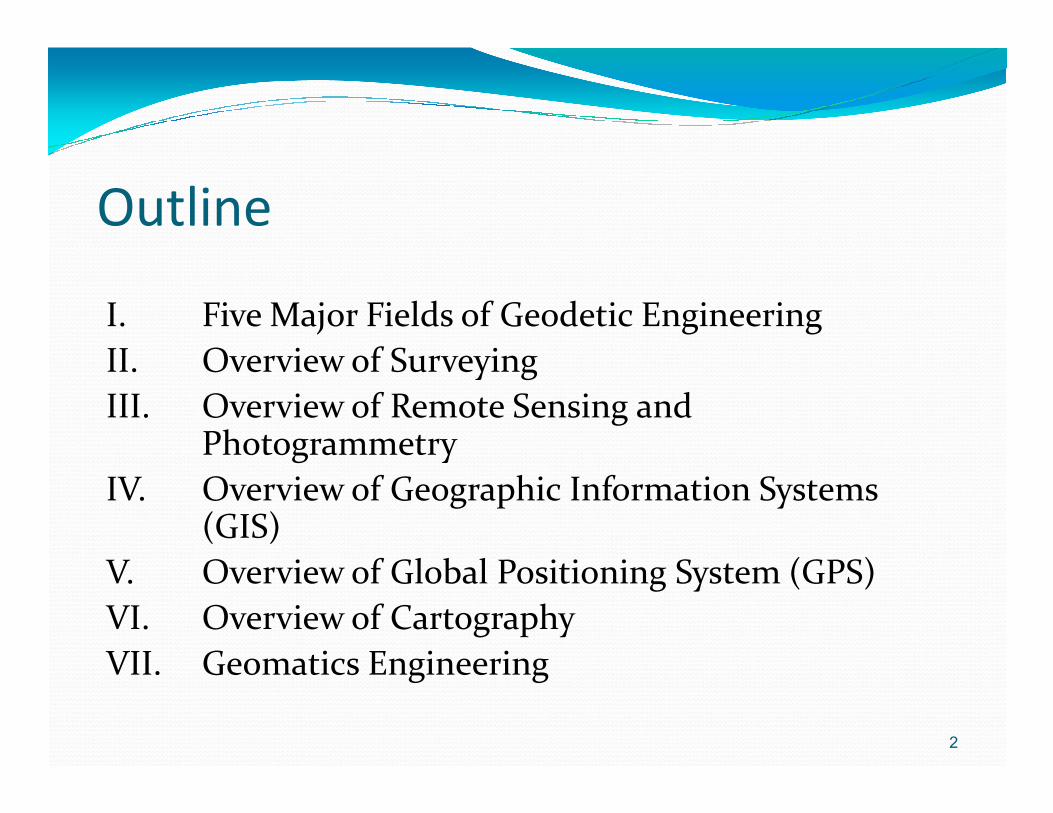
Outline
I. Five Major Fields of Geodetic EngineeringII. Overview of SurveyingIII. Overview of Remote Sensing and III. Overview of Remote Sensing and
PhotogrammetryIV. Overview of Geographic Information Systems
(GIS)V. Overview of Global Positioning System (GPS)VI. Overview of CartographyVII. Geomatics Engineering
2

Five Major Fields of Geodetic Engineering Course
� I. Surveying� II. Remote Sensing and Photogrammetry� II. Remote Sensing and Photogrammetry� III. Geographic Information Systems (GIS)� IV. Global Positioning System (GPS)�V. Cartography
3
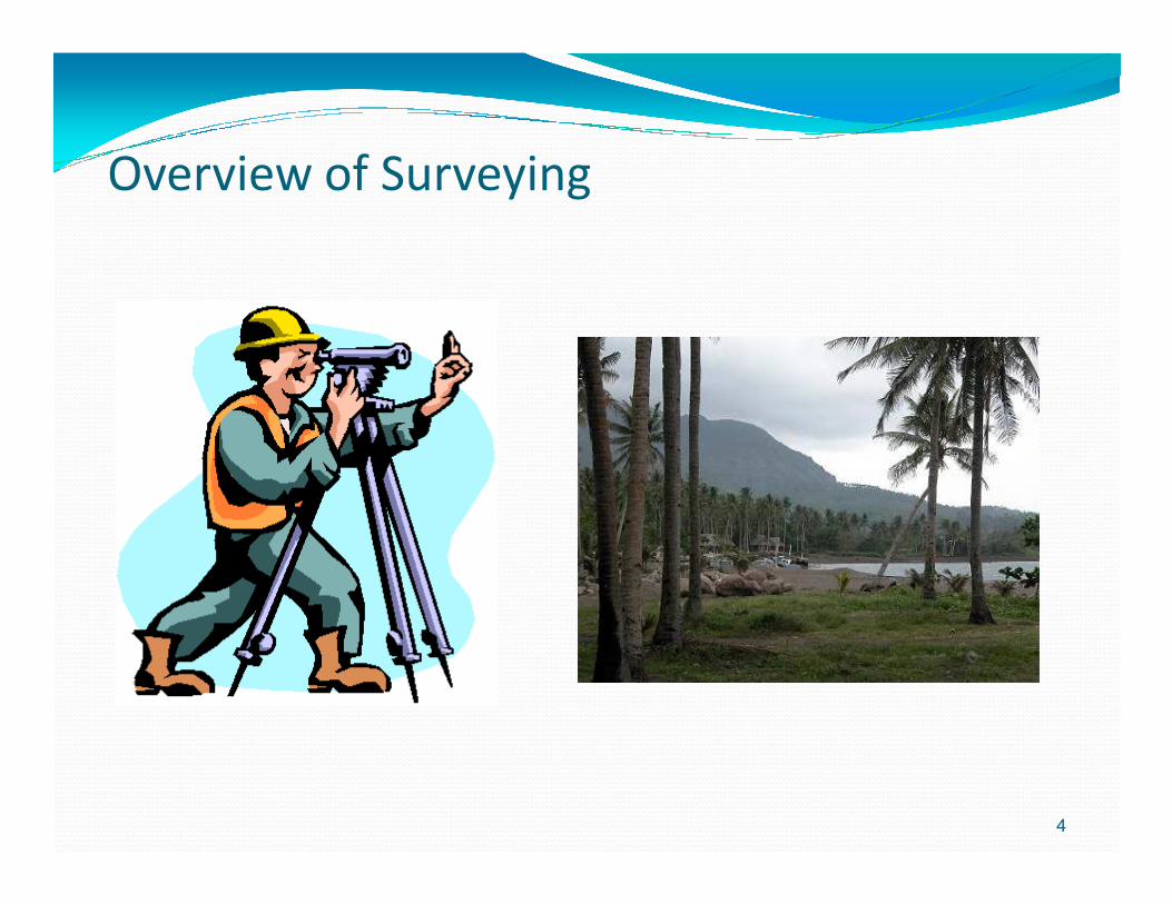
Overview of Surveying
4
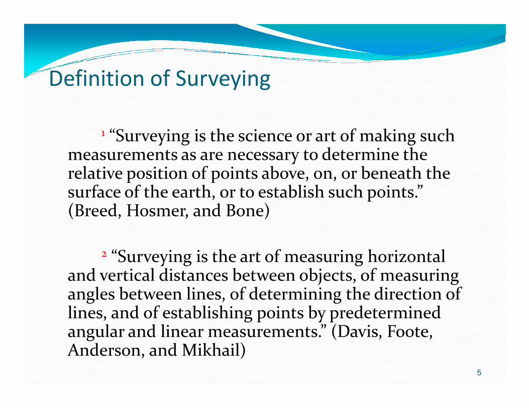
Definition of Surveying
1 “Surveying is the science or art of making such measurements as are necessary to determine the relative position of points above, on, or beneath the surface of the earth, or to establish such points.” (Breed, Hosmer, and Bone)(Breed, Hosmer, and Bone)
2 “Surveying is the art of measuring horizontal and vertical distances between objects, of measuring angles between lines, of determining the direction of lines, and of establishing points by predetermined angular and linear measurements.” (Davis, Foote, Anderson, and Mikhail)
5

Sample Surveying Instruments
6

Overview of Remote Sensing and Photogrammetry
7
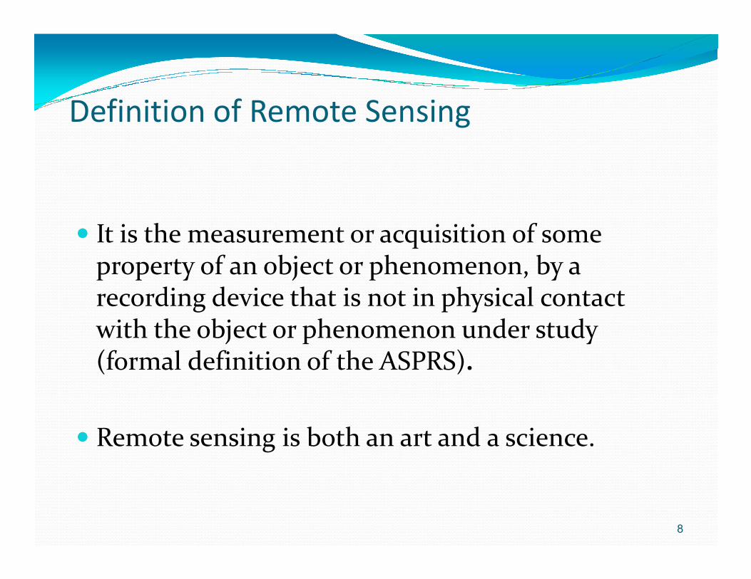
Definition of Remote Sensing
� It is the measurement or acquisition of some property of an object or phenomenon, by a recording device that is not in physical contact recording device that is not in physical contact with the object or phenomenon under study (formal definition of the ASPRS).
� Remote sensing is both an art and a science.
8
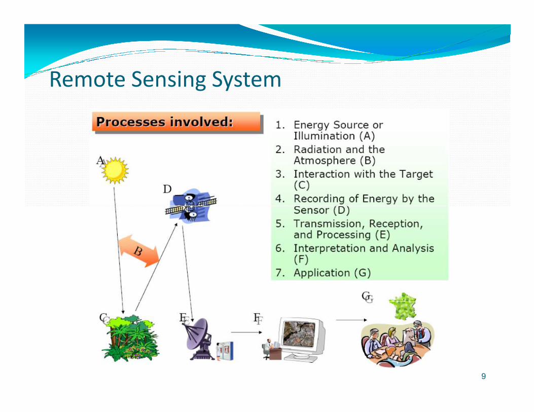
Remote Sensing System
9

Some Remote Sensing Satellites
10
QuickBird
NOAA 12, 14, 16 RADARSAT 1
SPOT 1, 2, 4

Sample Products of Remote Sensing
11
SPOT False Color Image Ikonos True Color Image

NOAA-14 Satellite Image of Hurricane Isaac
12
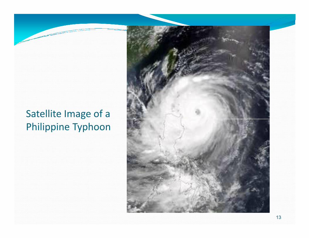
Satellite Image of a Satellite Image of a Philippine Typhoon
13
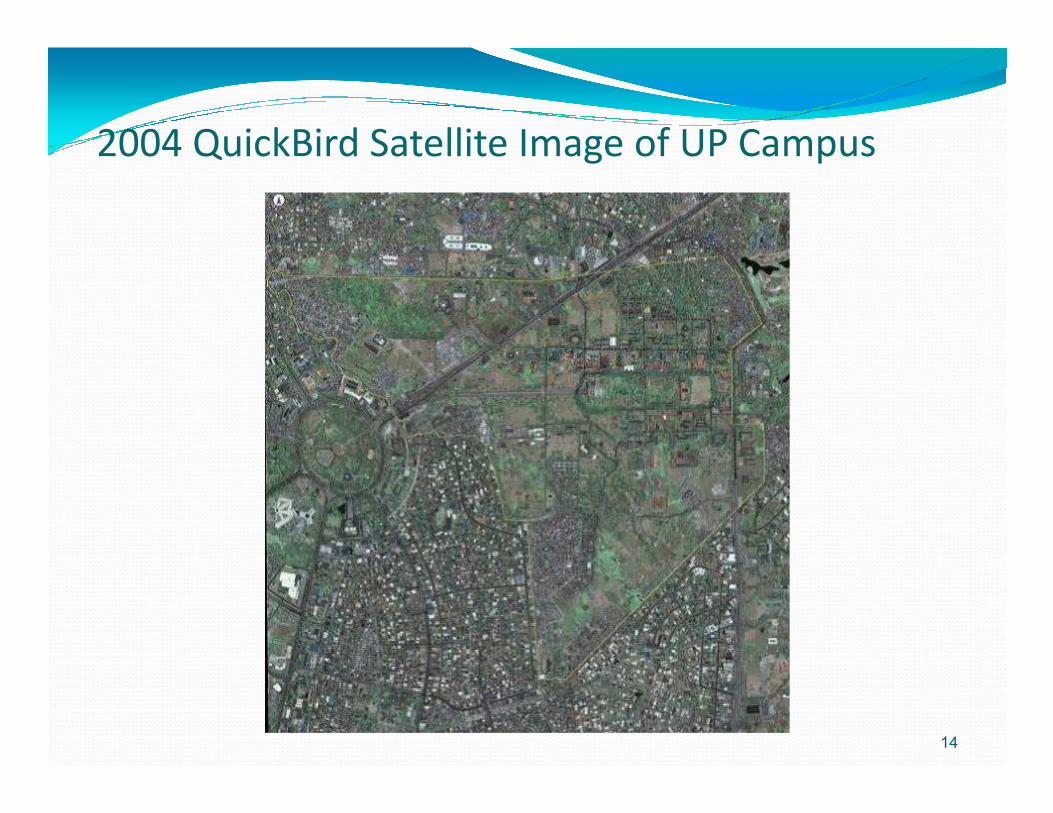
2004 QuickBird Satellite Image of UP Campus
14

Large Scale Display
15
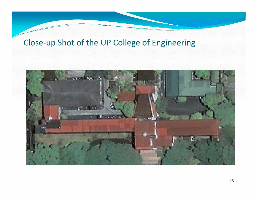
Close-up Shot of the UP College of Engineering
16

2002 UP Campus Aerial Photo
17
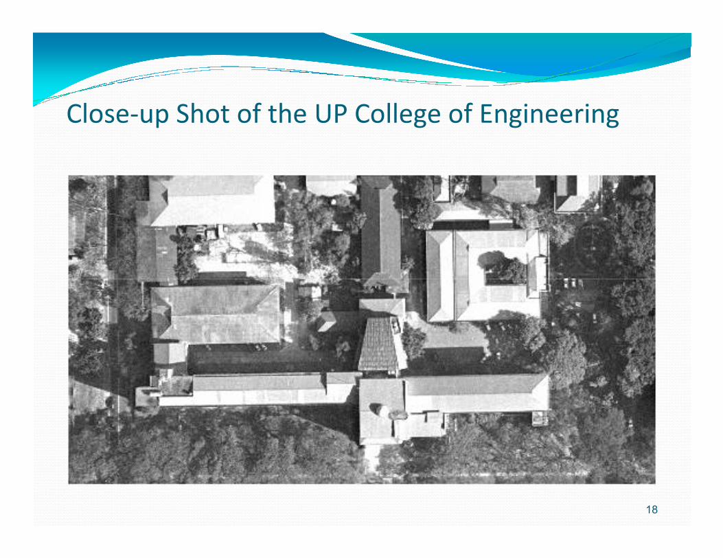
Close-up Shot of the UP College of Engineering
18

Sample Aerial Photo of Parañaqueof Parañaque(res = 0.1 m)
19
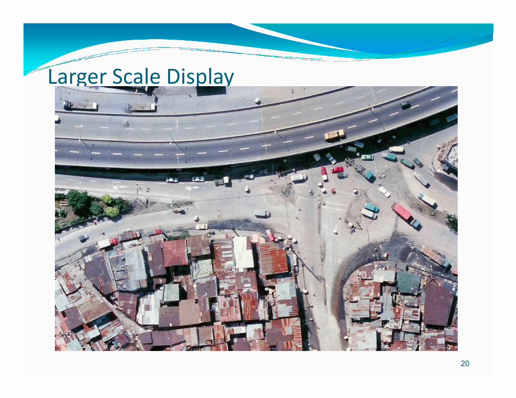
Larger Scale Display
20

People can be seen on the image
21

Overview of GIS
22
Defining Geographic Information Systems (GIS)
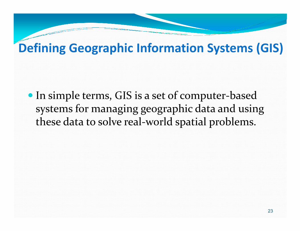
� In simple terms, GIS is a set of computer-based systems for managing geographic data and using these data to solve real-world spatial problems.these data to solve real-world spatial problems.
23

Anatomy of GIS
The anatomy of GIS refers to the various components that make up the system. GIS is generally thought to be comprised of the following
24
to be comprised of the following components: hardware, software,data, people and organizations, and methods and institutional arrangements for collecting, storing, analyzing and disseminating information about areas of the earth.

GIS GIS layers layers to to model model the the real worldreal world
25http://geoworld.la.asu.edu/gis/

26
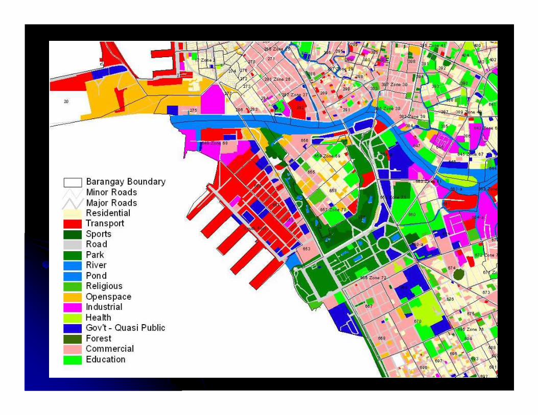
•GIS stores information as a collection of thematic layers (left image). •By a processing called geocoding, the location of a particular thematic feature may be recorded (right image).

UP Campus Barangay Jurisdiction
27
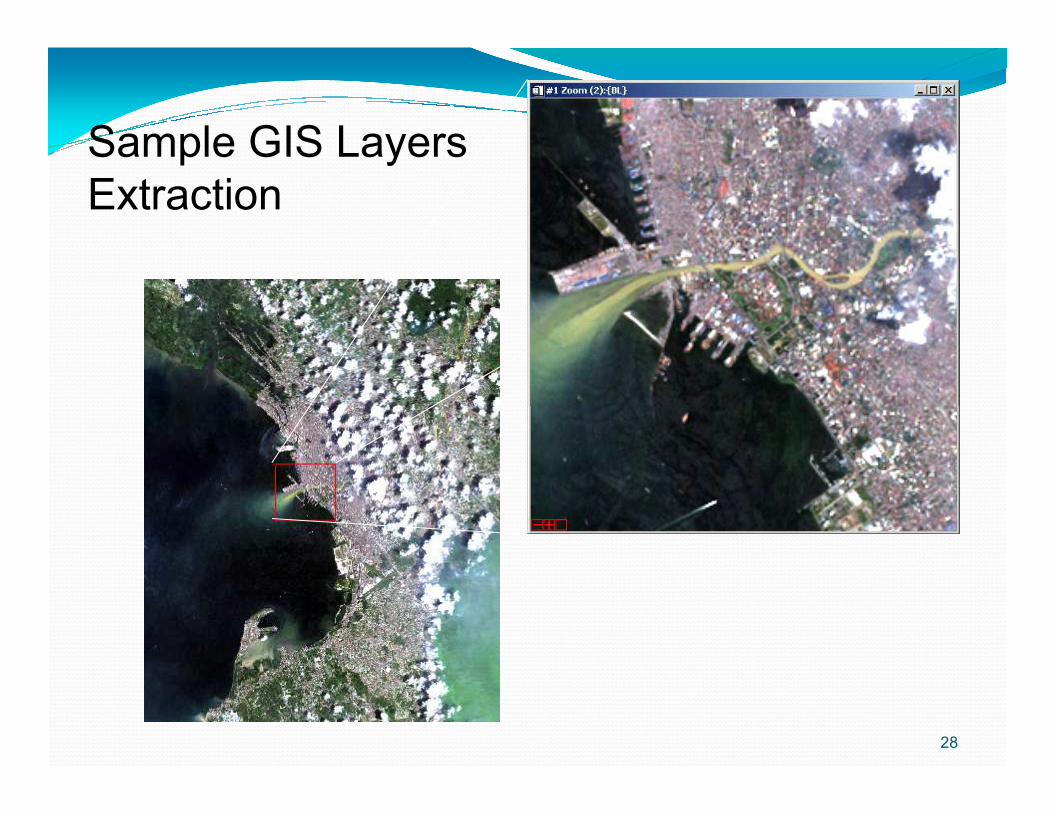
Sample GIS Layers Extraction
28
2929

3030
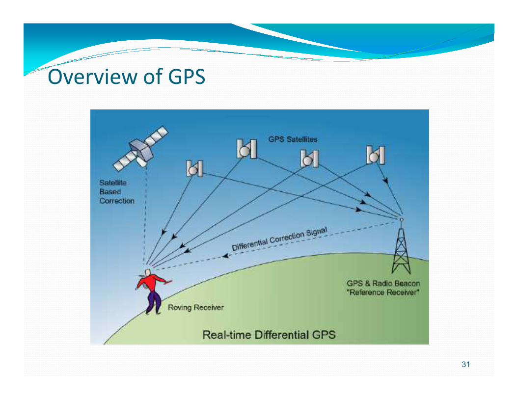
Overview of GPS
31
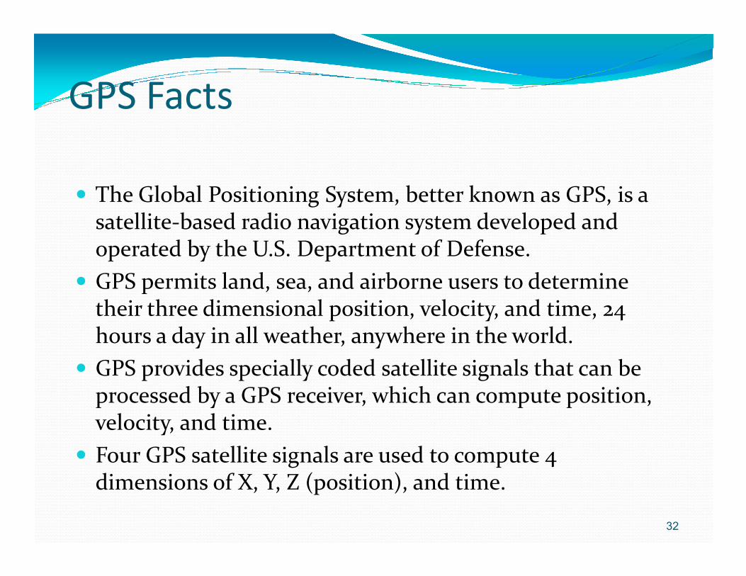
GPS Facts
� The Global Positioning System, better known as GPS, is a satellite-based radio navigation system developed and operated by the U.S. Department of Defense.
� GPS permits land, sea, and airborne users to determine � GPS permits land, sea, and airborne users to determine their three dimensional position, velocity, and time, 24 hours a day in all weather, anywhere in the world.
� GPS provides specially coded satellite signals that can be processed by a GPS receiver, which can compute position, velocity, and time.
� Four GPS satellite signals are used to compute 4 dimensions of X, Y, Z (position), and time.
32

Position Determination with GPS
33
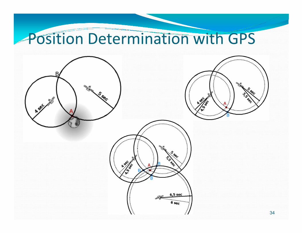
Position Determination with GPS
34

Three Satellites (2D Positioning)Three Satellites (2D Positioning)
How a Receiver Determines Its Position (cont.) Three satellites can provide only a two-dimensional (2D) position. Without manually entering the receiver’s exact elevation (most GPS receivers don’t allow elevation to be entered manually), the rendered 2D position may be off by several kilometers on the ground. If the exact elevation of the GPS receiver is known, entering that elevation into a receiver with this capability replaces the need for a fourth satellite signal to allow a receiver to triangulate a precise position. The receiver essentially uses elevation in lieu of a fourth satellite, and makes the appropriate adjustments to trilaterate a reasonably good 3D position. But without manual elevation correction most GPS receivers must rely on a fourth satellite to provide the final clock correction information necessary to calculate a 3D position. Until a fourth satellite signal is acquired the receiver will not be able to determine x and y horizontal, and z vertical positioning (a true 3D position). This is because the fourth satellite signal is used by the receiver not to provide more position data, but, rather, the final time correction factor in its ranging calculations. As a rule, 2D positions should always be avoided whenever possible. Use 2D positioning only when a 3D position is not possible, but be aware of the horizontal error inherent in any 2D position. The inability of a GPS receiver to triangulate a 3D position may be due to a variety of factors, including user error, poor satellite geometry, and harsh landscape conditions (tall buildings, canyons, and dense tree cover among others). As will be shown later in the course, all GPS receivers provide some means for informing the user which mode they are operating in. It’s up to the user to be aware of the errors associated with 2D positioning.

GPS Receivers
36
Handheld GPS Receivers Survey Grade GPS Receivers
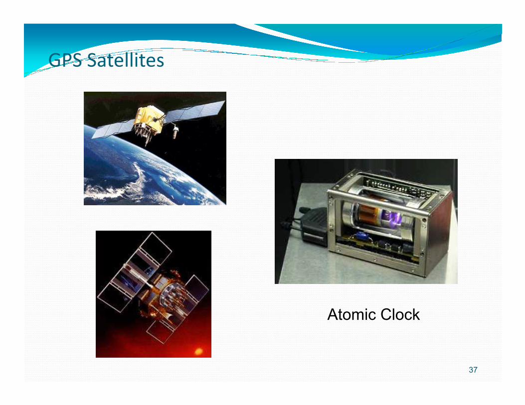
GPS Satellites
37
Atomic Clock
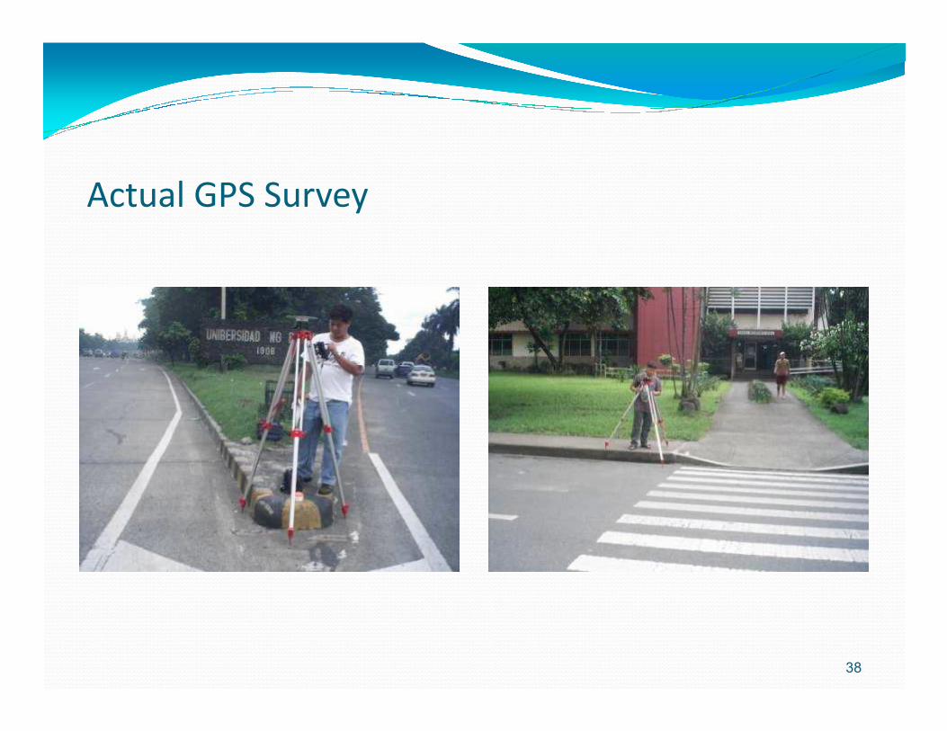
Actual GPS Survey
38

Actual GPS Survey
39
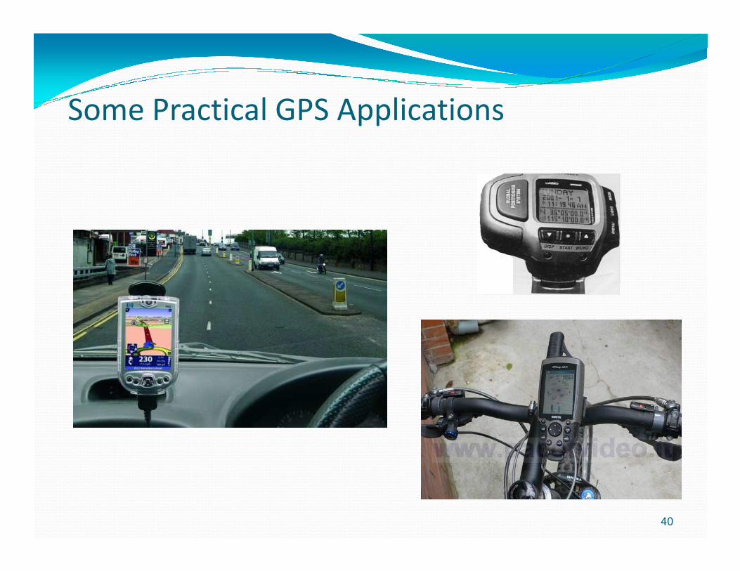
Some Practical GPS Applications
40
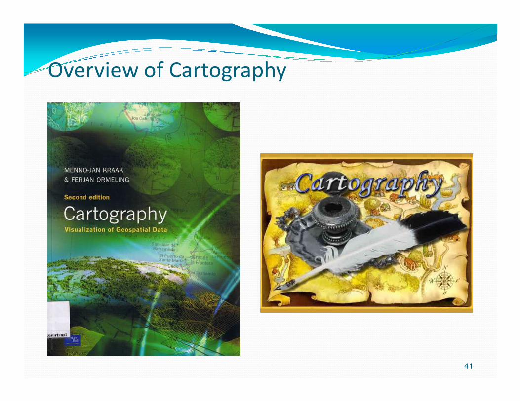
Overview of Cartography
41
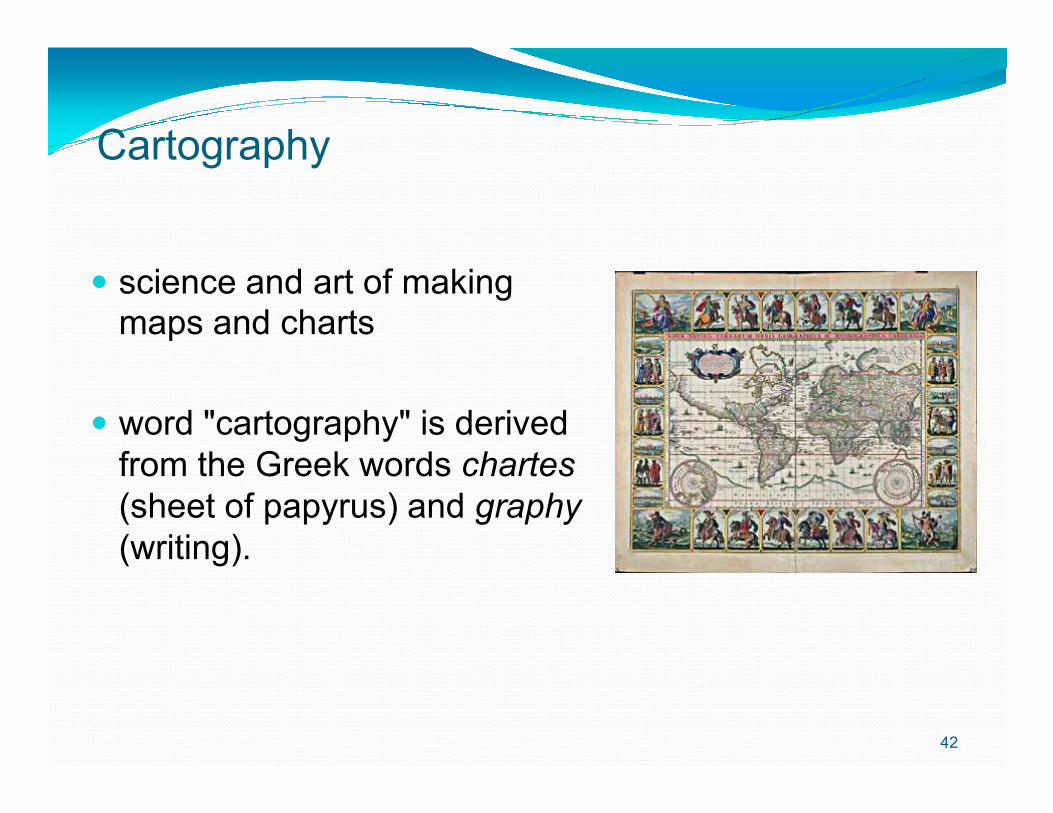
Cartography
� science and art of making maps and charts
word "cartography" is derived
42
� word "cartography" is derived from the Greek words chartes(sheet of papyrus) and graphy(writing).
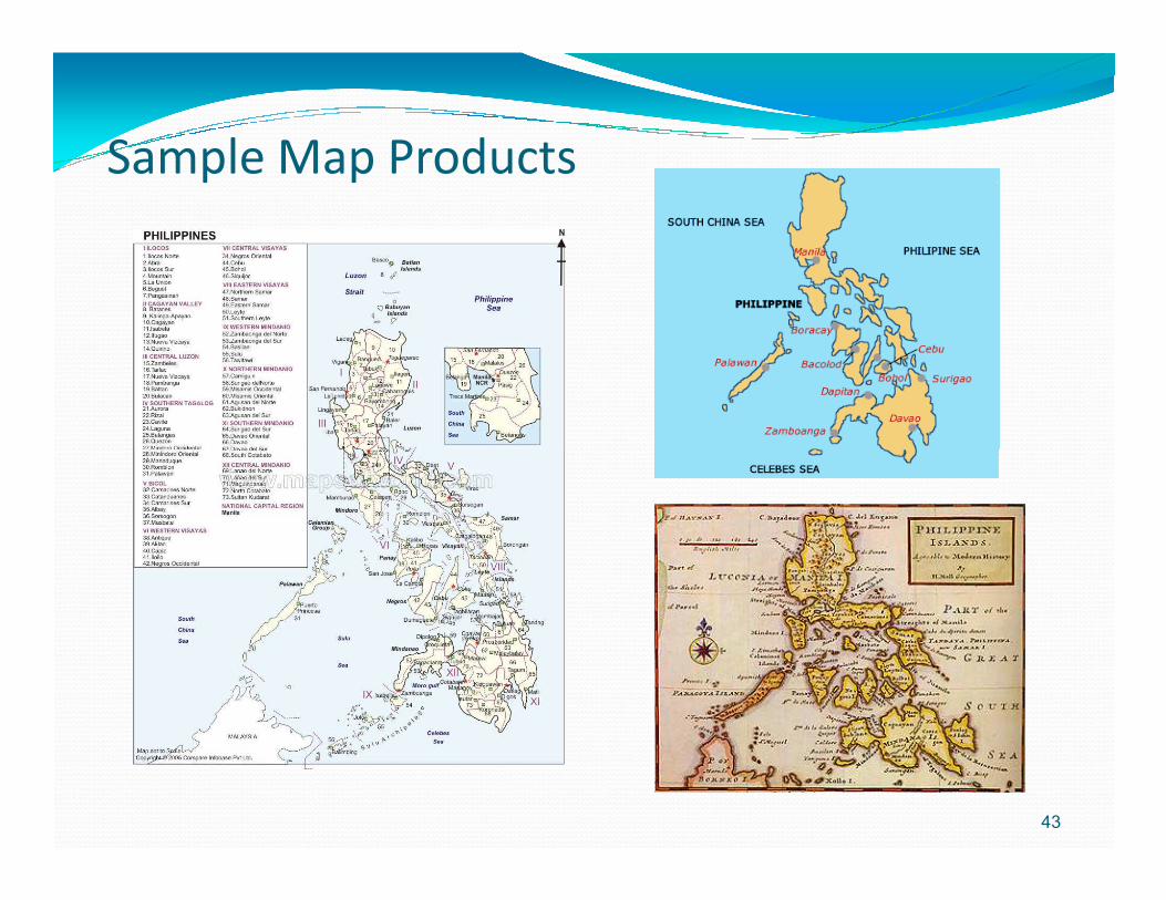
Sample Map Products
43
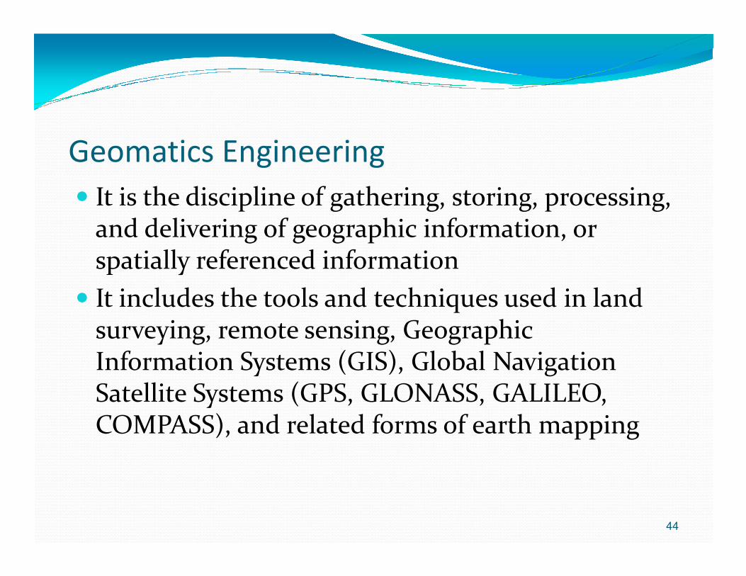
Geomatics Engineering� It is the discipline of gathering, storing, processing,
and delivering of geographic information, or spatially referenced information
� It includes the tools and techniques used in land � It includes the tools and techniques used in land surveying, remote sensing, Geographic Information Systems (GIS), Global Navigation Satellite Systems (GPS, GLONASS, GALILEO, COMPASS), and related forms of earth mapping
44

Interrelationship of the Different Geospatial Technologies
Surveying
Remote Sensing
GPS
G e o m a t i c s
45
GIS
Application Fields
Cartography

46
Related Documents