Introduction to Remote Sensing

Introduction to Remote Sensing. Outline What is remote sensing? The electromagnetic spectrum (EMS) The four resolutions Image Classification Incorporation.
Dec 29, 2015
Welcome message from author
This document is posted to help you gain knowledge. Please leave a comment to let me know what you think about it! Share it to your friends and learn new things together.
Transcript

Introduction to Remote Sensing
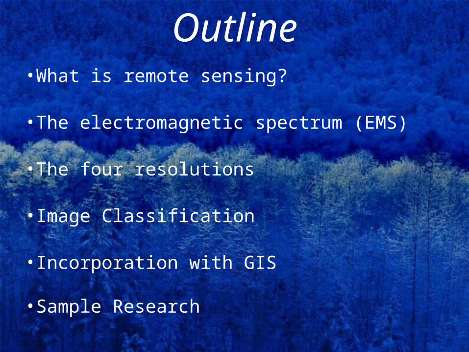
Outline•What is remote sensing?
•The electromagnetic spectrum (EMS)
•The four resolutions
•Image Classification
•Incorporation with GIS
•Sample Research

What is remote sensing?•Remote sensing is the art and science of
analyzing the Earth’s surface with remotely acquired data (most often from aircraft or satellites)
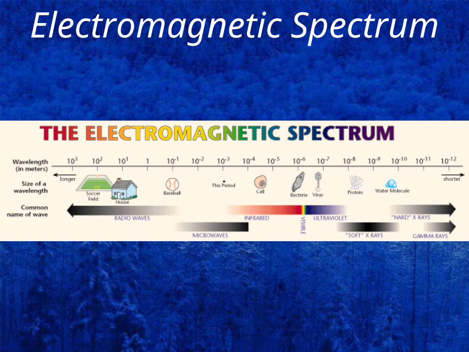
Electromagnetic Spectrum

Electromagnetic Spectrum•Remote sensing instruments can
collect reflectance information in a wide range of the spectrum (visible, infrared, radar)
•Different features reflect various amounts of energy from different parts of the spectrum
•That is how we can distinguish and separate between features.
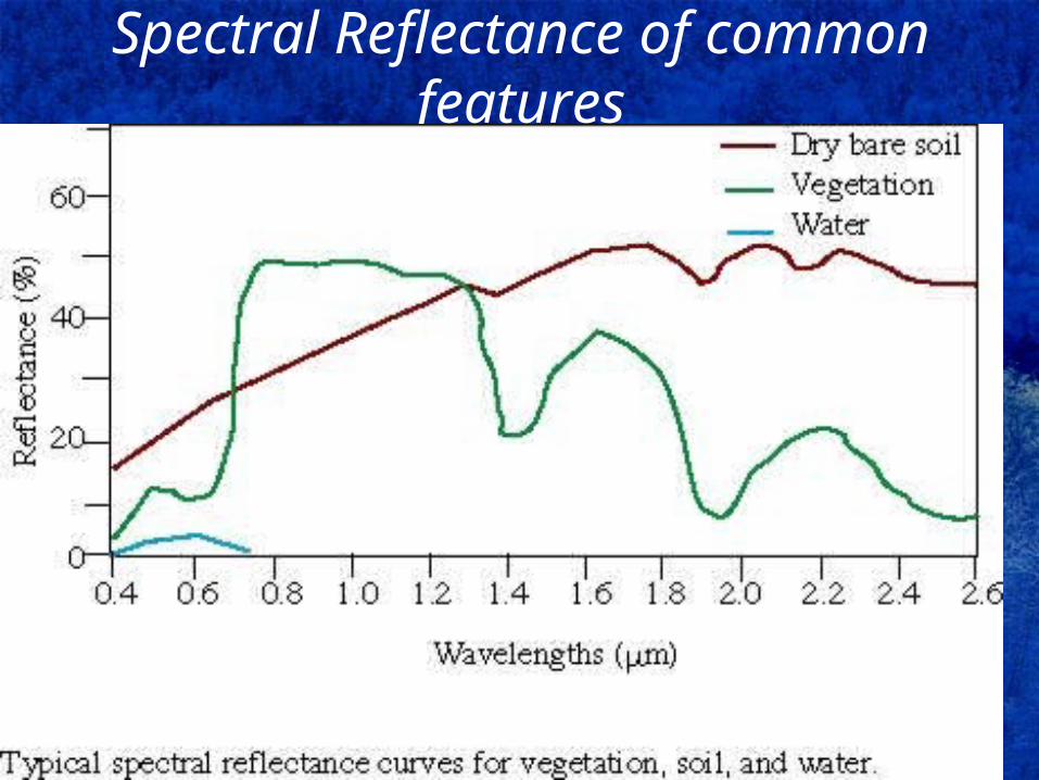
Spectral Reflectance of common features
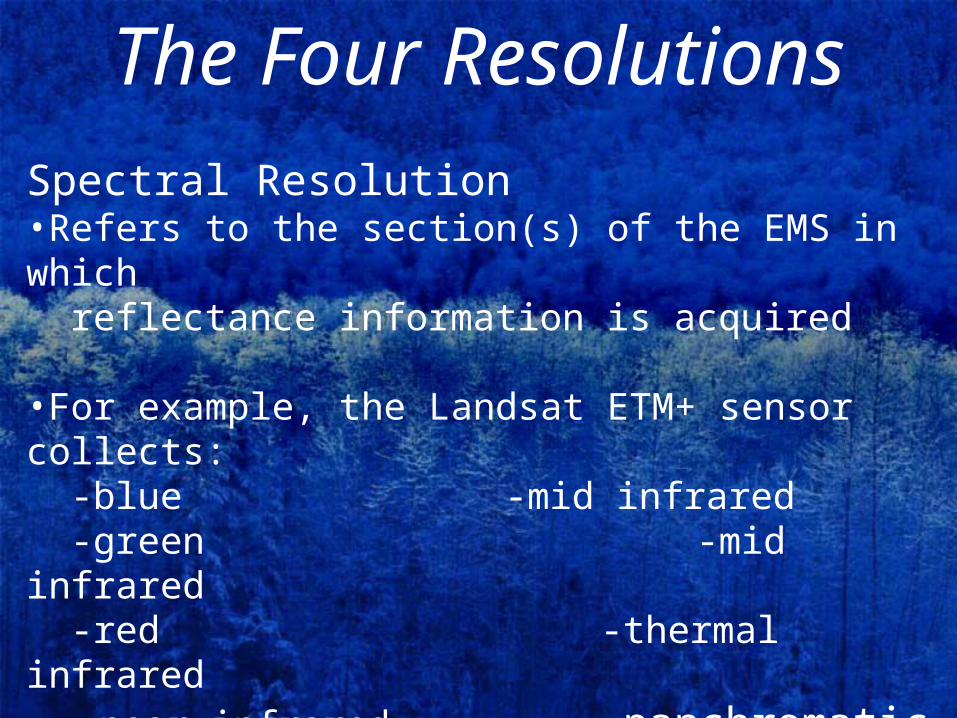
The Four ResolutionsSpectral Resolution•Refers to the section(s) of the EMS in which reflectance information is acquired
•For example, the Landsat ETM+ sensor collects: -blue -mid infrared -green -mid infrared -red -thermal infrared -near infrared -panchromatic

The Four ResolutionsSpatial Resolution•Refers to the size of a single pixel in an image (i.e., the area for which individual reflectance values are recorded Landsat ETM+ - 30m IKONOS Panchromatic– 1m

The Four Resolutions
The Four ResolutionsRadiometric Resolution•Refers to the range of reflectance values recorded•For example, 8-bit data displays values ranging 0-255 (28=256)
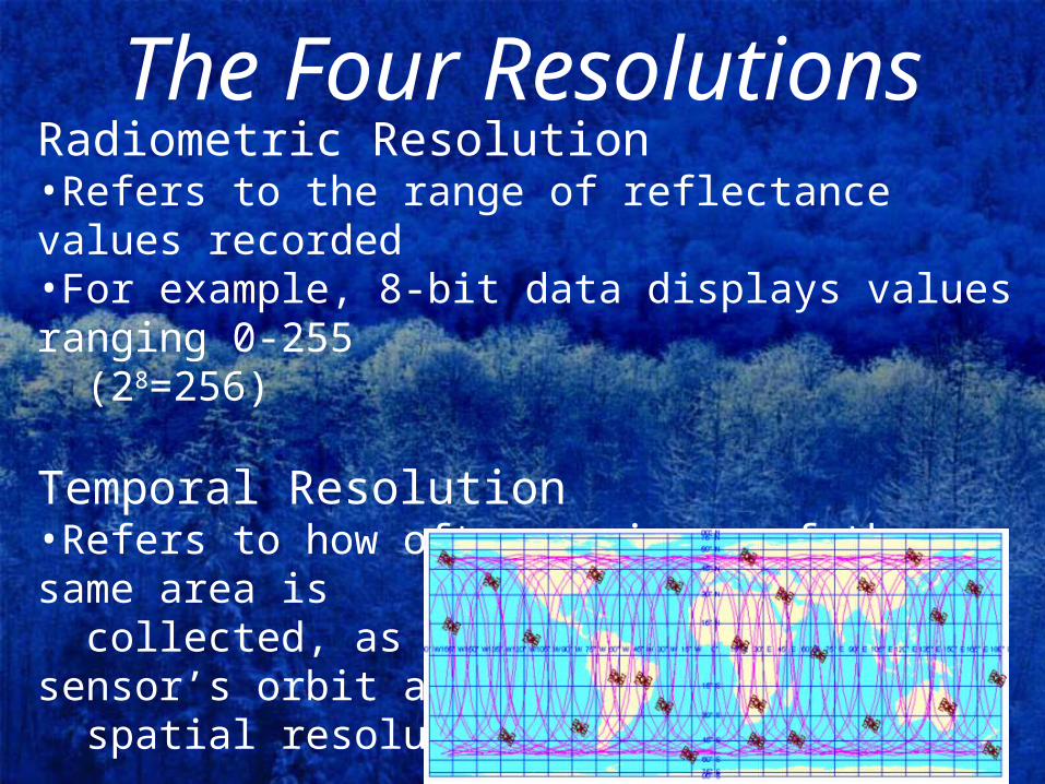
Temporal Resolution•Refers to how often an image of the same area is collected, as determined by the sensor’s orbit and spatial resolution
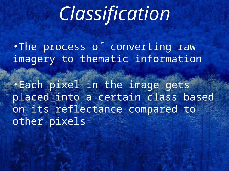
Classification
•The process of converting raw imagery to thematic information
•Each pixel in the image gets placed into a certain class based on its reflectance compared to other pixels

Raw Image

Classified Image

Change Detection•Using images of the same area at different times to analyze what has happened between the two dates
Landsat-1985 Landsat-2000

Change Detection

GIScience•Geographical Information Sciences (i.e., the art and science of spatial analysis)
•Data collected from a variety of sources can provide input for a GIS database because (provided) they are rectified to a common spatial reference (coordinate system, datum plane, projection) (e.g., WGS 1984, UTM, Zone 30)
•This includes remotely-sensed data
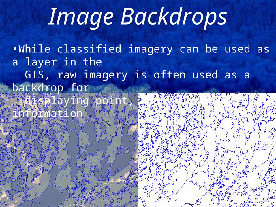
Image Backdrops•While classified imagery can be used as a layer in the GIS, raw imagery is often used as a backdrop for displaying point, line and polygon information
Questions?
Related Documents