Institute for Transport Studies FACULTY OF ENVIRONMENT Environmental and technological dimensions to visually impaired people’s mobility Where are we now? Bryan Matthews June 2014

Institute for Transport Studies FACULTY OF ENVIRONMENT Environmental and technological dimensions to visually impaired people’s mobility Where are we now?
Dec 17, 2015
Welcome message from author
This document is posted to help you gain knowledge. Please leave a comment to let me know what you think about it! Share it to your friends and learn new things together.
Transcript

Institute for Transport StudiesFACULTY OF ENVIRONMENT
Environmental and technological dimensions to visually impaired people’s mobility
Where are we now?
Bryan Matthews
June 2014

Institute for Transport StudiesFACULTY OF ENVIRONMENT
Visual Impairment and Mobility
• Approx. 285m visually impaired people worldwide • Approx. 65% over 65• In the UK, 46% have contact with someone from the outside
world less than once a week!
As the population ages …• Approx. 50% would like to go out more often• 29% feel they cannot go out unaccompanied• Independence and consequent health problems caused by – lack of exercise, – poor access to health services and – poor nutrition due to difficulties getting to shops.

Institute for Transport StudiesFACULTY OF ENVIRONMENT
Components of Wayfinding• Getting information and using it - R;
• Orientation (knowing current location) - R&L;
• Navigating (making route decisions) - R&L;
• Mental mapping (using cues to predict the best next step) -L; and
• Exit and entrance identification (locating and moving through accesspoints) - R;
• Closure (detecting and arriving at the right place - L.
Institute for Transport StudiesFACULTY OF ENVIRONMENT
Understanding Visually Impaired People’s Methods of Wayfinding
VIPs quite capable of formulating spatio-cognitive maps (Passini et al,1990)
Evidence that VIPs:
“prepared journeys in more detail,
made more decisions during the journey, and
relied on more units of information”
(Passini and Proulx, 1988).
Need to develop an “environmental information system” accessible to all
“a coherent ensemble of architectural and graphic cues that provides the decision-making user with adequate wayfinding information at the appropriate place in a form that is both accessible and understandable” (Passini, 1984).

Institute for Transport StudiesFACULTY OF ENVIRONMENT
But better understanding needed of:
• what spatial information should be given;
• in what form that information should be given;
• at what locations information should be given; and
• how these vary with key parameters, e.g. visual impairment and time.

Institute for Transport StudiesFACULTY OF ENVIRONMENT
Inclusive Design
• An inclusive process;
• Led by accredited professionals;
• Involving users;
• With appropriate consultee training
• Addressing cases on their merits

Institute for Transport StudiesFACULTY OF ENVIRONMENT
Tactile Paving
Source: DfT, 2010

Institute for Transport StudiesFACULTY OF ENVIRONMENT
Follow the yellow-brick road
Source: travelinghero.blogspot.com

Institute for Transport StudiesFACULTY OF ENVIRONMENT
Shared Space
• Removing the demarcations between pedestrian space and vehicle space
• Sharing leads to greater freedom for pedestrian and greater caution from motorist
• Generally controversial
• Specifically problematic for visually impaired mobility
Photo: Exhibition Road, London (source: www.dailymail.co.uk)

Institute for Transport StudiesFACULTY OF ENVIRONMENT
Road Crossings
Range of formal and informal crossing-types Visual, audio and tactile indicators
Current work for Guide Dogs – searching for evidence of:
1. The importance of road crossings for pedestrians
2. The extent of use or reliance on crossings
3. pedestrians' preferences between crossing-types
4. How pedestrians use crossings (independently or accompanied)
5. thoughts on informal crossings provided in shared space.

Institute for Transport StudiesFACULTY OF ENVIRONMENT
Walk this way…
route
Institute for Transport StudiesFACULTY OF ENVIRONMENT
Talk this way…
Institute for Transport StudiesFACULTY OF ENVIRONMENT
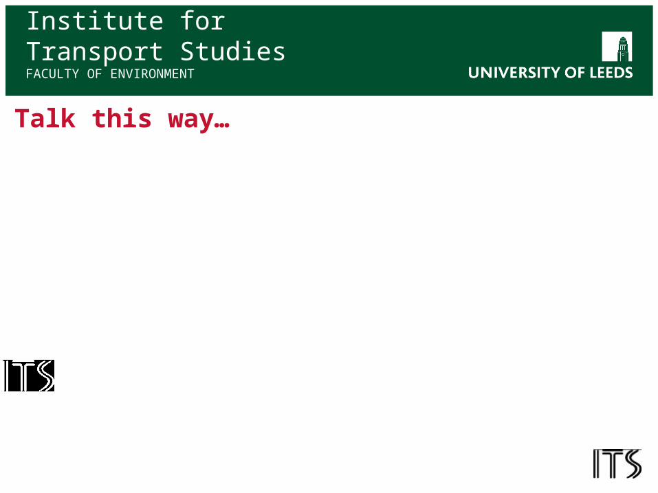
Technology
Can technology be the answer?
• GPS and mapping technology
• Augmented reality
• Personal Positioning Systems
• Triggered information (Beacons)
• Electronic leadlines?
• Exciting but not alternative to inclusively designed built environment

Institute for Transport StudiesFACULTY OF ENVIRONMENT
The Mobility Opportunities of ICT
Websites, Assistive Technologies and Apps
Design
Cost
Training
Take-up
The digital sub-divide?
Related Documents