Illustrations of country, regions and prefectures MAP OF UNITED KINGDOM

Illustrations of country, regions and prefectures MAP OF UNITED KINGDOM.
Dec 26, 2015
Welcome message from author
This document is posted to help you gain knowledge. Please leave a comment to let me know what you think about it! Share it to your friends and learn new things together.
Transcript

Illustrations of country, regions and prefecturesMAP OF UNITED KINGDOM

Aberdeen
Glasgow
Edingburgh
SCOTLAND
SCOTLAND
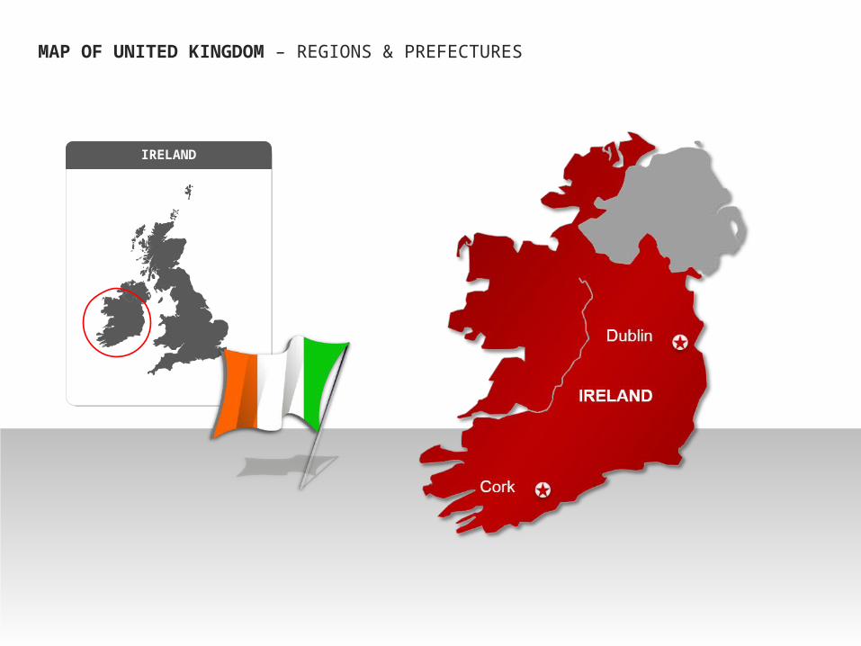
MAP OF UNITED KINGDOM – REGIONS & PREFECTURES

ENGLAND
London
Newcastle
Liverpool
Birmingham
Leeds
Sheffield
Leicester
Bristol
Manchester
Belfast
ENGLAND
MAP OF UNITED KINGDOM – REGIONS & PREFECTURES
MAP OF UNITED KINGDOM – REGIONS & PREFECTURES
IRELAND

MAP OF UNITED KINGDOM – REGIONS & PREFECTURES
Cardiff
WALES
WALES
•Text example
•Replace it with own text
•Text example
•Replace it with own text
•Text example
•Replace it with own text
•Text example
•Replace it with own text
Example text
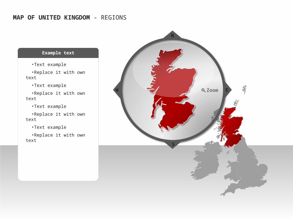
MAP OF UNITED KINGDOM - REGIONS
S
EW
N
Zoom

•Text example
•Replace it with own text
•Text example
•Replace it with own text
•Text example
•Replace it with own text
•Text example
•Replace it with own text
Example text
MAP OF UNITED KINGDOM - REGIONS
S
EW
N
Zoom

• United Kingdom – Highlight of RegionMAP OF UNITED KINGDOM - REGIONS
•Text example
•Replace it with own text
•Text example
•Replace it with own text
•Text example
•Replace it with own text
•Text example
•Replace it with own text
Example text
S
EW
N
Zoom

ENGLANDWALES
IRELAND
ATLANTIC OCEAN NORTH SEA
CELTIC SEA
IRISH SEA
MAP OF UNITED KINGDOM - REGIONS
SCOTLAND
UK
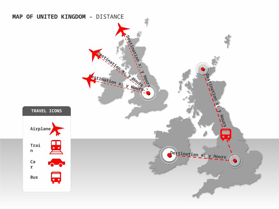
United Kingdom - DistancesMAP OF UNITED KINGDOM – DISTANCE
Destination x: y Hours
Destination x: y HoursDestination x: y Hours
Destination x: y Hours
Destination x: y Hours
TRAVEL ICONS
Airplane
Train
Car
Bus

• United Kingdom – Locations
•Text example
•Replace it with own text
•Text example
•Replace it with own text
•Text example
•Replace it with own text
•Text example
•Replace it with own text
Example text
MAP OF UNITED KINGDOM – CITY CENTERS

United Kingdom – Non Data driven
This is an example text. Go ahead an replace it with your own text.
This is an example text. Go ahead an replace it with your own text.
MAP OF UNITED KINGDOM - STATISTICS
76%56%
6%
46%
50%
82%50%
45%

United Kingdom – Country outline with flagMAP OF UNITED KINGDOM – FLAG CLIP ART
Related Documents