Discover Geospatial Data State of Hawaii

Hawaii Statewide GIS Program
Aug 20, 2015
Welcome message from author
This document is posted to help you gain knowledge. Please leave a comment to let me know what you think about it! Share it to your friends and learn new things together.
Transcript

Discover Geospatial Data
State of Hawaii
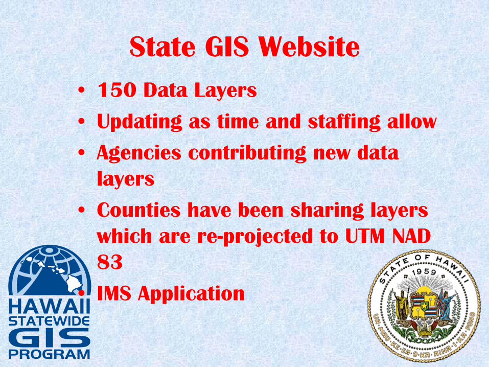
State GIS Website•
150 Data Layers
•
Updating as time and staffing allow
•
Agencies contributing new data layers
•
Counties have been sharing layers which are re-projected to UTM NAD 83
•
IMS Application
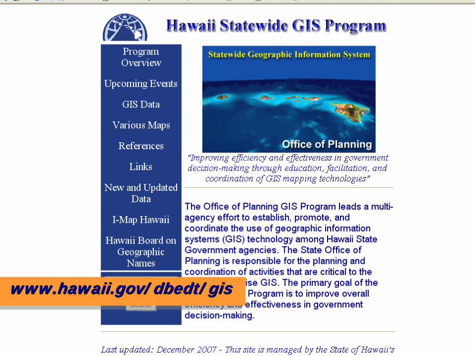
www.hawaii.gov/dbedt/giswww.hawaii.gov/dbedt/gis

LiDAR Acquisitions
•
Oahu: Kakaako, Turtle Bay area and Dillingham Airfield
•
Hawaii: Kilauea Crater, Kona, Waimea
•
Lanai: Entire Island
•
Maui: Kihei area

LiDAR-Lanai

Imagery
•
Began filling in gaps in the DOQQ coverage using DigitalGlobe satellite imagery
•
NRCS has taken over this effort

Impervious Surface Data
•
Initial product produced to carry out the C-CAP analysis
•
Oahu and Maui Impervious and C-CAP being done by NOAA
•
Kauai and Niihau have been reviewed and accepted
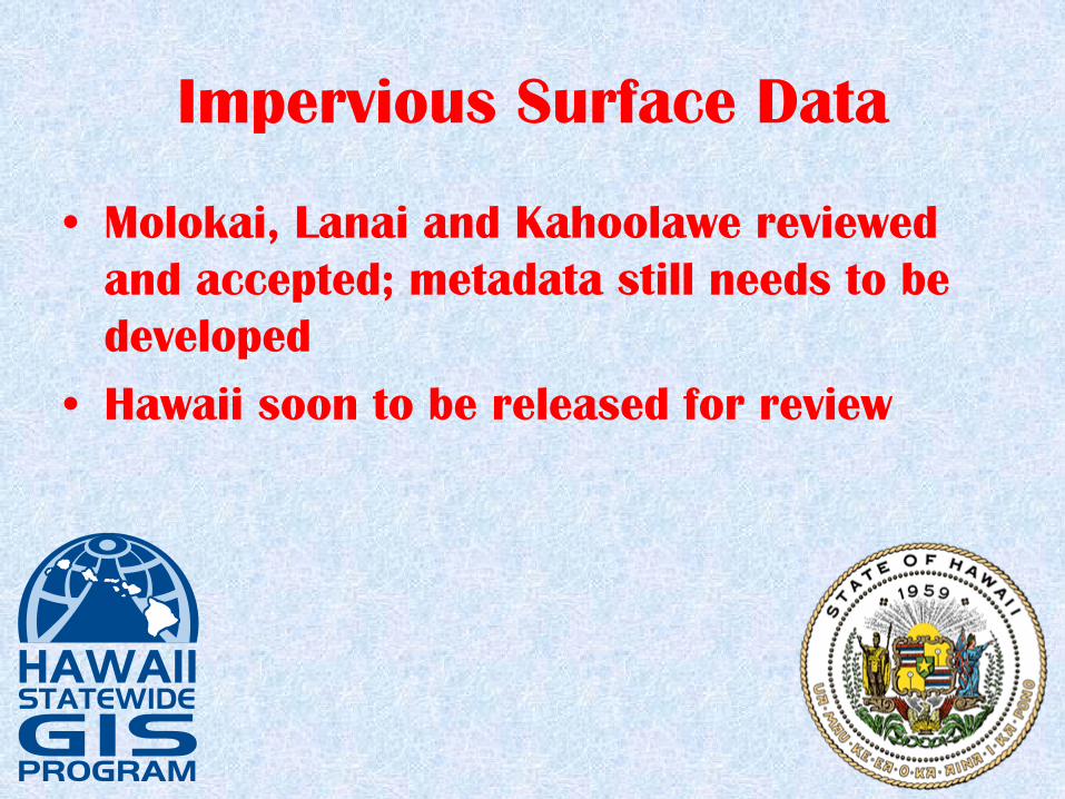
Impervious Surface Data
•
Molokai, Lanai and Kahoolawe reviewed and accepted; metadata still needs to be developed
•
Hawaii soon to be released for review

Impervious Surface-Lihue, Kauai

Contact Information
•
Craig Tasaka: 587-2894, [email protected]
•
Joan Delos Santos: 587-2895, [email protected]
•
Dennis Kim: 587-2896, [email protected]
Related Documents