GIS Tutorial 1 Lecture 3 GIS outputs

Welcome message from author
This document is posted to help you gain knowledge. Please leave a comment to let me know what you think about it! Share it to your friends and learn new things together.
Transcript
GIS Tutorial 1
Lecture 3GIS outputs
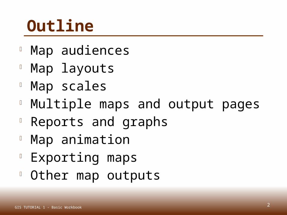
Outline Map audiences Map layouts Map scales Multiple maps and output pages Reports and graphs Map animation Exporting maps Other map outputs
2GIS TUTORIAL 1 - Basic Workbook

MAP AUDIENCESLecture 3
3GIS TUTORIAL 1 - Basic Workbook

Map audiences
Map use: Exploration
Presentation
Audience: Trained analyst General public
Purpose: Visual thinking Communication
Advantages: Graphical Believable
Granularity: Fine Coarse
Symbols: Abstract Mimetic
capital
railroad
4GIS TUTORIAL 1 - Basic Workbook

MAP LAYOUTSLecture 3
5GIS TUTORIAL 1 - Basic Workbook
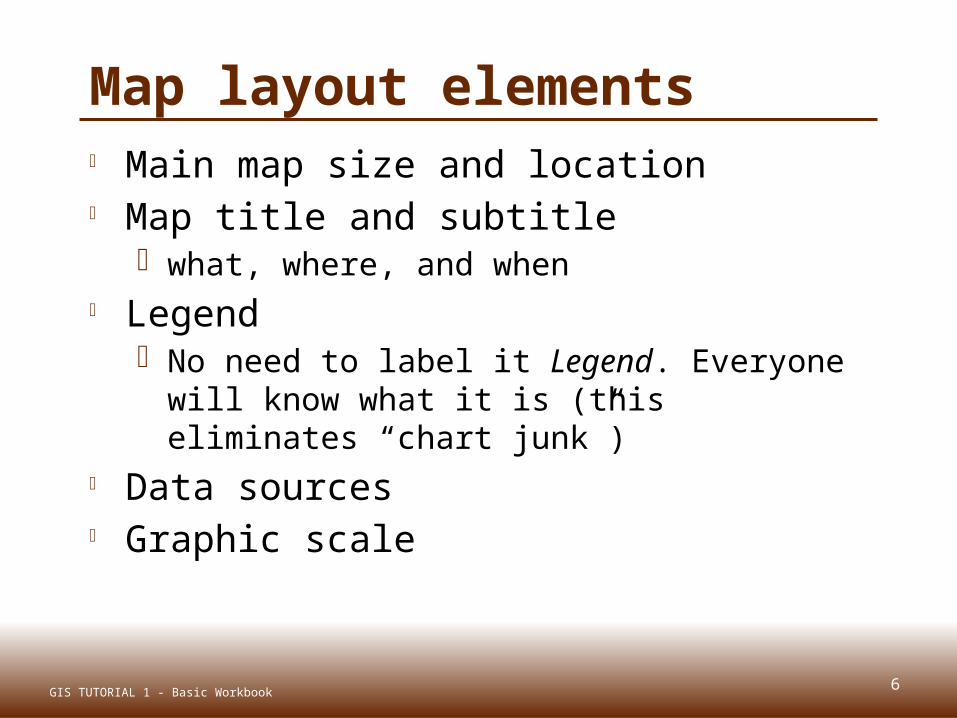
Map layout elements Main map size and location Map title and subtitle
what, where, and when Legend
No need to label it Legend. Everyone will know what it is (this eliminates “chart junk”)
Data sources Graphic scale
6GIS TUTORIAL 1 - Basic Workbook
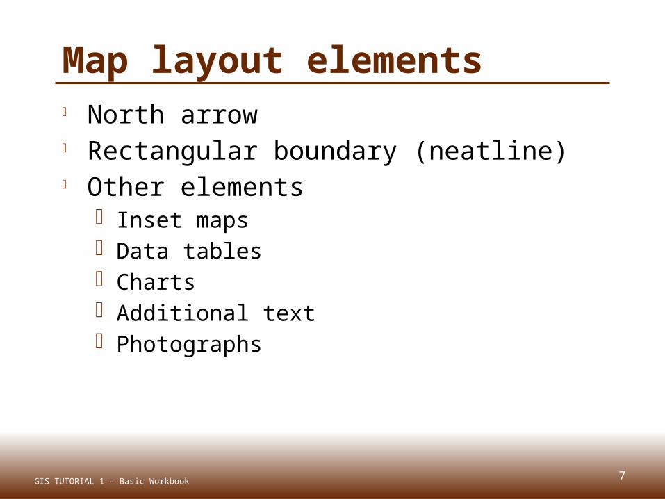
Map layout elements North arrow Rectangular boundary (neatline) Other elements
Inset maps Data tables Charts Additional text Photographs
7GIS TUTORIAL 1 - Basic Workbook
8
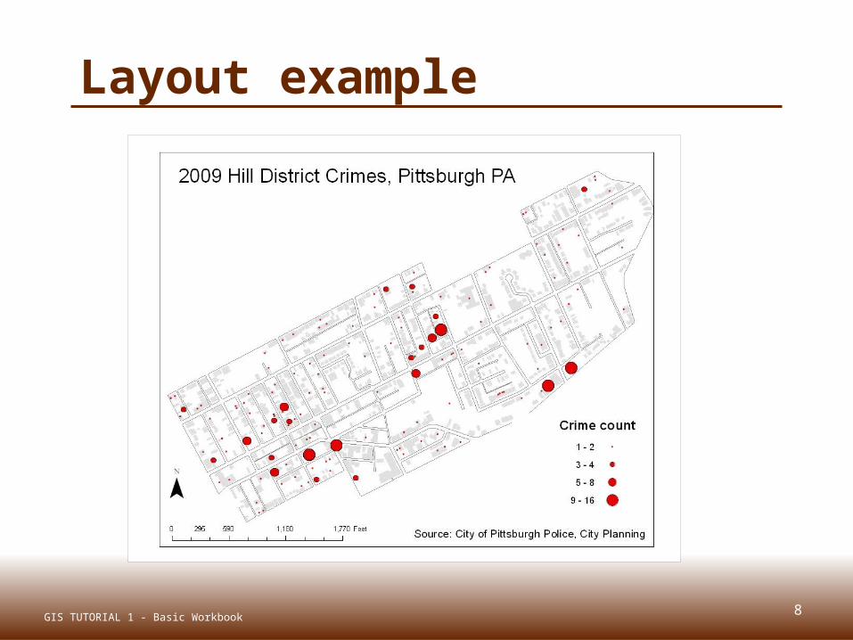
Layout example
GIS TUTORIAL 1 - Basic Workbook
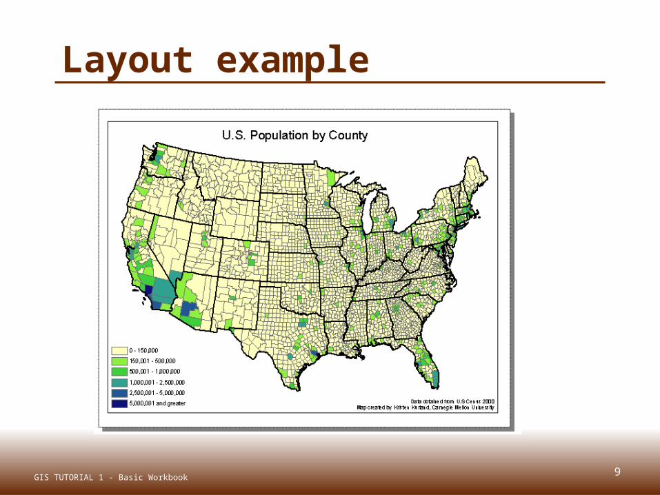
Layout example
9GIS TUTORIAL 1 - Basic Workbook

Fonts Style
Simple and legible Formal or informal
Number of fonts Placement Halos
Contrasts background
10GIS TUTORIAL 1 - Basic Workbook

11
Bad layout
GIS TUTORIAL 1 - Basic Workbook
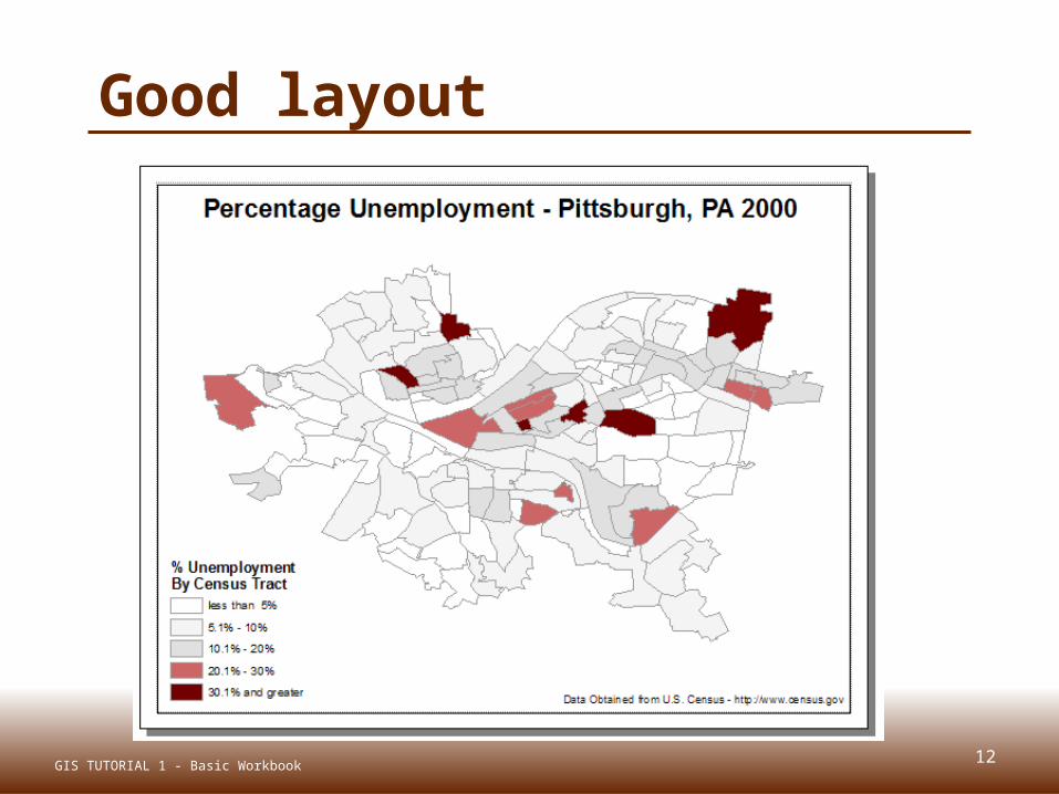
12
Good layout
GIS TUTORIAL 1 - Basic Workbook
MAP SCALESLecture 3
13GIS TUTORIAL 1 - Basic Workbook
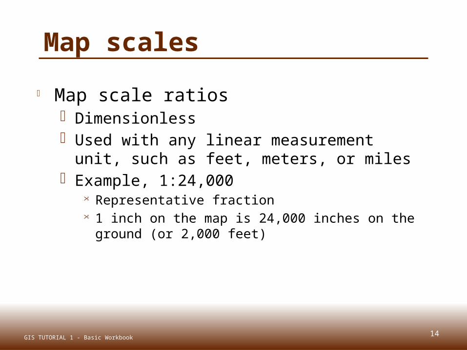
Map scales
Map scale ratios Dimensionless Used with any linear measurement unit,
such as feet, meters, or miles Example, 1:24,000
Representative fraction 1 inch on the map is 24,000 inches on the ground
(or 2,000 feet)
14GIS TUTORIAL 1 - Basic Workbook
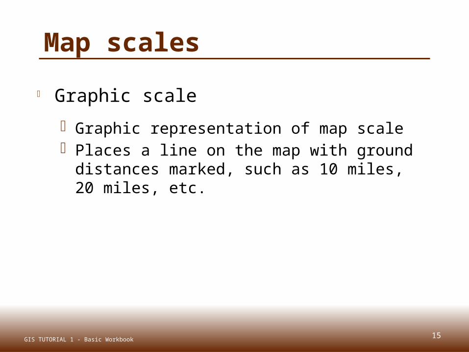
Map scales
Graphic scale
Graphic representation of map scale Places a line on the map with ground
distances marked, such as 10 miles, 20 miles, etc.
15GIS TUTORIAL 1 - Basic Workbook

16
Map scales
GIS TUTORIAL 1 - Basic Workbook
1:5,000 is large scale1:50,000,000 is small scale
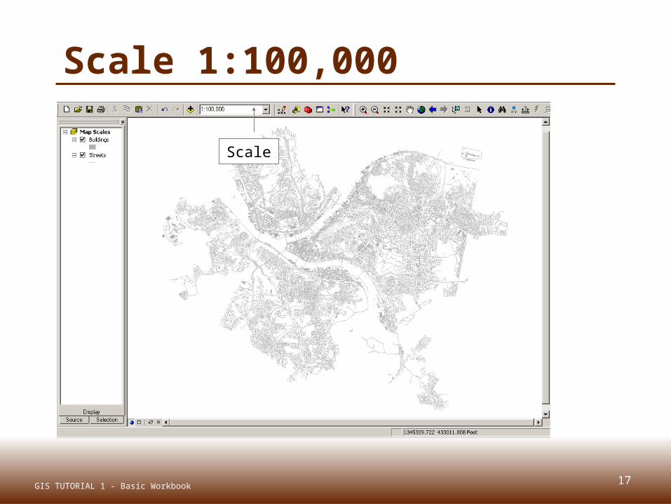
Scale 1:100,000
Scale
17GIS TUTORIAL 1 - Basic Workbook
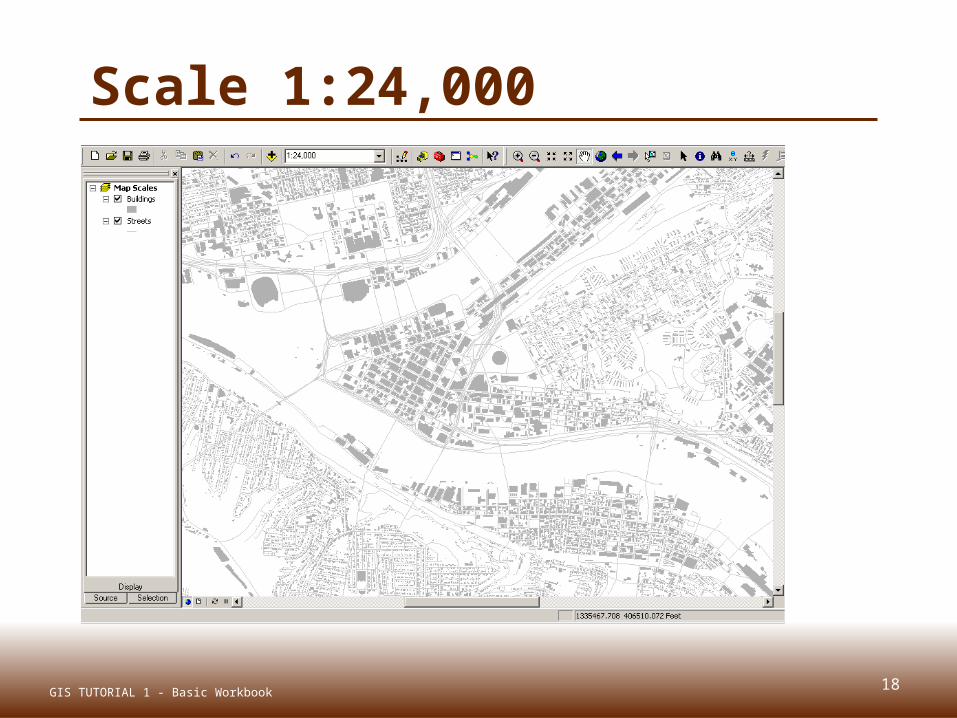
Scale 1:24,000
18GIS TUTORIAL 1 - Basic Workbook
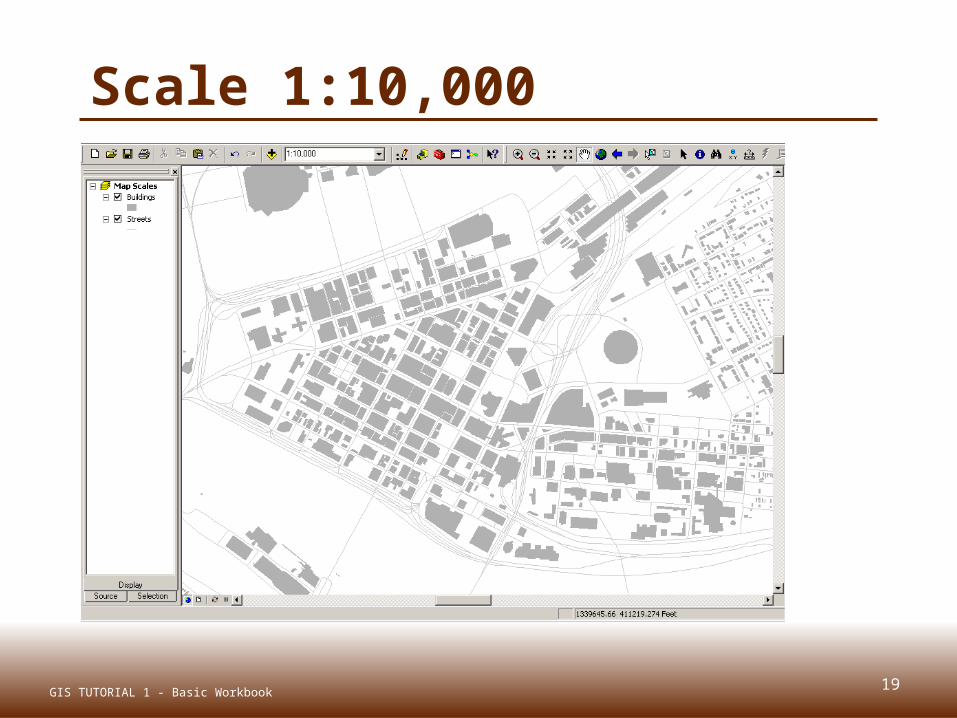
Scale 1:10,000
19GIS TUTORIAL 1 - Basic Workbook

Scale 1:5,000 (large scale)
20GIS TUTORIAL 1 - Basic Workbook
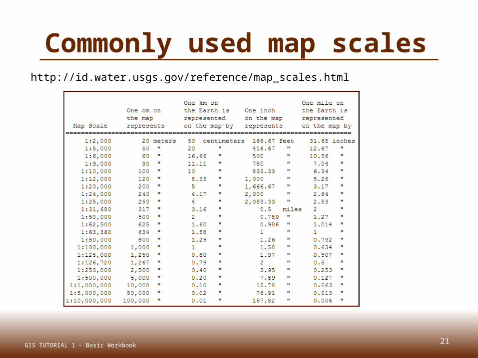
Commonly used map scaleshttp://id.water.usgs.gov/reference/map_scales.html
21GIS TUTORIAL 1 - Basic Workbook

22
Map units
GIS TUTORIAL 1 - Basic Workbook
Feet or meters isthe map unit formost local
government GIS applications
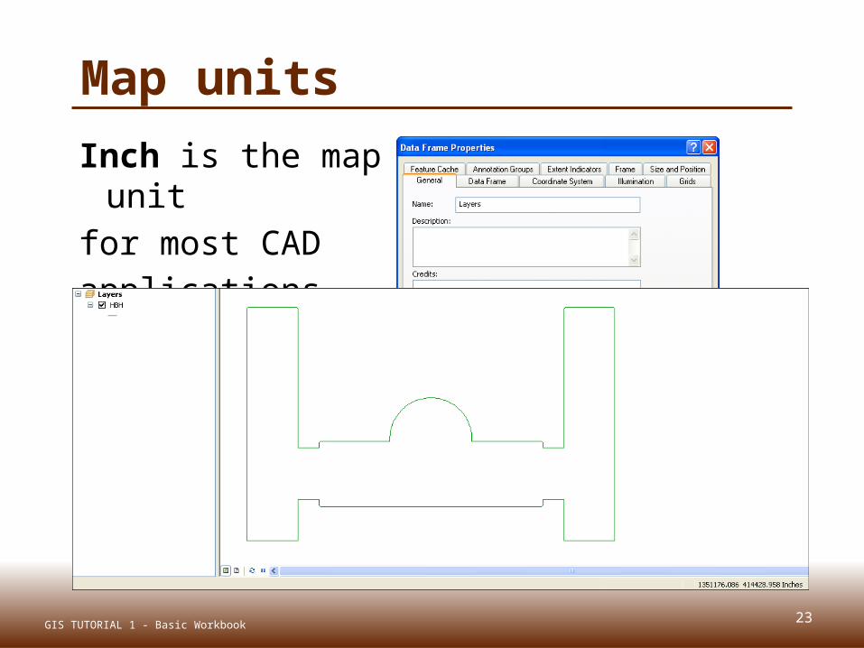
23
Map units
GIS TUTORIAL 1 - Basic Workbook
Inch is the map unit
for most CAD applications

MULTIPLE MAPS AND OUTPUT PAGES
Lecture 3
24GIS TUTORIAL 1 - Basic Workbook
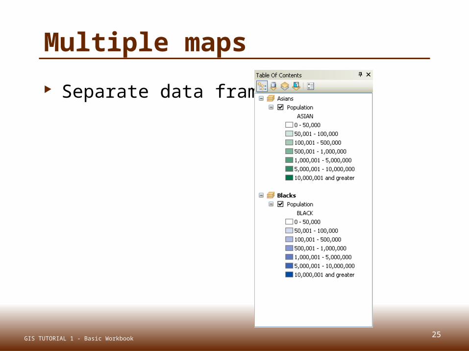
Multiple maps
Separate data frames
25GIS TUTORIAL 1 - Basic Workbook

26
Multiple maps
Separate layouts
Same size
Same scale
Subtitles (optional)
GIS TUTORIAL 1 - Basic Workbook

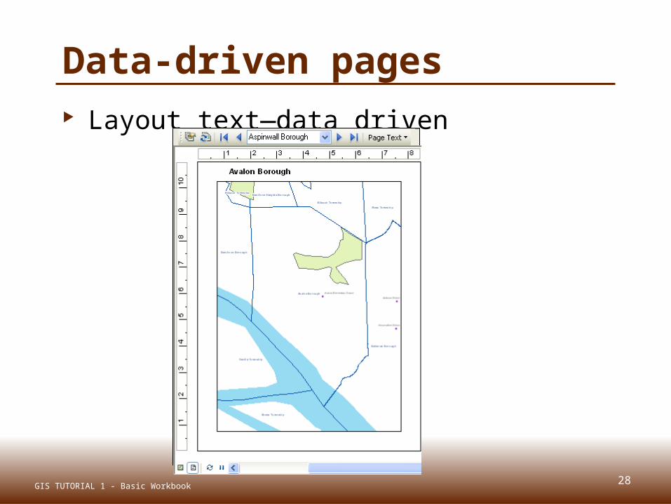
Data driven pages Produces several maps from one layout Tools, customize, data-driven pages
27GIS TUTORIAL 1 - Basic Workbook
28
Data-driven pages Layout text—data driven
GIS TUTORIAL 1 - Basic Workbook

REPORTS AND GRAPHSLecture 3
29GIS TUTORIAL 1 - Basic Workbook

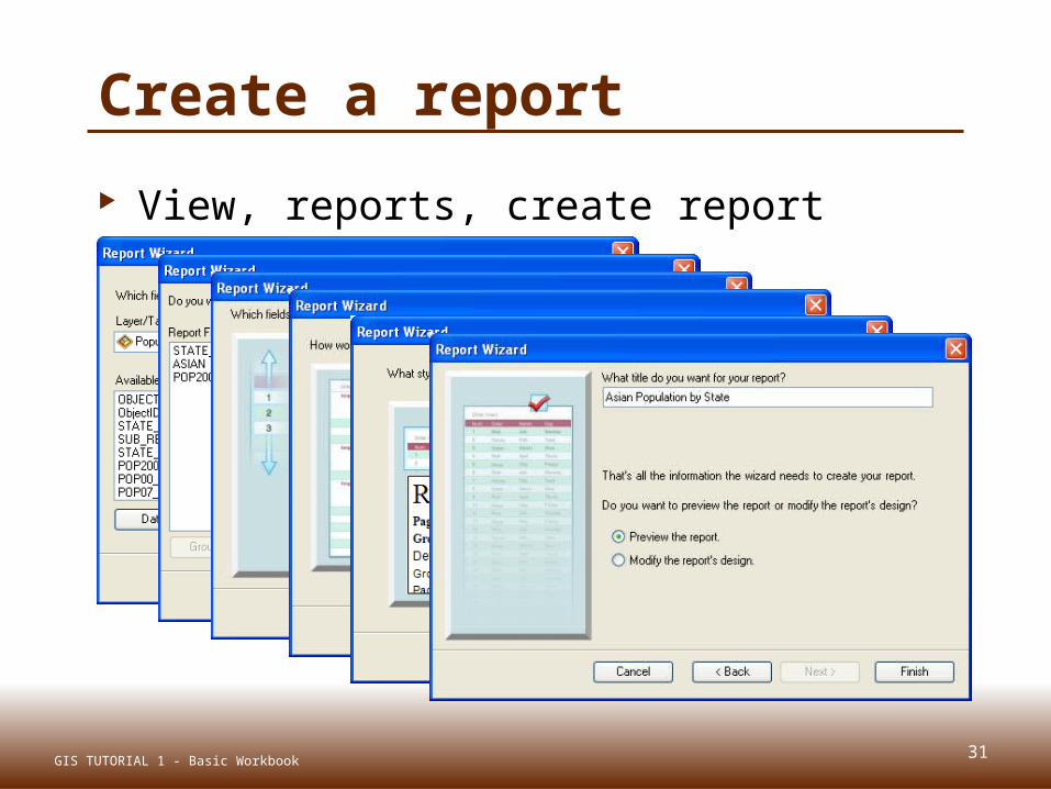
Create a report
Select records for a report
30GIS TUTORIAL 1 - Basic Workbook
31
Create a report
View, reports, create report
GIS TUTORIAL 1 - Basic Workbook
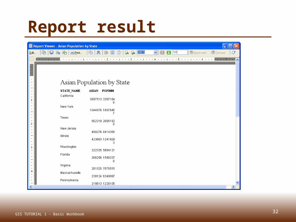
32
Report result
GIS TUTORIAL 1 - Basic Workbook
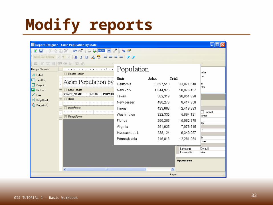
33
Modify reports
GIS TUTORIAL 1 - Basic Workbook
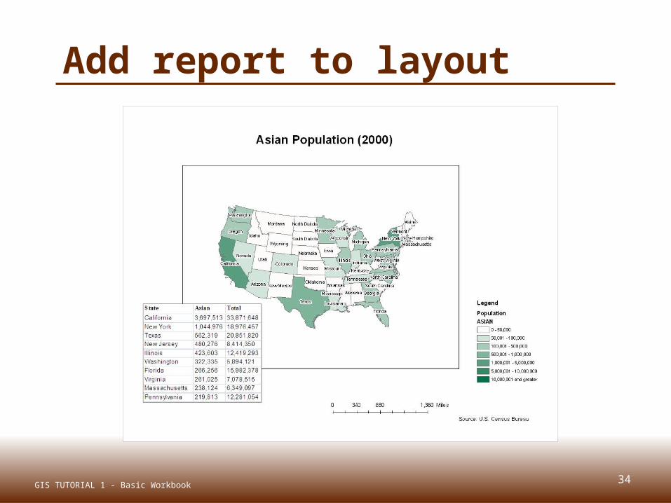
34
Add report to layout
GIS TUTORIAL 1 - Basic Workbook
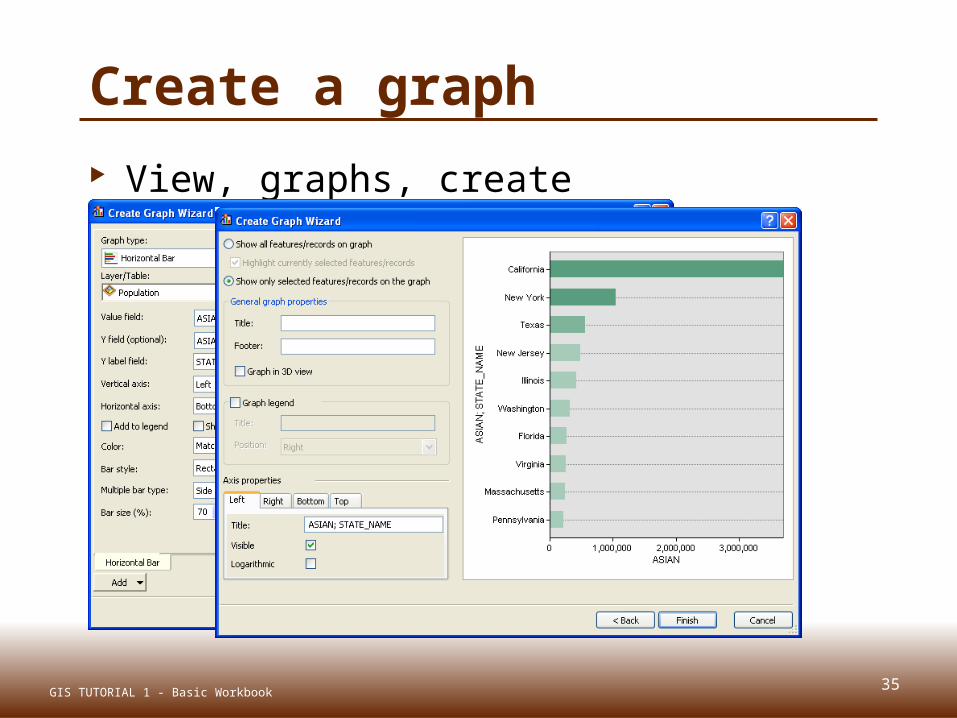
35
Create a graph
View, graphs, create
GIS TUTORIAL 1 - Basic Workbook
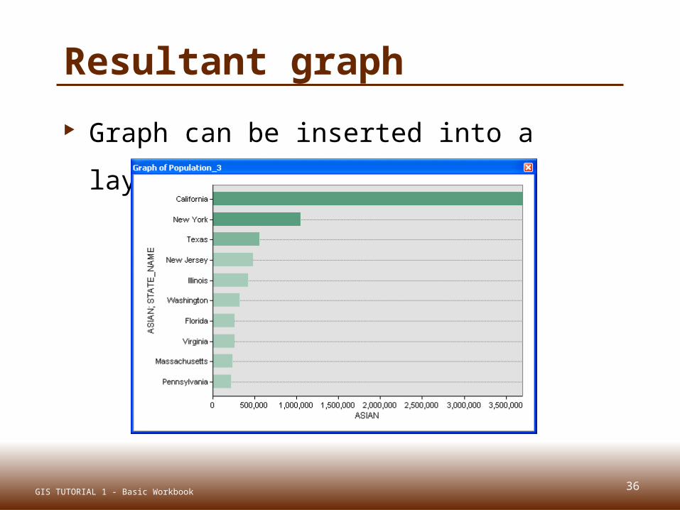
36
Resultant graph
Graph can be inserted into a layout
GIS TUTORIAL 1 - Basic Workbook

MAP ANIMATIONLecture 3
37GIS TUTORIAL 1 - Basic Workbook
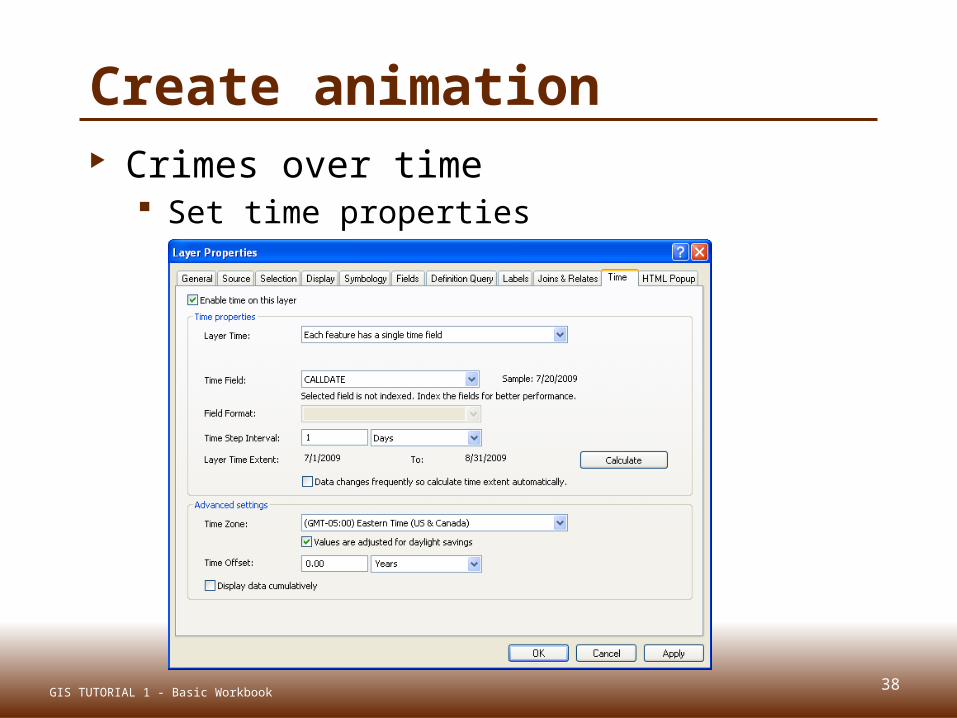
38
Create animation Crimes over time
Set time properties
GIS TUTORIAL 1 - Basic Workbook

39
Animation properties
Time slider window and options
GIS TUTORIAL 1 - Basic Workbook

40
Play animation
GIS TUTORIAL 1 - Basic Workbook
EXPORTING MAPSLecture 3
41GIS TUTORIAL 1 - Basic Workbook
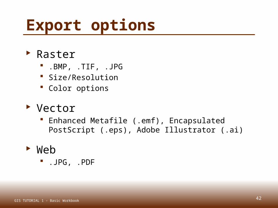
Export options
Raster .BMP, .TIF, .JPG Size/Resolution Color options
Vector Enhanced Metafile (.emf), Encapsulated PostScript
(.eps), Adobe Illustrator (.ai)
Web .JPG, .PDF
42GIS TUTORIAL 1 - Basic Workbook
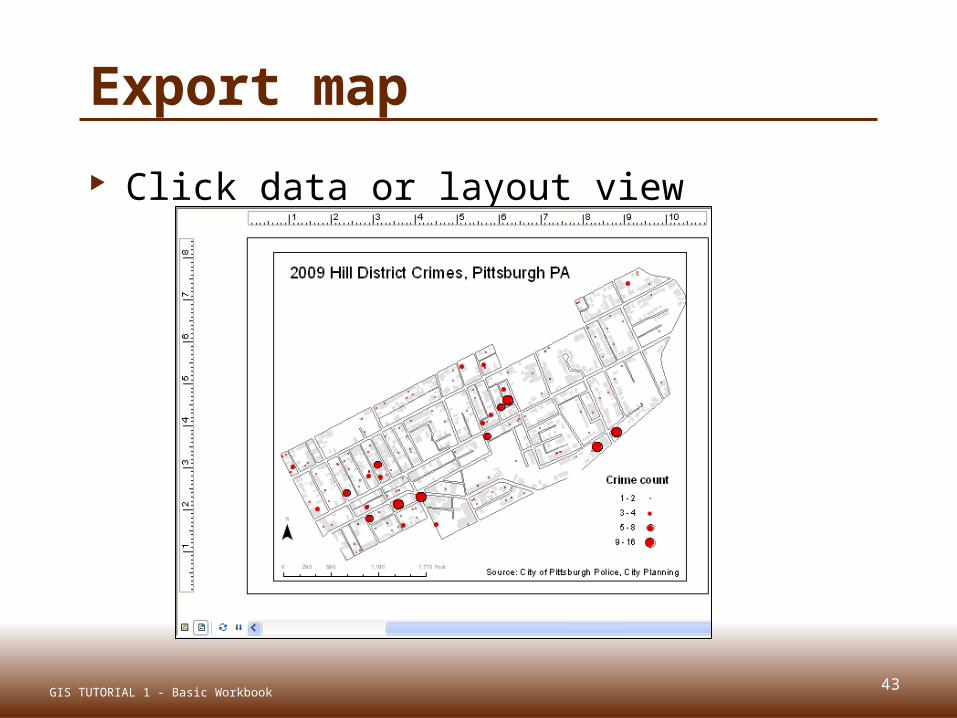
43
Export map
Click data or layout view
GIS TUTORIAL 1 - Basic Workbook
44
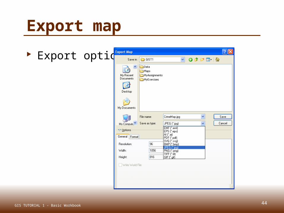
Export map
Export options
GIS TUTORIAL 1 - Basic Workbook

45
Image file
GIS TUTORIAL 1 - Basic Workbook
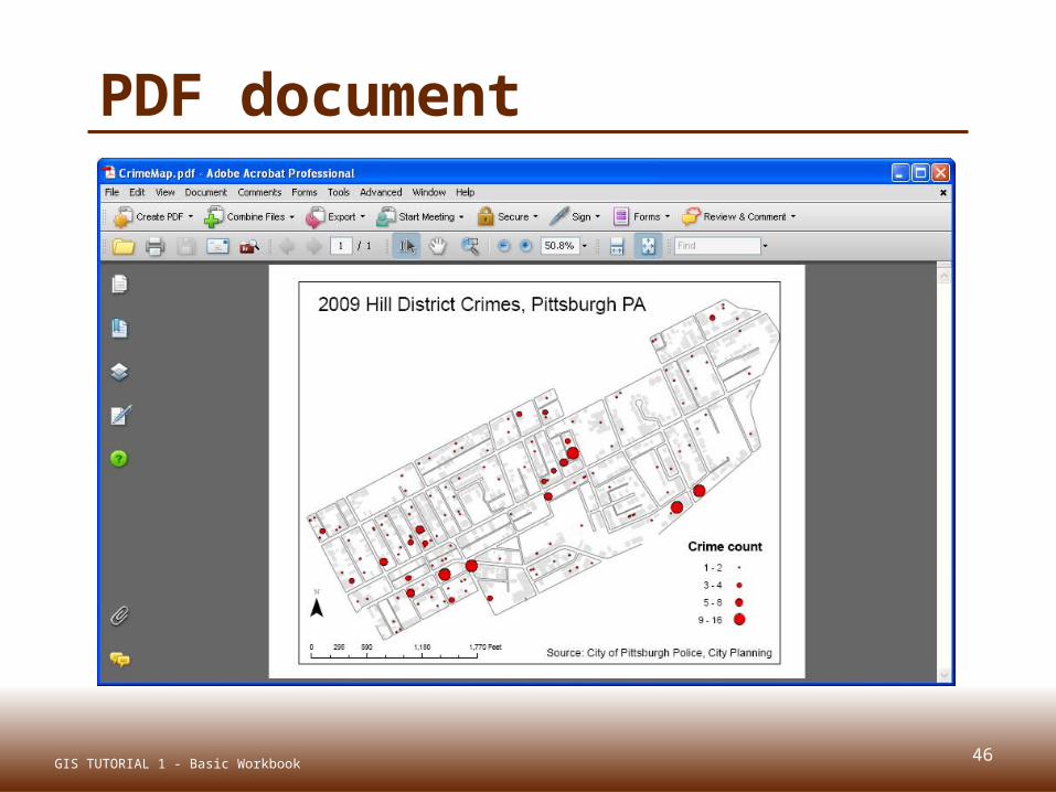
46
PDF document
GIS TUTORIAL 1 - Basic Workbook

47
Adobe Illustrator
GIS TUTORIAL 1 - Basic Workbook
48
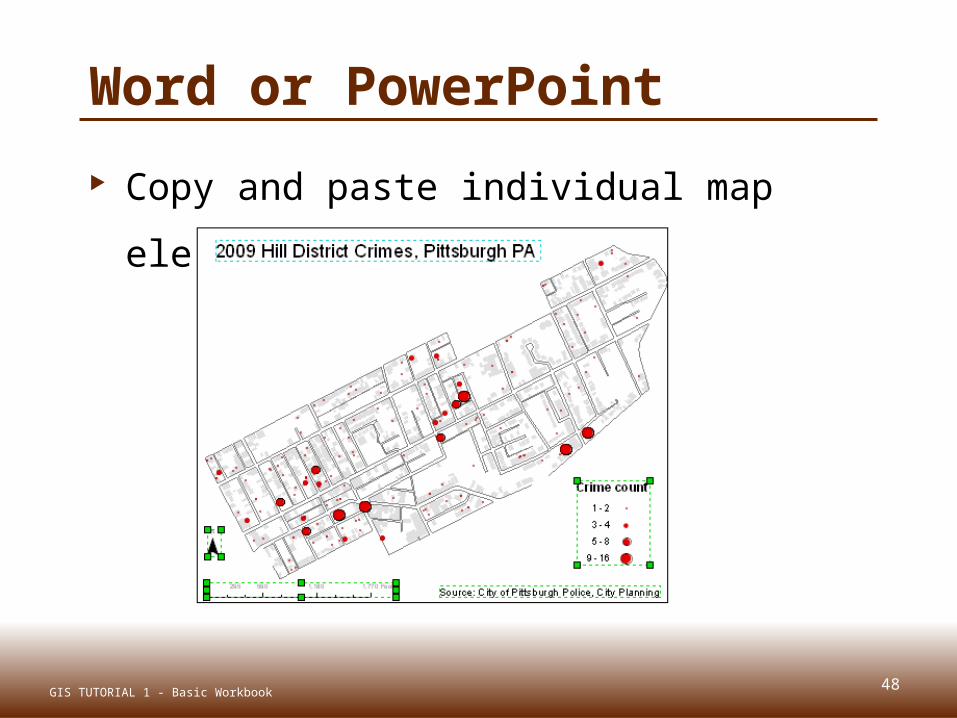
Word or PowerPoint
Copy and paste individual map
elements
GIS TUTORIAL 1 - Basic Workbook

OTHER OUTPUTSLecture 3
49GIS TUTORIAL 1 - Basic Workbook
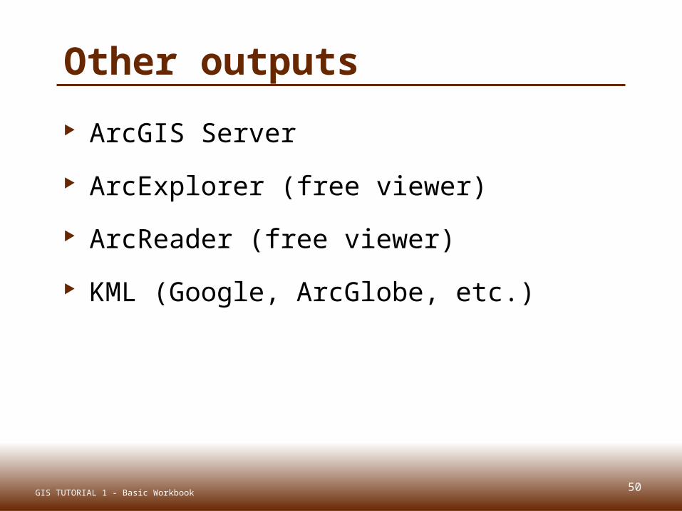
50
Other outputs
ArcGIS Server
ArcExplorer (free viewer)
ArcReader (free viewer)
KML (Google, ArcGlobe, etc.)
GIS TUTORIAL 1 - Basic Workbook
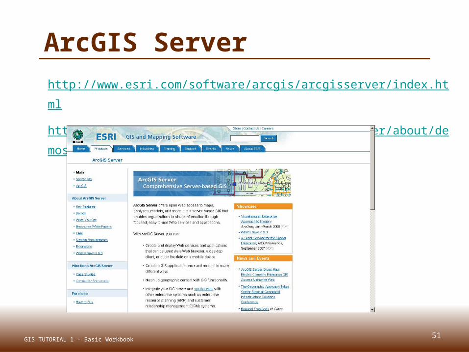
http://www.esri.com/software/arcgis/arcgisserver/index.html
http://www.esri.com/software/arcgis/arcgisserver/about/demos.html
51GIS TUTORIAL 1 - Basic Workbook
ArcGIS Server

ArcExplorer
http://www.esri.com/software/arcexplorer/explorer.html
52GIS TUTORIAL 1 - Basic Workbook
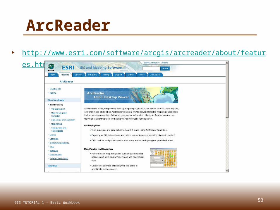
ArcReader
http://www.esri.com/software/arcgis/arcreader/about/features.html
53GIS TUTORIAL 1 - Basic Workbook

Google KML files
54GIS TUTORIAL 1 - Basic Workbook
Summary
Map audiences Map layouts Map scales Multiple maps and output pages Reports and graphs Map animation Exporting maps Other map outputs
55GIS TUTORIAL 1 - Basic Workbook
Related Documents